Pete's Walks - Dunstable Downs and Markyate (page 4 of 4)
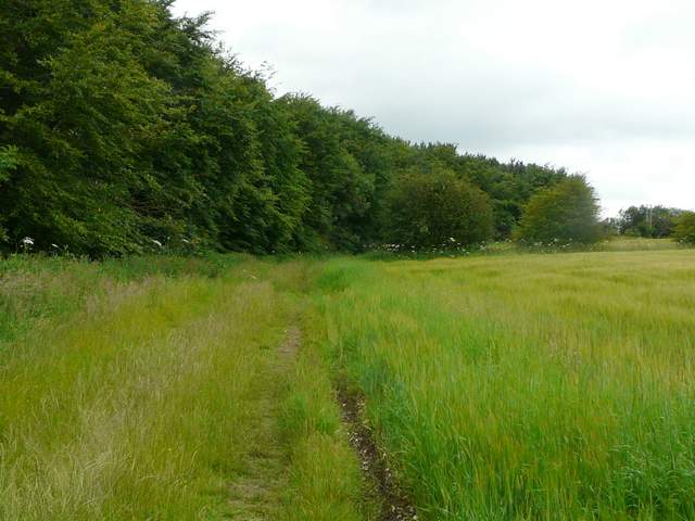
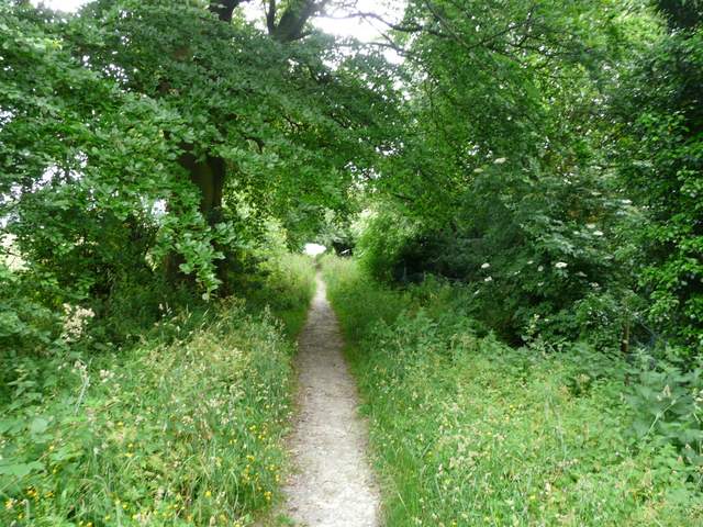
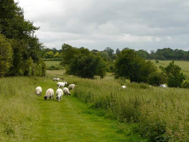
Further on the quarry path followed the edge of a wood on my left. A short distance past the end of the wood, the path turned left through a metal kissing gate and soon started to drop downhill between fences (it was here that I first saw a part of the quarry, on my right). Towards the bottom of the slope (steep enough in parts to have wooden steps), the path turned right and continued through a small wood. It then crossed the bottom of the valley along a farm track, but when this turned sharply left the path continued ahead, to the right of a hedgerow. This gradually rose up the far side of the valley and curved right.
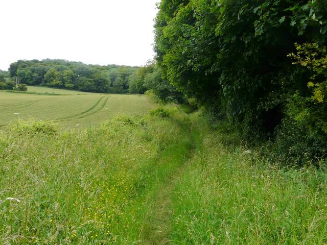
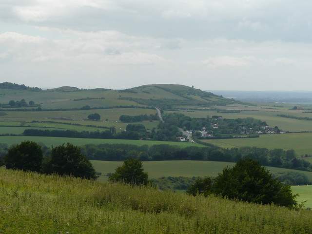
The path round Kensworth Quarry
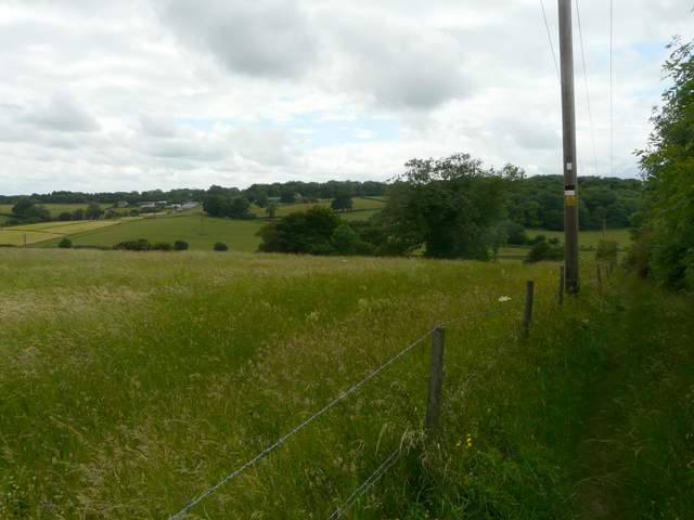
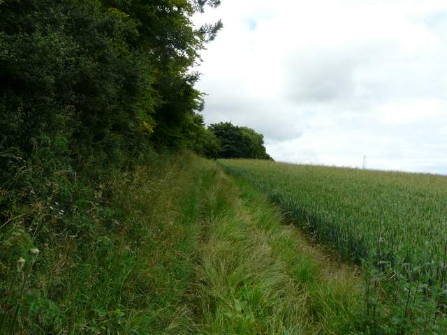
The path round Kensworth Quarry, descending back into the valley north of Kensworth
The path round Kensworth Quarry, descending back into the valley north of Kensworth
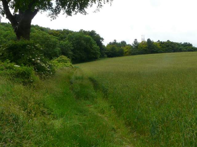
The path round Kensworth Quarry, in the valley north of Kensworth
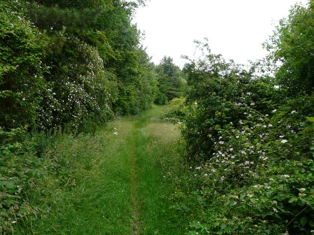
The path round Kensworth Quarry
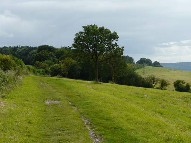
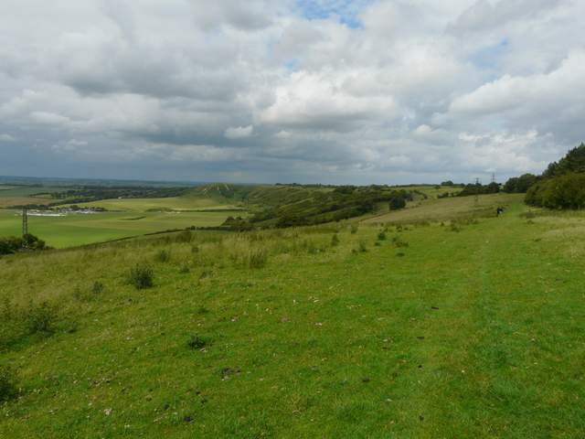
By the time the quarry path had reached the top of the hill it was running beside another wood, on my left. I passed a junction where a path went left, and as I continued along the path, I soon saw the quarry buildings at the head of the valley. After a while the path turned left through a narrow wood, turning right along its far side to reach the tarmac drive down to the quarry. Here I followed the drive a short distance to my right, before the quarry path continued on the other side. After two or three hundred yards a yellow-topped post indicated where a short path went left through trees to reach a junction with a path beside Dunstable Downs Golf Course. Here I turned left, and soon reached the top of the Downs by the old car park.
The path round Kensworth Quarry
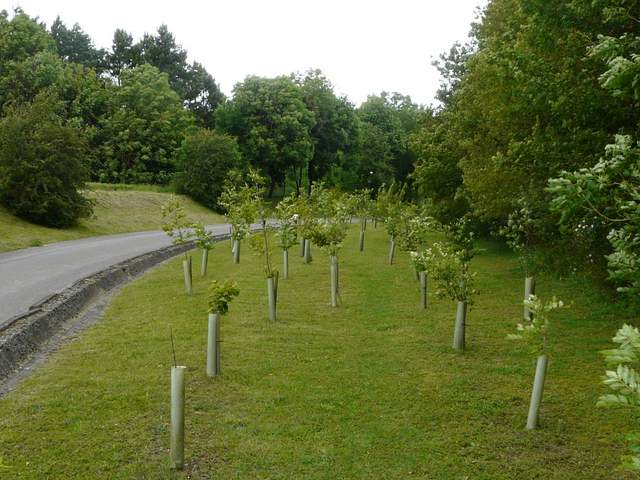
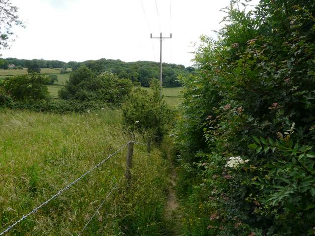
Beside the drive to Kensworth Quarry
The path round Kensworth Quarry
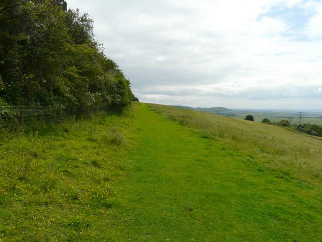
The path beside Dunstable Downs Golf Course, approaching the road over the Downs
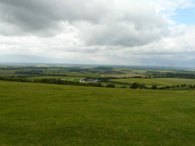
Dunstable Downs are a steep section of the Chiltern escarpment, lying immediately southwest of Dunstable. The views from the top of the Downs extend for up to 40 miles on a clear day, over the Vale of Aylesbury and as far as Northamptonshire and Oxfordshire. The London Gliding Club is based at the foot of the scrub covered slopes, so gliders are usually to be seen soaring overhead, often competing for air space with hang gliders and paragliders that launch from the top of the Downs. Kite flying is also a very popular activity here. The Downs are a very popular local attraction, and were voted one of the ‘Seven wonders of the East’ by viewers of the BBC’s regional Look East programme.
I walked through the old car park ('old' in that it was the main car park for the old visitor centre which was demolished a few years ago to be replaced by the Chiltern Gateway Centre) and turned left along the gravel path along the top of Dunstable Downs. Being the sad pedant that I am, I have to admit that I actually turned left along the path to the Chiltern Gateway Centre and followed it the car park before turning round and coming back, then continuing along the top of the Downs (just so I can say I've repeated every step of Walk 1 of my Chiltern Chain Walk in the opposite direction!). As always it was pleasant admiring the views over the Vale of Aylesbury from the Downs, although the wind had really picked up now and it was almost blowing a gale. The path went through a metal kissing gate into a corner of a huge pasture (the Downs become Whipsnade Downs at this point, I believe - other parts off 'Dunstable' Downs are actually in Kensworth). It was probably another half a mile through this pasture until I eventually reached another gate, just yards from the car park on Bison Hill where I'd started.
The Chilterns Gateway Centre is situated at the highest point in Bedfordshire, 798 feet above sea level on Dunstable Downs. It cost £2.5 million pounds to build, and was officially opened by TV presenter Michaela Strachan on 23rd May 2007. It provides much improved facilities for visitors to the Downs, including a National Trust run café and a gift shop. Amongst other displays on its walls is the only one I know of for the Chiltern Way. The visitor centre is at the heart of the Chilterns Gateway Project “a flagship environmentally-led regeneration initiative steered by a partnership between Bedfordshire County Council and The National Trust”.
View from Dunstable Downs, towards Totternhoe and the Vale of Aylesbury
The path along the top of Dunstable Downs, just past the Chilterns Gateway Centre
The path along the top of the Whipsnade Downs
Close-up shot towards Ivinghoe Beacon
Looking back along the line of Whipsnade and Dunstable Downs
Approaching the car park on Bison Hill
This was a very pleasant walk, even if the weather had been a little indifferent. I always enjoy walking at this time of year when so may wildflowers are about, and this route reminded me once again how good and varied the countryside is right here on my doorstop. Obviously the Downs are the high spot, as they would be for most walks, but Studham Common, the Tree Cathedral and the numerous woods all added interest to the walk. Even the industrial scale of Kensworth Quarry is impressive in its way, and it's good to seeing old parts of the quarry being deliberately returned to nature (there is now a small nature reserve on the opposite side of the quarry to the section this route passed).