Pete's Walks - Chenies, Ley Hill, Chipperfield Common (page 2 of 5)
I turned right along the track and followed it gradually uphill. For much of the way the hedges either side overhung the bridleway, forming a 'green tunnel', but as I reached the top of the slope the hedge on the right was replaced by a wooden fence, bordering a corn field. Here I met a couple of elderly walkers who commented on how muddy the paths were - so far I'd had no problems, but I was soon to see what they meant. The rest of the bridleway was quite muddy, until it ended at another hedged track, Green Lane.
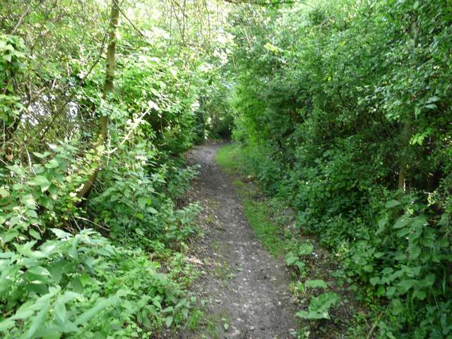
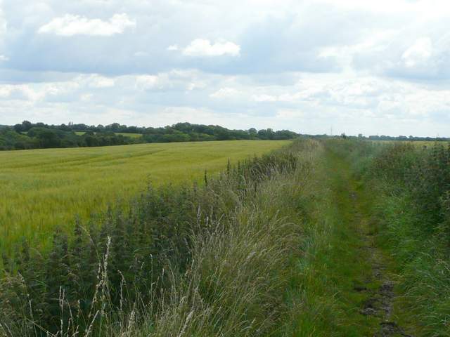
The bridleway going northwest from Broadwater Bridge
The bridleway going northwest from Broadwater Bridge
The bridleway going northwest from Broadwater Bridge - it was just past this point that I first came across a really muddy section of path
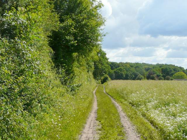
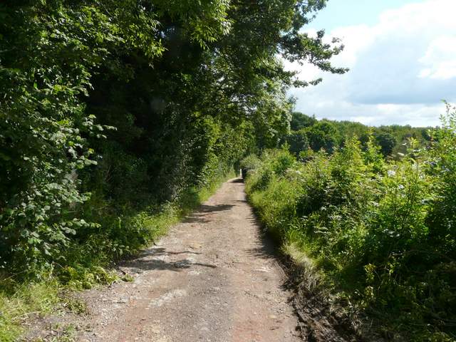
I went a short distance right along Green Lane, then turned left onto a bridleway going north. Initially there was a wood on my left, with a corn field on my right. Further on I was walking through an open area of tall grass - this area was dotted with mature trees like the park land around a grand house, so I assume it is the remains of White End Park, the name of the nearby farm. The bridleway continued with Cowcroft Wood on my left - now the going was very muddy indeed. It was just as well I'd taken the precaution of wearing my gaiters - it's hard to believe they are necessary in the middle of July! It's a sign of just how miserably wet the last few months have been. The bridleway gradually curved half-right. I ignored a path going left, and when I came to a T-junction I bore right. The bridleway was soon running between fences with some enclosures to my left, eventually jopining a farm track and then a drive, leading to a lane just south of the village of Ley Hill.
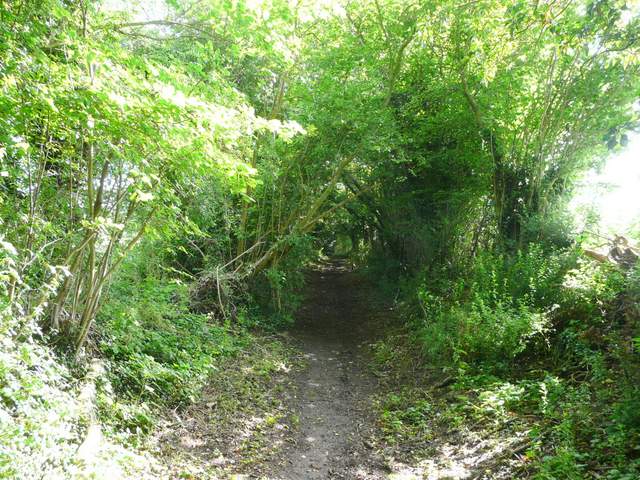
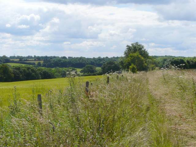
The start of the bridleway north from Green Lane, going through what I presume was once White End Park
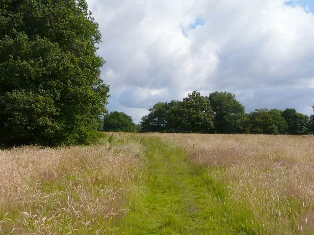
The bridleway north from Green Lane, going through what I presume was once White End Park
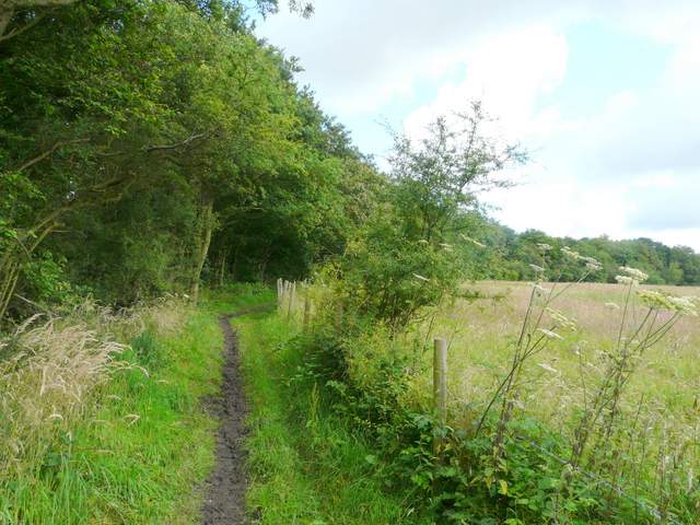
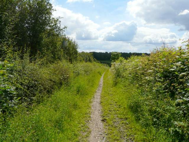
The bridleway continuing beside Cowcroft Wood - it was very muddy in places along here
The bridleway continuing beside Cowcroft Wood
The bridleway continuing beside Cowcroft Wood
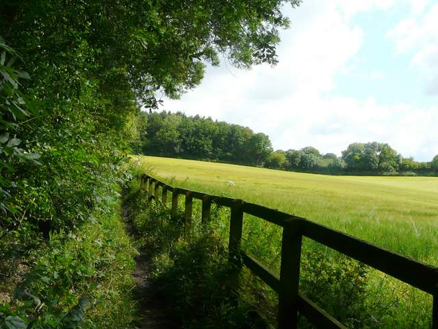
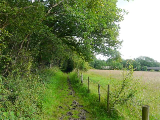
The bridleway along a track near Cowcroft Farm
The bridleway along a track near Cowcroft Farm
Across the road a path led through a wood, part of Leyhill Common which is used as a golf course. On leaving the wood I passed a couple of tees and crossed a fairway to reach another lane, which I followed to the left. At a T-junction I went right for two or three hundred yards, before turning left onto a familiar lengthy bridleway from Flounden End Farm to the valley of Flaunden Bottom. This soon curved right, running between corn fields. As usual it was a pleasant section to walk, with pleasant views ahead. But there was a section with tall trees either side and again this was dreadfully muddy (I might just as well have been walking in the depths of winter). But this was over soon enough and the bridleway gradually wound its way down between hedges to reach the road in Flaunden Bottom.
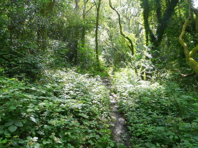
The path through the wood by the golf course at Ley Hill
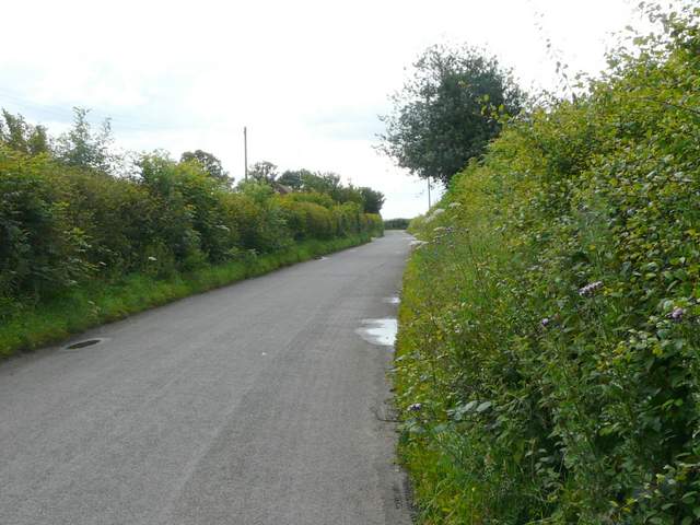
The lane going southeast from Ley Hill, near Flounden (sic) End Farm
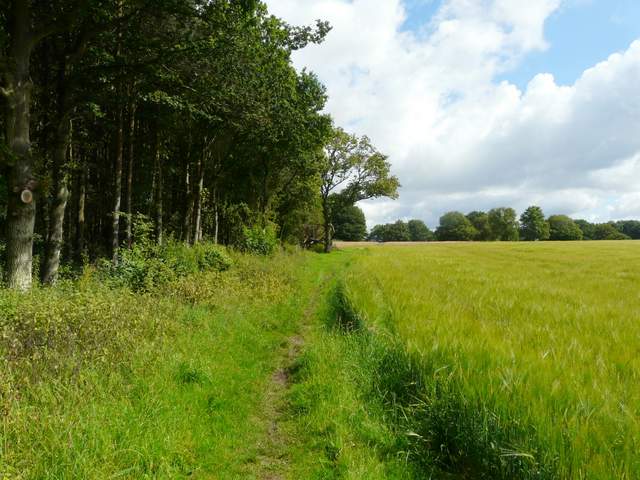
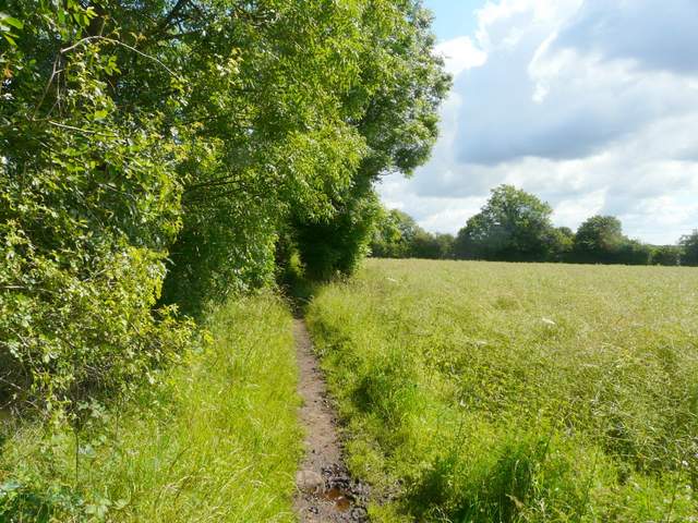
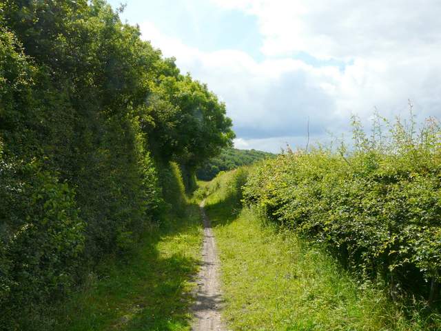
The bridleway going southeast from Flounden End Farm
The bridleway going southeast from Flounden End Farm
The bridleway going southeast from Flounden End Farm (this is just after the dreadfully muddy section)
The bridleway going southeast from Flounden End Farm, approaching Flaunden Bottom