Pete's Walks - Stockgrove and Little Brickhill (page 1 of 2)
If you are considering walking this route yourself, please see my disclaimer. You may also like to see these notes about the maps and GPX files.
I did this very roughly 9.5 mile circular walk on Saturday, 4th August, 2012. I set out to repeat my 13-mile Stockgrove, The Brickhills, Woburn Sands walk, but cut it short because of heavy rain. I did the walk clockwise. I have marked the short cut as Alternative 3 on the map. The circular walk using Alternative 3 is probably about 7.5 miles, but I also walked 1 mile each way along the section immediately past the start of Alternative 3, giving a total distance of about 9.5 miles.
We are having a "Walking For Wellness" competition at work during the London Olympics - we have each paid £5 to enter and the money will go to the charity of choice of the team (three people per team) who walk the most steps. We have each been equipped with a very cheap (and unreliable) pedometer to measure the number of steps - more on that later!
I parked at the car park for Stockgrove Country Park (it now costs £2 to park here, there used to be a voluntary £1 fee) and started walking about 9.20. I took the footpath that starts from the road just next to the car park, immediately forking left alongside a left-hand fence, and continued on through the woods of the Country Park. I went straight ob through a gate where another fence came in from the right, continuing through the trees on a clear path until I emerged just to the right of the Heath and Reach British legion building. Here I turned right onto a path that immediately took me back into the woods of the Country Park again. I followed this path for about three quarters of a mile until I reached the western edge of the woods.
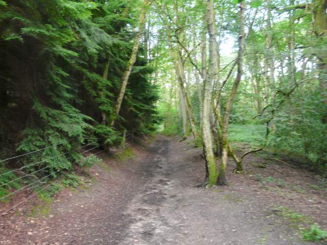
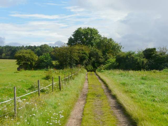
The path going south from the Stockgrove Country Park car park
The path going south from the Stockgrove Country Park car park
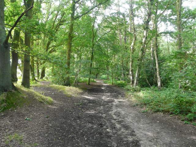
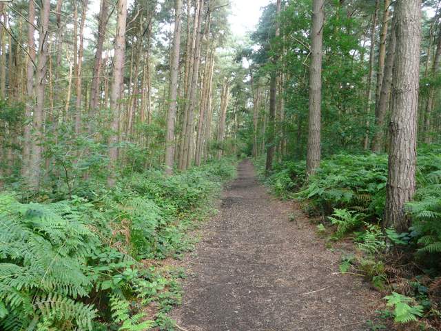
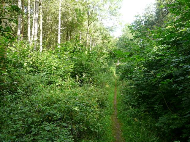
The footpath heading west through Stockgrove Country Park
The footpath heading west through Stockgrove Country Park
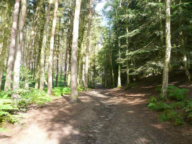
The footpath heading west through Stockgrove Country Park
The footpath heading west through Stockgrove Country Park
I turned right, and headed north along the edge of the woods, initially with fields close by on my left. Beyond a pond on my right I had trees on both sides of me again, and I was now in Oak Wood. After about half a mile through the wood, I emerged onto a track and then a lane leading into the village of Great Brickhill.
The path going north, along the western edge of Stockgrove Country Park (or Rushmere Park, it seems to use both names somewhat indiscriminitely)
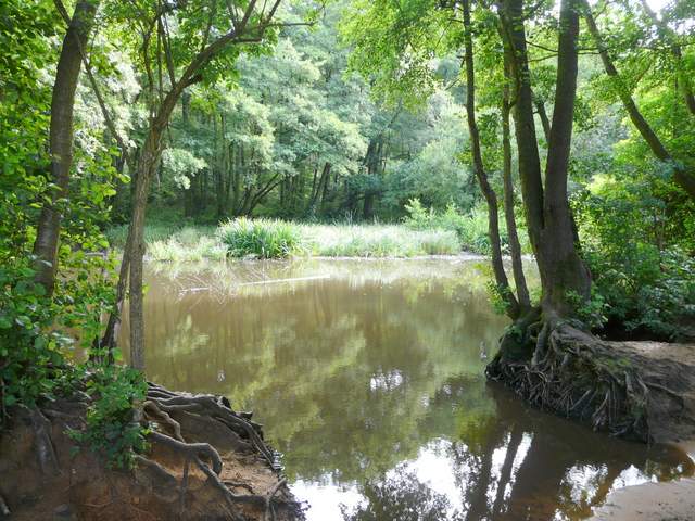
A pond by a corner of Oak Wood
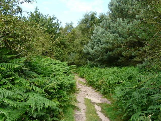
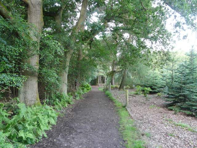
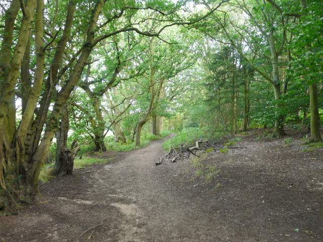
The path continuing through Oak Wood
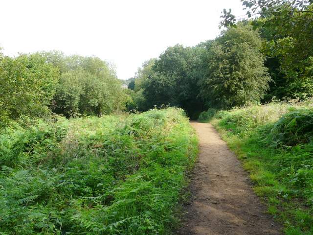
The path continuing through Oak Wood
I turned left at a T-junction, then turned right at another junction after a few yards, before forking right almost immediately into Pound Hill. After a quarter of a mile, almost on the edge of a village, I turned right onto the drive for Home Farm, continuing past the farm on a hedge-lined track that brought me to Duncombe Wood. A path led through the wood to a road (leading into Little Brickhill, to my left). I crossed the road and a few yards further on carefully crossed the A5 dual carriageway.
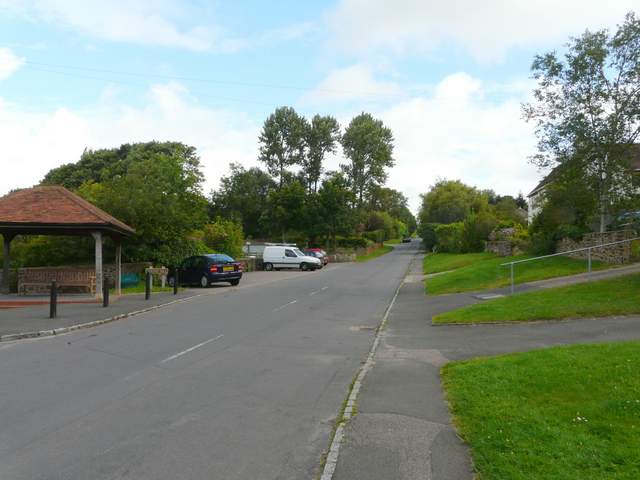
The road through Great Brickhill
The drive to Home Farm
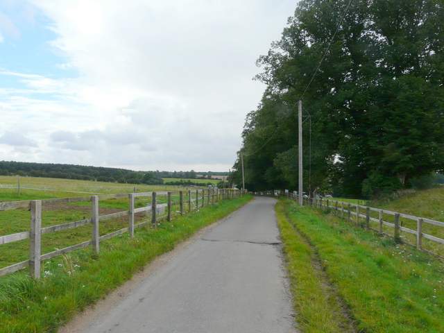
The track continuing northeast from Home Farm
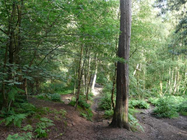
The path through Duncombe Wood

The path through Duncombe Wood