Pete's Walks - Watlington Hill and Park Corner (page 1 of 5)
If you are considering walking this route yourself, please see my disclaimer. You may also like to see these notes about the maps and GPX files.
Google map of the walk Download GPX file of the walk
UPDATE 30/10/2023: You now have to pay (£3 a day, I believe) at Watlington Hill car park, unless you are a National Trust member.
I did this 14.5 mile circular walk on Saturday, 11th August, 2012. It was the reverse of Walk 17 of my Chiltern Chain Walk, this time I was walking in the clockwise direction.
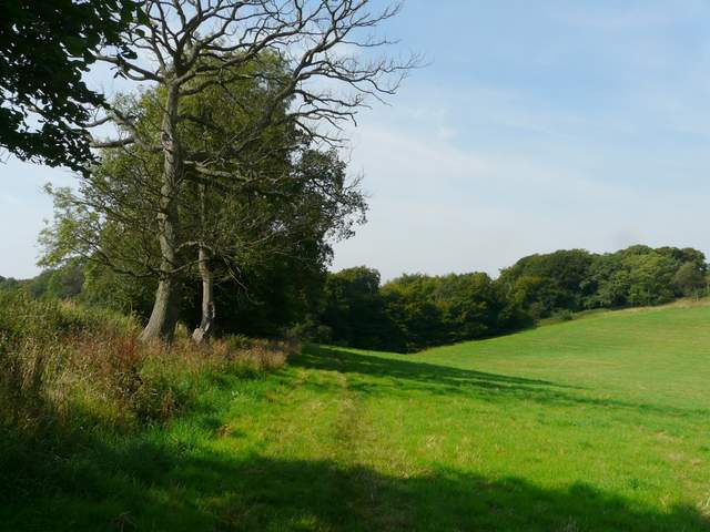
I managed to leave home a little earlier than usual, and started walking from the car park on Watlington Hill about 9.50am. I turned right out of the car park (Grid reference SU 709936), and followed the road for around a quarter of a mile to a T-junction, where I turned right into the village of Christmas Common. I continued past the Hare and Hounds pub on my right, and then a little further on turned left onto a footpath beside the former church. The path led through Queen Wood to reach Hollandridge Lane, where I turned right to follow the track as it left the village behind. Hollandridge Lane initially ran between woods, then continued for a good distance with tall hedges either side.
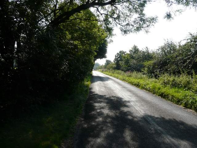
The road past Watlington Hill heading to Christmas Common
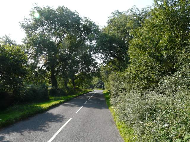
The road into Christmas Common
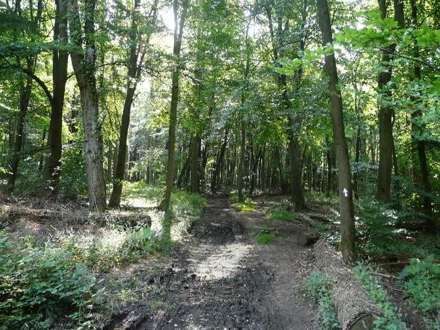
The footpath through Queen Wood
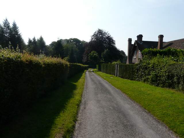
Hollandridge Lane, heading out of Christmas Common
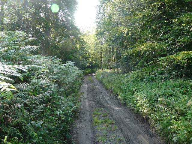
Hollandridge Lane
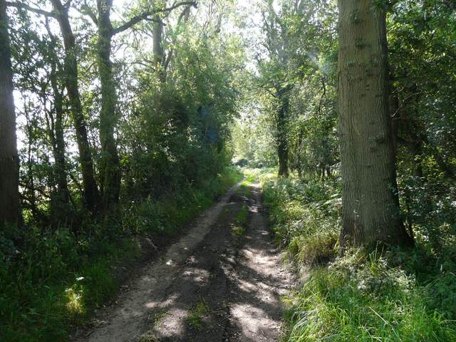
Hollandridge Lane
Hollandridge Lane
Hollandridge Lane, shortly before I left it
Just before the track reached Hollandridge Farm I turned right onto a path that ran close to the left edge of a meadow to reach College Wood. Just inside the wood I kept left at a fork (my path was part of the Oxfordshire Way, the other fork is part of the Chiltern Way). At first the path kept close to an edge of the wood on my left, but gradually moved further right and slowly descended the slope to my right at a fairly easy gradient.
The path from Hollandridge Lane to College Wood
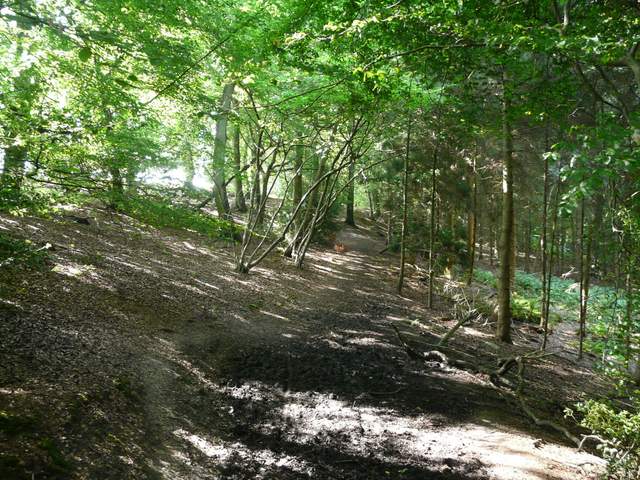
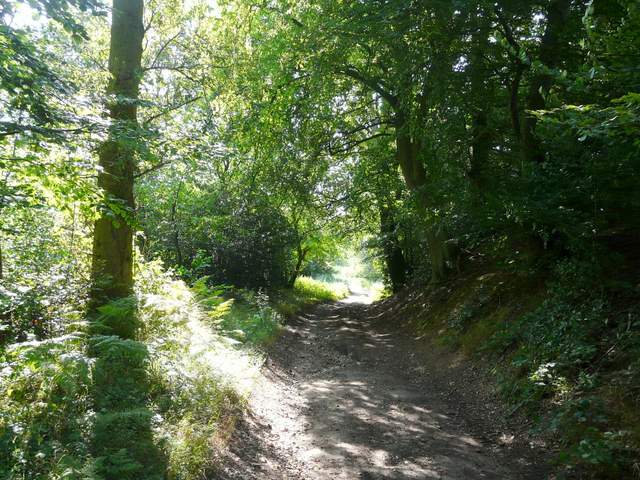
The path through College Wood
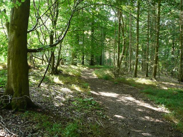
The path through College Wood
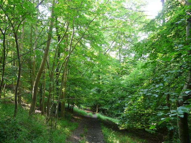
The path through College Wood
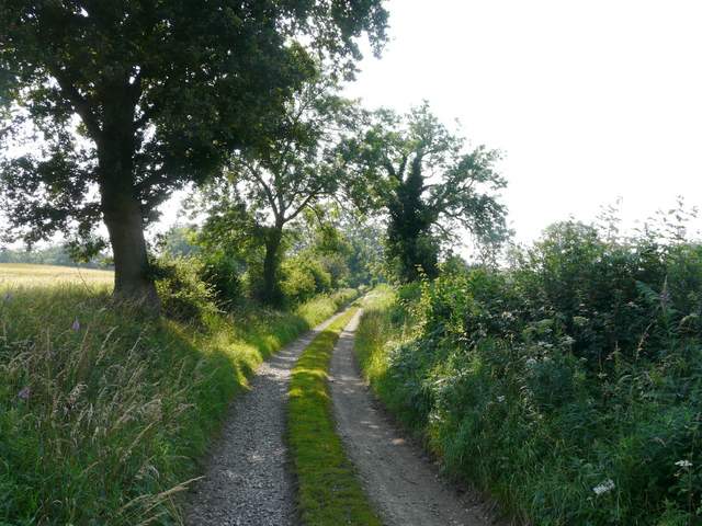
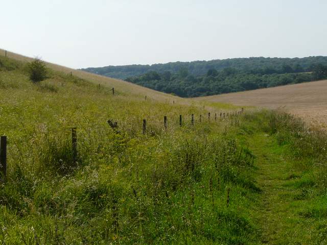
When the path left College Wood it followed a fence along the bottom of a valley for several hundred yards, with corn fields on the slopes either side. On reaching a road, I turned right for maybe a hundred yards, then turned left onto a lane or drive that would take me past Pishill church.
The village of Pishill takes its name from the Latin for pea, pisum, because of the great many pea farms that once existed in the area. The village lies in the Stonor valley. It contains a 15th century pub and an 11th century church perched on a hill above the valley.
The path from College Wood to Pishill
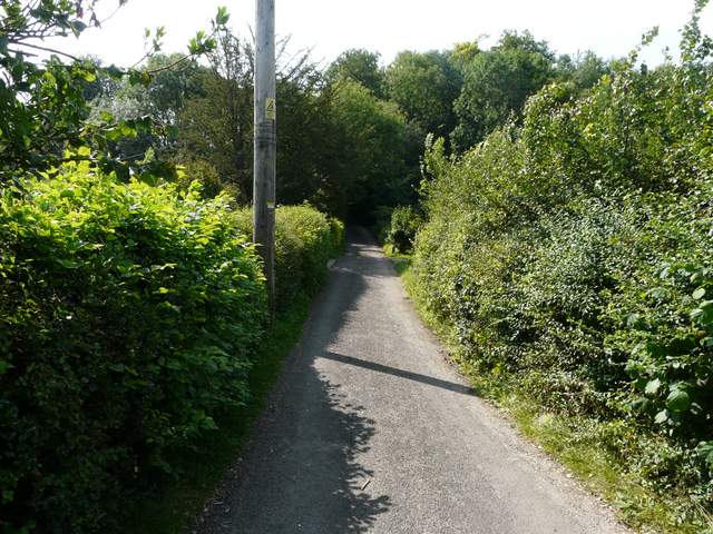
The start of the lane that passes Pishill Church