Pete's Walks - Kensworth and Ivinghoe (page 1 of 5)
If you are considering walking this route yourself, please see my disclaimer. You may also like to see these notes about the maps and GPX files.
I did this 18.9 mile circular walk on Sunday, 12th August, 2012. It was a slightly extended version of my usual Kensworth-Ivinghoe route - I set out to follow that route, but when I reached Studham I decided to extend the walk to Studham Common and so add about 1.5 miles to the distance (I've shown this as Alternative 1 on the Google map). The reason for this was that this was the last day of our 'Walking for Wellness' competition at work, and the team of three that I'm in are still in with a shout of winning the money (our nominated charity is the Huntington's Disease Association).
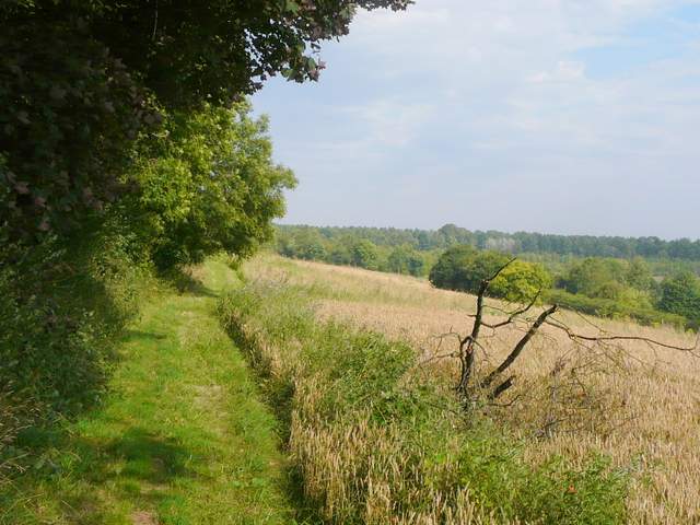
I left home at about 9.05am and walked up Common Road, Kensworth, almost as far as Old Green End Farm, before taking a footpath on the right. This initially ran between a barn and the fence of a small industrial estate on my right, before continuing along a track between hedges. On reaching a meadow, the path went half-right to the edge of the field, before following a hedgerow downhill and rejoining the track in the valley bottom. After passing a rusty barn on the left, I followed a path that went half left through another meadow, rising gently before levelling out and following the bottom of a steep grass slope called Codlings Bank. Through a kissing-gate I turned left on the path round Kensworth Quarry, following it through a wood and back across the valley. Soon it was running to the right of a hedge, rising gently up the side of the valley and slowly curving to the right.
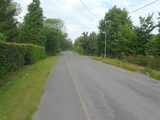
Common Road, Kensworth, just before I took a path on the right
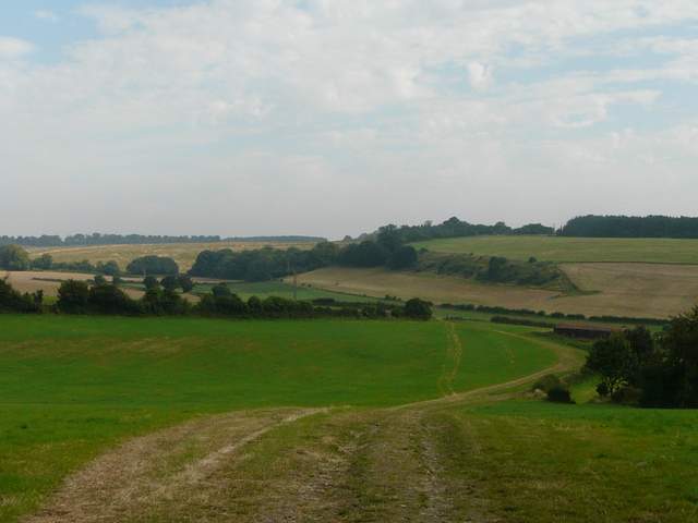
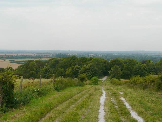
The valley north of Common Road, Kensworth - a disused area of Kensworth quarry is to the right
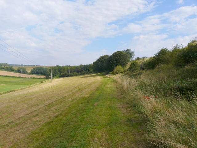
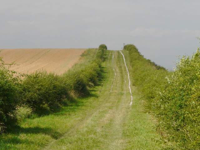
The footpath along the bottom of Codlings Bank
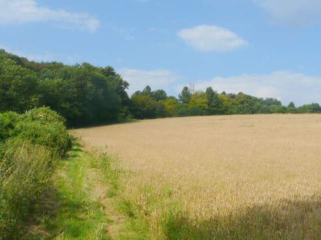
The path round Kensworth Quarry
The path levelled out and followed a tall hedge on my left, with the huge quarry over to my right. After a while the path turned left through a belt of trees, then turned right alongside the trees to reach the drive to the quarry. I followed the drive a few yards to the right, then a path continued up some steps on the other side of the drive. The quarry path continued as a wide track between bushes. After a few hundred yards I turned left by a yellow-topped post, walking a few yards between trees to another path junction. I turned left, and soon reached the road over Dunstable Downs opposite the car park where the old visitor centre used to be.
The path round Kensworth Quarry (the quarry buildings are behind the trees on the left)
The path round Kensworth Quarry, just after crossing the drive to the quarry
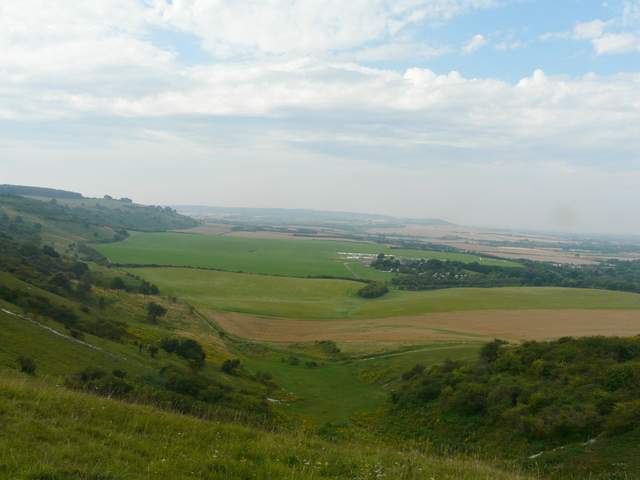
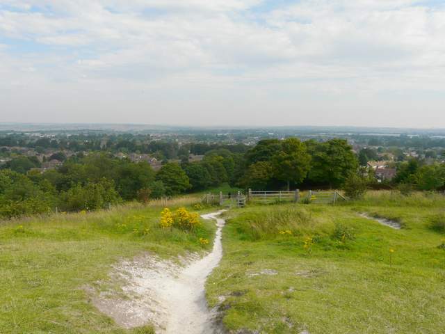
I crossed over and walked through the car park, before turning right and walking along the top of Dunstable Downs, admiring the far-reaching views over the Vale of Aylesbury and beyond. On top of 'Orange Hill' I spotted a Chalkhill Blue butterfly, the first I've seen here. I continued past the Five Knolls ancient burial mounds, then followed a wide strip of grass down to the start of Tring Road, Dunstable. Across the road I joined Green Lane, a wide grassy track with a surfaced bike path. There were tall hedges either side, hiding the residential areas behind them.
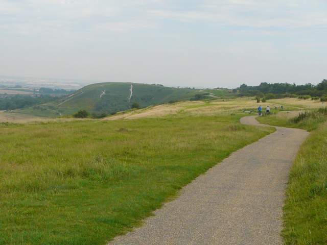
Dunstable Downs
Looking along the line of Dunstable Downs, Ivinghoe Beacon in the distance
The path from Dunstable Downs just before it drops down to Tring Road, Dunstable
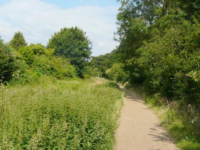
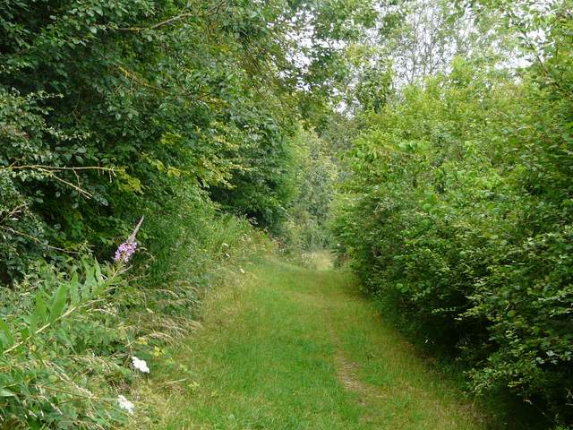
Green Lane, Dunstable
Green Lane, Dunstable
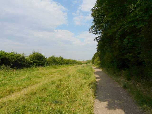
After leaving Dunstable behind, I came to a path junction where I often turn right for Sewell, but today I went straight on. At the next junction I turned left, but after a hundred yards or so turned right, on yet another hedge-lined track. This rose uphill, with the steep drop of a quarry face over the hedge on my right. The track dropped downhill again, passing close to the car park for the Totternhoe nature reserves before continuing on towards Totternhoe Knolls (the site of a Motte and Bailey castle).
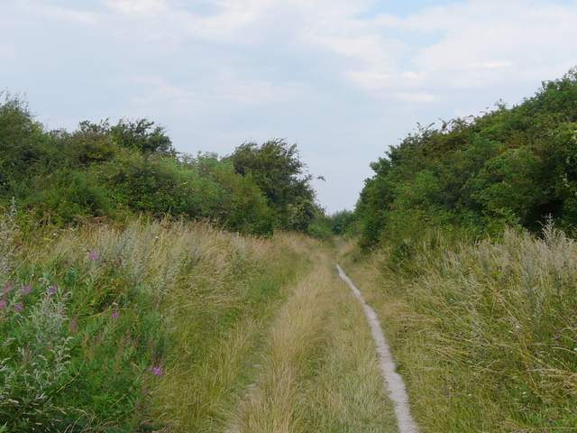
The bridleway continuing on towards Totternhoe
The bridleway to Totternhoe Knolls - there is a steep cliff, part of an old chalk quarry, over the hedge on the right
The bridleway to Totternhoe Knolls (the car park is just before the trees, on the left)
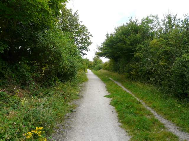
The bridleway to Totternhoe Knolls