Pete's Walks - Bledlow and Radnage (page 1 of 3)
If you are considering walking this route yourself, please see my disclaimer. You may also like to see these notes about the maps and GPX files.
I did this roughly 8 mile circular walk on Saturday, 3rd November 2012. It was a slight variation on the Bledlow and Radnage walk I did in October 2010 (I've marked the variation as Alternative 1 on the Google map, but I wouldn't recommend it over the original route). Curiously when I just looked at that walk description I saw that I did it because I could only manage an 8-milke walk while I was breaking in some new orthotics (insoles) - I did it this time because I'm breaking in a slight modification to my orthotics!
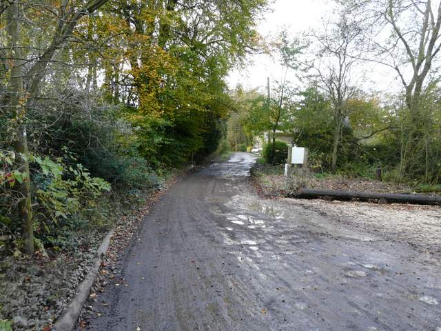
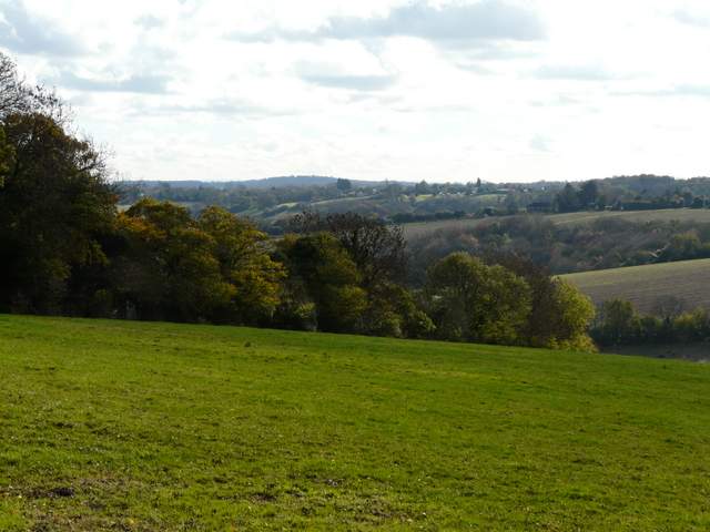
As I knew this was a short walk I was in no hurry to leave home, and so didn't start walking until about 10:45am. I parked by Bledlow church, and followed the road west to the Lions of Bledlow pub. I turned left along a track beside the pub (I could have cut a corner by taking a footpath here), then turned right along a bridleway after a couple of hundred yards - I could soon see the wooded slopes of Chinnor Hill ahead of me. After several hundred yards I reached the hamlet of Hampton Wainhill at the foot of Chinnor Hill, where I stayed on the same track as it weaved between the properties here.
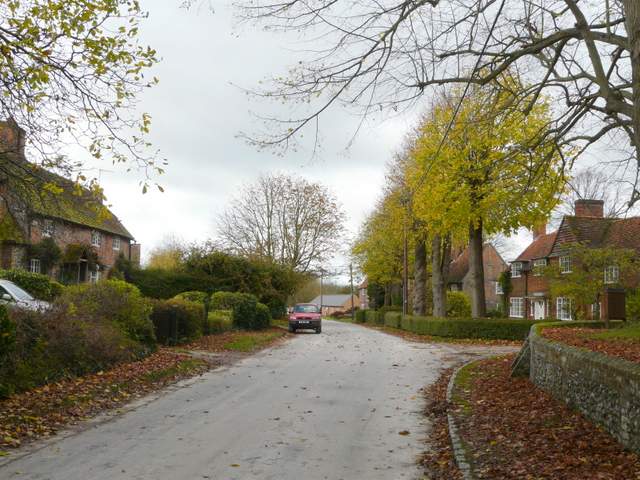
Bledlow (from outside the churchyard)
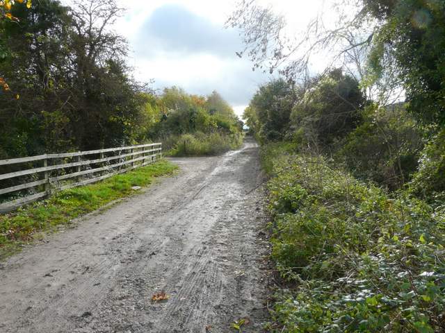
The track from the Lions Of Bledlow pub
The bridleway heading towards Chinnor Hill and Hampton Wainhill
Approaching Hampton Wainhill
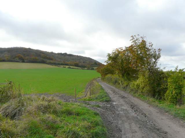
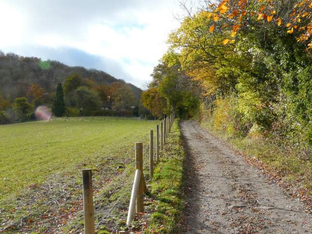
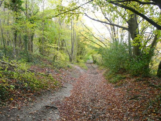
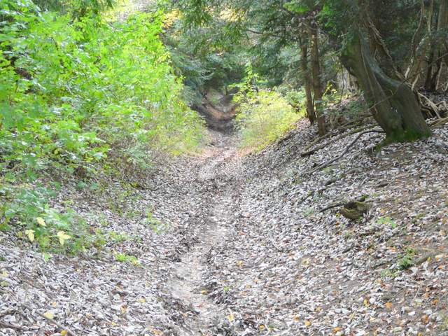
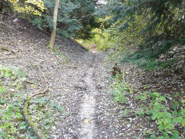
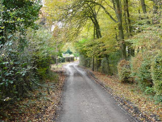
Last time I turned left on a bridleway immediately after Hampton Wainhill, but today I decided to try a variation, purely because I hadn't walked part of it before (I've marked it as Alternative 1 on the Google map). So I continued along the same bridleway, now part of The Ridgeway National Trail, as it followed the foot of Chinnor Hill. After maybe a third of mile I turned left on the next bridleway, which was new territory for me. This bridleway went steadily uphill in a worn groove in the hillside, soon passing through an extensive area of dark Yew trees. Towards the top of the slope these were replaced by more typical Beech trees, and then I reached a cottage from where a tarmac drive led on to the small car park at the top of Chinnor Hill, where I rejoined my original route. As I'd suspected, this bridleway was entirely enclosed by trees so there were no views to be had from it - the other bridleway I used last time is better, as it passes through an open area near the top of the hill with views out over the Vale of Aylesbury (it was quite grey this morning, so I knew the views wouldn't be great today anyway).
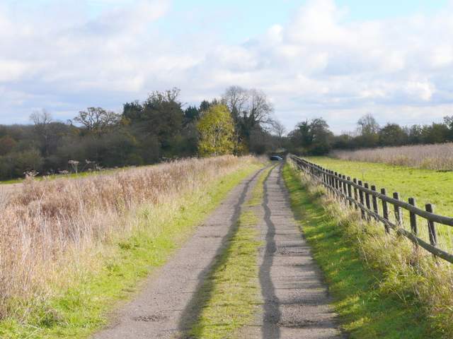
The Ridgeway, going southwest from Hampton Wainhill
The bridleway climbing Chinnor Hill
The bridleway climbing Chinnor Hill
The bridleway climbing Chinnor Hill
From the small car park on Chinnor Hill a lane led south, passing a few houses. After maybe half a mile it reached a minor road where I turned left for about three hundred yards, before taking a footpath on the left, starting near Woodlands Farm. This ran through a couple of small enclosures and than passed between some farm buildings, before running along a farm drive to return to the same minor road. I now turned right for a short distance to reach a bend in the road, where I took a footpath starting on the left.
Start of the lane, leaving the car park on Chinnor Hill
The lane on Chinnor Hill
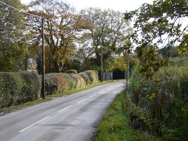
The first short road walk
The path from near Woodlands Farm
The path from near Woodlands Farm
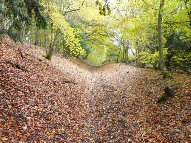
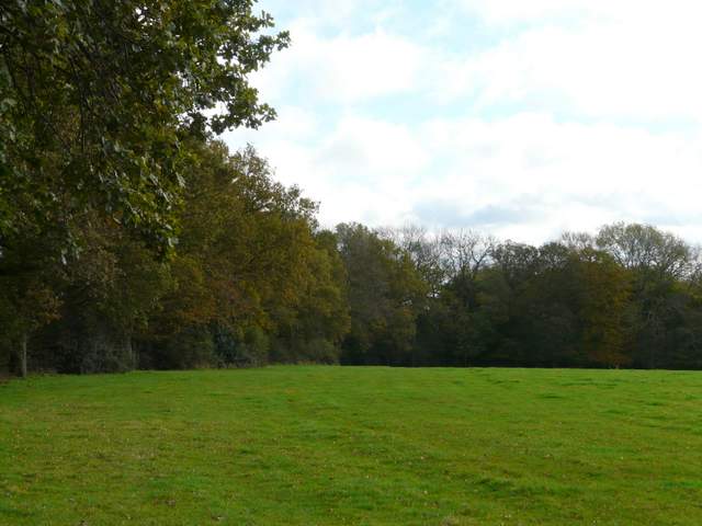
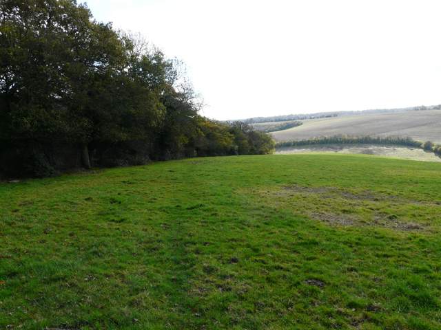
The path, heading southeast towards Radnage, initially followed the left edge of a large empty pasture, with pleasant views half-right towards parts of the parish of Radnage. After a while the path entered a small wood, staying close to its left edge, before entering another similar pasture (I thought it was actually the same one as before, but the map shows a boundary between them on the far side of the wood). This sloped downhill, the path following the hedge on the left, and became quite steep as I neared the hedge in the bottom of the valley.
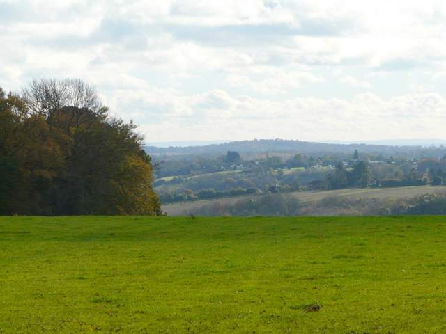
View from the start of the footpath going southeast to Radnage
The start of the footpath going southeast to Radnage
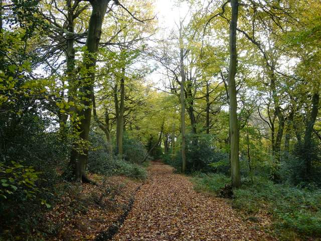
The footpath going southeast to Radnage, passing through the small wood
The path continuing beyond the wood
The footpath going southeast to Radnage