Pete's Walks- Old Amersham and Little Kingshill (page 3 of 4)
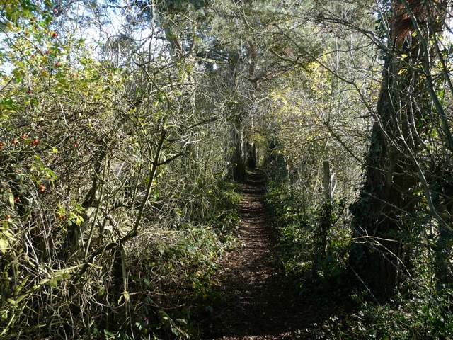
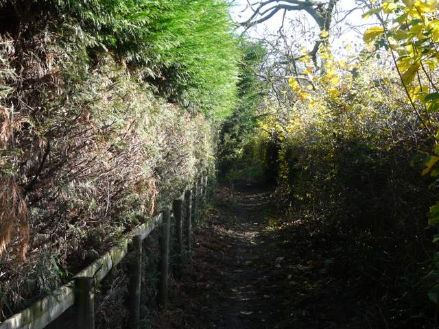
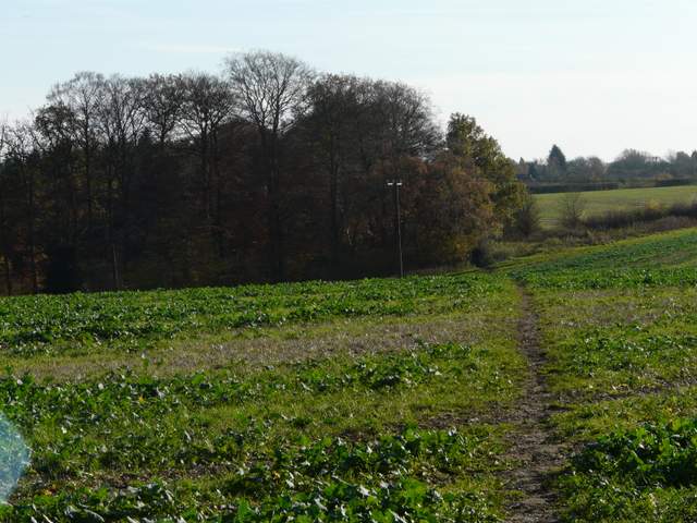
Again, the walk through this third village so far was about half a mile. Not long after passing a sports field and the Bat and Ball pub on my right, I turned right along a path through a fence-lined alley, passing to the right of some garages. At a path junction I turned left to reach a road, where I went right and very shortly turned left into a cul-de-sac. A footpath then led on between gardens and then back out into countryside, heading eastwards. It continued for some distance between fences and tall hedges, with paddocks or pastures either side. It then dropped downhill through a wood and started up the opposite slope. Beyond the wood, the path continued uphill through a meadow, soon joining a hedge on the left and following it to Beamond End Lane. A few yards to the left, a path started on the opposite side, running between tall hedges for two or three hundred yards to reach a hedge-lined track called Toby's Lane.
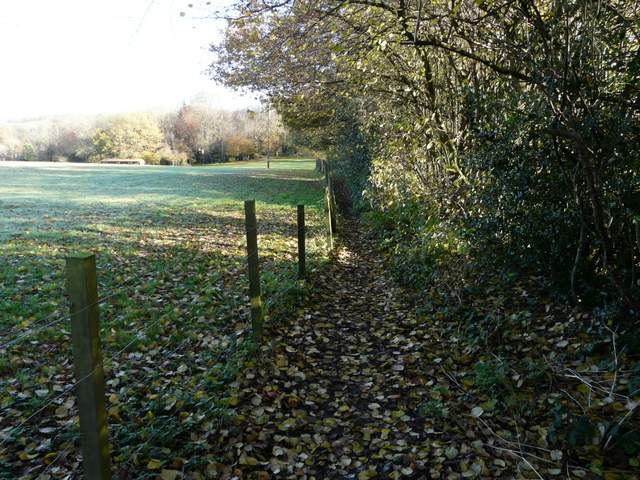
The path going east from Holmer Green
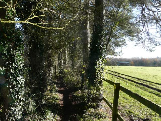
The path going east from Holmer Green
The path going east from Holmer Green
The path going east from Holmer Green
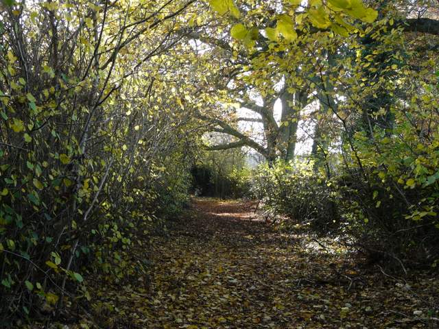
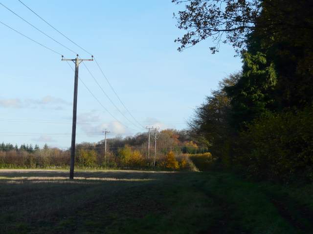
The path from Beamond End Lane to Toby's Lane
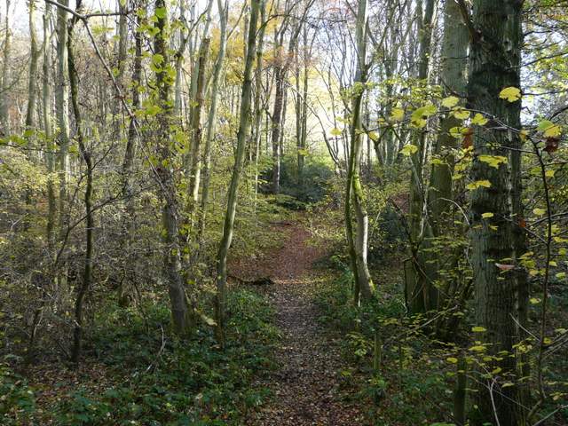
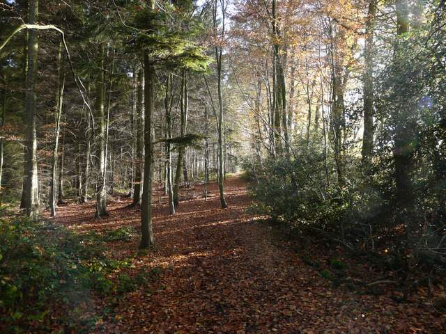
I turned right along Toby's Lane, then after another two or three hundred yards I turned right through a metal kissing-gate. The new path crossed a pasture, with a few cows some way away to my right, then ran between garden fences to reach the end of a short street in Beamond End. At the end of the street I turned left along Beamond End Lane (which I'd just crossed earlier), and at its end I went straight on for a few yards along a road before I crossed over the A404 and entered Penn Wood. Here I met up with another walker called David, and we would walk together for the next few miles (he was doing a circular walk from Chalfont St Giles, following the Misbourne valley to Little Missenden then taking Toby's Lane). We went straight on through the attractive wood, ignoring paths going left and half-left. As elsewhere the ground here was a little soft, to put it mildly, but it was still a pleasure to walk through the trees in their Autumn colours.
Toby's Lane
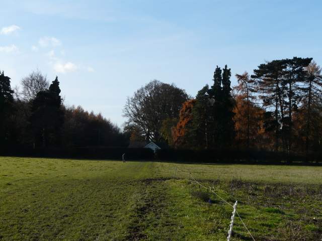
Path from Toby's Lane to Beamond End
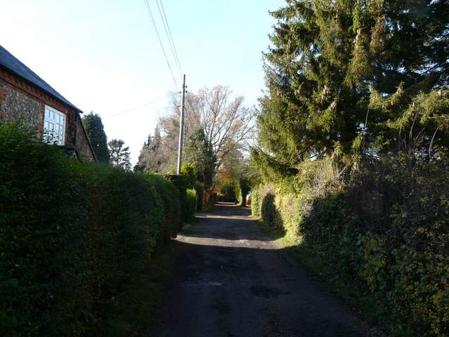
Beamond End
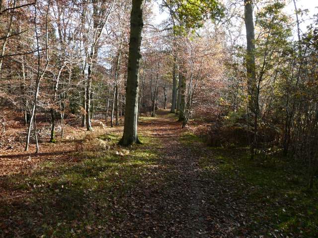
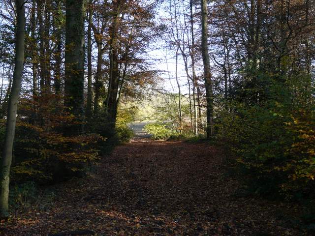
Penn Wood
Penn Wood is one of the largest areas of ancient woodland in the Chilterns AONB (Area of Outstanding Natural Beauty). From before the Norman Conquest until the middle of the nineteenth century it was a wood pasture common. In the 1850’s it was enclosed and converted to ‘high forest’. It became an SSSI (Site of Special Scientific Interest) in 1950, but in subsequent decades almost half the wood was felled and it lost this status in 1979. More felling took place in the 1990’s in preparation for a proposed golf course, but this was vigorously and successfully opposed by a group of locals. The wood is now managed by the Woodland Trust (this external link opens in a new window).
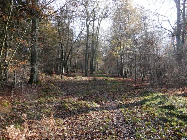
Penn Wood
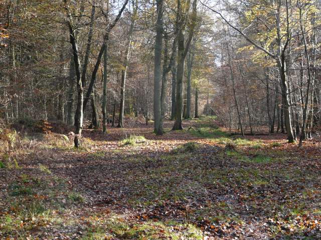
Penn Wood
At the far side of Penn Wood we reached the village of Penn Street, where we followed a road to the left and turned left at the next junction. Almost opposite the war memorial and a pond, we took a footpath along a gravel drive, which then continued across a cabbage field. The path continued through Priestland's Wood (I think) and Tragoe's Plantation, before crossing an empty pasture. It then ran between fences or hedges, with allotments on the right, to reach a road in the village of Winchmore Hill. We crossed over and headed over the grass to a bench where we both wanted to stop for lunch.
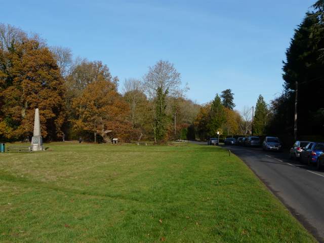
Penn Street
Penn Street is situated on part of the former Wycombe Heath, and probably dates back to the thirteenth century when the Penn family established a manor house here, having moved from Penbury. The oldest house dates to the fifteenth century, while several others go back to the seventeenth and eighteenth centuries, with most of the village lying within a Conservation Area. The church is relatively recent, having been built in 1849.
The footpath from Penn Street to Winchmore Hill, approaching Priestland's Wood
Tragoe's Plantation
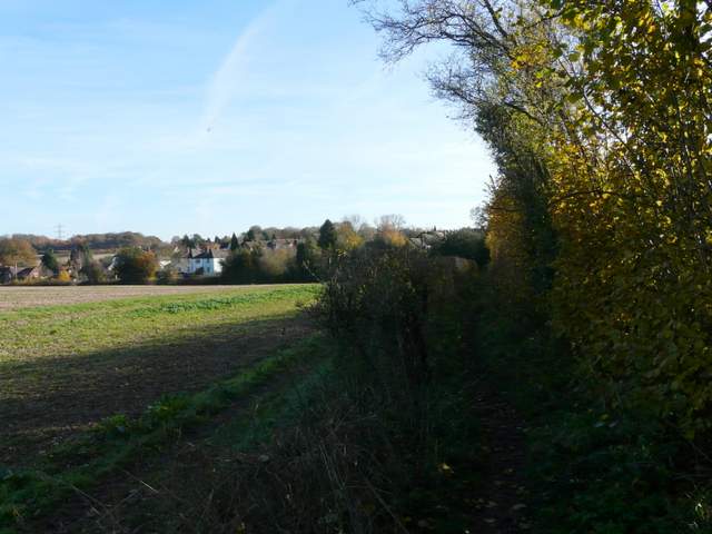
The footpath approaching Winchmore Hill
Winchmore Hill is a hamlet in the parish of Penn. It is often confused with another Winchmore Hill, not too far away in North London.
Lunch over, we followed the edge of a football pitch and then turned left at a road junction. Opposite a chapel a footpath went right, which after a short while followed a tall hedge on the right through a couple of stubble fields. It then passed through a narrow wood, either Coleshill Larches or West Wood.
The path from Winchmore Hill to Coleshill
The path from Winchmore Hill to Coleshill (this short bit of woodland walking is in either Coleshill Larches or West Wood)
Chiltern Chain Walk (2) main page