Pete's Walks- West Wycombe and Fingest (page 3 of 5)
When the lane turned right, a gate led into a large grassy field, where I followed the hedgerow round to the left. The path continued through a large pasture with sheep in it, then passed some small enclosures (where I tried to guide a couple of walkers on how to get back to Lane End). Further on the path was a farm track with Hanger Wood on my right. Beyond the wood, the track turned left to take me back to Fingest Lane. Here I turned right on a broad verge, though at one point it was so wet and muddy I had to follow the lane for a few yards. It was only a short distance anyway before I reached the village of Fingest.
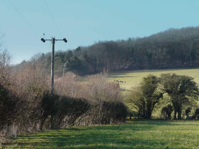
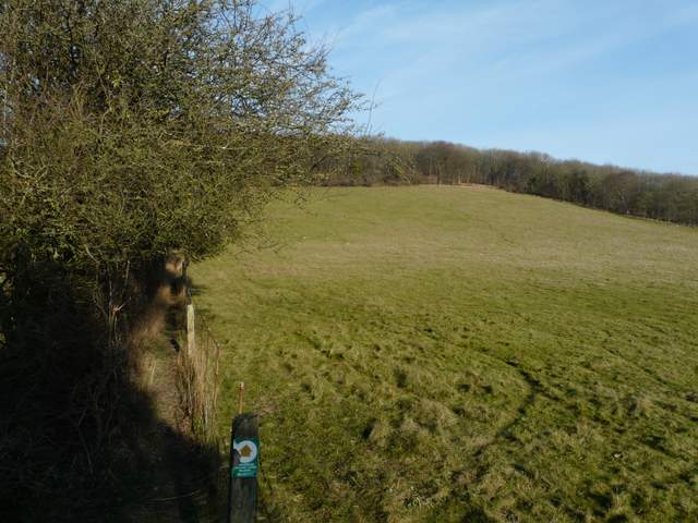
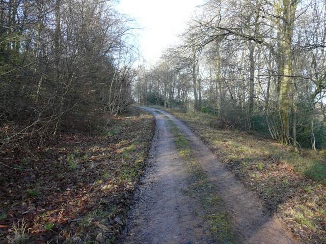
The path going west to Fingest
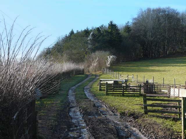
The path going west to Fingest
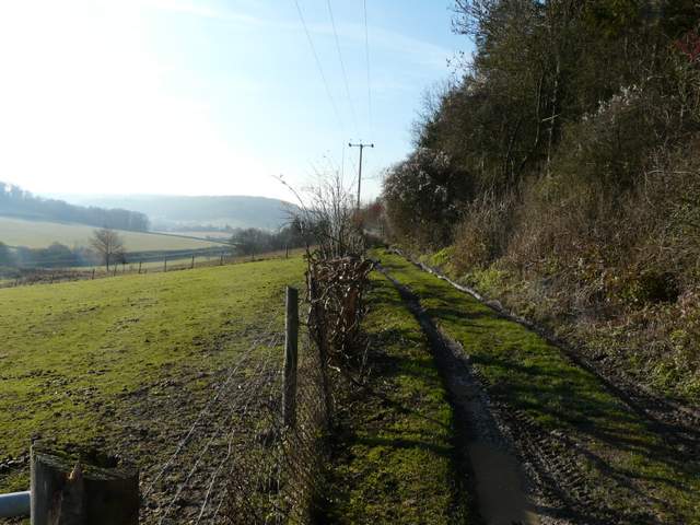
The path going west to Fingest
The path going west to Fingest
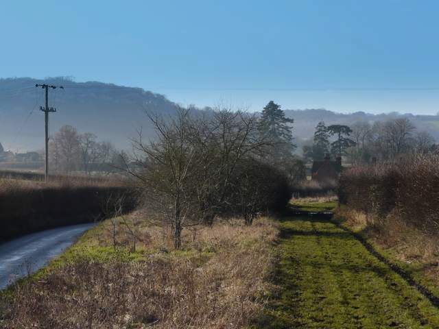
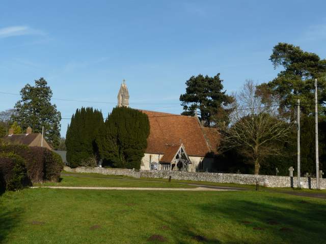
Approaching Fingest
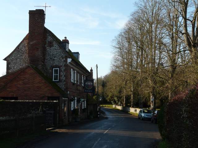
Fingest
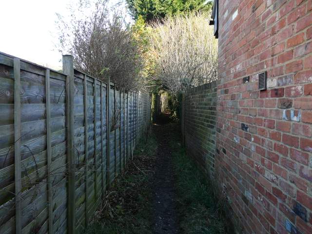
I turned right, by the village pub, so that I had the church with its enormous Norman tower to my left. After a hundred yards or so I took a footpath on the right, initially between garden boundaries and then between fences with paddocks either side (I had another close-up view of a Red Kite here). The path then continued steeply uphill, with a large sheep pasture beyond the wire fence on my left. The path carried on climbing through Hanger Wood, before levelling out. I carried on through the attractive wood, and on the far side I joined a bridleway that led on to the village of Cadmore End.
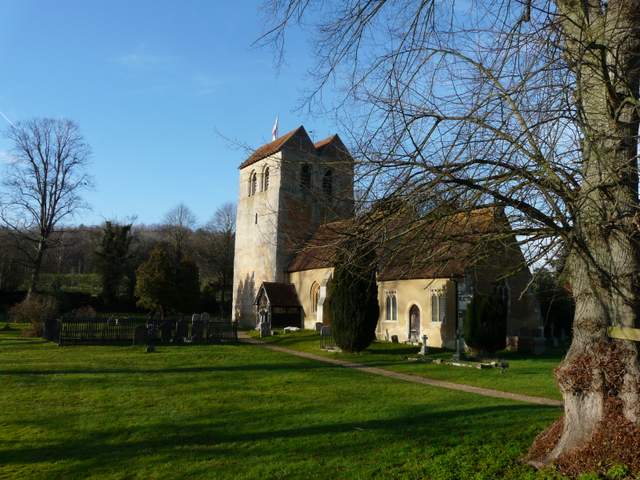
Fingest church (one of my favourites)
According to different sources, the name Fingest derives from the Anglo-Saxon ‘Thinghurst’ meaning ‘wooded hill where assemblies meet’, or it is from the Norse for ‘meeting place in a spinney’ – take your pick!. The church of St Bartholomew has a massive Norman tower surmounted by a double gable – there is thought to be only one other similar arrangement in the country. The tower is also unusual in being wider than the nave – these are the two oldest components of the church, the chancel being added in the 13th century. Inside the church there is a 15th century octagonal font.
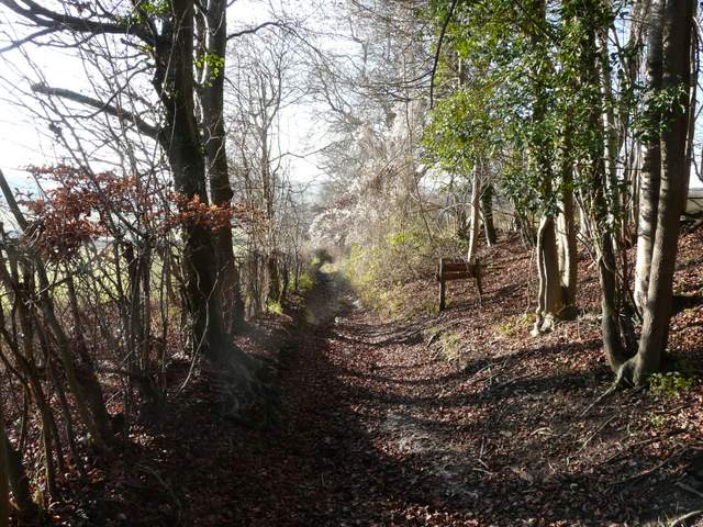
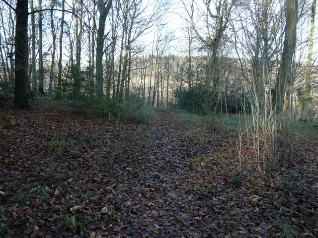
Start of the path from Fingest to Hanger Wood
The path from Fingest to Hanger Wood
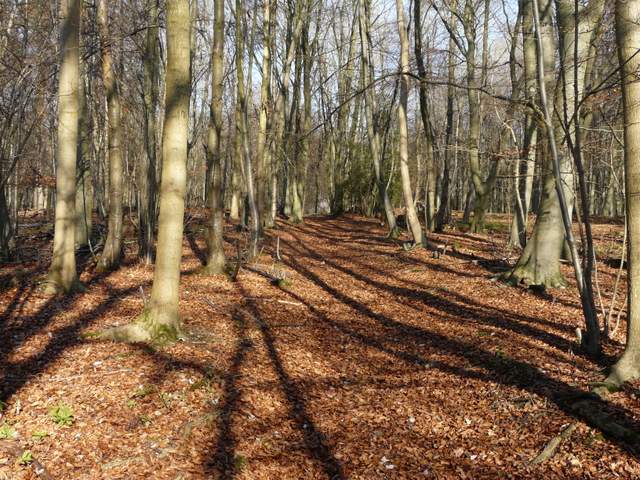
Hanger Wood
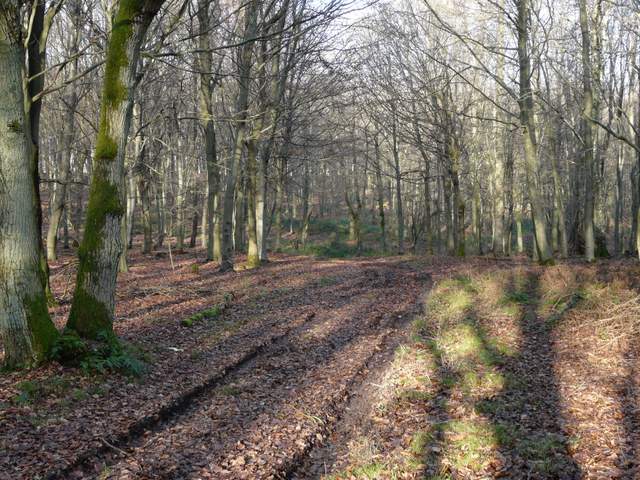
Hanger Wood
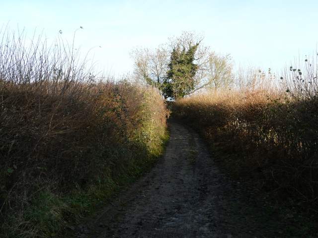
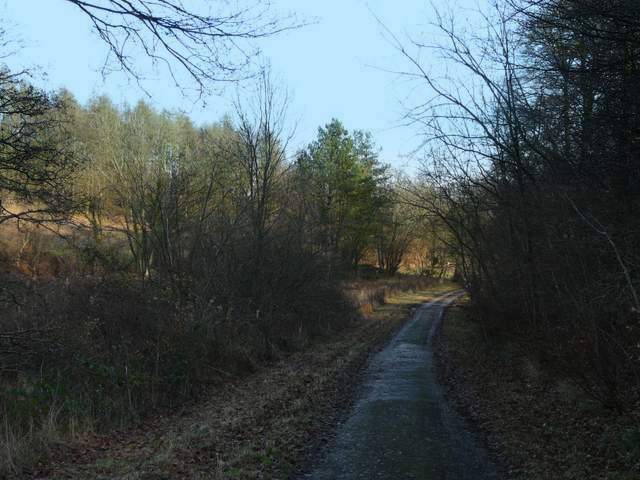
The bridleway between Hanger Wood and Cadmore End
Cadmore End church
I turned left past Cadmore End church, and soon stopped for lunch on a convenient bench on a green, across the road from the village school. I then continued by going right along the road, turning left onto a forestry track, starting from a car park just beyond the school, which almost immediately passed under the M40 motorway. A little further on I took a path on the right, through a short section of Pound Wood, only to rejoin the track further on (the path just cuts a corner). The track led on from Pound Wood to Leygrove's Wood.
The forestry track through Pound Wood
Footpath, Pound Wood
Back on the forestry track, Pound Wood