Pete's Walks- Cowleaze Wood and Ibstone (page 1 of 5)
If you are considering walking this route yourself, please see my disclaimer. You may also like to see these notes about the maps and GPX files.
Google map of the walkDownload GPX file of the walk
NOTE (6/11/2025): Parking at Cowleaze Wood is no longer free, there is now a cashless payment system. To see details, click here and then click on the 'Parking and prices' tab.
I did this roughly 11.9 mile circular walk on Saturday, 2 February 2013. It was Walk 16 of my Chiltern Chain Walk, but done in the opposite ((clockwise) direction.
It was about 9.55am when I started walking, taking the broad pathway through the trees facing the entrance to the Cowleaze Wood car park. This initial section was very wet and muddy, which didn't auger well but fortunately it turned out to be the worst conditions of the whole walk. It was soon over with anyway, a narrow footpath continuing eastwards through the wood. At first there were a lot of conifers, before more and more deciduous trees appeared. After about half a mile the path left Cowleaze Wood, and started to descend into the northern end of the Wormsley Valley. I passed through a field that seemed to be unharvested corn, then dropped more steeply through a large empty pasture or meadow, with good views of the valley in most directions - there were several Red Kites flying low over Lower Vicars Farm. I turned left along a drive for a few yards, then went through a tall gate on the right to pass the farm. Behind the farm, another tall gate gave access to a sloping pasture which I crossed half-left to reach Langleygreen Plantation.
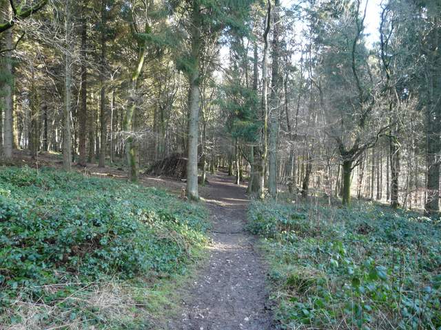
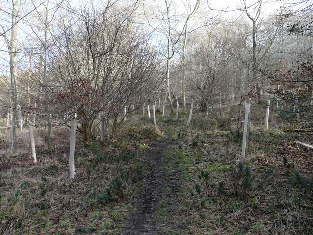
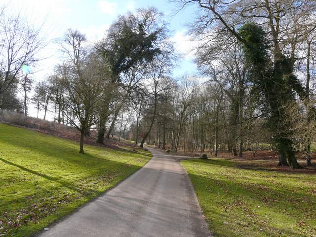
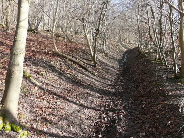
The path through Cowleaze Wood
The path through Cowleaze Wood
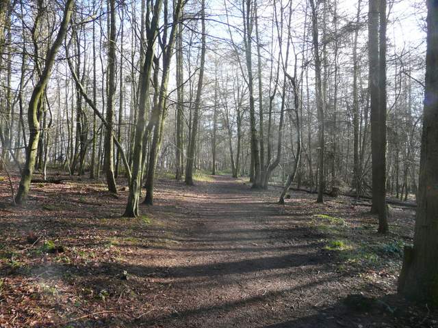
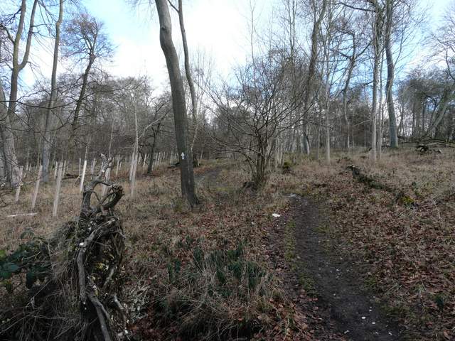
The path continuing from Cowleaze Wood down into the Wormsley Valley
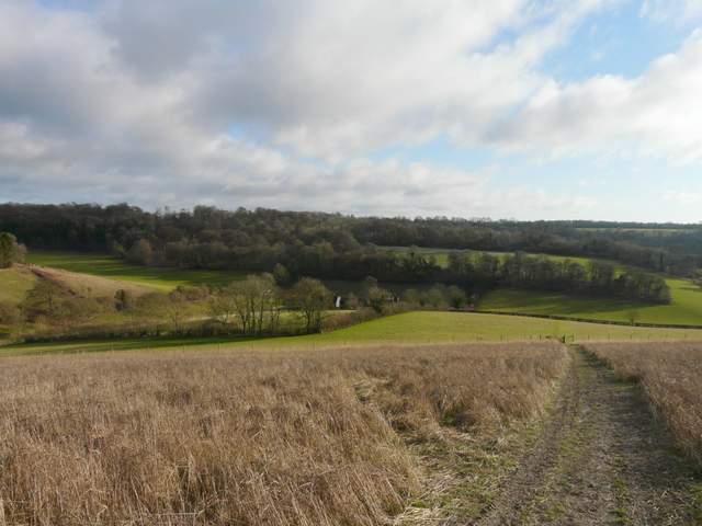
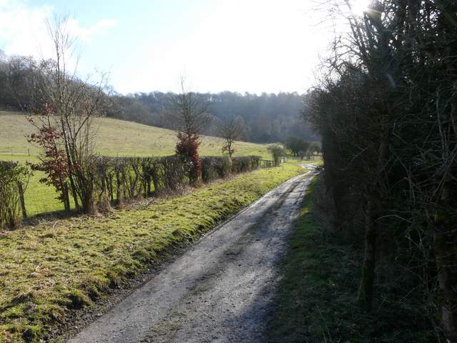
From the drive in the Wormsley Valley, looking over Lower Vicars Farm towards Langleygreen Plantation
The path rose fairly steeply up through the wood (more steeply than the photos show, my camera is lying as usual!). But it wasn't too long before I reached a path crossroads, where I turned right along a level bridleway continuing through Langleygreen Plantation. There were blue pipes either side of the bridleway, I've no idea what they are for but I vaguely remember seeing them here once before. After a while the bridleway started to descend gradually, and eventually reached another drive through the Wormsley Valley.
The path uphill through Langleygreen Plantation
The path uphill through Langleygreen Plantation
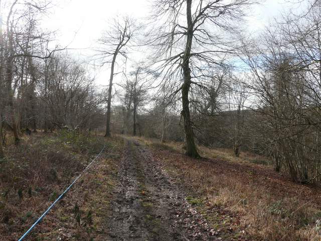
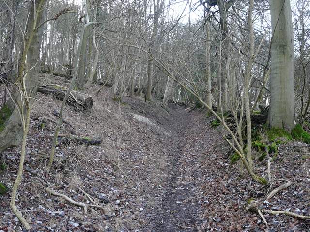
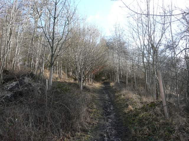
The bridleway going south through Langleygreen Plantation
The bridleway going south through Langleygreen Plantation
I followed the drive right, soon passing Wellground Farm on my right. A little further on, through the trees on the right I could glimpse the grand house of Wormsley Park, and I spotted a few deer in the surrounding deer park. When the drive turned sharply right towards the house, the bridleway went straight on along a farm track, progressing southwards through the valley. After a few hundred yards I kept left at a bridleway fork, soon entering Commonhill Wood and starting to climb steadily uphill. The bridleway curved left and steepened, soon running through a narrow groove or gulley - this was quite muddy at first but soon I was walking on firm chalk. As I passed through a small clearing near the top of the slope I heard birds overhead, and looked up to see two Red Kites and two Buzzards.
The main drive through the Wormsley Valley, near Wellground Farm
The bridleway continuing from the drive, heading towards Commonhill Wood
The bridleway starting to rise up through Commonhill Wood
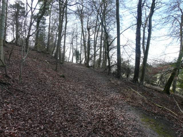
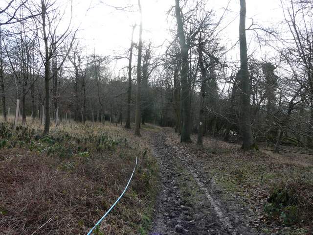
The bridleway heading up through Commonhill Wood
The bridleway heading up through Commonhill Wood
The bridleway heading up through Commonhill Wood