Pete's Walks- Pulpit Hill and Ninn Wood (page 1 of 2)
If you are considering walking this route yourself, please see my disclaimer. You may also like to see these notes about the maps and GPX files.
I did this roughly 3.2 mile circular walk on Saturday, 6th July 2013. I'm still recovering from Glandular Fever so this was another short walk, but I managed to include one new path that I'd not walked before. I did it really as a nature walk, planning the route so I could visit four sites where I'd been told there might be interesting Orchids. Consequently it took me just over two hours because I spent so much time looking for wildflowers.
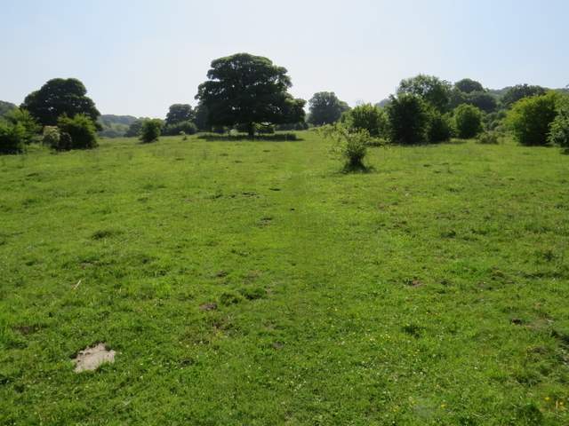
I parked in the layby at Great Kimble and started walking about 9.45am. I headed up the bridleway that starts at the end of the layby, which is initially surfaced but soon becomes a rough track between hedges. After a few hundred yards, I took a footpath going half-left (which was a new path for me). This continued gently uphill through a large irregular pasture, dotted with bushes and occasional trees. There were a large number of Orchids here already, mainly Fragrant and Common Spotted but also one or two Pyramidal Orchids. The path passed to the left of the small hillock of Chequers Knap, a fine viewpoint though today I just took a photograph looking back over the Vale of Aylesbury from the footpath.
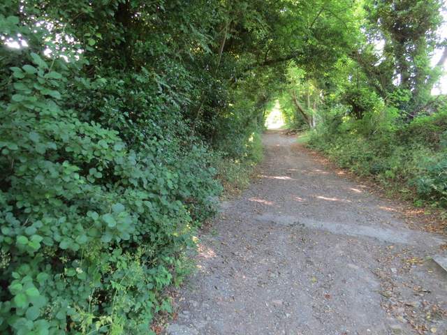
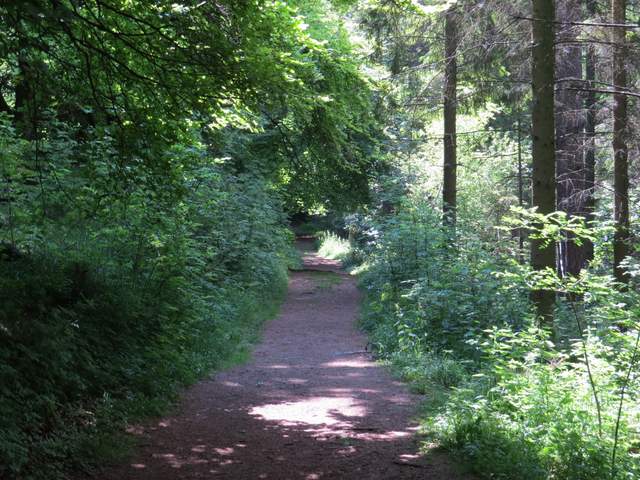
The bridleway going southeast from Great Kimble
The bridleway going southeast from Great Kimble
The start of the path to Chequers Knap
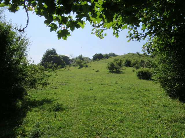
The footpath approaching Chequers Knap (the hillock on the right)
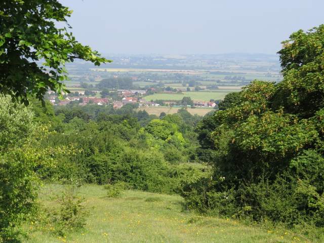
Looking back to the Vale of Aylesbury, from near Chequers Knap
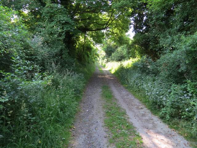
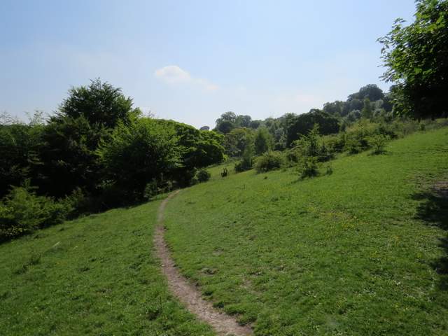
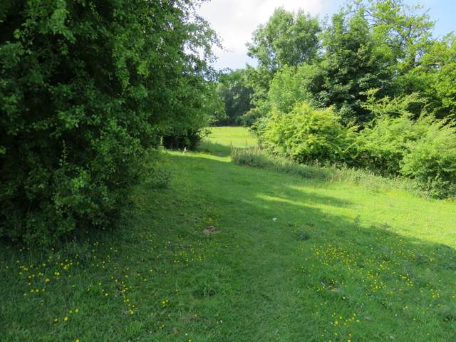
Just beyond Chequers Knap the path reached the Ridgeway national trail where I turned left. On my Google map I've shown the route as following the Ridgeway, but actually I wandered around here for a while looking for wildflowers. But I rejoined the Ridgeway just before it came to a metal kissing-gate and a fence. Here I didn't go through the gate, but took a footpath going right, soon leaving the fence and rising gently uphill between bushes. The path then entered Maple Wood, where I soon reached the bridleway that I'd started out on.
The footpath continuing round the side of Chequers Knap
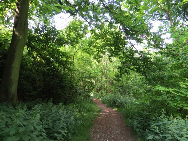
The footpath from the Ridgeway to Pulpit Hill
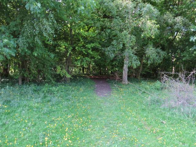
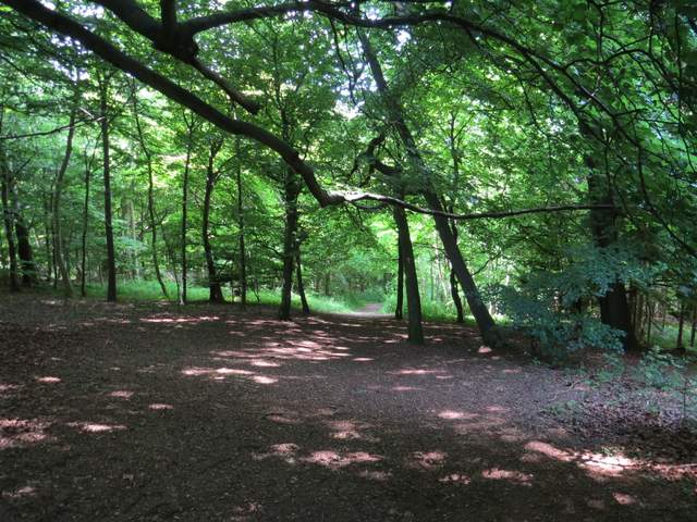
The footpath entering Maple Wood
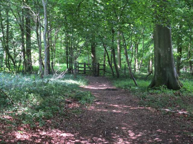
The path in Maple Wood (the gate is where it crosses the bridleway I'd been on earlier)
Across the bridleway a path continued (not shown on the OS map), leading on through the trees to reach the faint earthworks of the Iron Age hill fort that surmounts Pulpit Hill. I turned left to stroll through the middle of the hill fort, then turned right a few yards beyond its far boundary ditch. I soon came to a clear path or track, where I turned left. After maybe a quarter of a mile I came to crossing path, where I turned right and headed steadily down hill to reach a car park.
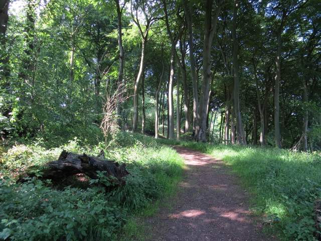
The path continuing to the top of Pulpit Hill (this path is not shown on the OS map)
This shot was taken inside the Iron Age hill fort on Pulpit Hill
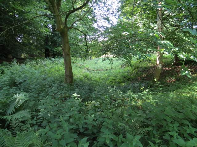
Not very clear, but this shows part of the ditch around the fort
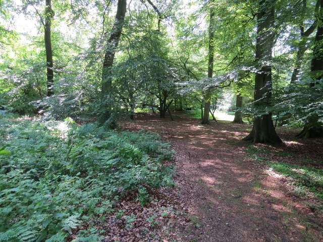
Again this clear path just below the fort is not shown on the map
This is near the start of the path going south down Pulpit Hill to the car park near Longdown Farm
The path down to the car park