Pete's Walks- Pitstone Hill and Grand Union Canal (page 2 of 3)
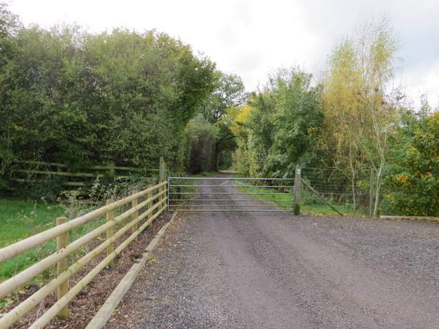
I turned left and followed a street through the village for a couple of hundred yards, before turning left on a path (the footpath sign was attached to the side of a house) that soon took me through the village allotments. Through a tall gate on the far side I turned right, and followed a narrow path to reach another street. I turned left, uphill, and soon came to a grassy area where two paths started - I took the one going half-right, which lead uphill through trees to a hairpin bend on a road coming up from Aldbury. A short dead-end lane led from the hairpin bend into the small hamlet of Tom's Hill. A footpath continued on from the end of the lane, first through a gate and along a surfaced track and then descending through a wood.
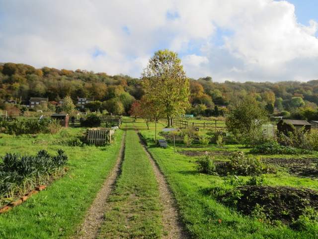
The path through the allotments at Aldbury
The path from Aldbury up towards Tom's Hill
The lane to Tom's Hill
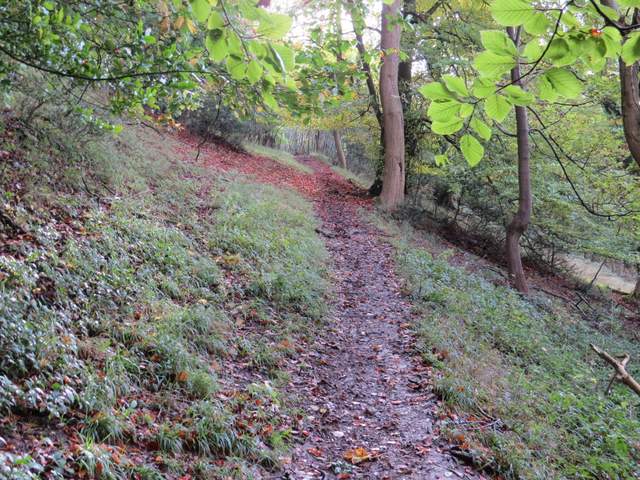
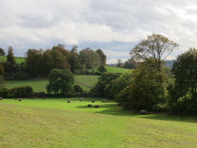
The start of the path continuing from Tom's Hill

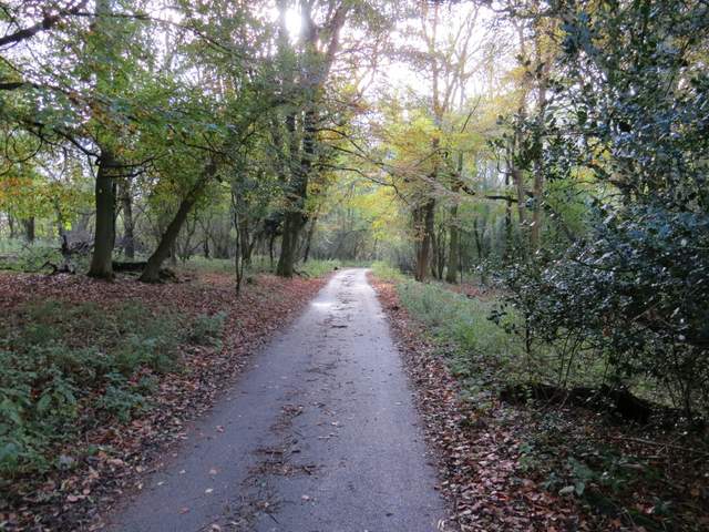
The path descending from Tom's Hill
When the path emerged from the wood, I turned left in a pasture to reach a metal gate in the corner. The path continued half-right, descending across a sloping meadow to a gate or stile in the hedgerow on the right. The path then turned left along the other side of the hedgerow, to reach a stile in a field corner. Over this, the path again went half-right over a meadow to reach Norcott Court Farm.
The path to Norcott Court Farm
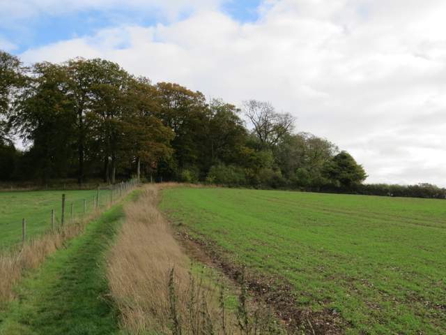
The path to Norcott Court Farm
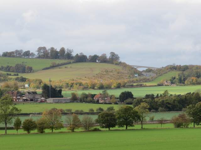
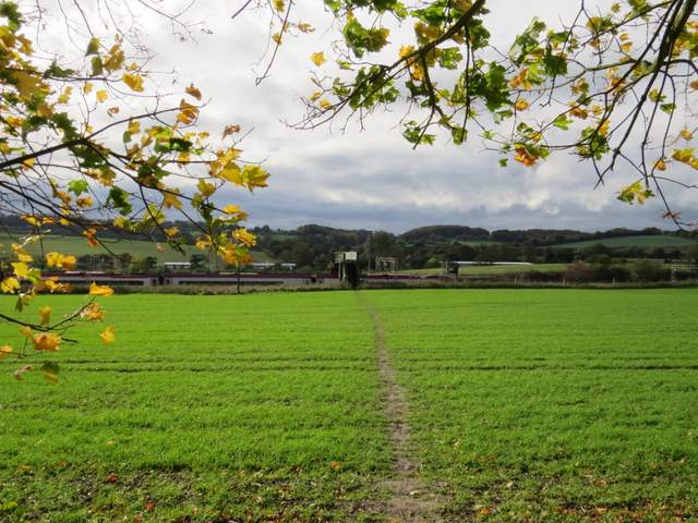
View from just before Norcott Court Farm (the bridge is a footbridge carrying the Ridgeway National Trail across the A41)
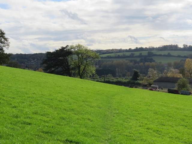
Approaching Norcott Court Farm
I went over a stile and then turned left through the farm gate, turning right onto another track after a few yards. After a couple of hundred yards or so I turned right at a fingerpost. After maybe another couple of hundred yards the path turned left to cross a field to a footbridge over a railway line. The path then continued over another field to reach a lane, where I turned right and soon came to the Grand Union Canal at Cow Roast.
The path to the railway line, near Cow Roast
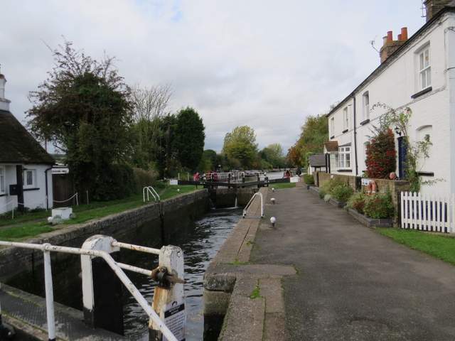
Lock on the Grand Union Canal at Cow Roast
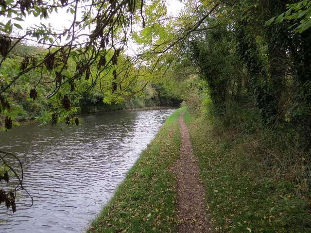
I turned right along the towpath (thus leaving the route of Walk 4 of my Chiltern Chain Walk), with the canal on my left, and soon stopped on a bench by the entrance to the marina here to eat my lunch (it was now a few minutes before 1pm). Shortly after I set off again there was a brief and fairly light shower, and I would now have showers on and off throughout the rest of the walk (I'd originally intended do a walk further west in the Chilterns today, but changed my mind as the weather forecast indicated that the likelihood of rain or showers would have increased the further west I went). As always it was easy walking along the canal towpath, and it seemed to have been some years since I'd walked this particular section of the towpath.
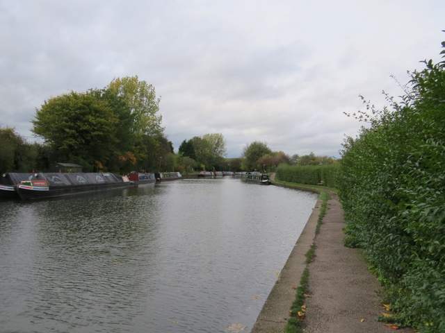
Grand Union Canal, near the marina at Cow Roast
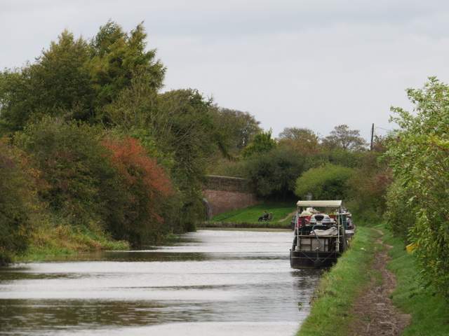
Grand Union Canal
Grand Union Canal