Pete's Walks- Hudnall and Potten End (page 1 of 3)
If you are considering walking this route yourself, please see my disclaimer. You may also like to see these notes about the maps and GPX files.
I did this roughly 6.3 mile circular walk on Saturday, 28th December 2013. It was a route I've done several times now, with a few variations.
I started walking shortly after 10.30am, from the small car park at Hudnall Common. It was pretty frosty along the edge of the common that was in the shade, and my feet slipped on the surfaced lane once or twice so I then stuck to the grass verge initially. I followed St Margaret's Lane south-eastwards, away from Hudnall and towards Great Gaddesden. The lane became an unsurfaced public byway, and a little later I passed a cottage with the intriguing name 'Covetous Corner'. The byway was quite muddy for a while, with some big puddles, before becoming surfaced again as I drew near St Margaret's Farm. A little after the farm I passed the Buddhist Monastery at St Margaret's.
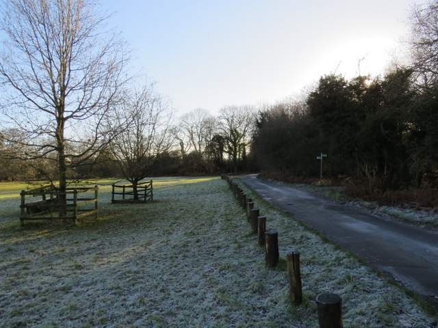
The start of the walk at a frosty Hudnall Common
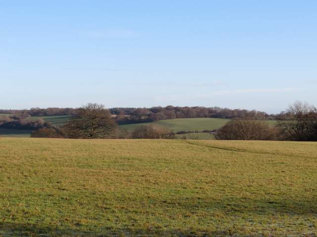
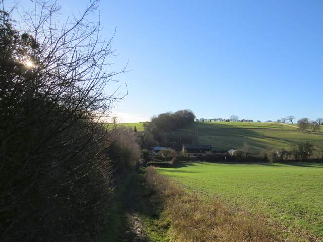
View from Hudnall Common. over what becomes the Gade valley
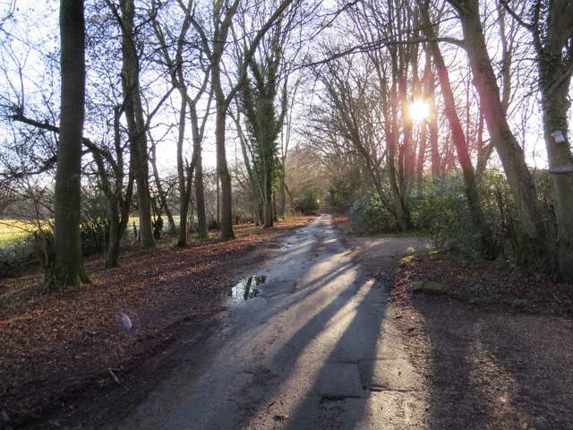
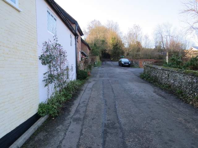
St Margaret's Lane
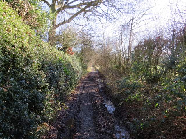
St Margaret's Lane
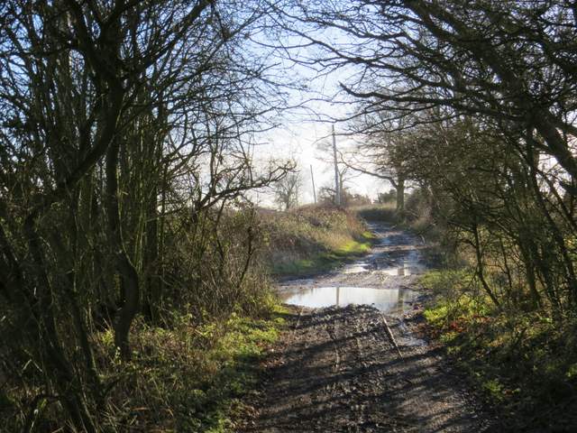
St Margaret's Lane
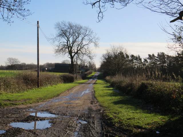
St Margaret's Lane
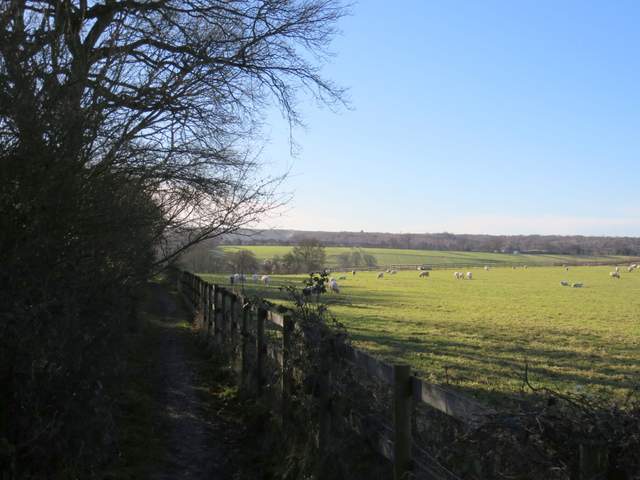
Almost immediately after the monastery I turned right onto a footpath, which went down the drive of a house and continued with the grounds of the monastery on the right. The path continued between a hedge and a fence on the right, with green pastures or meadows beyond. Soon the path was descending into a valley, where I reached the village of Nettleden. Here I went a few yards left along a road, then turned right.
The path beside the Buddhist monastery
The path descending towards Nettleden
The path descending towards Nettleden
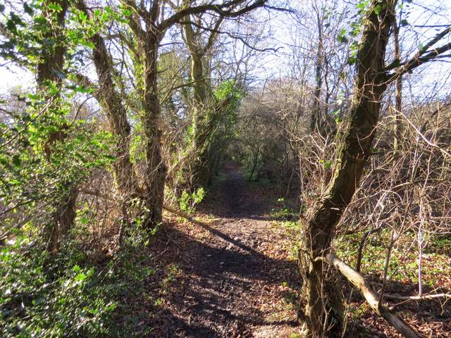
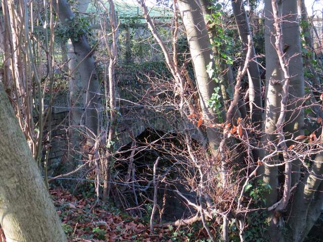
I was now on Roman Road, or Roman Road (also apparently known as Spooky Lane). As it left the village, I chose to take the footpath that runs just to the left of the lane, rather than follow the lane through its steep cutting and under Devils Bridge (this path was the only bit of today's route that was new to me). The path ran between bushes and trees with the steep drop into the cutting a few feet to my right.
The start of Roman Road, Nettleden
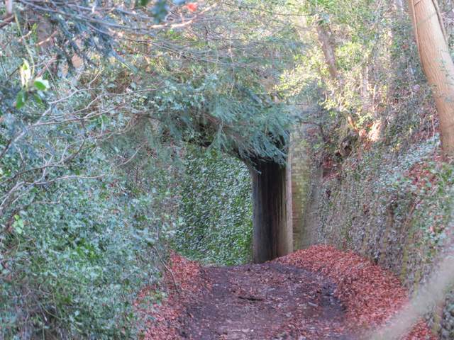
Close up shot of Devil's Bridge, Roman Lane - instead of following the lane under the bridge, today I took the footpath along the top of the embankment on the left

The footpath to the left of Roman Road
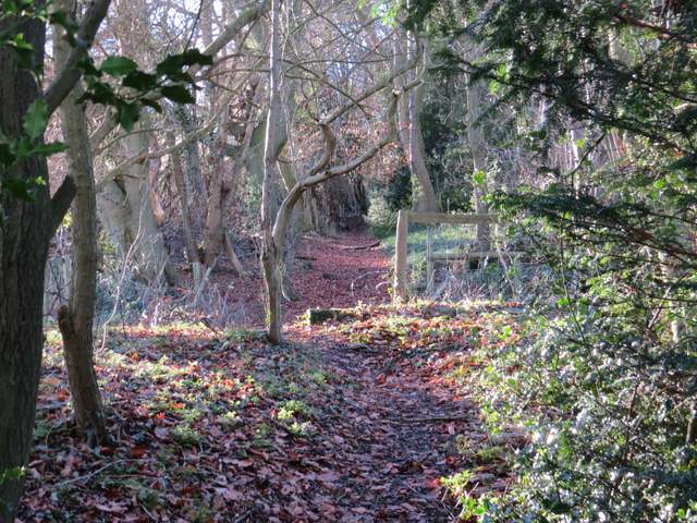
The footpath to the left of Roman Road
Devil's Bridge from the footpath to the left of Roman Road