Pete's Walks- Coombe Hill and Ninn Wood (page 1 of 3)
If you are considering walking this route yourself, please see my disclaimer. You may also like to see these notes about the maps and GPX files.
Google map of the walkDownload GPX file of the walk
I did this roughly 7.5 mile circular walk on Saturday, 11th January 2014. This was a new route for me, though there was only one path (in Ninn Wood) that I hadn't walked previously.
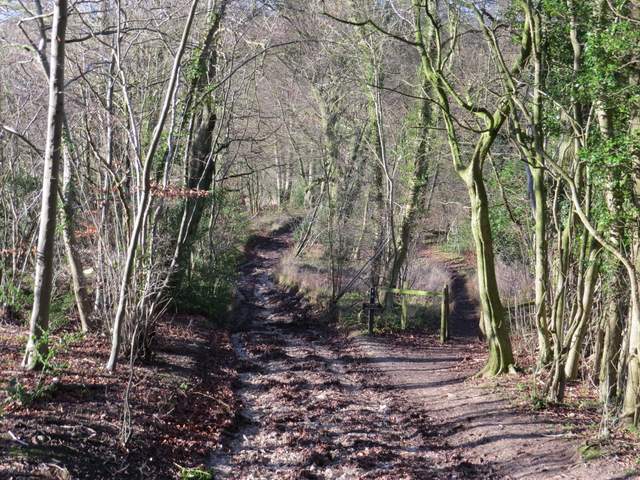
I started walking about 11.15am, from the car park at Coombe Hill (which was almost full). I went through the gate by the entrance to the car park and took the leftmost of three paths, which stayed close to a fence on the left. After a few hundred yards I turned left through a metal kissing-gate, joining the Ridgeway National Trail - I would now be following its white acorn signs as far as the hamlet of Lower Cadsden. A path took me through a beech wood on Lodge Hill to a road (the one to the car park), where I turned right for a couple of hundred yards. The Ridgeway then continued along a path on the other side of the road, leading through Linton's Wood and Goodmerhill Wood. After about half a mile the path turned right along a track that dropped downhill (near the bottom of the hill a parallel permissive path started on the right, which soon rejoined the track).
The start of the walk from the car park at Coombe Hill
The Ridgeway on Lodge Hill
The Ridgeway in Goodmerhill Wood
The Ridgeway in Goodmerhill Wood, starting to descend towards Chequers
The Ridgeway descending towards Chequers - this is where the permissive path starts on the right
Across a road, the Ridgeway continued across the grounds of Chequers (the Prime Minister's country house). It crossed the drive to the big house, and continued beside a fence to reach Maple Wood. Here it turned right on a track that followed the edge of the wood - I took the usual photo of Chequers with Coombe Hill behind it.
Crossing the grounds of Chequers, heading towards the drive
The path continuing across the drive, heading to Maple Wood
The path beside Maple Wood
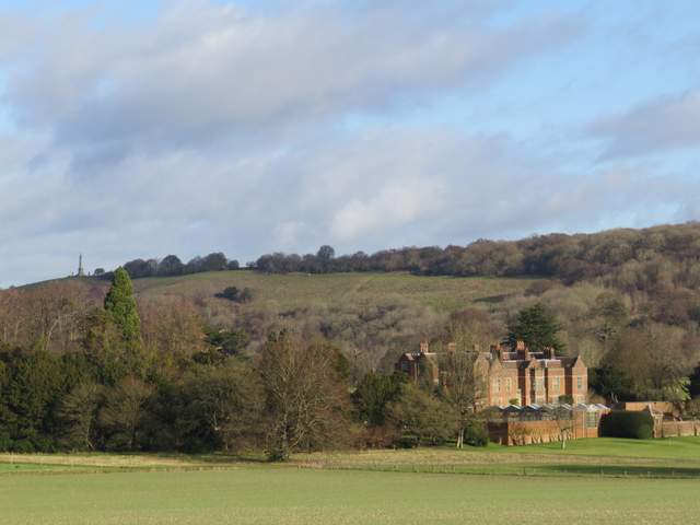
Chequers, with Coombe Hill beyond
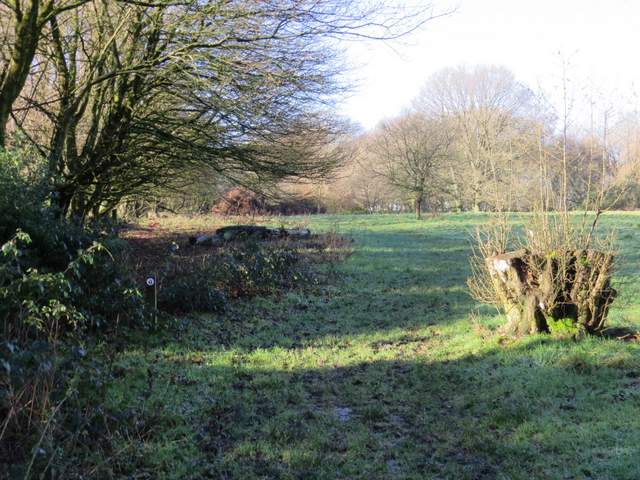
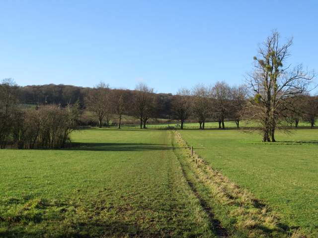
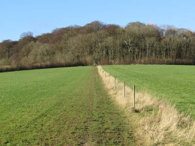
Beyond Maple Wood, the path crossed a large field (usually a pasture but arable this year) - this path is named Cradle Footpath on the OS map, but I don't know why. It continued through a very large area of grass and scrub (it occasionally has cattle in it), curving slightly right round the head of a valley. Just before reaching a metal kissing gate, I took a short detour right to visit the top of Chequers Knap, and enjoyed more extensive views over the Vale of Aylesbury.
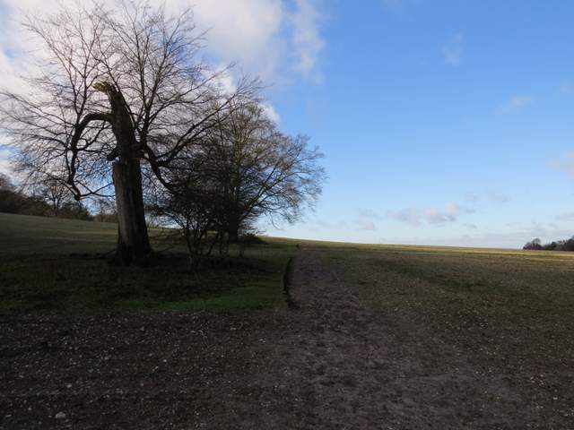
The Cradle Footpath
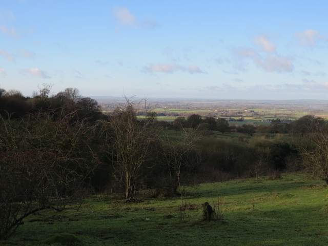
View over the Vale of Aylesbury from the Cradle Footpath
The Cradle Footpath
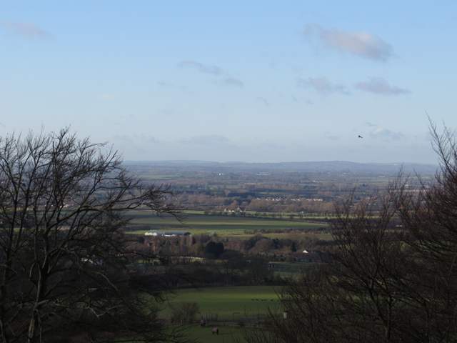
The Vale of Aylesbury from Chequers Knap
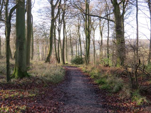
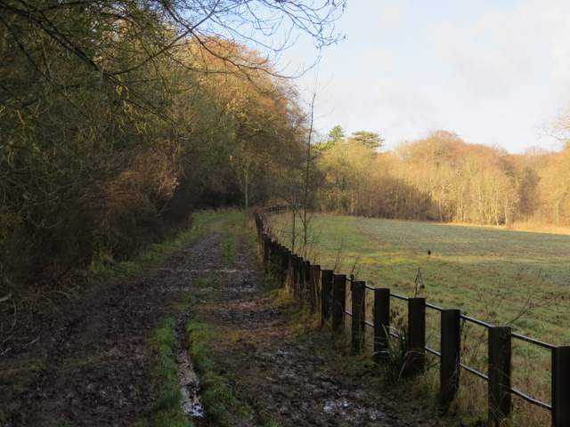
Through the metal gate, I turned right for a few yards down a bridleway, then turned left through another kissing-gate. The Ridgeway now ran across the foot of Pulpit Hill, its wooded slopes rising up on my left. I crossed a track and continued through the Grangelands and Pulpit Hill Nature Reserve, with Whiteleaf Hill now ahead of me. After a few hundred yards the Ridgeway left the reserve at a gate on the right, and followed a garden fence on the right to reach a road in the hamlet of Lower Cadsden.
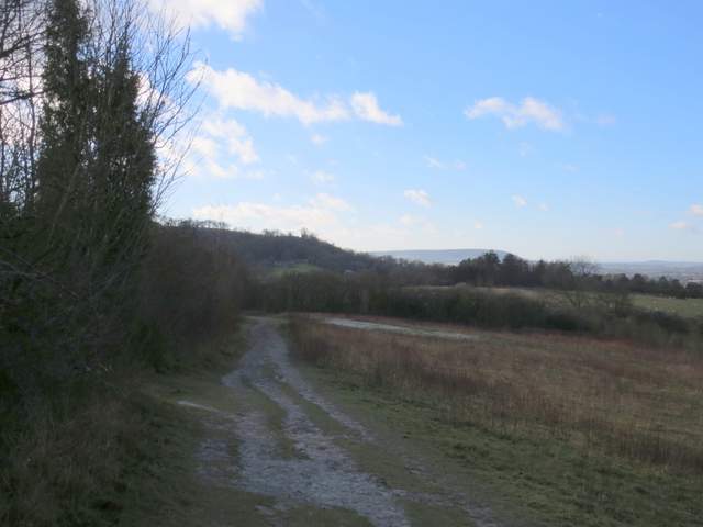
The Ridgeway national Trail, passing below Pulpit Hill. Whiteleaf Hill is straight ahead, with Bledlow Cop on the horizon.
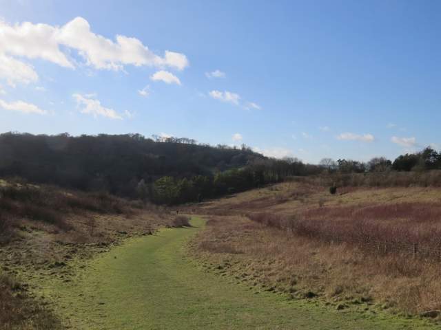
The Ridgeway in Grangelands and Pulpit Hill Nature Reserve
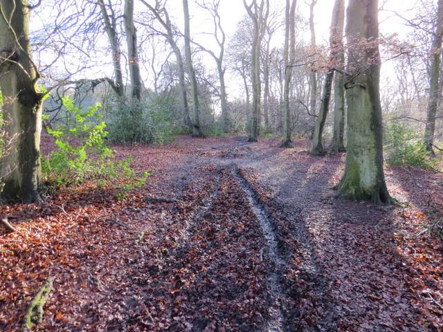
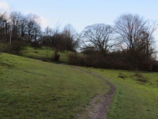
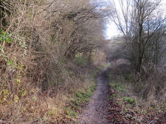
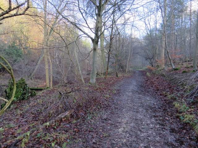
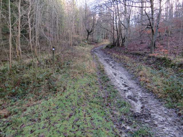
I turned left and after a few yards forked right into the short street leading to the village pub, The Plough. Here I finally left the route of the Ridgeway, as I took a path starting immediately to the left of the pub car park. This soon brought me to a crossroads of footpaths, where I turned left on a path I'd not walked before. The path was initially on a good track through the woods, but after a few hundred yards the public footpath left the track, turning right and heading uphill into Ninn Wood.
The start of the footpath from The Plough, Lower Cadsden
The path going left from the path crossroads - this was the first time I'd walked this path
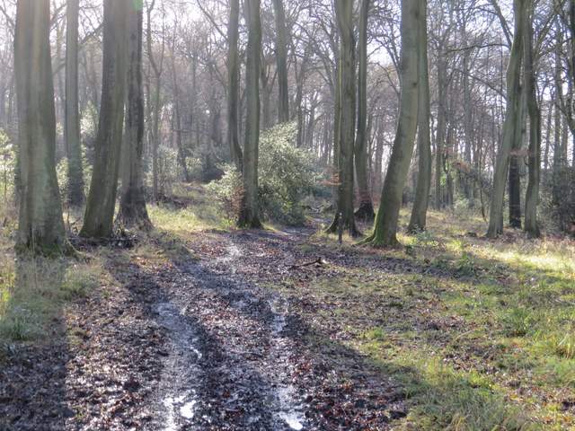
This is where the path turns right and goes uphill