Pete's Walks- Kensworth and Flamstead (page 1 of 3)
If you are considering walking this route yourself, please see my disclaimer. You may also like to see these notes about the maps and GPX files.
I did this roughly 10.8 mile circular walk on Monday, 21st July 2014.
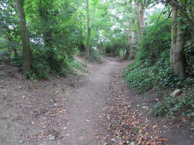
I started from Kensworth, walking down Hollicks Lane and taking the footpath that runs parallel to it behind a hedgerow on the left (note that this path starts at an opening into a field about a hundred yards further on than shown on the map). The path went up and down a steep-sided valley (the lane is marked as being 1-in-7 or steeper on both side), rejoining the lane near the top of the far side of the valley. I then followed the lane to Church End, and followed it as it turned sharply left in front of the church. The lane soon left the hamlet of Church End, and at a road junction I went straight on, following the lane along a valley bottom for about a mile to reach Kensworth Lynch.
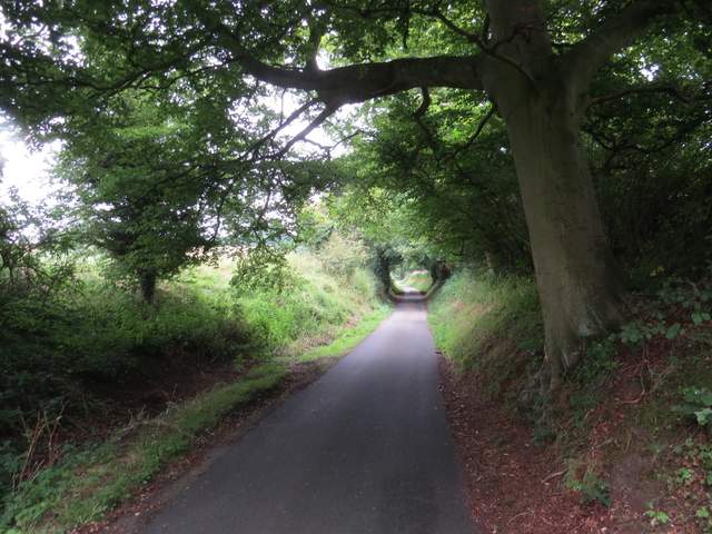
The path running next to Hollicks Lane
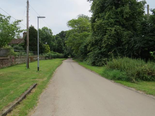
The lane through Church End, Kensworth
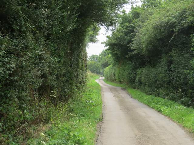
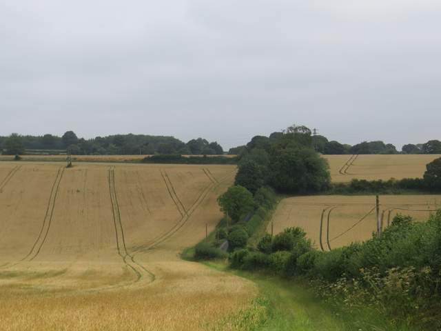
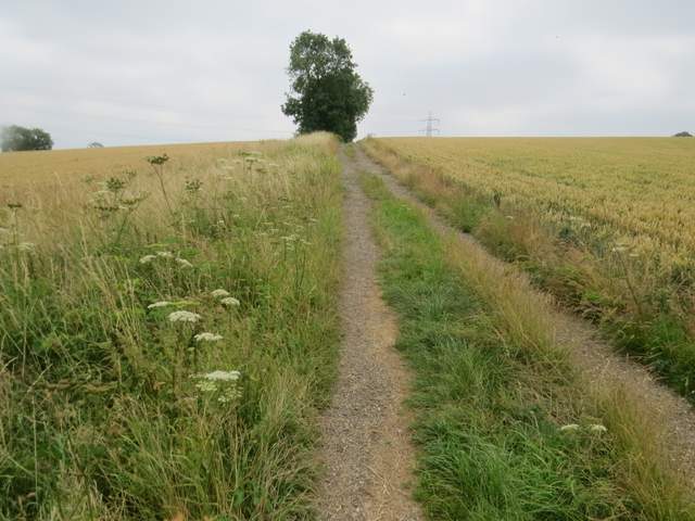
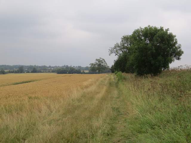
The lane from Church End to Kensworth Lynch
The lane from Church End to Kensworth Lynch
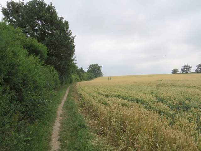
I continued through Kensworth Lynch to the end of the lane, and took a footpath on the other side. This initially followed a track slightly uphill, with corn fields either side. In the valley to my left I could see the traffic on the A5 (or Watling Street). After about half a mile, a yellow-topped post indicated where the path went half-left, across a corner of a field that this year was growing beans. The path then continued beside a left-hand hedge, and I passed a man re-painting one of the signs on the River Ver Trail (the river starts in Kensworth Lynch, and runs along the valley down on my left). The path continued past playing fields on my right to reach a street in Markyate.
Near the start of the footpath from Kensworth Lynch to Markyate
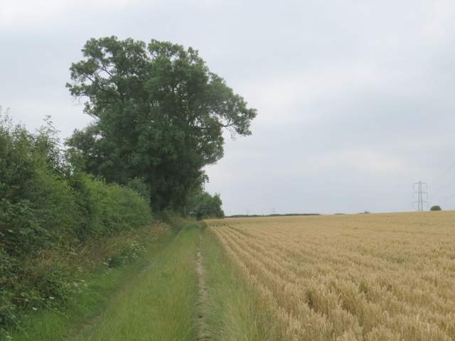
The footpath from Kensworth Lynch to Markyate
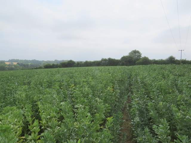
the footpath from Kensworth Lynch to Markyate, crossing the corner of a bean field
The footpath from Kensworth Lynch to Markyate
I turned left for a few yards, then took a surfaced path going right. I continued straight on beside some roads, soon dropping downhill to a T-junction. I went straight on down an alley, with Markyate Baptist Church on my left, then went through a small gate in a brick wall surrounding a tiny ornamental garden (I have no idea what this feature is, really!), then left a few yards along a street before turning right at a footpath sign. The path went between some houses and left the village, soon coming to a fork where I went slightly left. The path now followed a tall hedge on the left, beside another large cornfield. After some distance, where another path crossed, the path continued beside a hedge on the right and soon I could make out Flamstead Church some way off ahead of me.
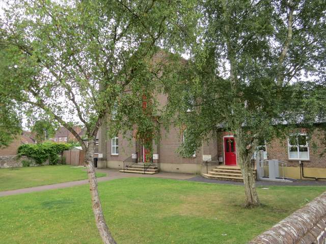
Markyate Baptist church
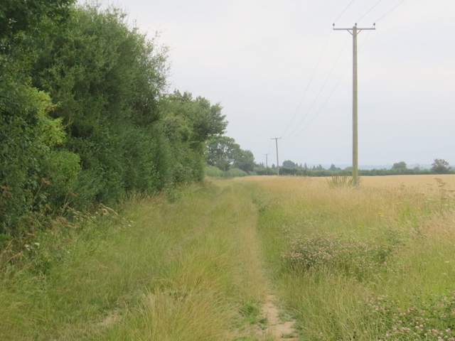
Start of the path from Markyate to Flamstead
The path from Markyate to Flamstead
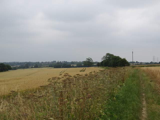
The path from Markyate to Flamstead
The path from Markyate to Flamstead
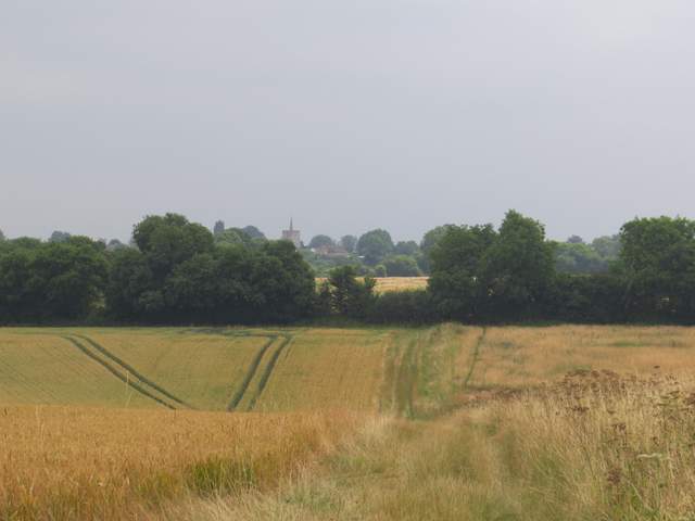
The path from Markyate to Flamstead - Flamstead church in view, topped by its 'Hertfordshire Spike'