Pete's Walks- Coombe Hill and Redland End (page 2 of 5)
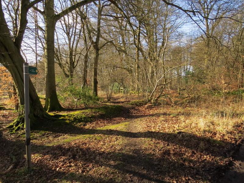
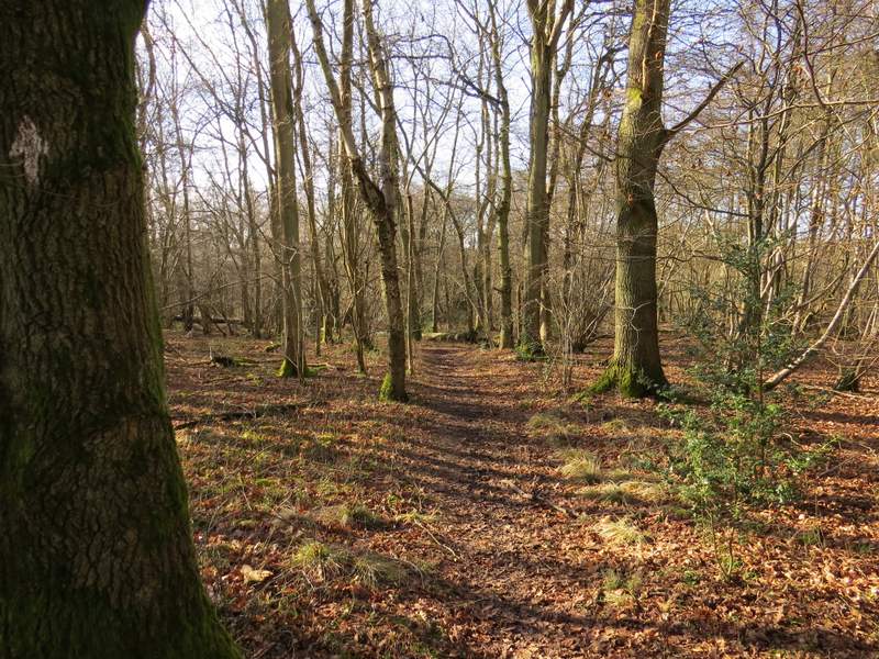
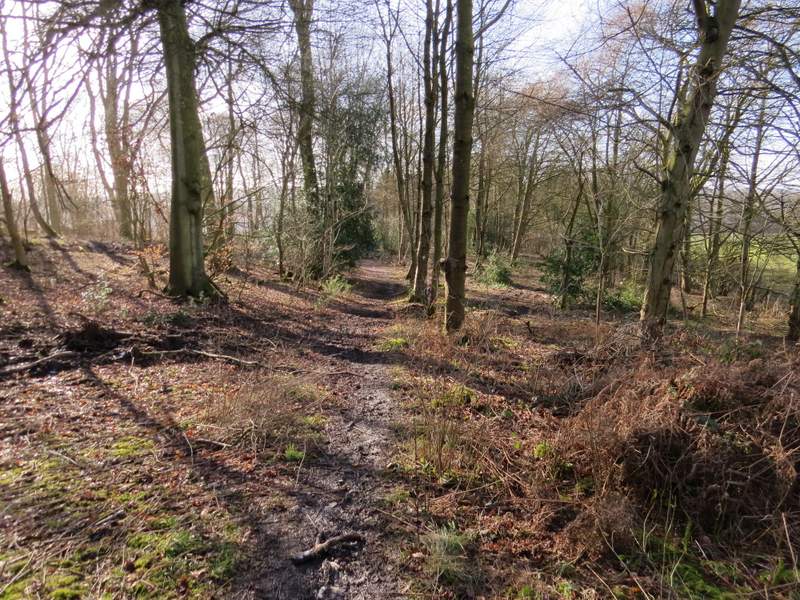
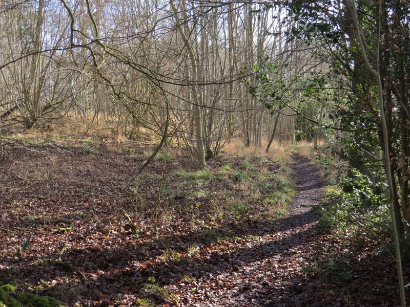
Across the bridleway junction I continued along a path into High Scrubs Wood. This began along a wide track, but when this turned left the right of way continued ahead along a faint pathway for a few yards, before itself turning left. A post with some waymarks then indicated where another path went right, which I followed slightly downhill to reach a lane. I went left along the lane for about a hundred yards, before taking a path on the right that went through Fugsdon Wood. I almost went wrong here - after a couple of hundred yards or so, I had to leave the clear path continuing ahead and go over a stile in a small section of wooden fencing a few yards to the left. The path continued on through the wood for almost half a mile (I had a brief glimpse of a deer at one point, possibly a Roe Deer but I couldn't be certain) until I reached a five-way junction of paths and bridleways.
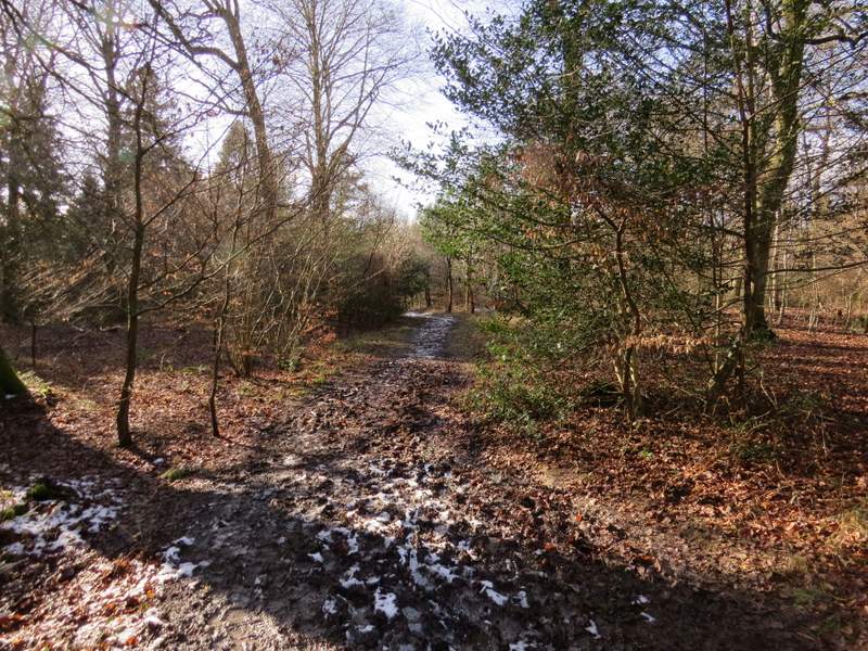
The start of the footpath in High Scrubs Wood
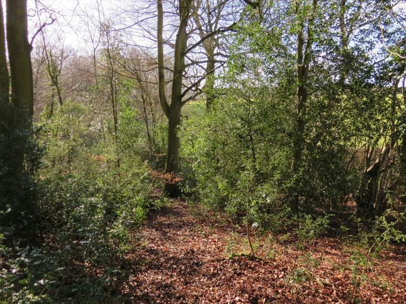
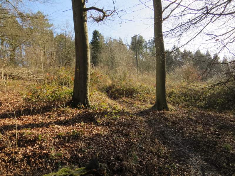
The footpath in High Scrubs Wood, dropping down to the lane
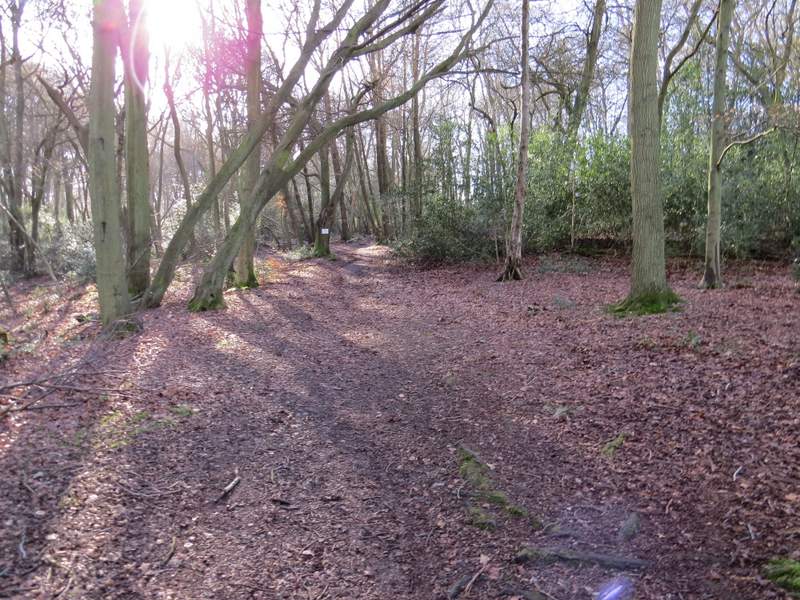
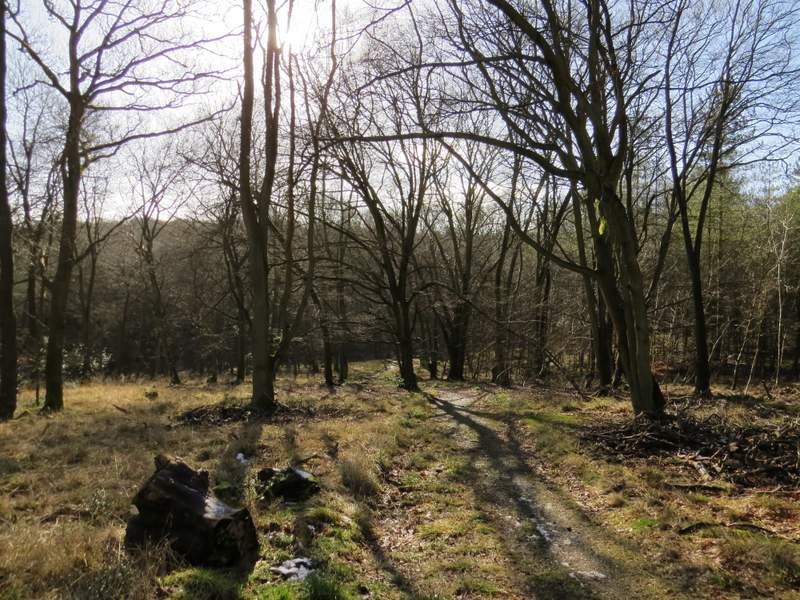
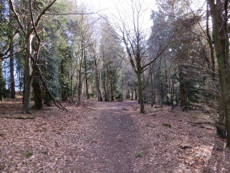
The start of the footpath through Fugsdon Wood

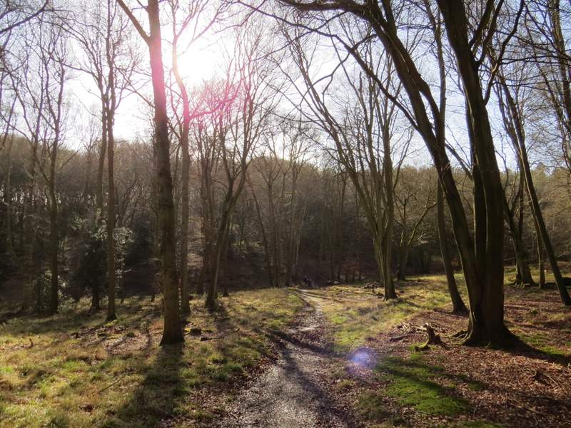
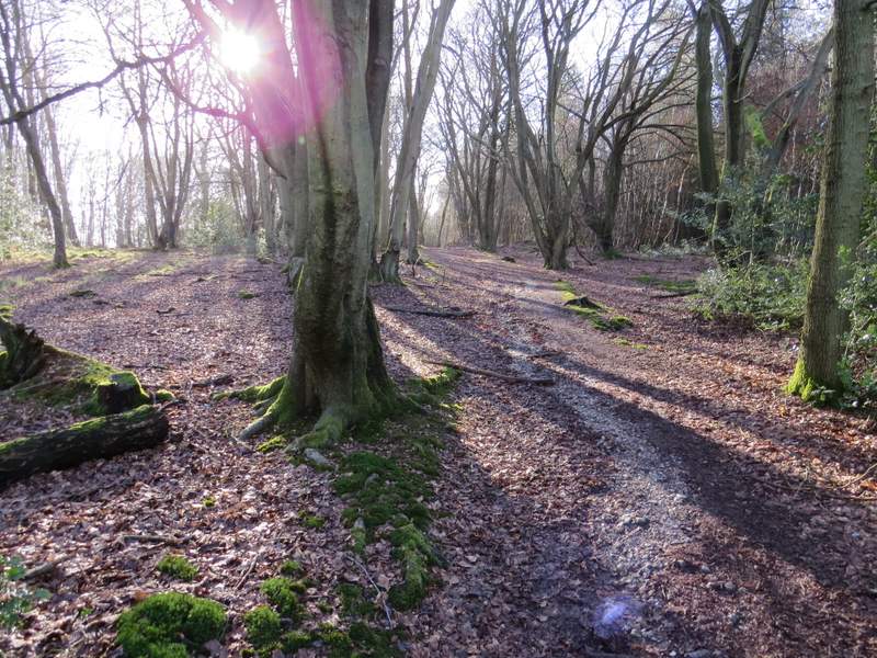
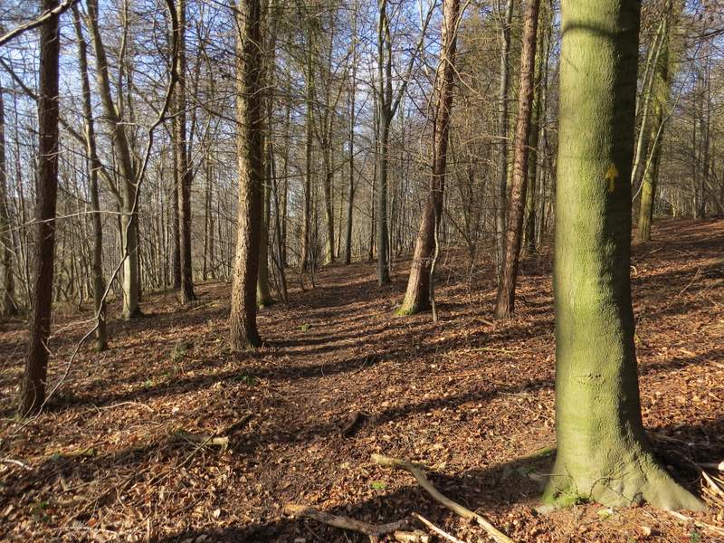
The footpath through Fugsdon Wood
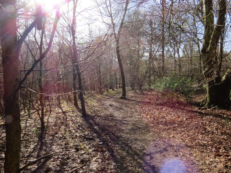
The footpath through Fugsdon Wood
The footpath through Fugsdon Wood
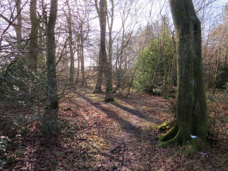
The footpath through Fugsdon Wood, approaching the five-way junction
I took the path going straight on, which started uphill and headed on into what was now Chisley Wood. Fairly soon there was a field close by on my left, and somewhere along here I spotted a Muntjac Deer. The path continued through the wood until it reached the end of a lane (I presume the lane once continued on to Little Hampden, a few hundred yards to my left) - I would walk the other end of this lane when I reached Buckmoorend near the end of this walk.
The path continuing into Chisley Wood
The path through Chisley Wood
A few yards to the right, a footpath started on the other side of the lane, heading through Hengrove Wood. It soon dropped downhill and I kept left at a couple of path junctions. Soon after there was a field nearby on the right. I then turned left at a path junction, continuing through what was now Widnell Wood (according to the Google map) and slowly rising uphill. After a while I passed through an area of conifers. Somewhere here a white arrow on a tree pointed right, down a forestry track to the point which I knew I would leave the wood by, but I knew this wasn't the public right of way (unless it's new since my map was published), so I carried on ahead for maybe another couple of hundred yards to a path junction where the path I wanted went sharply right. This path led gently downhill through the trees to the edge of the wood by the forestry track I'd seen earlier.
The start of the path through Hengrove Wood, from the end of the old lane
The path through Hengrove Wood
The path through Hengrove Wood, just before I turned left
The path through Widnell Wood (not named on the OS map, but named on the Google map)
The path through Widnell Wood
The path through Widnell Wood
The start of the footpath descending through Widnell Wood, after I turned sharp right