Pete's Walks- Hambleden, Frieth, Bovingdon Green (page 1 of 5)
If you are considering walking this route yourself, please see my disclaimer. You may also like to see these notes about the maps and GPX files.
NOTE: You now have to pay to use the car park in Hambleden. I usually manage to park along the village street to the west of the church (looking at the church from the village centre, take the street on the left and follow it round to the right).
I did this circular walk of about 12.8 miles on Saturday, 21st February 2015. It was a repeat of a walk I did in May 2012 (I'd originally walked the route in the opposite, anticlockwise, direction in February 2010).
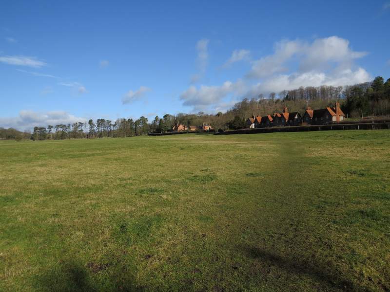
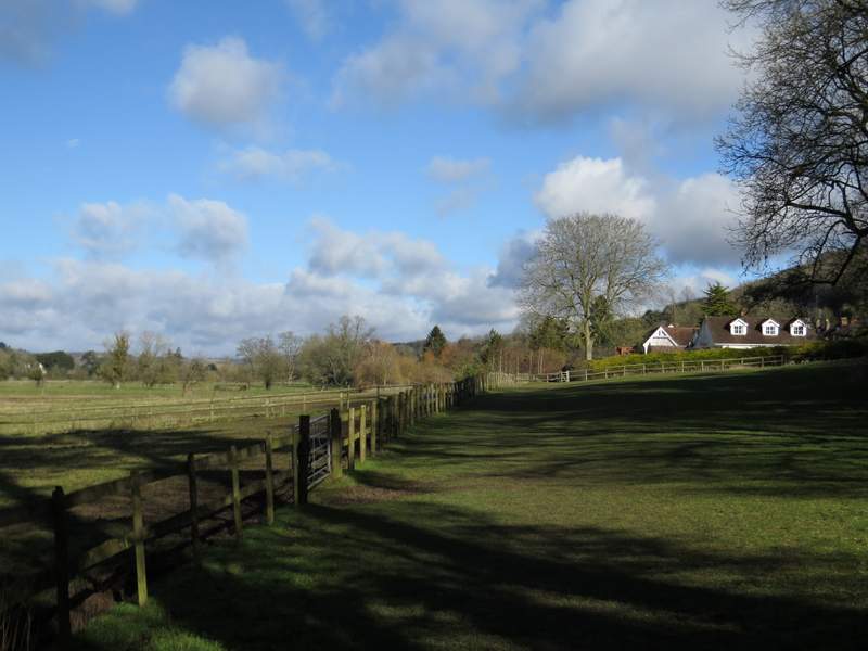
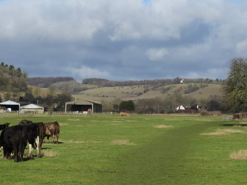
I parked in the car park at Hambleden and started walking about 10.30pm. The weather forecast was for wintry showers, but it was a beautiful sunny morning as I set off. I walked down the short street to the village 'square' and passed the village church on my right, continuing straight ahead down a street that very soon turned right. I passed another side of the churchyard, and carried on until I reached a footpath sign on the right (a sign indicated the path was part of the Chiltern Way, which I'd be following for the first part of the walk). The path headed across part of a large empty meadow before turning left to reach a gate. It continued across a smaller meadow, before going through two more gates either side of a line of trees and then across an empty paddock. The path then became an alley threading its way between some gardens in the hamlet of Pheasant's Hill. From Pheasant's Hill the path continued its northward course through the beautiful Hambleden valley, first through a small meadow, then switching to the right of the hedgeline as it went through a larger field, before passing through a paddock next to Colstrope Farm to reach a lane.
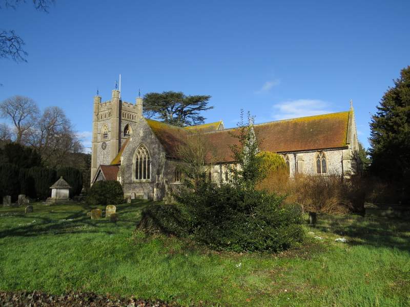
Hambleden church
The start of the footpath to Pheasant's Hill
Approaching Pheasant's Hill
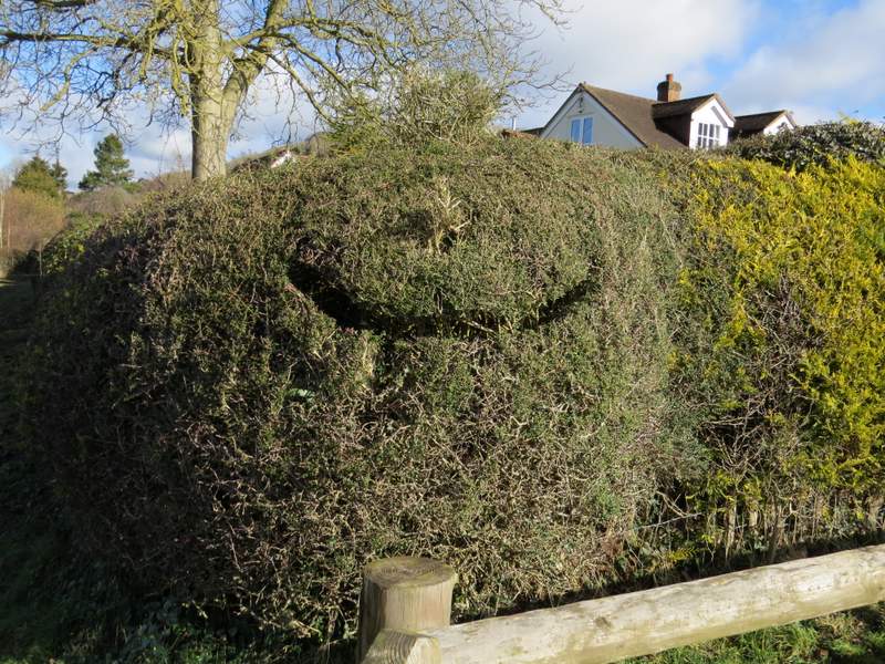
There were no boots sticking out of the mouth of this topiary figure on the edge of Pheasant's Hill today and it looked a bit the worse for wear (I figured it hadn't eaten for a while, so I ran past as fast as I could!)
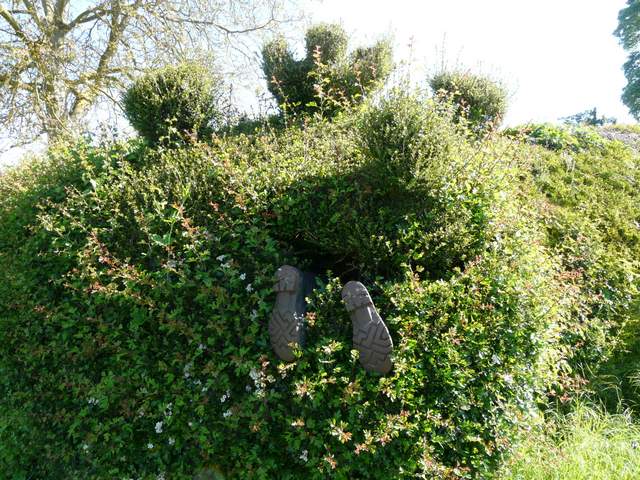
In case you don't understand my previous caption, this is what it had just done to some poor walker when I came past in May 2012!
The path continuing north from Pheasant's Hill
The path approaching Colstrope Farm
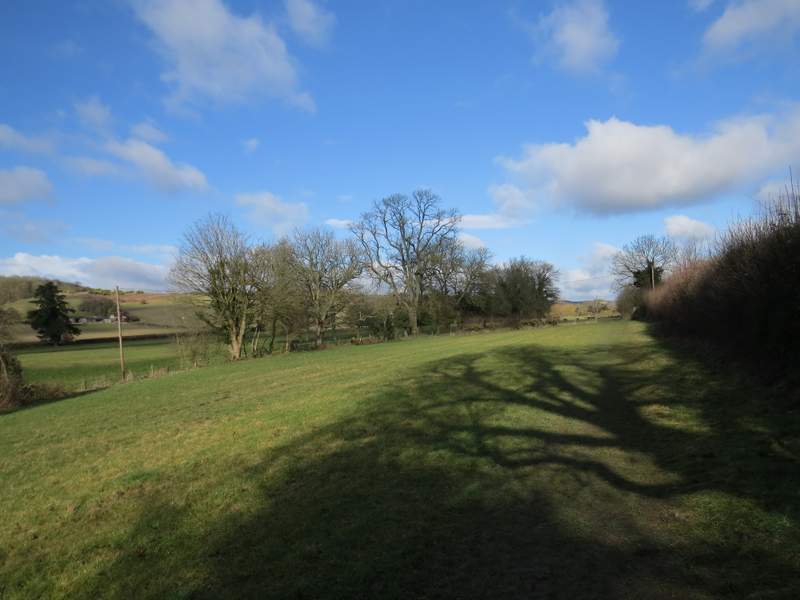
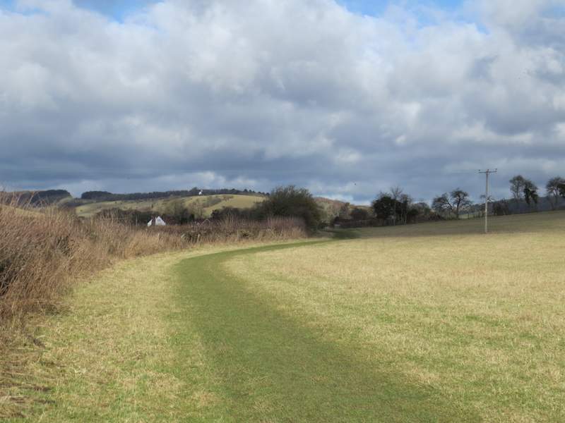
I turned right along the lane, which immediately turned left through the hamlet of Colstrope. When it turned right, I continued ahead along the valley on another field path. When this crossed a lane or drive, there was a clear path going straight across the next meadow but in fact the public footpath turns left and goes round the edge of half the meadow to reach the gate on the other side. There were cows in the next large pasture, and a bull in the corner to my right. The path continued northwards through the valley, passing close to Arizona Farm on my left, and with the white Cobstone Mill visible on top of the steep hillside directly ahead of me.
The start of the path continuing north through the Hambleden valley from Colstrope
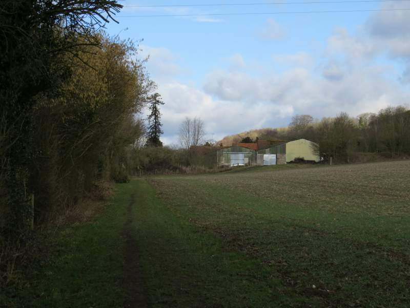
Close-up shot of the path continuing towards Arizona Farm (Cobstone Mill on the skyline above Skirmett)
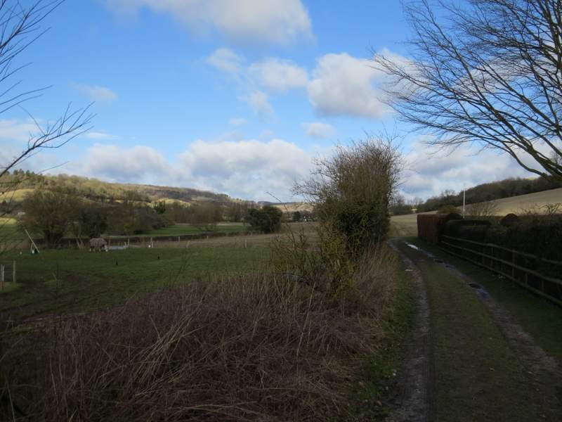
The path from the lane near Skirmett
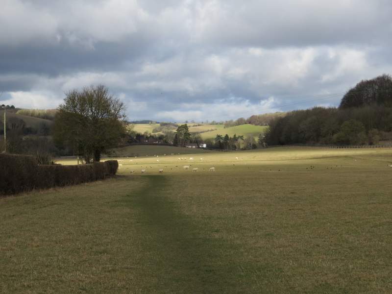
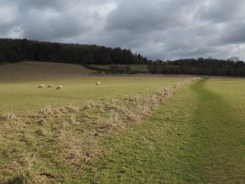
The path eventually reached a lane on the edge of the village of Skirmett. I turned right and followed the lane for two or three hundred yards, then took a footpath on the left. This followed the left edge of a very large sheep pasture. When I reached a path junction with a post and waymarks, I turned right and crossed the field to a gate (sponsored by Cherry Red records) and continued across part of another field. I then turned left along a bridleway heading uphill and into Adam's Wood. The first section in the wood was quite steep but not very long, and then there was a longer flatter section through the trees. When I reached a path junction by a seat, I followed the bridleway right (leaving the Chiltern Way, which followed a footpath straight on). The bridleway went a short way downhill to reach the edge of the wood, then followed a hedge on the right back uphill through a pasture. I then followed a track a short distance left to reach Mousell's Wood.
The path from the lane near Skirmett
Near the start of the path from Skirmett to Adam's Wood
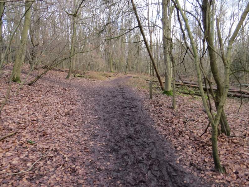
The bridleway through Adam's Wood
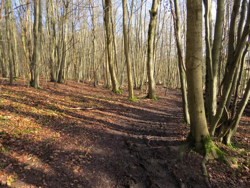
The bridleway through Adam's Wood
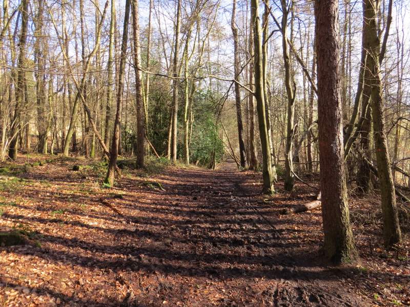
The bridleway after forking right at a path junction
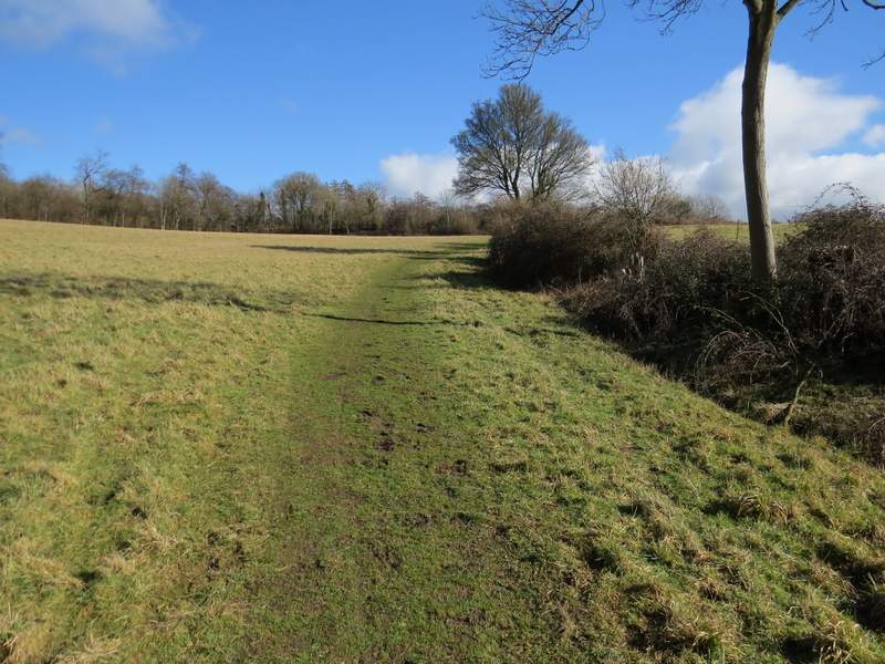
The bridleway continuing beyond Adam's Wood