Pete's Walks- Ashridge and Frithsden (page 1 of 2)
If you are considering walking this route yourself, please see my disclaimer. You may also like to see these notes about the maps and GPX files.
I did this circular walk of about 7.9 miles on Saturday, 14th March 2015.
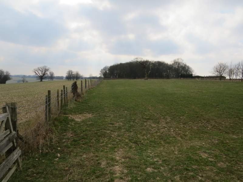
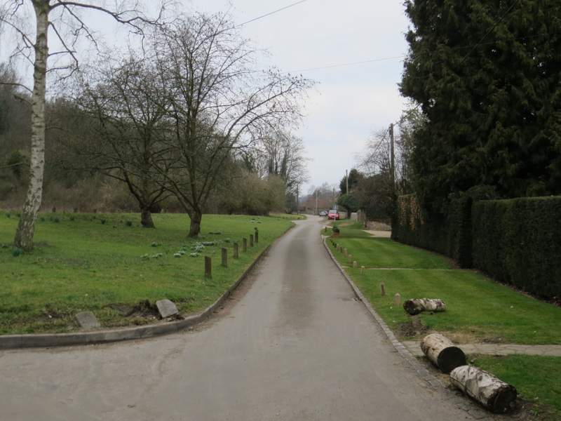
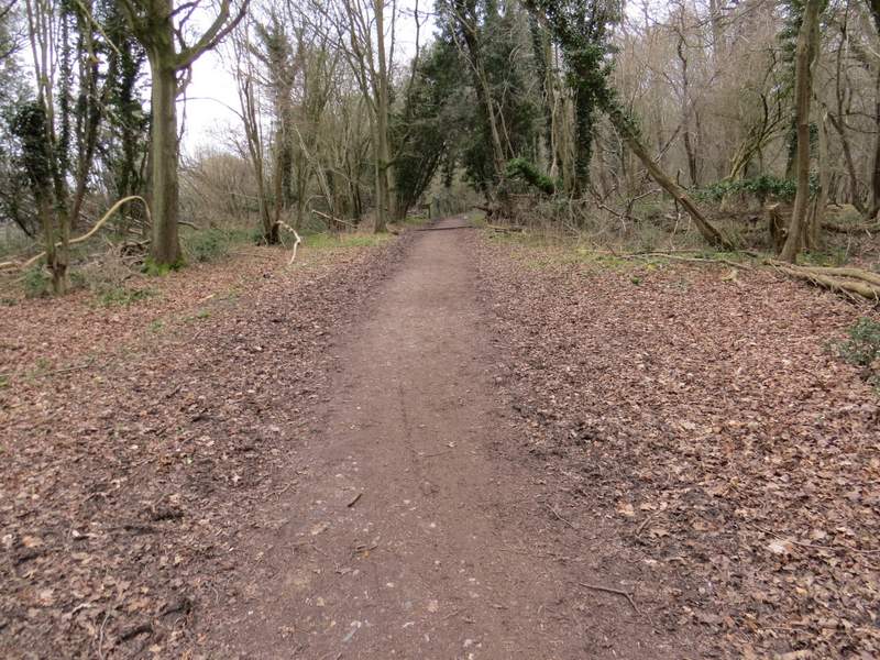
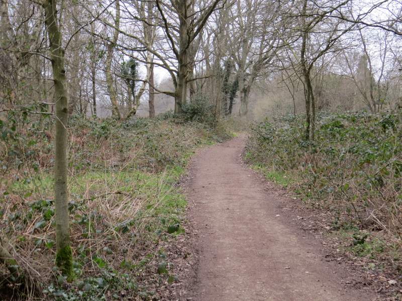
I parked in the car park just south of Ringshall, along the road to Northchurch. The OS map shows a footpath going west from the road into the woods of Ashridge, but I took a path on the other side of the road from the car park - this path isn't shown on the OS map, but it is clearly marked and is part of the Ashridge Estate Boundary Trail. Initially the path ran through trees, with garden fences nearby on my left and part of Ashridge Golf Course on my right. I went straight on at a path crossroads (the crossing path being part of the Chiltern Way), then the path gradually turned from east to south-east as it progressed through the trees, until after almost a mile it reached one of the drives leading to Ashridge House.
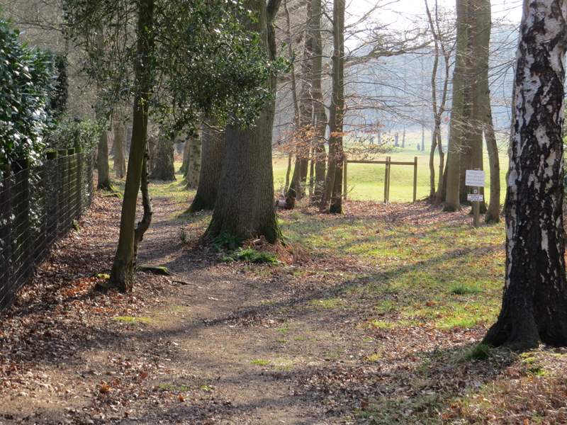
Near the start of the path beside the golf course
The path beside the golf course
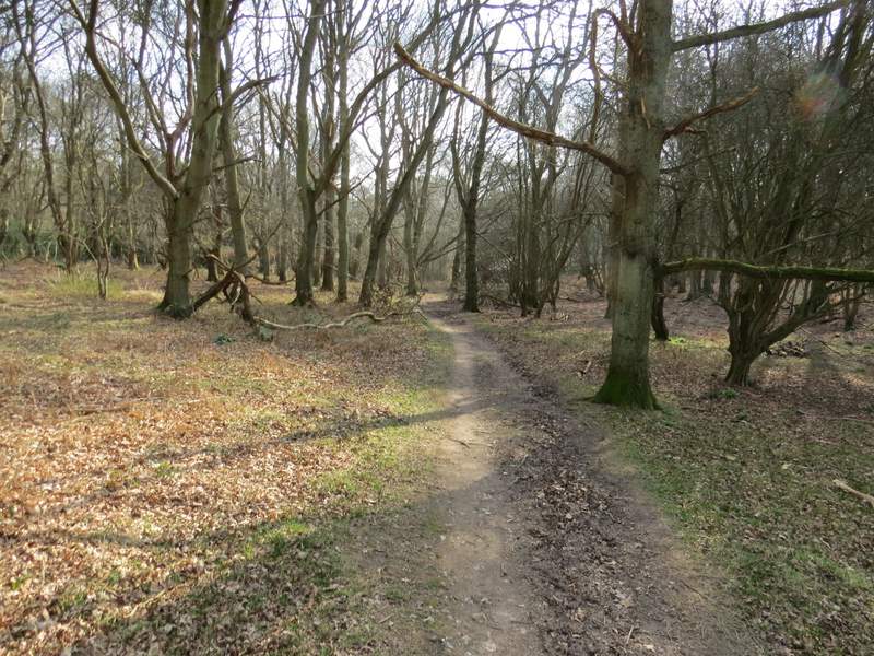
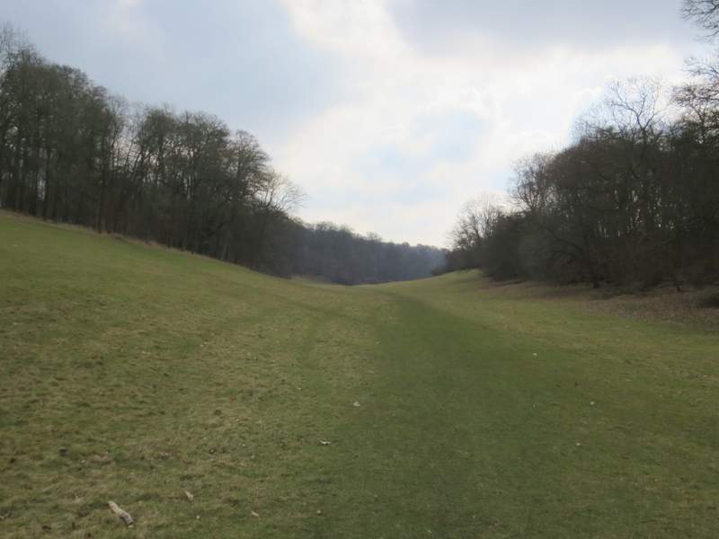
The path continuing towards to Golden Valley
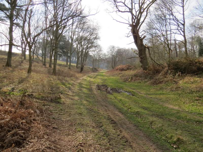
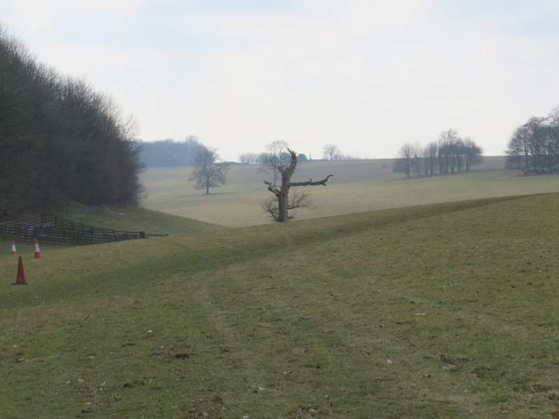
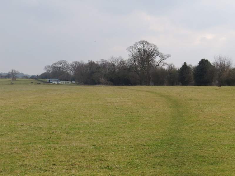
Across the drive, I continued along a path through the grass that initially ran almost parallel to the drive on my right before turning left into the start of Golden Valley. This started as a broad swathe of grass with woods on either side - I couldn't see it, but Ashridge House was a short distance away through the trees on the right. The path followed the bottom of the valley. After a mile or so the woods on either side ended, and the path continued along the valley bottom through a huge empty pasture.
Across the drive to Ashridge, at the start of Golden Valley
Golden Valley
Golden Valley
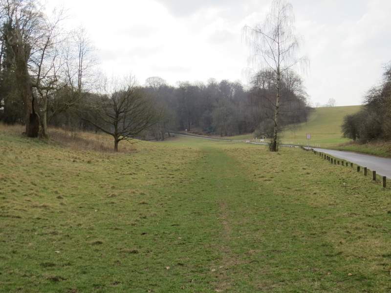
The path continuing through the large pasture in Golden Valley
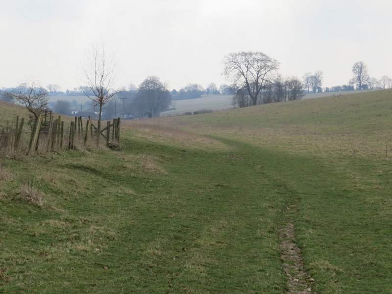
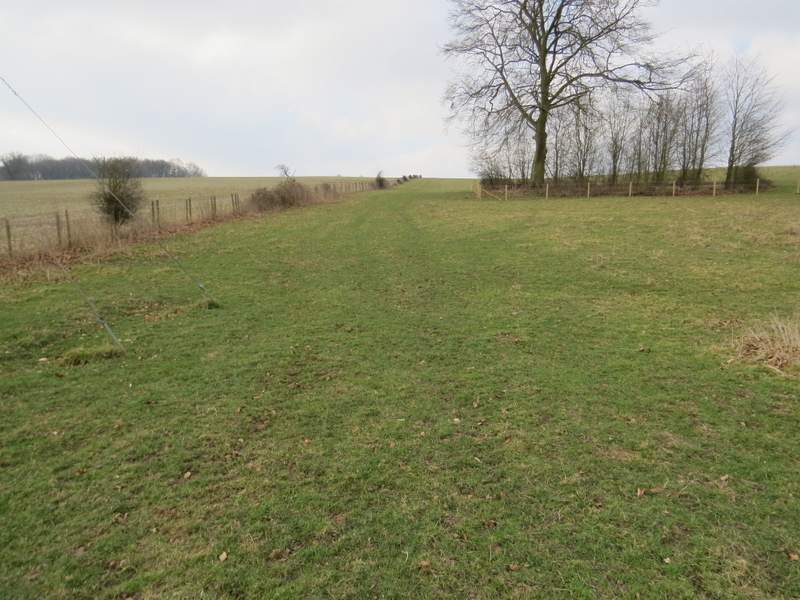
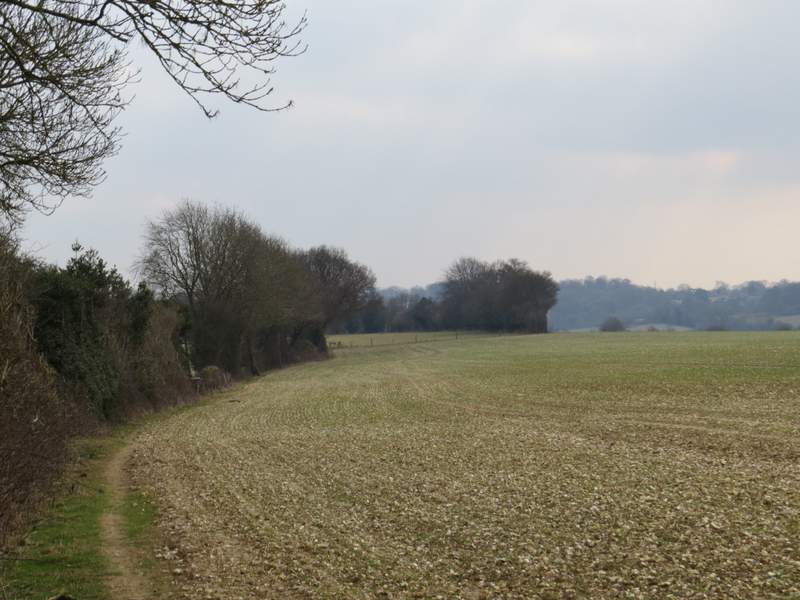
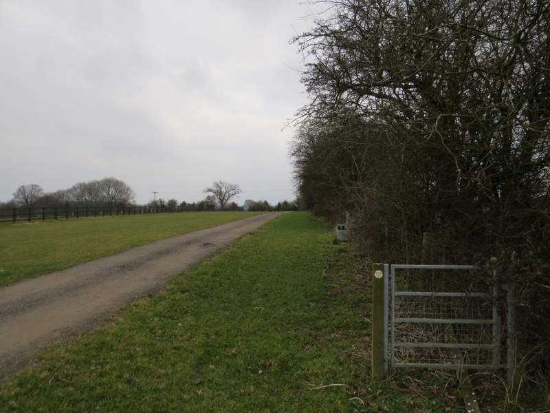
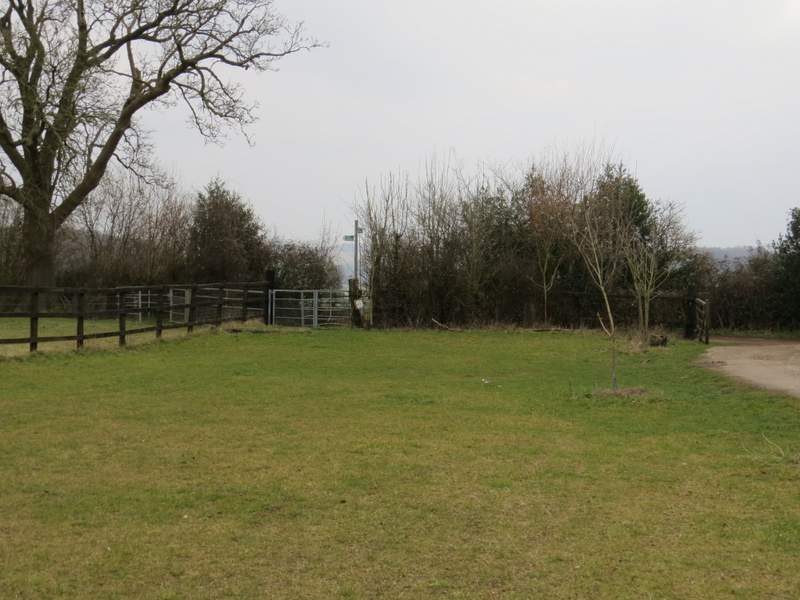
At the far end of the pasture I reached a fence, where I turned right and followed the fence quite steeply up the hillside. When the fence turned left at the top of the hill, I also turned left and headed for a gate in the fence facing me. This led into a wood called Webb's Copse - originally the path entered the wood slightly further left near the field corner, and that old path was still visible through the wood. Old and new paths eventually merged, before leaving the wood and following a long hedgerow on the left. There were occasionally views through gaps in the hedge over the Golden Valley on my left, as it continued towards the village of Nettleden. At the end of the hedgerow, I went over a stile and continued through an empty sheep pasture. I'd passed several signs with red arrows on yellow markers and a sign by one of them said it was a marshalling point for the Ashridge Boundary Run which was being held today - I presumed it would follow the course of the Ashridge Estate Boundary Trail which I'd been following so far. Anyway, I now met the first two or three runners as I crossed the pasture to a metal kissing-gate in the corner by some stables - there were also some marshals for the race here. But I now left the course of the Ashridge Estate Boundary Trail by going straight on instead of turning right - this was the first time I'd been this way, the path following a drive from the stables through a long narrow grassy enclosure. A redundant gate part-way through the enclosure showed that the footpath was initially to the right of the drive, but at the end of the enclosure the path exited via a gate in the left corner.
The path going uphill in Golden Valley
The path continuing to Webb's Copse
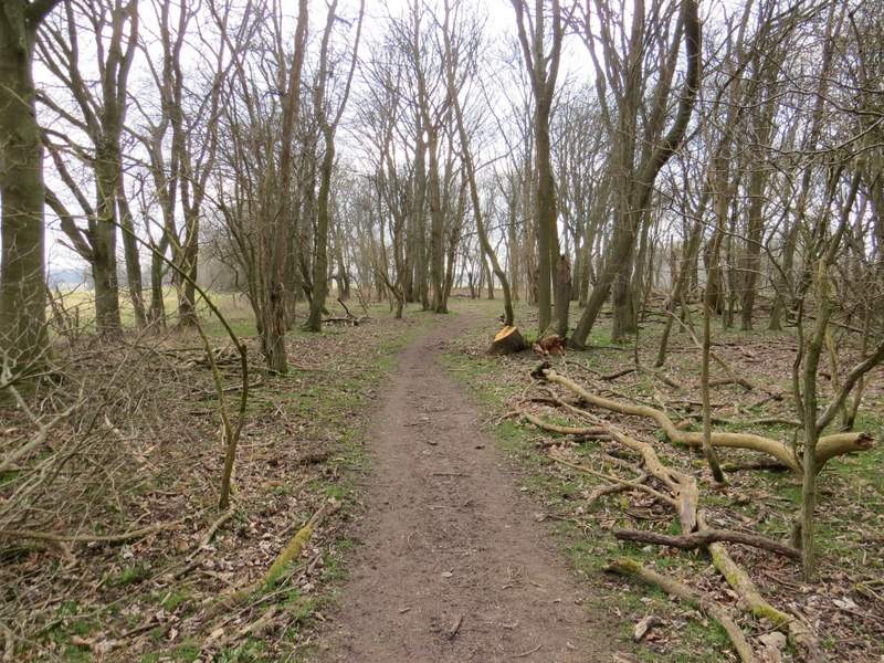
The path through Webb's Copse
The path continuing from Webb's Copse
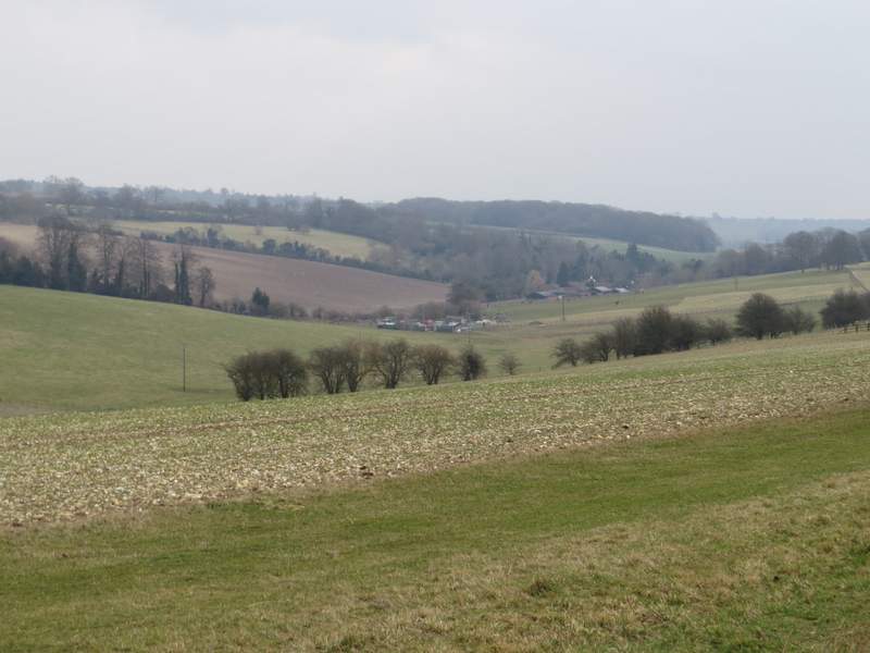
View along Golden Valley towards Nettleden
The path continuing from Webb's Copse
The path continuing from the stables
The end of the path, where it joins Roman Road
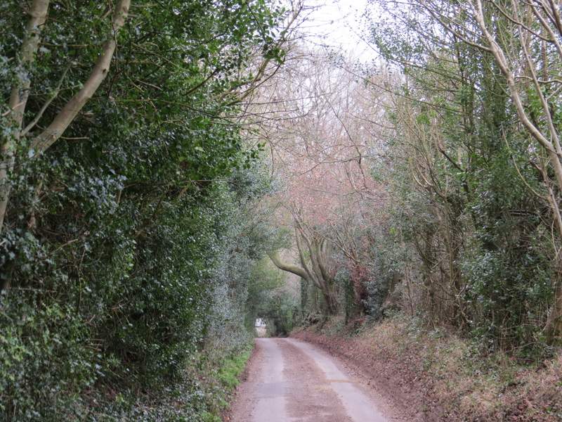
I turned right, and followed Roman Road to reach Frithsden (I'd been here a couple of months ago on this Hudnall and Potten End walk). On reaching the lane through the village (with the Alford Arms pub on my left), I went straight on along a footpath rising up through the trees of Little Frithsden Copse. The path levelled out and beyond the wood it continued through a narrow belt of trees to reach a private road of houses (I'm not sure if this is Frithsden or Potten End). I continued across the road along a short path between houses to reach some trees and a bridleway (part of the route of the Hertfordshire Way), where I turned right.
Roman Road heading towards Frithsden
Looking right in Frithsden
The path through Little Frithsden Copse
The path continuing from Little Frithsden Copse