Pete's Walks- Pitstone Hill, Aldbury, Clipper Down (page 1 of 2)
If you are considering walking this route yourself, please see my disclaimer. You may also like to see these notes about the maps and GPX files.
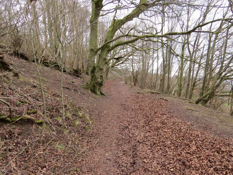
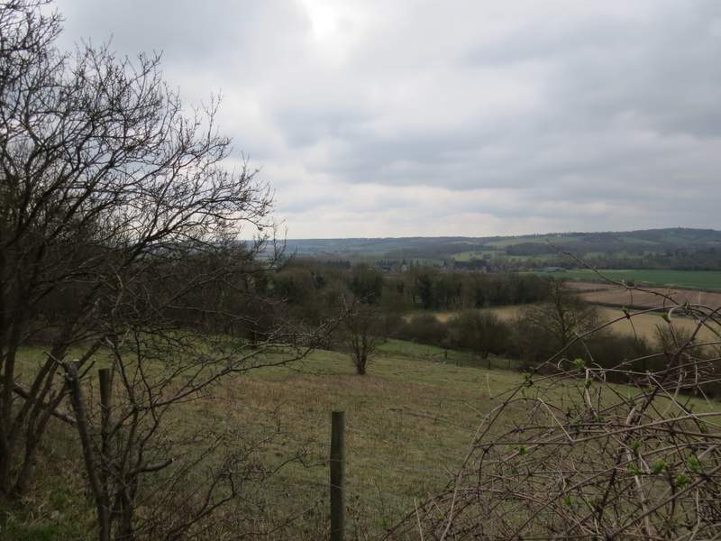
I did this circular walk of about 4.8 miles on Easter Sunday, 5th April 2015. I've been having trouble with my left leg recently, and only wanted to do a shorter walk while I tested out a change to the orthotics (special insoles) I have to wear. I parked in the car park for Pitstone Hill, and started walking about 11am. I followed the route of the Ridgeway national trail, which led out of the end of the car park and followed a fence-line on my left - on my right was the unnamed (or at least its name is unknown to me!) 'hillock' behind the car park. Beyond the hillock, the path led gradually up Pitstone Hill - it was a very grey morning, so the views over the Aylesbury Plain to my left were not as clear as usual.
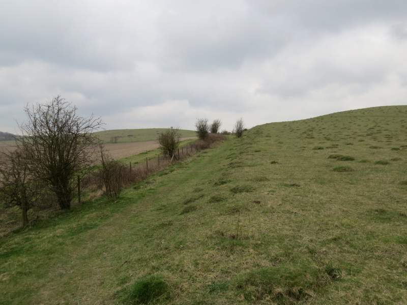
The path from the Pitstone Hill car park, the 'hillock' on my right
Looking back from the path along Pitstone Hill, over the 'hillock' to Steps Hill and then Ivinghoe Beacon
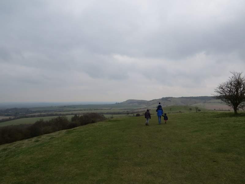
Approaching the top of Pitstone Hill
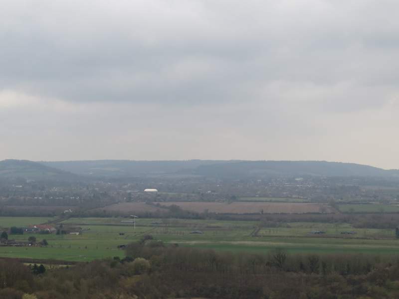
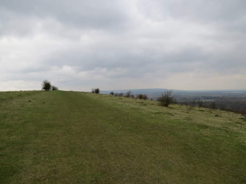
Rather grey view from Pitstone Hill towards Tring
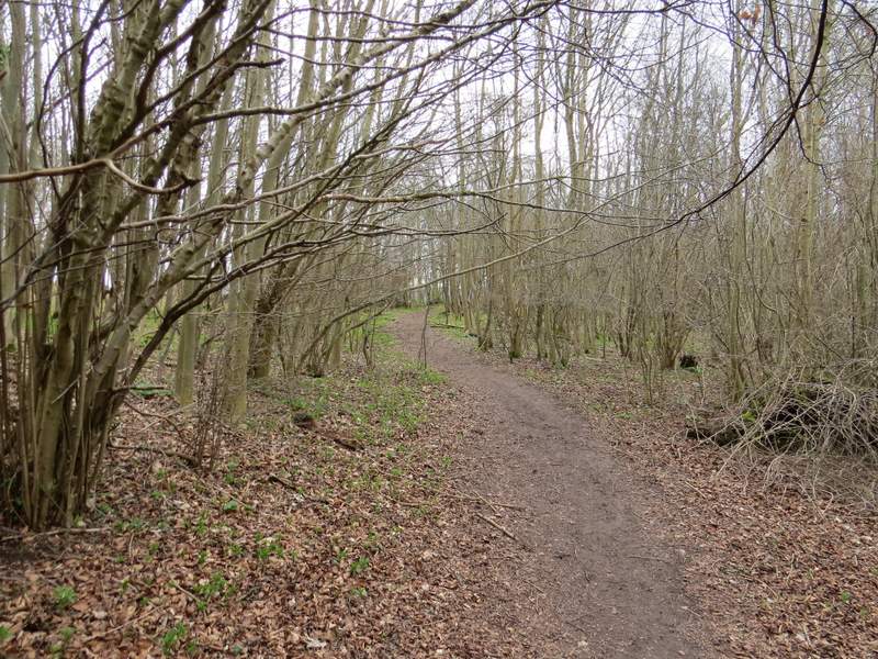
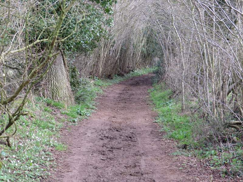
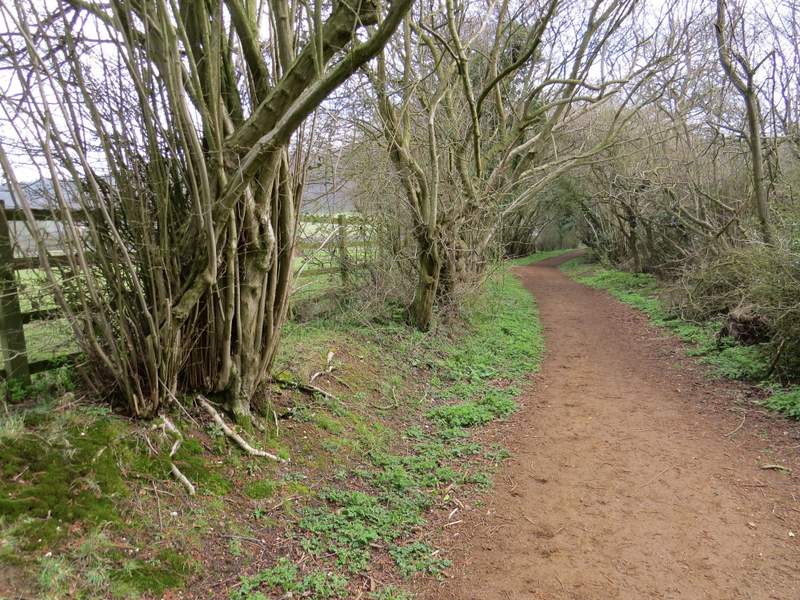
At the top of Pitstone Hill I stayed with the Ridgeway, as it turned half-left and descended across the grassy western side of the hill , following part of an ancient earthwork called Grim's Ditch. It continued along the course of the earthwork through the woods of Aldbury Nowers, though this wasn't really very clear to see. After half a mile or so, having just passed part of the Aldbury Nowers nature reserve, the Ridgeway went down some 'steps', passed a footpath going right then a few yards further on came to a path T-junction. Here the Ridgeway turned right, but I turned left for a few yards before forking right at a path junction. In two or three hundred yards this path led to a gate which took me on to the golf course at Aldbury.
Path through Aldbury Nowers
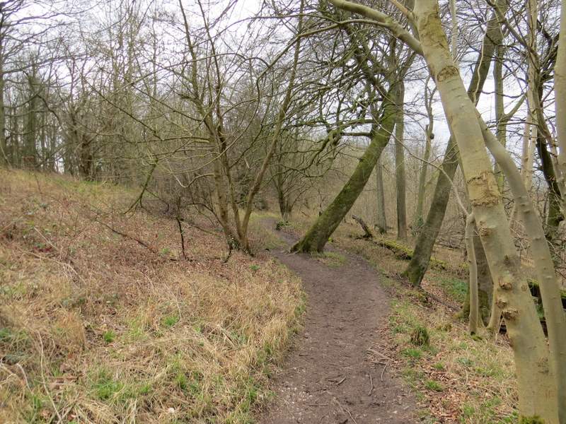
Path through Aldbury Nowers
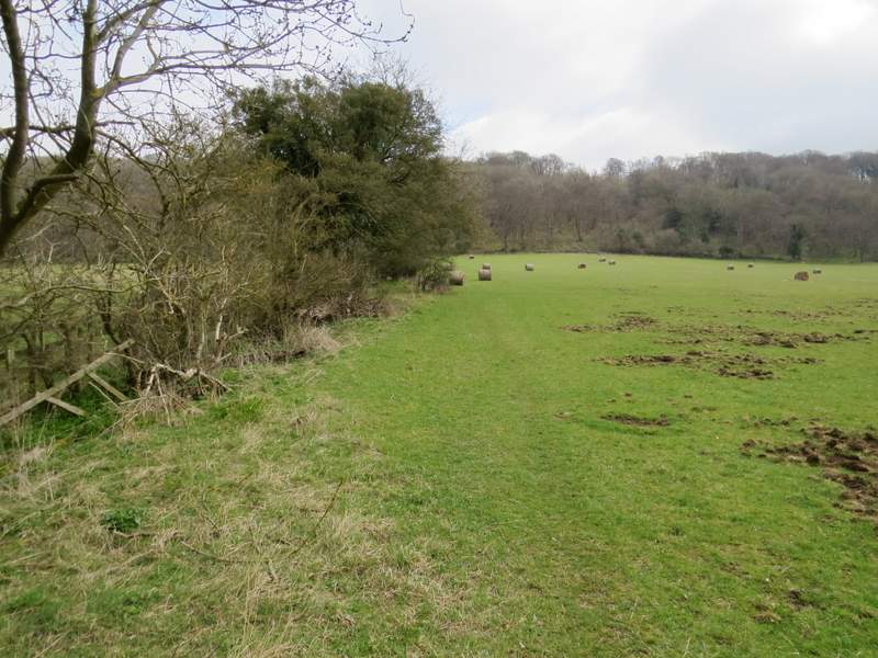
Looking right, over part of the Aldbury Nowers nature reserve
The path to the golf course
The path first followed on old hedge-row on my left, then continued quite clearly between fairways on either side - I managed to photograph a Skylark in the short grass here. When the path reached the far side of the golf course, I turned left along a bridleway running between hedges. It ran for some distance with the golf course to its left, passing the club house and its car park. I spotted some lovely Wood Anemones along here.
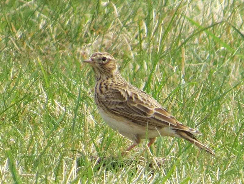
Skylark, on the golf course at Aldbury
The bridleway on the other side of the golf course
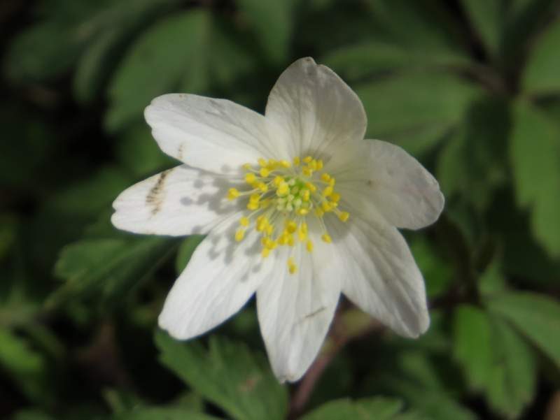
Wood Anemone
The bridleway on the other side of the golf course
The bridleway on the other side of the golf course
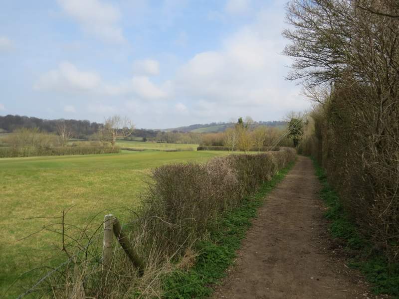
The bridleway ended at a lane close to the northern edge of Aldbury, to my right (the lane was the one running past the car park where I'd started). I turned left, and now started a section that I'd not walked before - I'd decided to use this shorter walk to include a path I've passed dozens of times but never followed. After about 100 yards I took a footpath on the right (to Duncombe Terrace), which followed a hedge on my left (the OS map shows it on the other side of the hedge). After another 100 yards or so, I turned left through a gate, and continued across a huge paddock towards a gate by a white cottage on the far side.
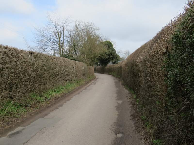
The short walk along the lane - you can see the footpath sign where I turned right, just before the lane goes out of view
The start of the path to Duncombe Terrace - it turns left at a gate in the hedge after one or two hundred yards
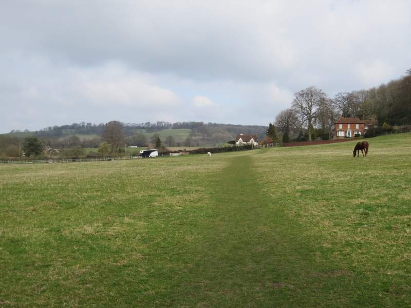
The path continues through this large paddock