Pete's Walks- Maidensgrove Common and College Wood (page 1 of 4)
If you are considering walking this route yourself, please see my disclaimer. You may also like to see these notes about the maps and GPX files.
Google map of the walkDownload GPX file of the walk
I did this circular walk of about 8.5 miles on Saturday, 6th June 2015. It was a new route for me (though all but a very short section of it was on paths I'd walked before on other routes) and my idea was to combine a walk with a look for orchids at the Warburg nature reserve (external link, opens in new tab/window).
I parked alongside the lane that crosses Maidensgrove Common (Grid Reference SU 718887) and started walking about 11.10am, following the lane eastwards towards Maidensgrove. Soon after the grassy common on my left came to an end, I turned left onto a footpath that ran along a private drive, almost immediately passing a pond on my left. At the end of the drive, the footpath continued into a wood. The OS map shows it going straight across part of the Oxfordshire Way here, but in fact it's a staggered junction - I had to turn left for about a hundred yards and then turn right, to continue heading northeast-wards through Pishillbury Wood. After half a mile or more through the wood I reached a minor road where I turned right to enter Stonor.
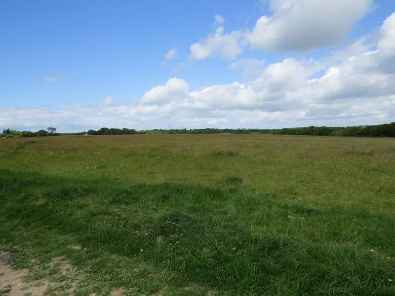
Maidensgrove Common
The lane heading into Maidensgrove
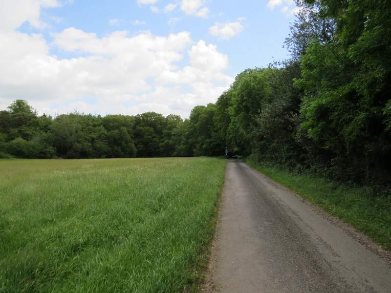
The start of the private drive in Maidensgrove
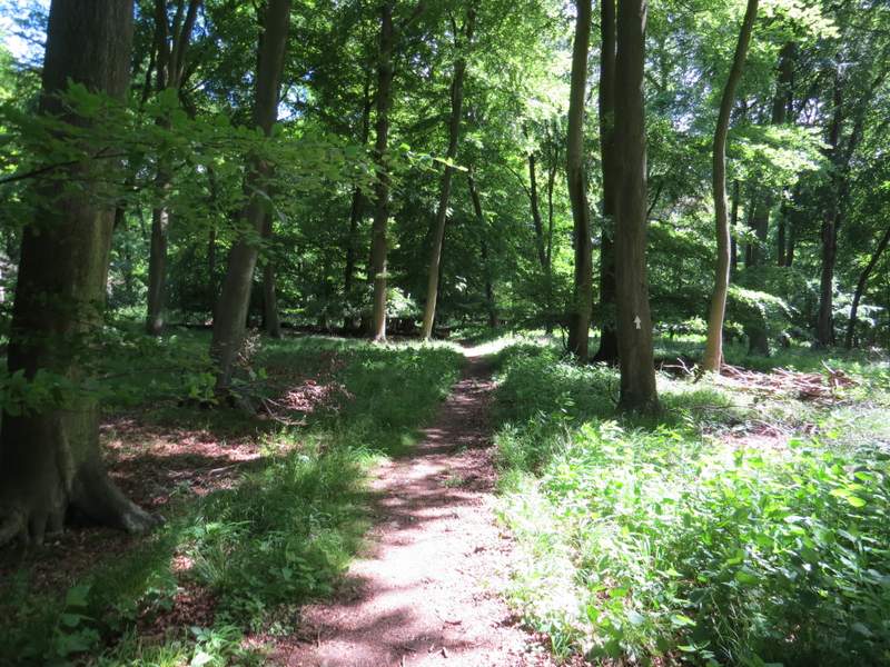
The path through Pishillbury Wood
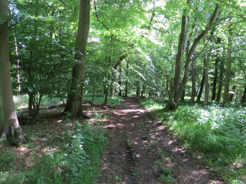
The path through Pishillbury Wood
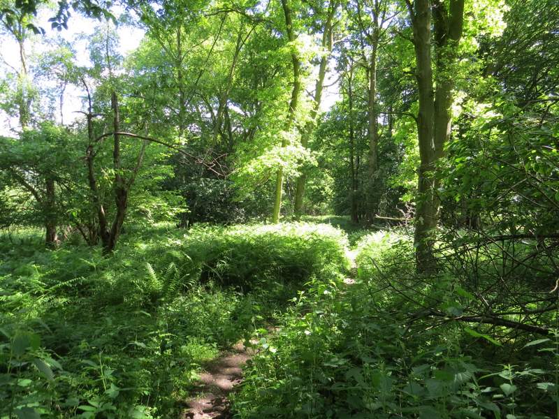
The path through Pishillbury Wood
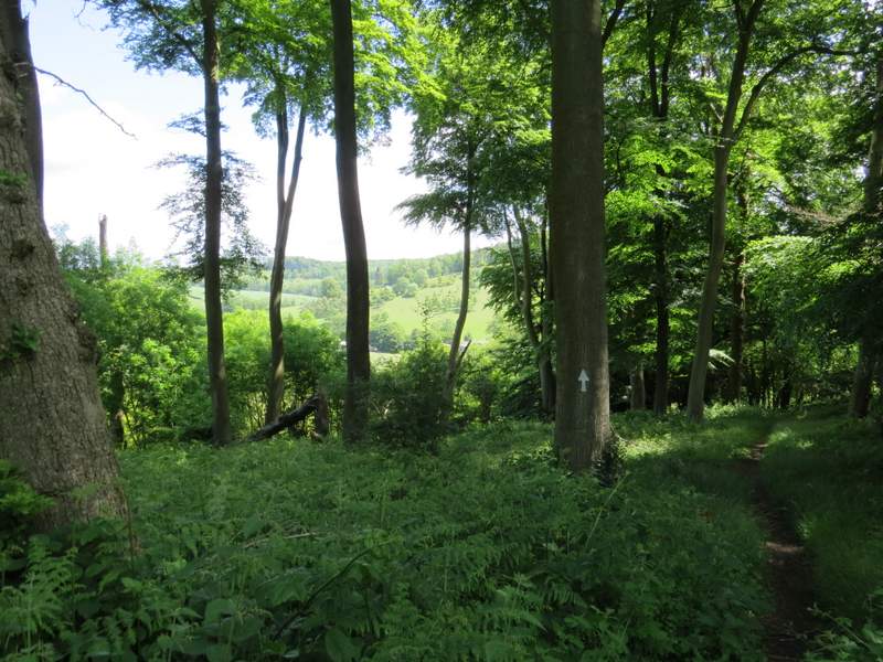
The path through Pishillbury Wood
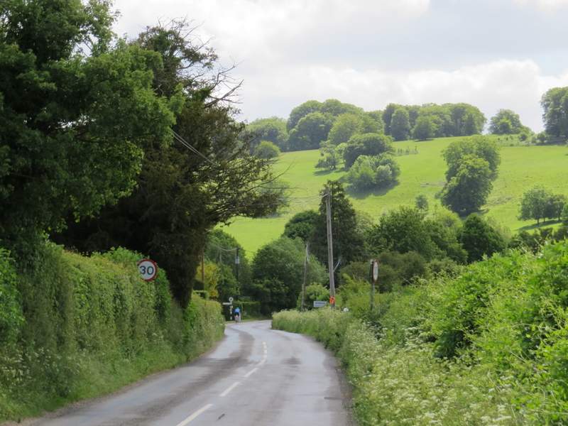
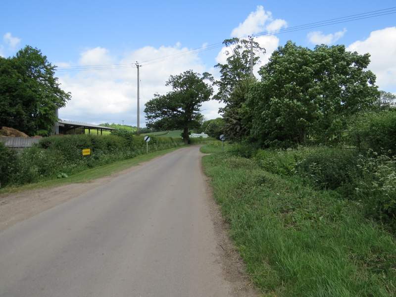
Almost as soon as I entered Stonor I turned left at a road junction and followed a minor road north out of the village - this was the start of the only bit of today's route that I'd not walked before. Soon I had part of Stonor Park on my right, and I could see some of the Fallow deer that inhabit it. I passed farm buildings on my left as I left the village, and then after another two or three hundred yards I turned left onto a bridleway that headed north towards Turville Park Farm. At first it was a good farm track running between cattle pastures and corn fields. I spotted my first Bladder Campion of the year along here.
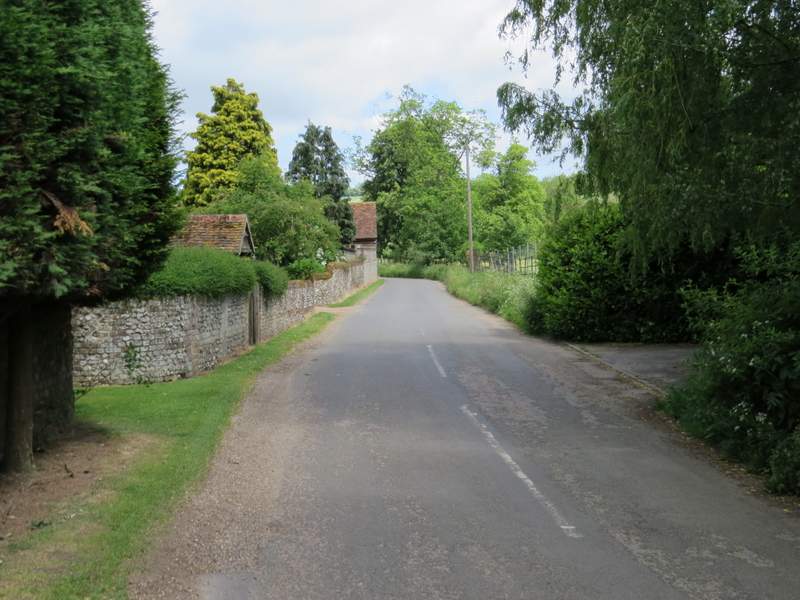
The road into Stonor
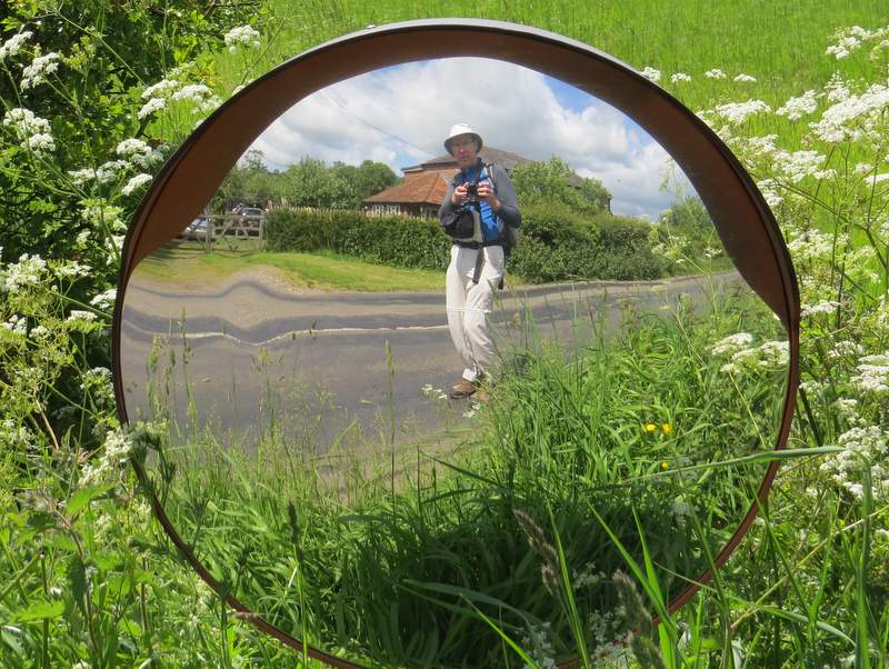
Self-portrait, Stonor
The minor road heading out of Stonor
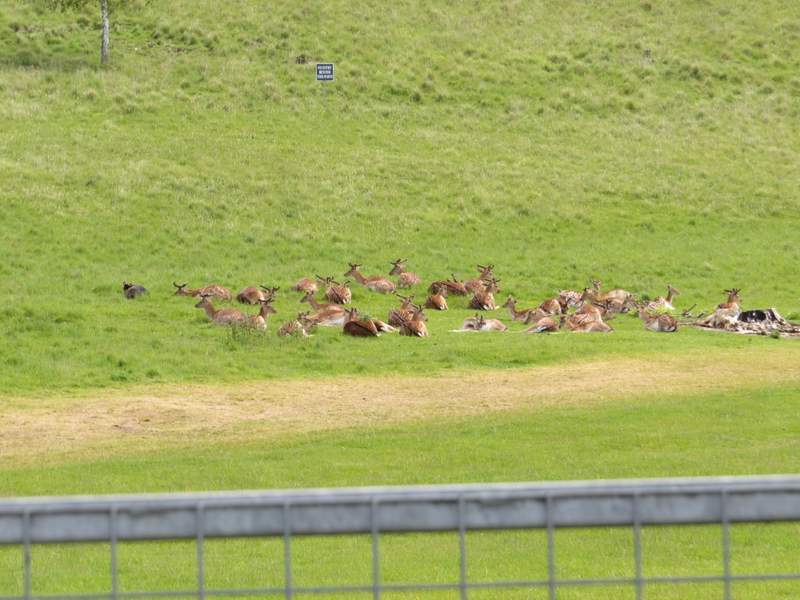
Fallow deer in Stonor Park, the deer park surrounding Stonor House
The path through Pishillbury Wood
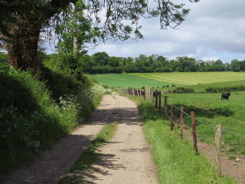
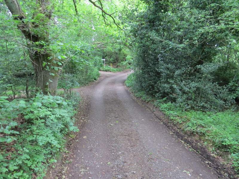
Start of the bridleway going north to Turville Park Farm
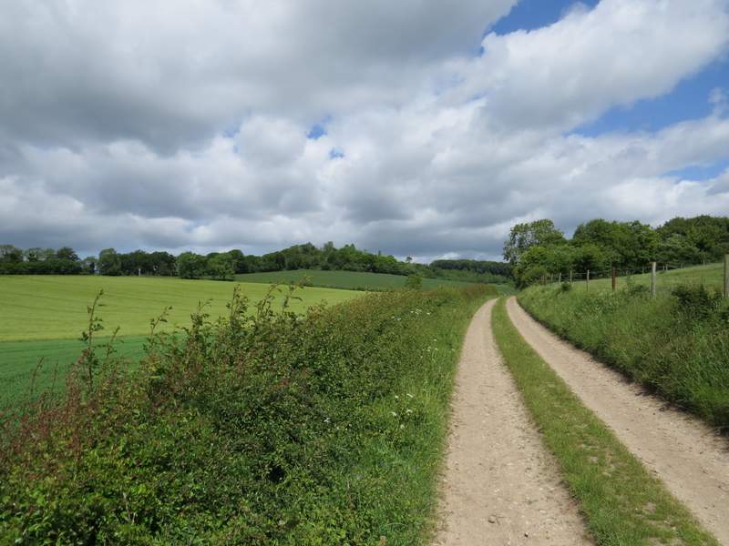
The bridleway going north to Turville Park Farm