Pete's Walks- Maidensgrove Common and College Wood (page 3 of 4)
If you are considering walking this route yourself, please see my disclaimer. You may also like to see these notes about the maps and GPX files.
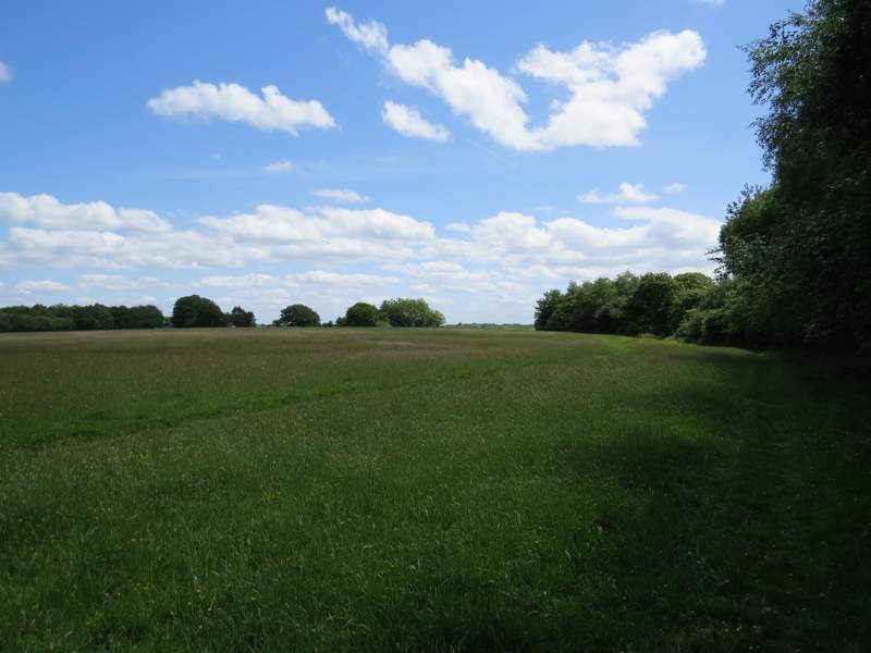
At one point the path came down into another small valley, where there was a view into a flower-filled meadow on the right. The path continued southeast-wards, now in Greenfield Wood. Further on still, it entered Shambridge Wood.
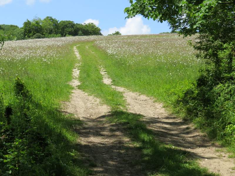
View of a flower filled meadow, looking right from near the boundary between College Wood and Greenfield Wood
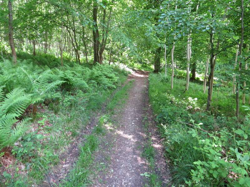
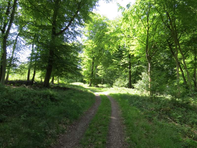
Greenfield Wood
Greenfield Wood
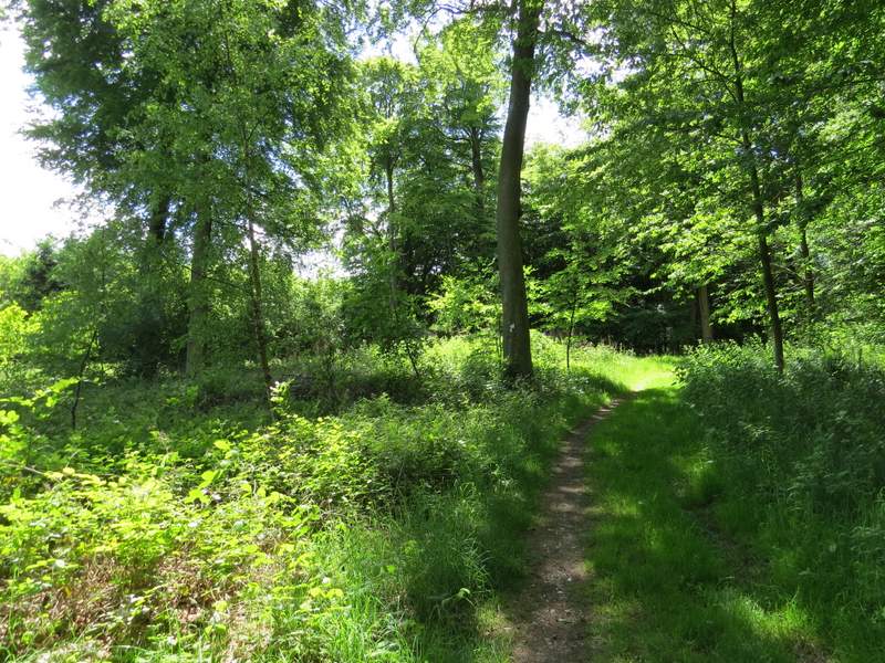
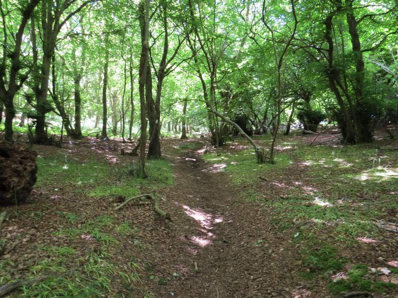
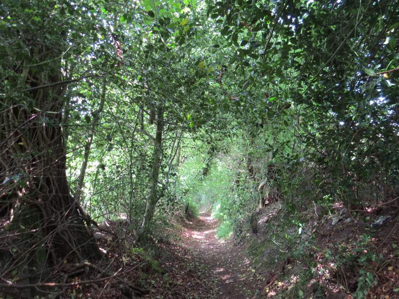
Not sure if this is still Greenfield Wood or is now Shambridge Wood
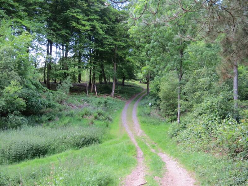
Shambridge Wood
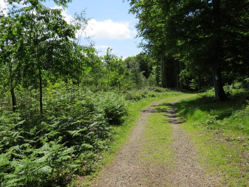
Shambridge Wood
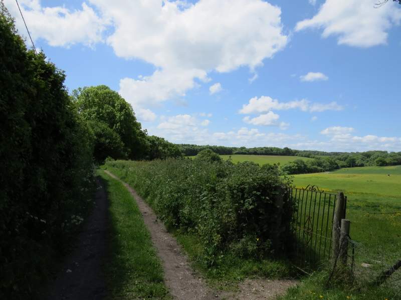
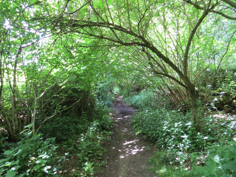
Eventually, after walking through the woods for almost a mile and a half I turned left onto a path not shown on the OS map, but clearly marked on the ground (well, marked by a white arrow on a tree, anyway!). This is a permissive path, that saves a short bit of road walking (the Chiltern Way continues straight on, then turns left along the road). I followed the path downhill to the road in Pishill Bottom, and continued on a path on the other side (now back on the Chiltern Way). This path led through trees to a corner of Russell's Water Common. I followed the right edge of the common until a bridleway went right, passing between some bushes then turning left and then right between some properties, to reach the pond that gives the village of Russell's Water its name.
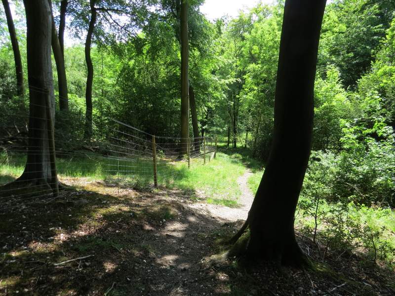
The permissive path in Shambridge Wood, heading down to Pishill Wood
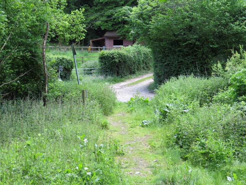
The end of the permissive path, with the path to Russell's Water Common starting across the road
The path to Russell's Water Common
The path going round the edge of Russell's Water Common
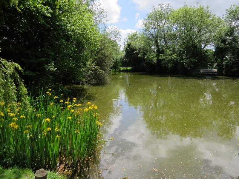
The pond that gives Russell's Water its name
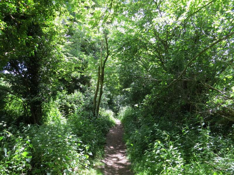
I then turned left along the narrow lane through the village, but soon turned right onto a bridleway. This was soon descending quite steeply between old hedges to reach a bridleway T-junction in the valley bottom, where I turned left (briefly leaving the Chiltern Way, though I'd soon be back on a different part of it).
Near the start of the bridleway from Russell's Water
The bridleway from Russell's Water
The bridleway along the valley bottom
The bridleway along the valley bottom