Pete's Walks- Pitstone Hill and Wigginton (page 1 of 4)
If you are considering walking this route yourself, please see my disclaimer. You may also like to see these notes about the maps and GPX files.
I did this circular walk of about 11.6 miles on Sunday, 21st June 2015. It was a repeat of my Pitstone Hill and Wigginton walk (Walk 4 of my Chiltern Chain Walk), but in the opposite (clockwise) direction - I chose this route because I wanted one that passed through lots of meadows and grassland where I'd be able to see plenty of butterflies and wildflowers (especially orchids).
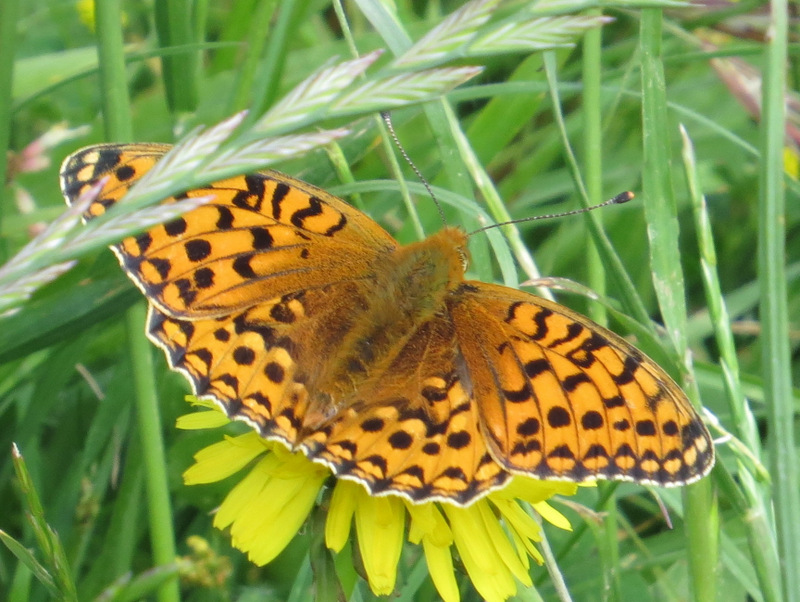
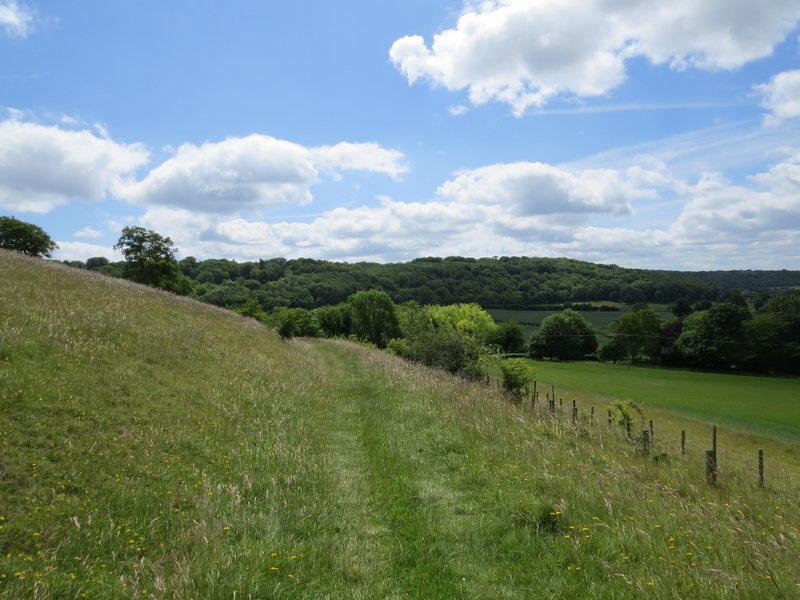
I started walking from the Pitstone Hill car park (Grid Reference SP 955149) at about 10.55am, crossing the lane and following the Ridgeway towards Steps Hill. When I reached a path crossroads at the foot of Steps Hill, I spotted a Dark Green Fritillary butterfly which kindly allowed me to take its photograph. I turned right here, initially following a fence on my right with a grass and scrub covered slope on my left - I soon spotted another couple of Dark Green Fritillaries. When the path curved slightly left and started to go uphill, I looked for orchids in the grassy area on my right - there were certainly many Common Spotted orchids and Pyramidal orchids here, but not as many as I'd expected and they were all probably a week away from being in full flower. The path continued between bushes to reach a stile, then carried on uphill through trees to reach the track that runs from near Ivinghoe Beacon to the Bridgewater Monument at Ashridge. I turned right, to head to the top of Clipper Down.
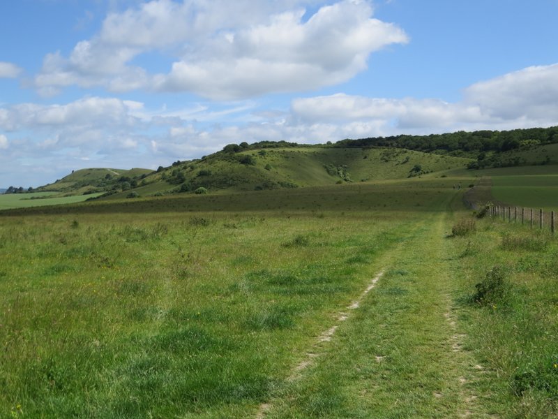
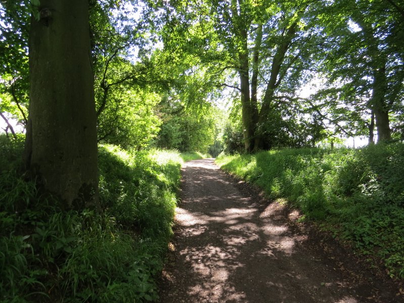
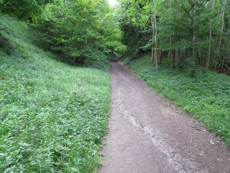
Following the Ridgeway towards Steps Hill
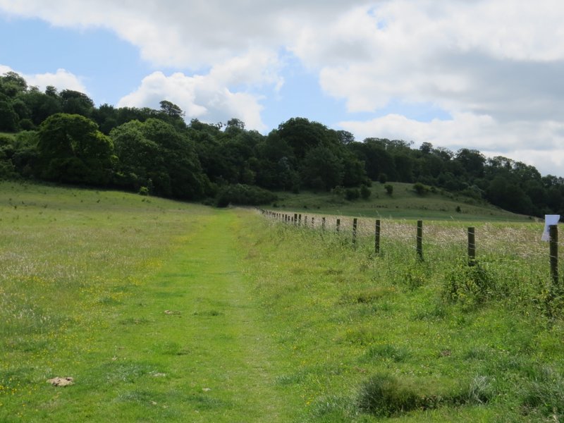
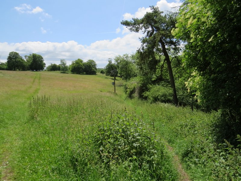
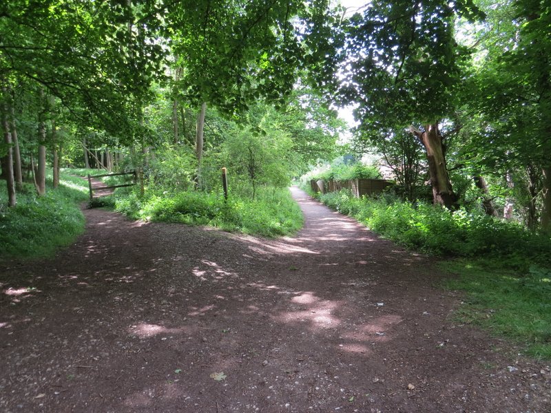
The path going right from the foot of Steps Hill towards Clipper Down
The path going right from the foot of Steps Hill towards Clipper Down
The track from Ivinghoe Beacon to Ashridge near the top of Clipper Down
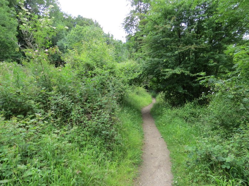
Just before reaching the kennels on Clipper Down, I took a path forking right. Over a stile, it followed some trees on my right, then continued downhill through a very large grassy meadow. Here I saw a large number of Fragrant Orchids, but again few were fully in flower. Over to my right, I could see Aldbury Nowers and Pitstone Hill which I'd reach at the end of my walk. At the foot of the hill, I went over another stile and down a short grassy track to reach a surfaced track or drive. I followed this left for about a hundred yards, then took a path going half-right across a corn-field. The path continued straight across a second corn field to reach a bridleway, where I turned left.
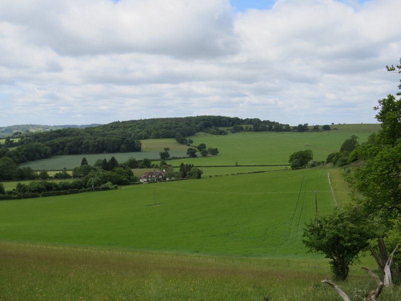
The path descending from Clipper Down
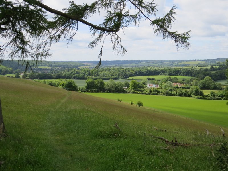
The path descending from Clipper Down
Looking left towards Aldbury Nowers
The path descending from Clipper Down
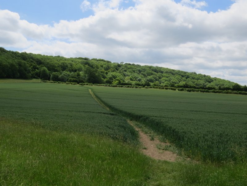
The path near Duncombe Farm
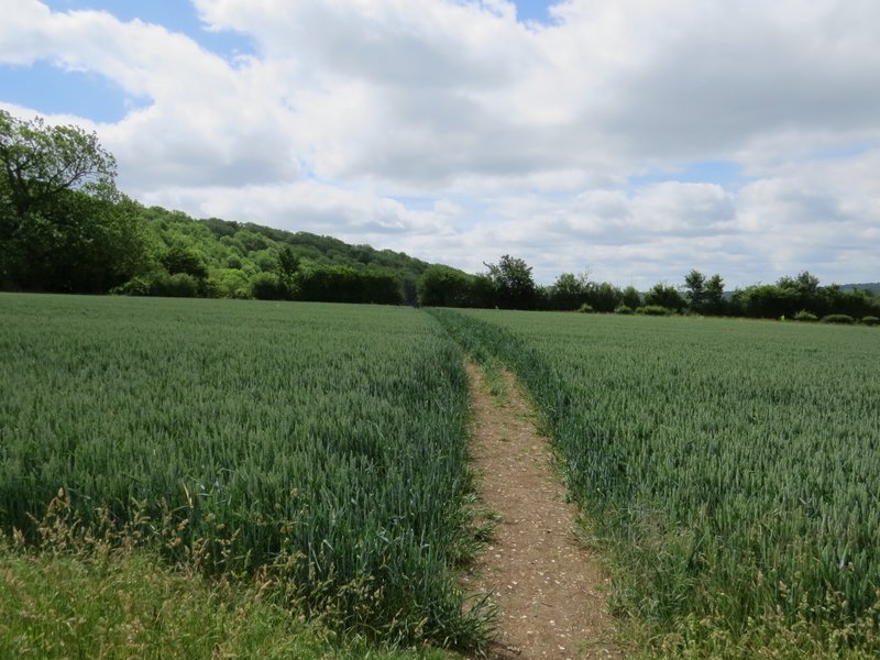
The same path continuing across the next field
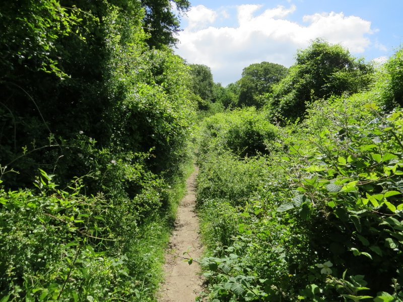
The bridleway led steadily uphill into the woods of Ashridge. Towards the top of the slope I reached a fork where I went right to continue along the bridleway which had now levelled off (the left fork leads towards the Bridgewater Monument). The bridleway passed a cottage on the right, then entered the woods again as it contoured round below where the Bridgewater Monument stands.
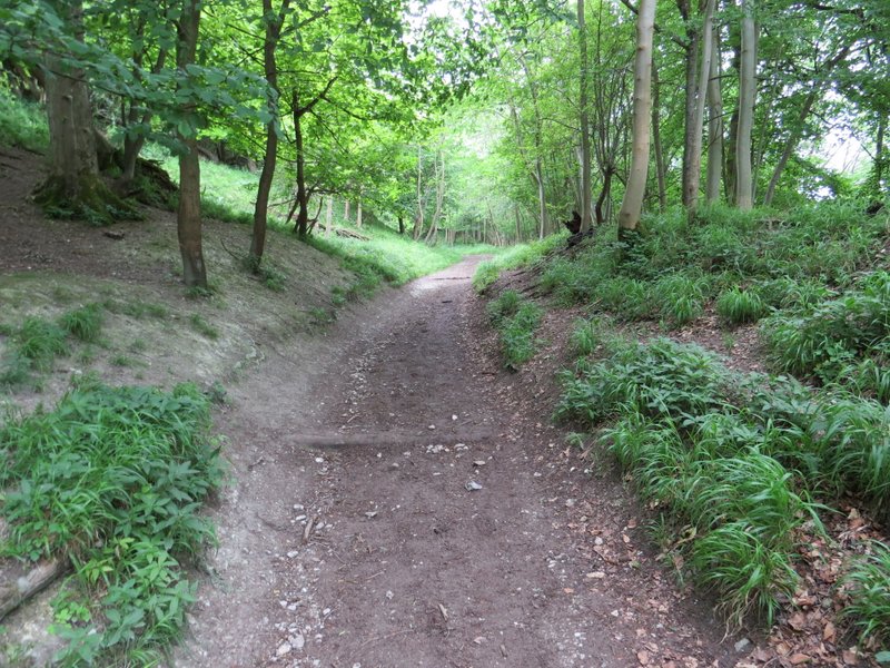
The bridleway heading up to Ashridge
The bridleway heading up to Ashridge
At this fork, I stayed right to continue on the bridleway - the path going left heads towards the Bridgewater monument at Ashridge
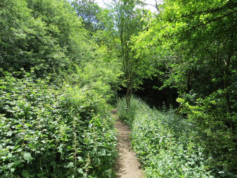
The bridleway contouring round below the Bridgewater monument
The bridleway contouring round below the Bridgewater monument