Pete's Walks- Wigginton and Drayton Wood (page 1 of 3)
If you are considering walking this route yourself, please see my disclaimer. You may also like to see these notes about the maps and GPX files.
I did this circular walk of about 6 miles on Monday, 29th June 2015. It was a repeat of the Wigginton and Drayton Wood walk I did in July 2013 (I actually repeated it sometime in 2014, but for some reason I didn't write it up for this web site).
I parked in the car park by a playing field in Wigginton (Grid Reference SP 938100) and started walking about 11.25am. Coming out of the car park I turned right along the road and followed it out of the village (spotting a Red Admiral butterfly along the way). A little past the last houses I took a footpath on the right, which crossed a long narrow cattle pasture, beyond which the path split in two - I went half-left across a wheat field. The path then cut through a corner of a meadow, then continued in the same southerly direction across another large meadow, where there were numerous Meadow Browns, to reach Roundhill Wood.
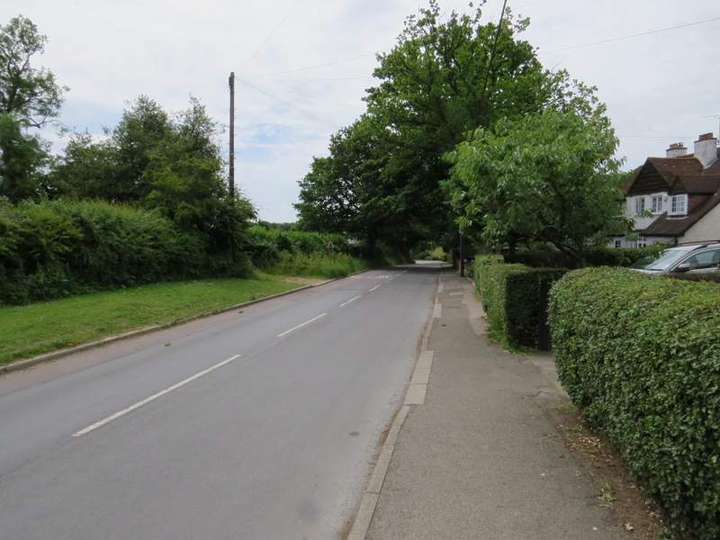
The road through Wigginton
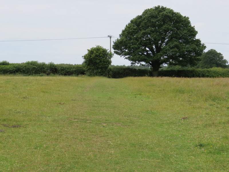
The first field, a cattle pasture
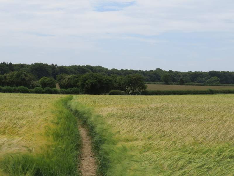
The path going half-left across a wheat field
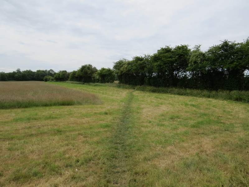
The path crossing a corner of the next field
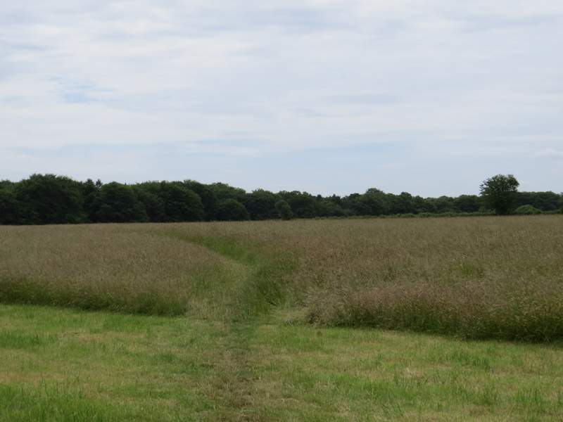
The path crossing the next field, heading to Roundhill Wood
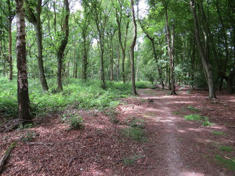
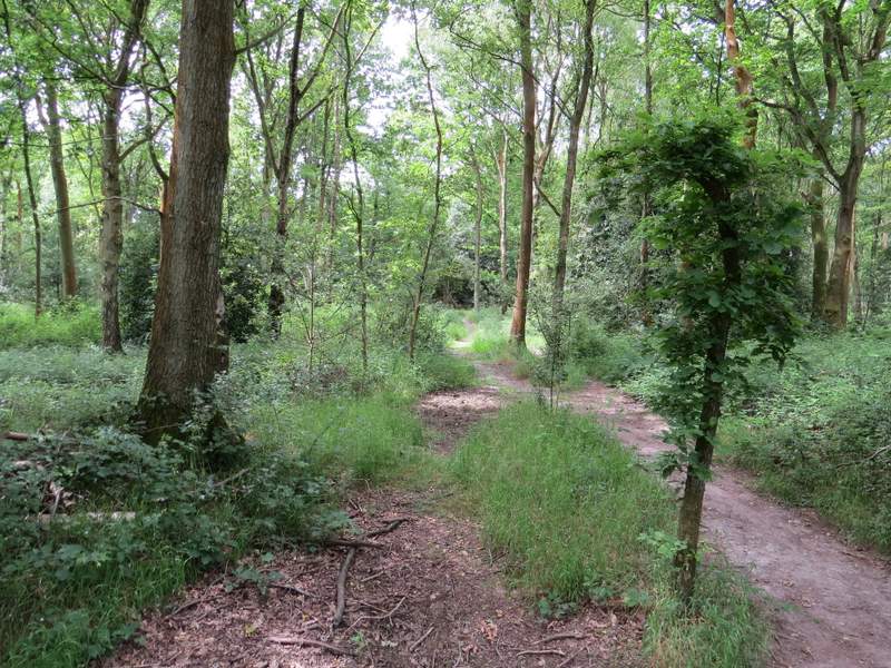
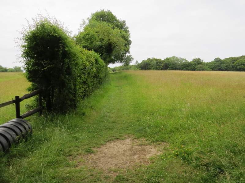
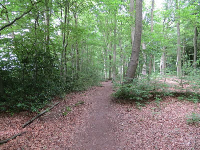
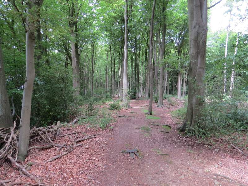
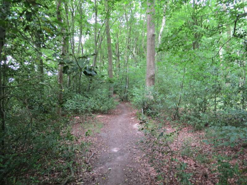
I turned right and followed a path just inside the edge of the wood (I could have taken a parallel path just outside the wood, the two paths merging further on by a gate). As I made my way through the wood, I spotted a few Speckled Wood butterflies. Across I lane, I entered another wood called High Scrubs - this was more open with several conifers amongst the deciduous trees. The path maintained its generally southwest direction as it crossed a byway near the edge of the wood, then followed a left-hand hedge through a meadow. There were still the show jumping fences in this hedge, though the tall grass in the fields either side showed there'd been no horses in here this year.
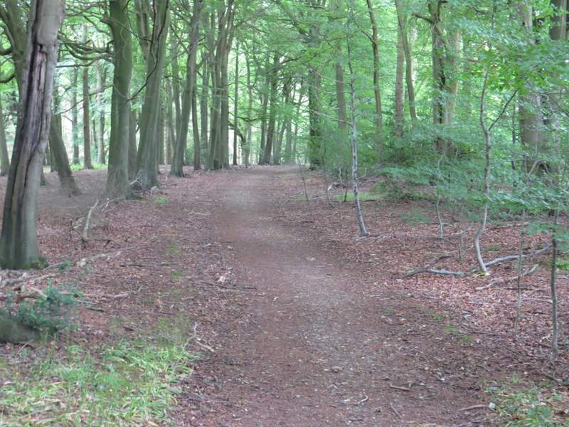
The path through Roundhill Wood
The path through Roundhill Wood
The path through Roundhill Wood
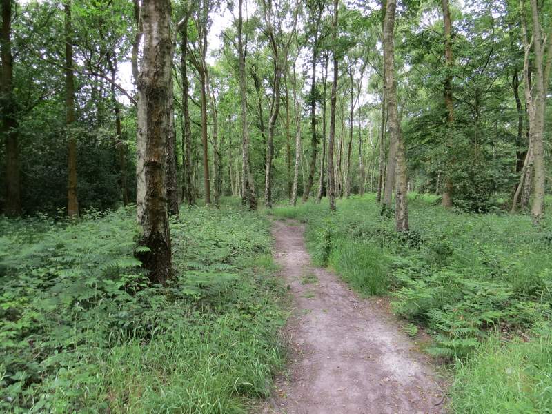
The path through Roundhill Wood
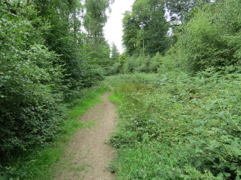
The path through High Scrubs
The same path continuing from High Scrubs to Shire Lane
I then went a few yards left along Shire Lane (the old boundary between Bucks and Herts) then took a path on the opposite side between some stables and a property name 'Montana'. I soon reached part of Drayton Wood, with paddocks on my left. At a path crossroads I went straight on. From previous sorry experience I know the paths hereabouts don't exactly match those shown on the OS map, but just following the path as it then soon turned right in a corner of the wood was straightforward (I was actually going straight on at a crossroads of paths here). The path continued just inside an edge of the wood on my left for some distance, until it ended at a bridleway.
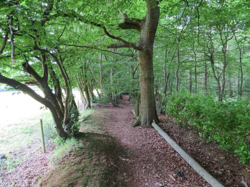
The path from Shire Lane along the southeast edge of Drayton Wood
The path going northwest along the edge of Drayton Wood
The path going northwest along the edge of Drayton Wood
The path going northwest along the edge of Drayton Wood