Pete's Walks- Bison Hill and Totternhoe (page 1 of 4)
If you are considering walking this route yourself, please see my disclaimer. You may also like to see these notes about the maps and GPX files.
I did this circular walk of about 7.3 miles on Saturday, 18th July 2015. It was a new route for me, although there was only one section that I'd not walked several times before as part of other routes.
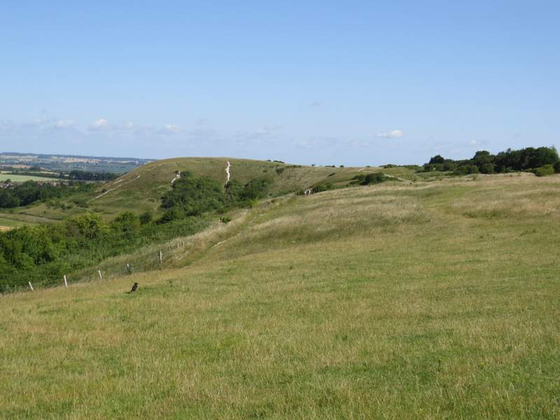
[UPDATE 28/01/2025 Unfortunately the car park at Bison Hill is now closed - you could pay to park near the Chiltern Gateway Centre on Dunstable Downs (free if a member of the National Trust, I think) and do the walk from there] I parked at the car park at Bison Hill (Grid Reference SP 999185 - curiously, it's not named on the map) in Whipsnade and started walking about 9.25am. I took the path leading out of the end of the car park for a few yards, then turned right at a path crossroads before turning left to reach a metal gate in the top corner of a huge pasture. Through the gate I followed the hedge on my right and after a couple of hundred yards, when the hedge and pasture bent to the right, I could see Dunstable Downs stretching out ahead of me. To my left I could see for miles over part of the Vale of Aylesbury. I carried on along the clear path along the top of the pasture (there were a number of sheep grazing in it), and after a while there was a wood on my right. I continued straight on along the path at a junction at the end of the wood, to reach a metal gate in the next corner of the huge pasture. As I went through the gate I passed from Whipsnade Downs to Dunstable Downs, at least I believe so.
The start of the path from the Bison Hill car park (I'd turn right in a few yards)
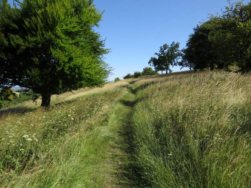
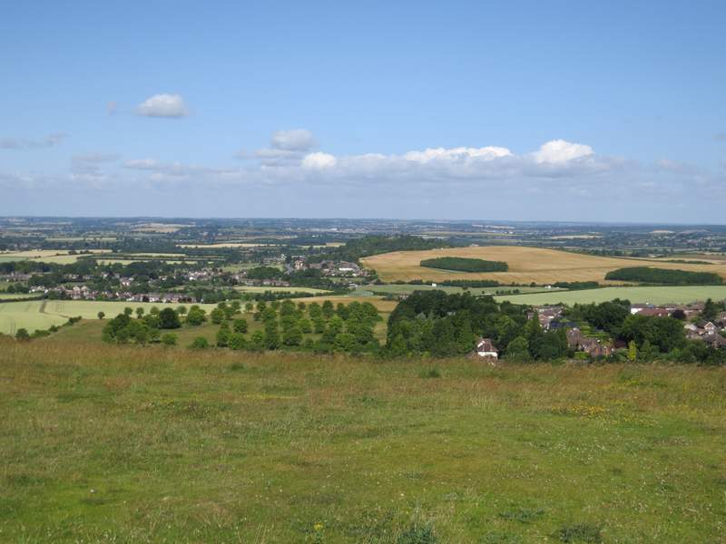
The path along the top of the huge meadow or pasture on Whipsnade Downs
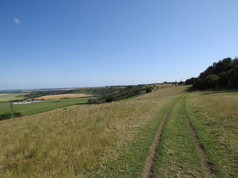
Looking ahead along the Whipsnade and Dunstable Downs
I carried on along the top of the Downs, initially with long grass and a few bushes on my left. On reaching a large area of shorter grass, not far from the Chiltern Gateway Centre over to my right, I went half-left across the grass to where the longer grass started again and continued my walk along the top of the Downs on this boundary between the shorter and longer grass - this was simply an attempt to avoid most of the many visitors that the Downs attract, not that there were too many people about just now. When the area of short grass ended I continued through an area of longer grass, and after going through a kissing-gate I joined the surfaced path the NT installed a few years ago. It was a real pleasure strolling along the Downs, with the spectacular views and several wildflowers and butterflies to add to the interest.
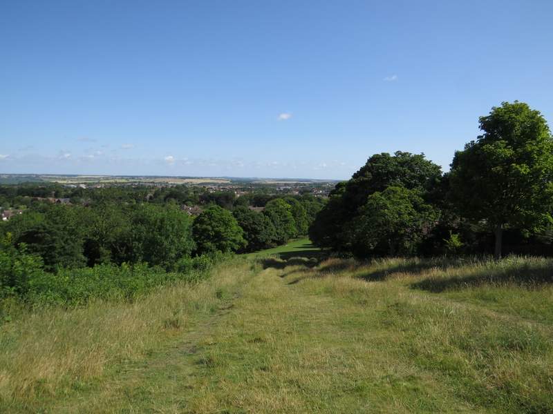
Continuing along the top of Dunstable Downs
Continuing along the top of Dunstable Downs
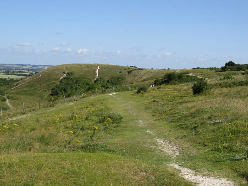
Continuing along the top of Dunstable Downs
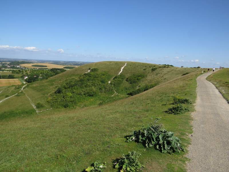
Approaching Orange Hill (again, not so named on the OS map)
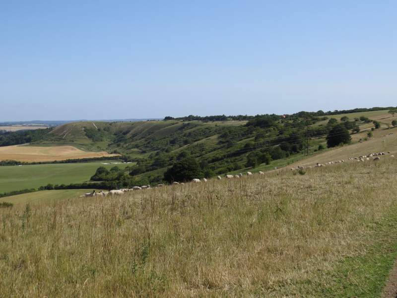
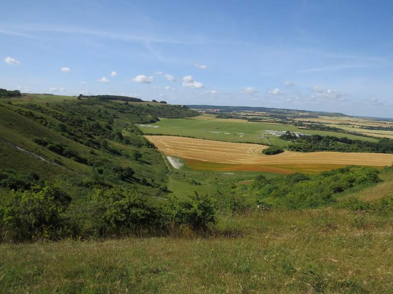
I turned left to reach the top of Orange Hill (so called locally after an old Easter tradition of rolling oranges down the hill for children to chase - for once I think 'health and safety' were right to stop it, I believe there were numerous injuries). I could look back along the Downs to Bison Hill where I'd started, and could see out to Totternhoe where I'd soon be heading. I then carried on past the Five Knolls burial mounds - I had to take a diversion round to the left of them, as they were fenced off to prevent further erosion. I then went down a long grassy slope to reach a road on the edge of Dunstable.
Looking back along the Downs from near Orange Hill - the white buildings are the London Gliding Club
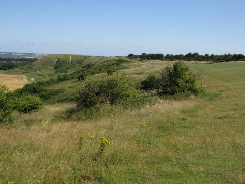
From Orange Hill, looking out towards Totternhoe
The path from the Downs down to Dunstable
I crossed the road at a pedestrian crossing, then went a few yards right before going through a small parking area and continuing down Green Lane, a hedge-lined trackway between residential areas either side. After a few hundred yards it left Dunstable and ran between arable fields. On reaching a track crossroads, I stopped briefly to admire a wooden board painted with a variety of butterflies with the message "Welcome to Totternhoe hills and lanes". I continued straight on, the chalky track being slightly narrower now, with Rosebay Willowherb and other flowers lining the hedgerows.
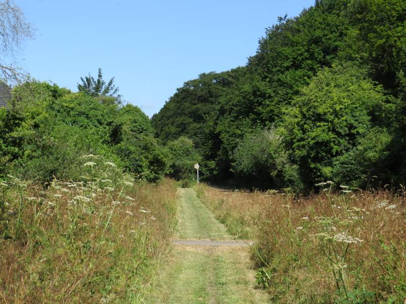
Green Lane, Dunstable
Green Lane, Dunstable
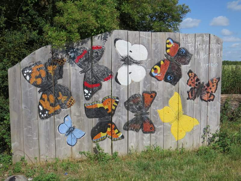
A nice Butterfly sign saying "Welcome to Totternhoe hills and lanes"
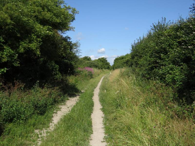
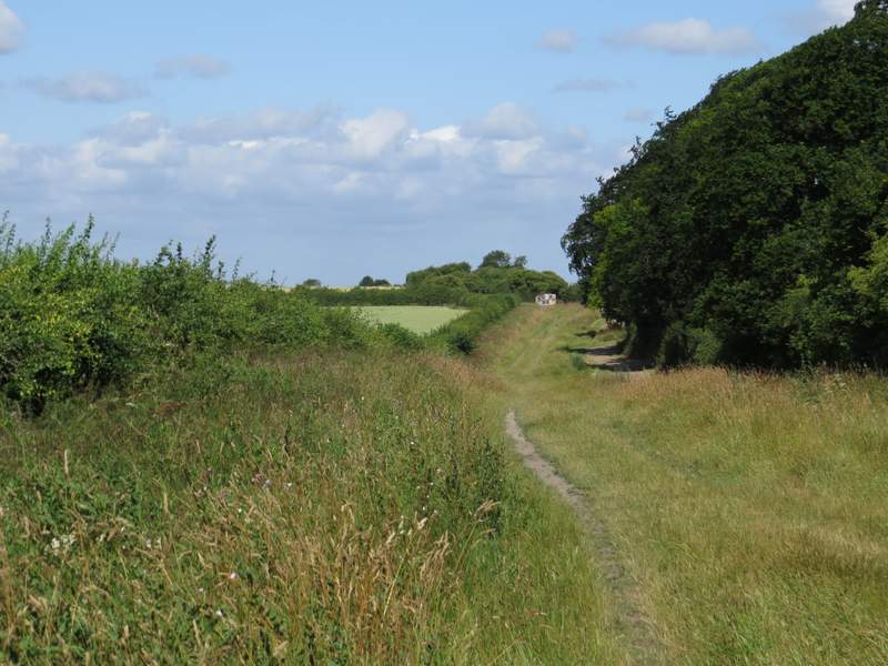
The track continuing towards Totternhoe
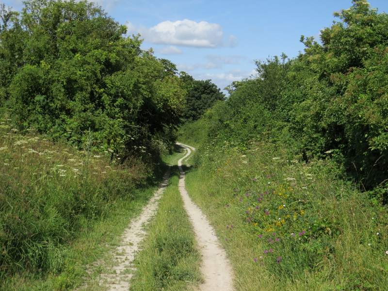
The track continuing towards Totternhoe
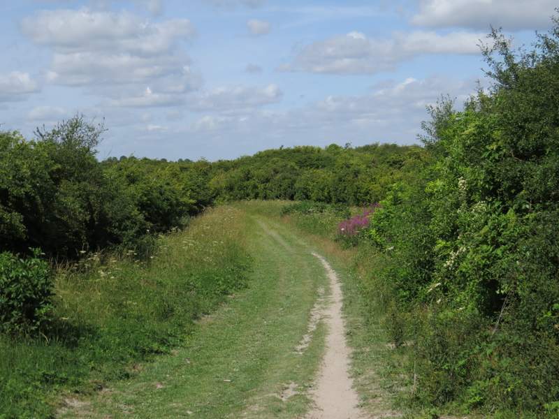
The track continuing towards Totternhoe