Pete's Walks- Bledlow and Radnage (page 1 of 4)
If you are considering walking this route yourself, please see my disclaimer. You may also like to see these notes about the maps and GPX files.
Google map of the walkDownload GPX file of the walk
I did this circular walk of about 8.5 miles on Saturday, 15th August 2015 (I hadn't walked for a couple of weeks as I'd had pains in my left leg and had had to try adjusting the orthotics, or special insoles, that I need to wear). It is one of my favourite shorter walks in the Chilterns which I've done three or four times before, but this was the first time I'd done it in the clockwise direction.
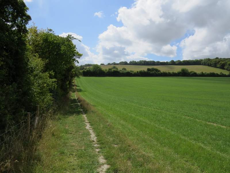
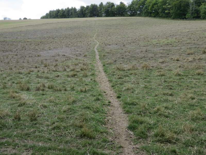
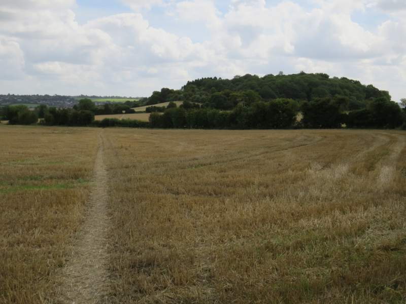
I parked by the church at Bledlow (Grid Reference SP 778022) and started walking about 11:25am. With the church on my right I continued down the road, passing two or three cottages on the left before taking a footpath on the left. Beyond some garden fences it followed the left edge of a large grassy field (I spotted my first Borage of the year amongst the grass). It continued along the same hedgerow through a second field, the path all the while rising very gently, and then went over a farm track or drive, before crossing a sheep pasture. On the far side of this, the path went through a tree belt and into a second sheep pasture - there were no gates here, and many of the sheep were sheltering from the sun in the trees. The path climbed more steeply now through this second sheep pasture.
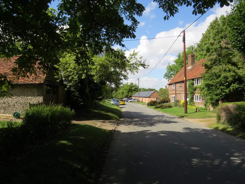
Bledlow, from close to where I turned left onto a footpath
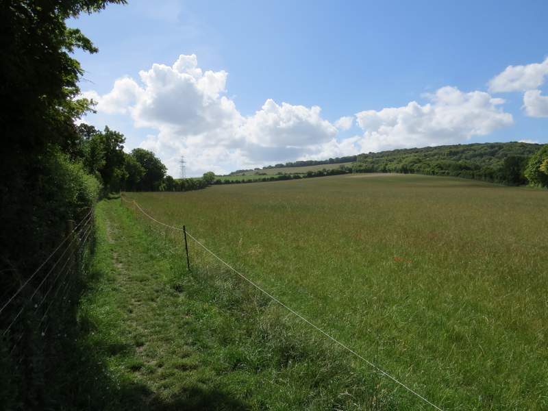
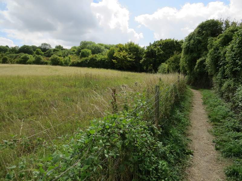
The footpath heading away from Bledlow
The footpath heading away from Bledlow
The first sheep pasture
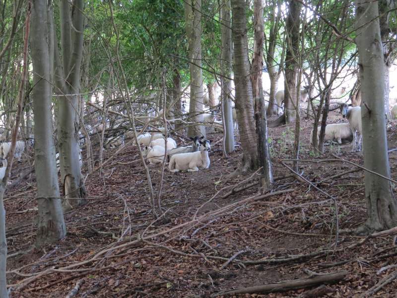
Sheep sheltering in the tree belt
The second sheep pasture
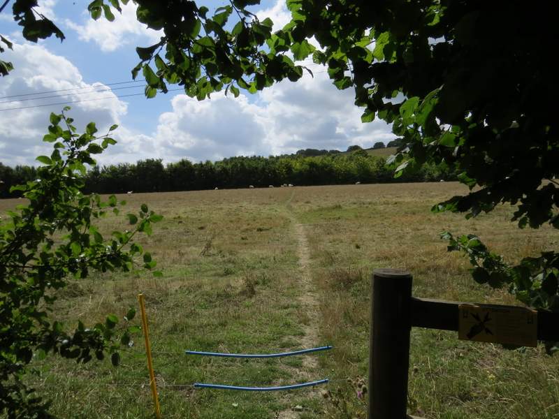
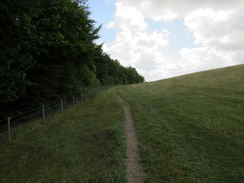
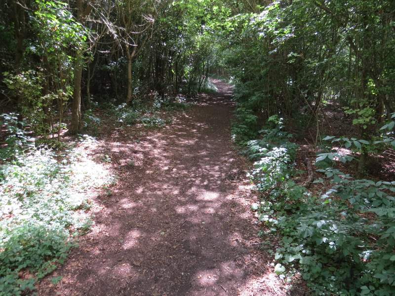
On the far side of the pasture, I went through a kissing-gate, and turned left along the edge of a large empty pasture, sloping up to my right. In the corner of this field, the path went through a gate on the left and continued along the other side of the fence-line. So far I'd been following part of the route of the Chiltern Way, but that now forked right. At the end of this field, I crossed over Wigan's Lane and continued on a path on the the other side, which crossed a couple of fields of stubble. Beyond these, the path went through a kissing-gate and turned right. Soon I was making my way up the wooded western end of Lodge Hill
The path after I turned left, towards Wigan's Lane
The path to Wigan's Lane
The path continuing on the other side of Wigan's Lane, heading towards Lodge Hill
Approaching Lodge Hill
The path going up Lodge Hill
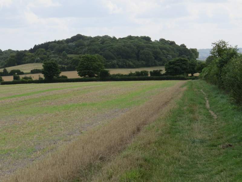
It was then a nice airy promenade along the top of Lodge Hill, with good views in almost every direction - to my left, I could see Whiteleaf Hill and out over the Vale of Aylesbury. At the end of the hill, the path dropped down quite steeply, with a view ahead over the Saunderton Valley to Loosley Row and Lacey Green on the opposite hillside.
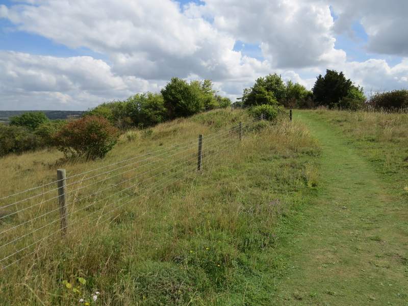
The path continuing along the top of Lodge Hill
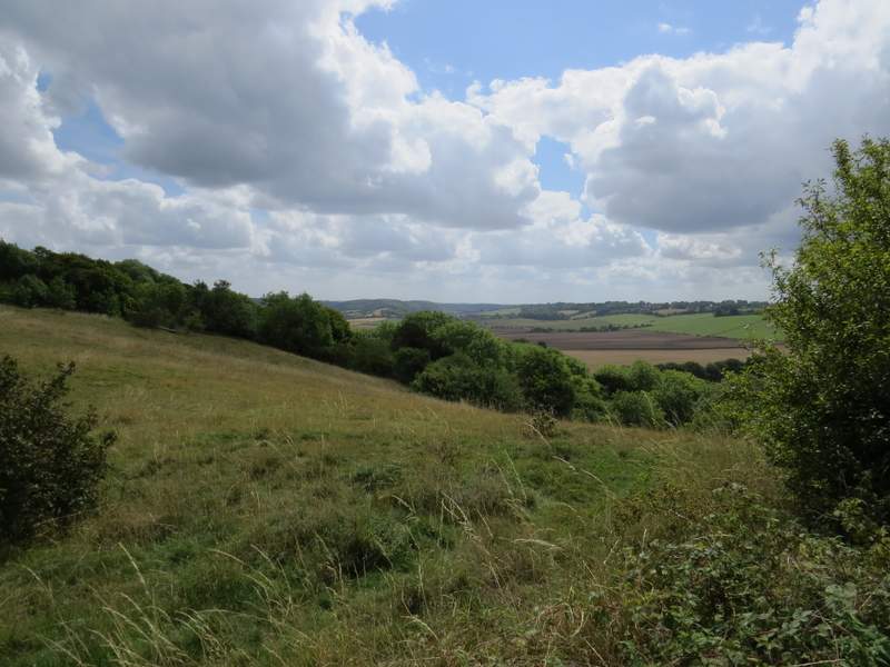
Looking south from Lodge Hill
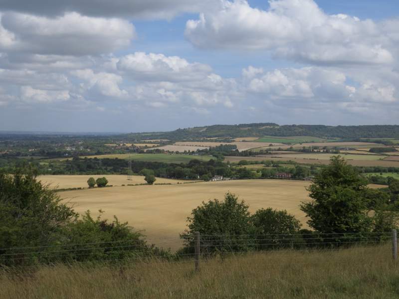
Looking northeast from Lodge Hill, towards Whiteleaf Hill (you can see the chalk carving of Whiteleaf Cross)
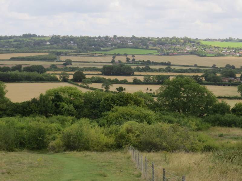
Descending eastwards from Lodge Hill, with Loosley Row and Lacey Green in the distance