Pete's Walks- Gaddesden Row and Briden's Camp (page 2 of 3)
If you are considering walking this route yourself, please see my disclaimer. You may also like to see these notes about the maps and GPX files.
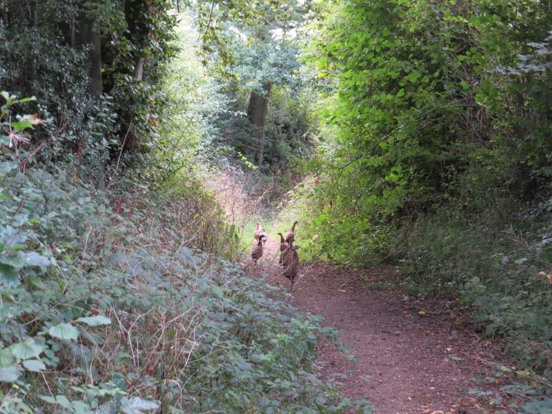
I followed the drive from Nirvana to a lane, where I turned right. After a while I passed Greenlane Farm on my right, and continued as the lane slowly descended to reach a T-junction with another lane. I went right again here, being careful as the narrow lane turned sharply left then right. I met five cars and a cyclist in the 100 yards or so I was on the lane, before I took a bridleway going left. A group of pheasants ran along the bridleway ahead of me for a while, as it ran through a belt of trees heading towards Holtsmere End Farm. At one point I passed a junction where a path forked slightly right (that being the route I've always used when I've been here before). Just before reaching the farm I turned right along a track - I might have committed a slight trespass here, as the map shows the bridleway starting a little further on and going across a corner of a field, but there was no evidence for this bridleway on the ground.
The drive from Nirvana
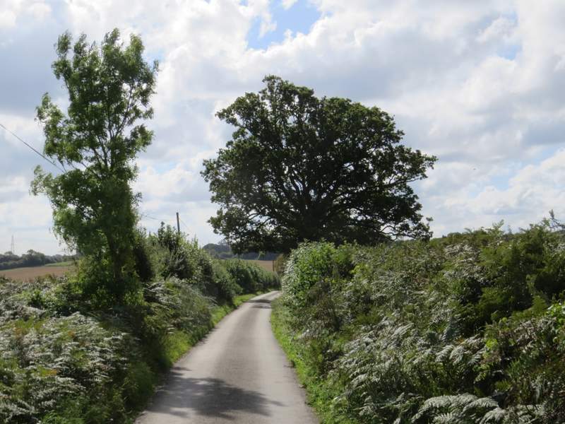
The lane going south, just after Greenlane Farm
The lane, approaching the T-junction where I turned right
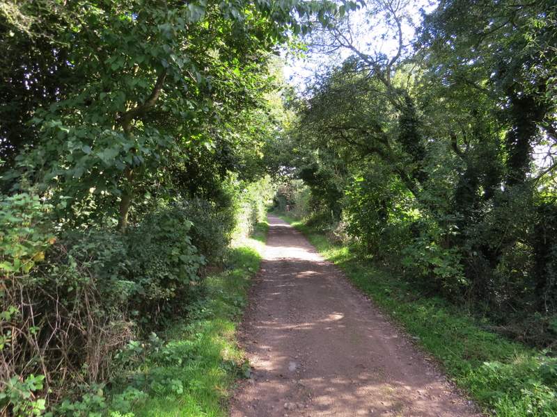
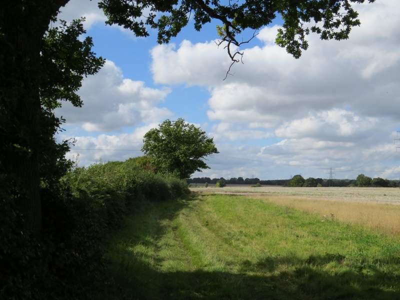
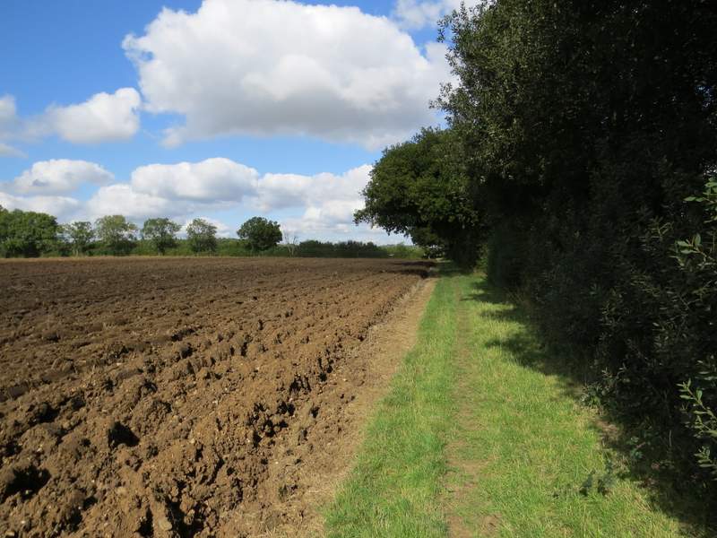
The start of the bridleway to Holtsmere End Farm
The bridleway to Holtsmere End Farm
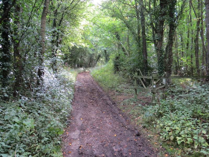
The bridleway to Holtsmere End Farm (previously I've always used the path going right here)
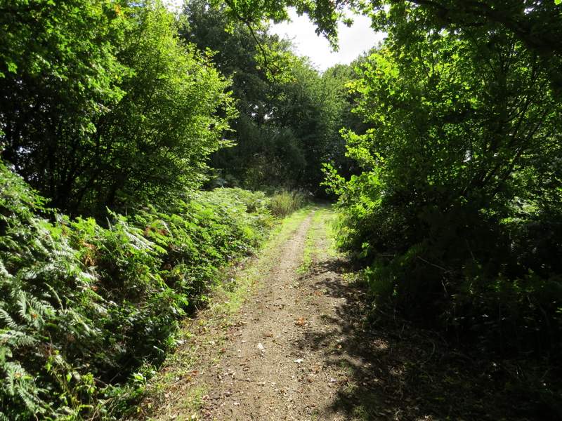
The bridleway to Holtsmere End Farm
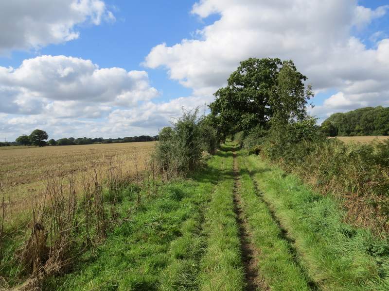
I was soon back on the bridleway shown on the map, which ran along a broad grass track with stubble fields either side. After about half a mile it started to descend slowly, following a hedgerow on the left. It passed a couple of paddocks on my right and reached Cupid Green Lane, close to Eastbrook Hay Farm on my left.
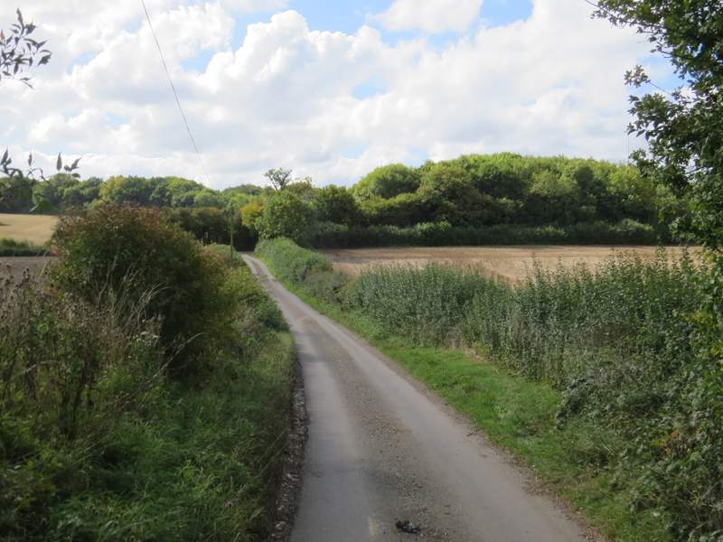
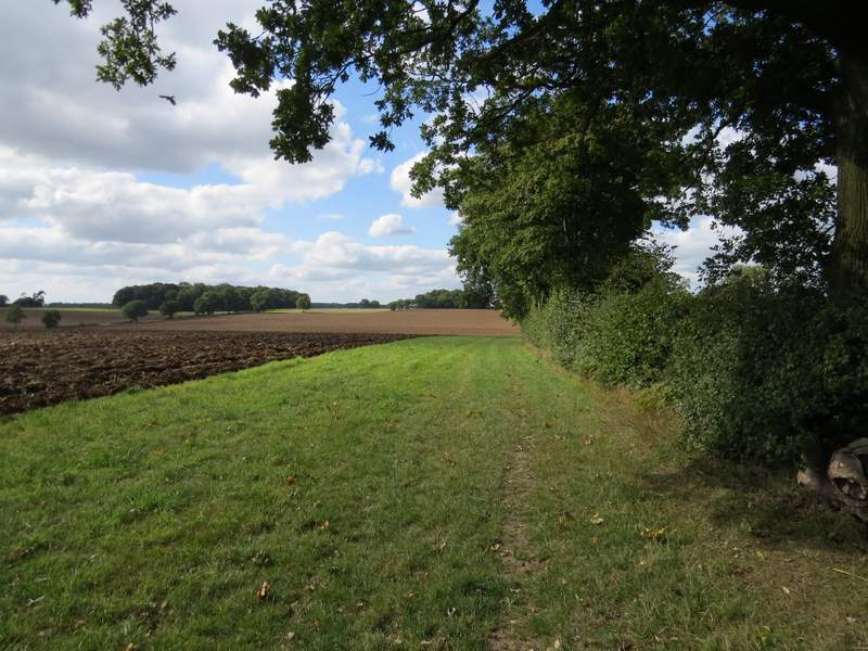
The bridleway going west from near Holtsmere End Farm
The bridleway going west from near Holtsmere End Farm
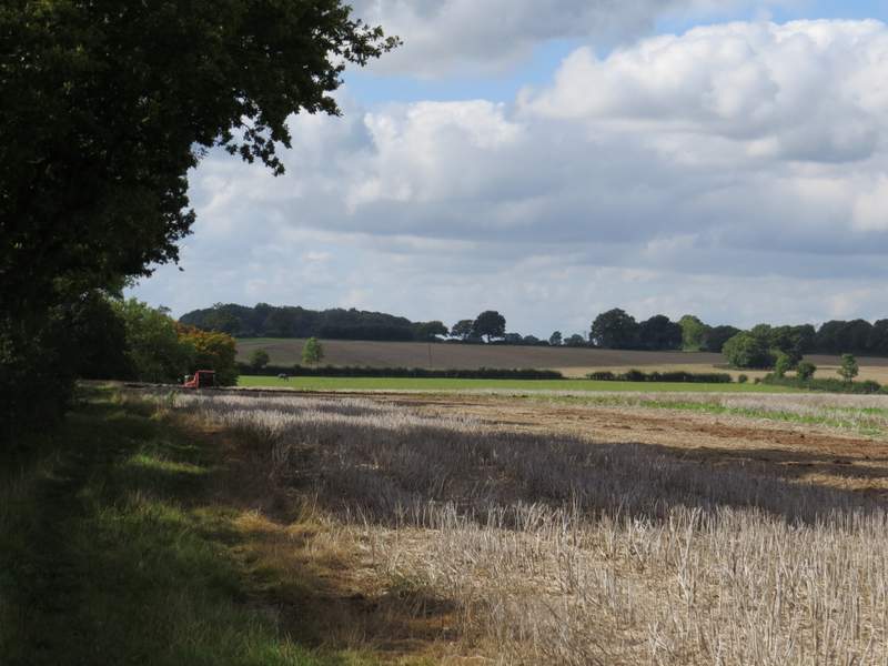
The bridleway going west from near Holtsmere End Farm
The bridleway going west from near Holtsmere End Farm
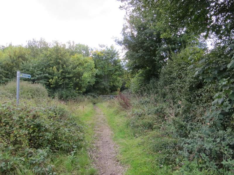
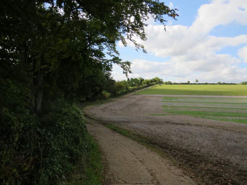
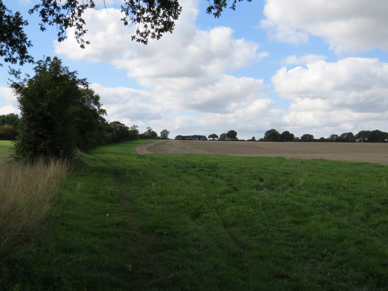
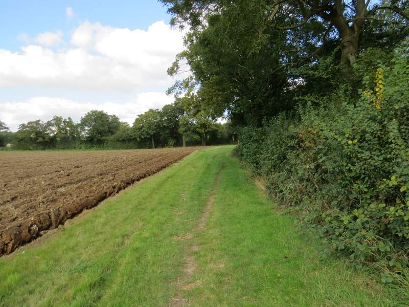
A fingerpost indicated where a bridleway to Water End started across the lane. It ran along a broad grassy strip next to a hedgerow on my left. After almost half a mile it turned right behind a hedgerow. It then went left in the next field corner, but after a few hundred yards followed the hedge on the right as it turned right. In the next field corner it came to a T-junction with another bridleway, where I turned left.
The start of the long bridleway towards Water End
The long bridleway towards Water End, after it turned right the first time
The long bridleway towards Water End, after it turned left the first time
The long bridleway towards Water End, after it turned right the second time
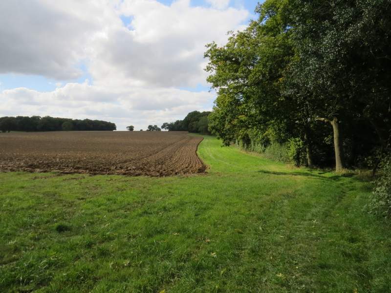
The long bridleway towards Water End, from where it turned left the second time