Pete's Walks- Redland End and Bryant's Bottom (page 3 of 3)
If you are considering walking this route yourself, please see my disclaimer. You may also like to see these notes about the maps and GPX files.
I turned right along the road. When it started to curve slightly right I went down a track on the left (I had now completed 'Alternative 1' on the Google map and was back on the route I walked in April) . The footpath soon went over a stile and continued ahead between hedges, and then followed the right edge of a field. The next field sloped quite steeply uphill, the path following the hedgerow on my right - there should have been good views back along the valley towards Hughenden, but not on such a grey and murky day as this. At the top of the slope the path went slightly left from what was now a wood on the right, to cut off a corner of the field. It then continued along a hedgerow on the right, which gradually turned slightly left to reach the edge of the village of Spleen.
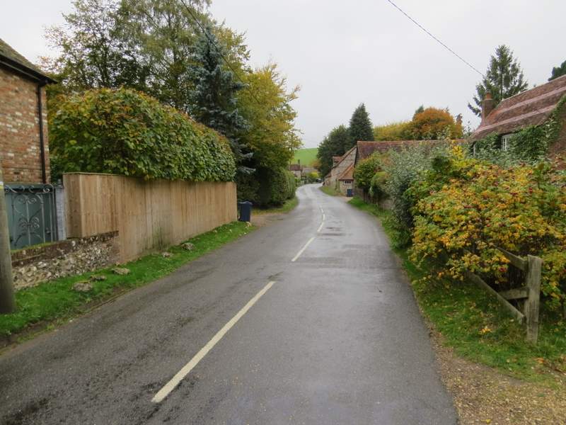
The road through Upper North Dean
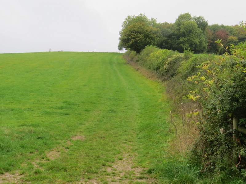
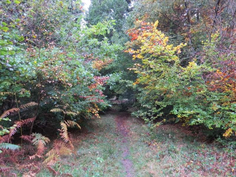
Near the start of the path from Upper North Dean to Speen
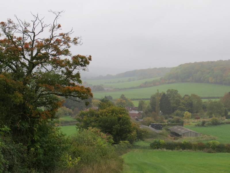
Looking back over Upper North Dean - it would have been a fine view on a clearer day
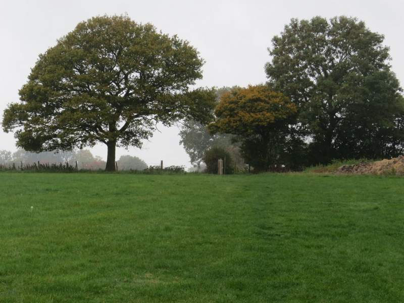
The path to Speen - it continues to the left of the hedge that ends in the middle of this shot
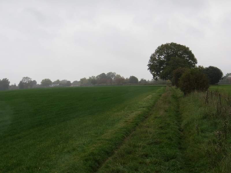
The path to Speen - you can see it curving left to reach the edge of the village
When I reached a gate, I turned right through another gate, following a path through some empty paddocks (I spotted a Green Woodpecker here) with the gardens of some properties in Speen on my left. The path continued through a small meadow, then between garden fences to reach a short roadway, where I turned left to reach a road. Across this, a footpath started through a garden gate ('Cherry Cottage' or something similar) and went along the bottom of three or four gardens, separated by small gates, and then down some steps to reach a rough track. I turned left and followed the track to its end at a road. Across the road I continued down another track or drive. After a property on the left, a bridleway continued along the very edge of Monkton Wood, with fields on my left.
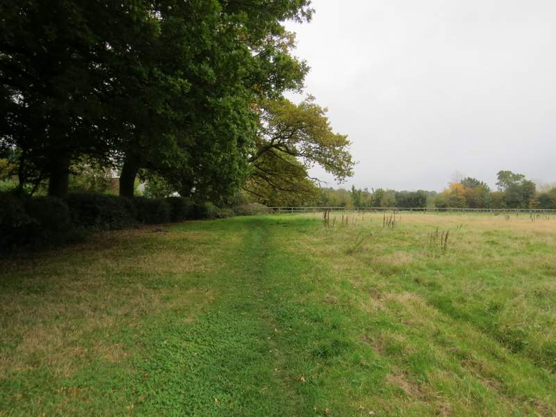
The paddocks on the edge of Speen
The end of the path through some gardens in Speen
The bridleway on the edge of Speen (next to College Plantation)
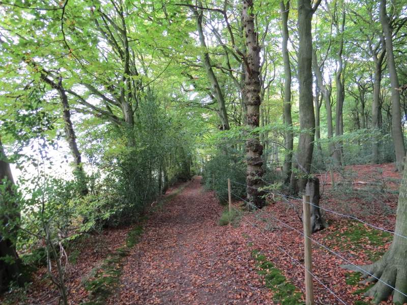
The footpath along the southwestern edge of Monkton Wood
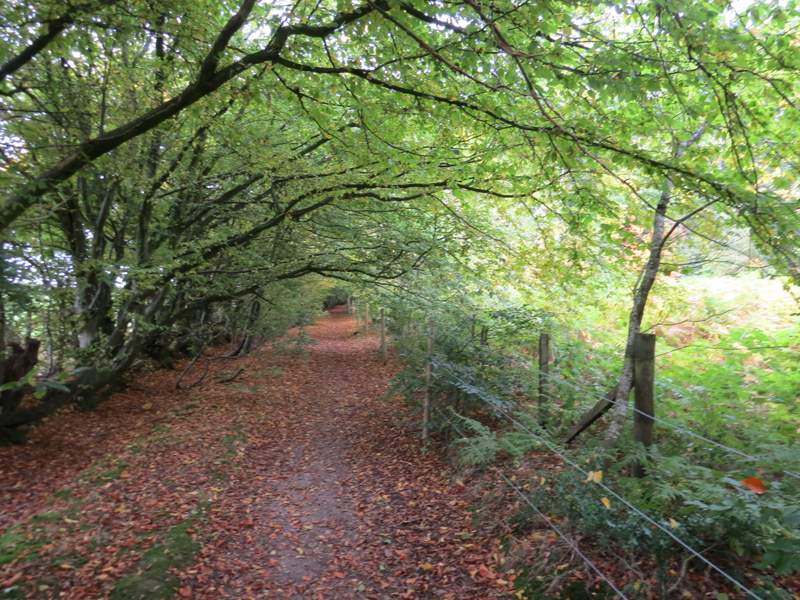
The footpath along the southwestern edge of Monkton Wood
After about half a mile I reached a bridleway crossroads. I turned right, but after just a few yards I forked half-left onto a footpath going north through Monkton Wood (UPDATE 29/05/17: This path now seems to have been corrected so that it matches what is shown on the OS map - don't turn right at the crossroads, go straight on for a short distance, then turn right). People had clearly been clearing holly from the wood, and for the first part of the path there was holly lying along each side. Further on I had to rely on faint white arrows on the trees for guidance. At one point there was no obvious path straight on, but the remains of an old track going slightly right - I wasn't sure which way to go, but followed the track. After a while I passed another tree with a white arrow on it (and one on the other side, for people coming the other way) so I seemed to have made the right decision. But a little further on I came to a sign saying 'Forestry operations in progress' and another saying 'Please rejoin path' with an arrow pointing left. I went a few yards left, to where there was a waymark sign and a clear path going right, toughly the northern direction I'd been following. Looking back south, there was no obvious continuation of the path, so I'm not sure if I'd gone slightly wrong or not. Anyway I continued along the path northwards. On reaching a gravel drive, I went a few yards left then resumed the path on the other side.
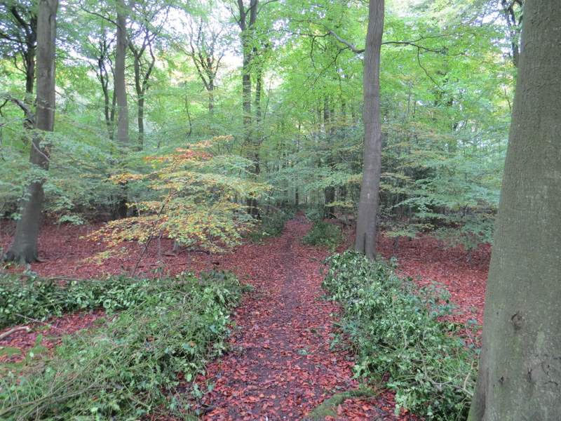
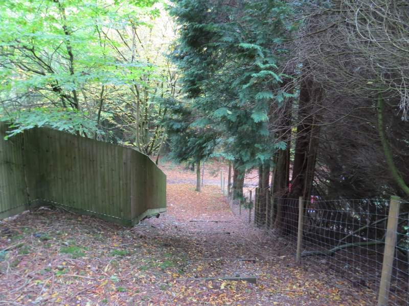
The start of the path going north through Monkton Wood
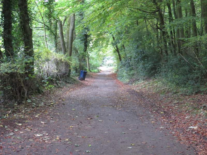
The path going north through Monkton Wood
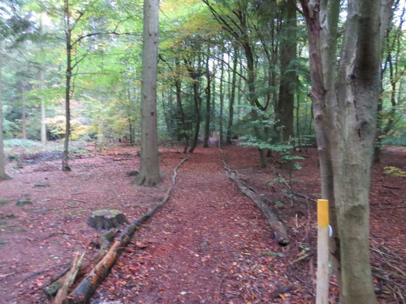
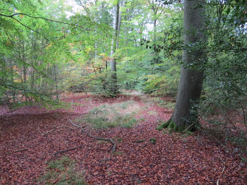
The path going north through Monkton Wood (just after the 'Rejoin path' sign)
The path going north through Monkton Wood
The path eventually reached the tarmac drive to Coppice House (a little to my left) - the path merged with another path coming from the right just before this. I turned right, and followed the drive to where it ended at a road junction. I crossed over and took a footpath going half-left (between two roads). I had to duck under a couple of low branches, then the path continued along a grassy strip with conifers either side. This path took me back to Redland End, just yards from my parked car.
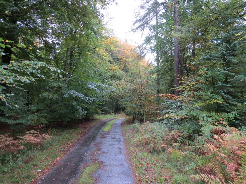
The drive from Coppice House
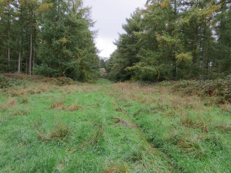
The path back to Redland End
Despite the grey and sometimes damp weather conditions, I enjoyed this walk. But I still think it's better the other way round, because that way you get the fine view along the valley from Upper North Dean towards Hughenden. I definitely need to come back and do one or two more walks in this part of the Chilterns, which through ignorance I have so far woefully neglected.