Pete's Walks- Cadmore End, Ibstone and Turville (page 3 of 3)
If you are considering walking this route yourself, please see my disclaimer. You may also like to see these notes about the maps and GPX files.
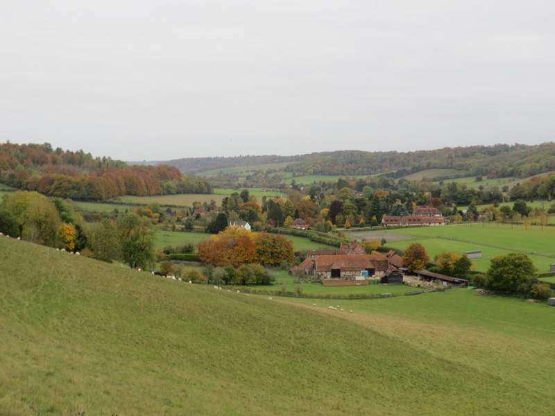
The path took me back to Holloway Lane, where I turned right and immediately entered the village of Turville (as I've mentioned countless times before, it was used as the main setting in 'The Vicar of Dibley' and has been used as a location in numerous other TV and film productions). Just past the church and before I reached the Bull and Butcher pub, I took a footpath on the left. This was soon running between fences, with a steep slope of grass and scrub rising up ahead of me, surmounted by Cobstone Mill (another popular TV and film location, it was the windmill in Chitty Chitty Bang Bang). Beyond a gate I followed a fence on my right, this now being one of the steepest sections of path I've come across in the Chilterns. This very steep part wasn't too long though and so was soon over. After the gradient eased slightly the path beside the fence became more and more overgrown, and eventually I had to go a few yards left through bushes before continuing uphill to reach a minor road.
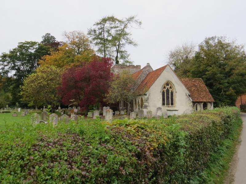
Turville church
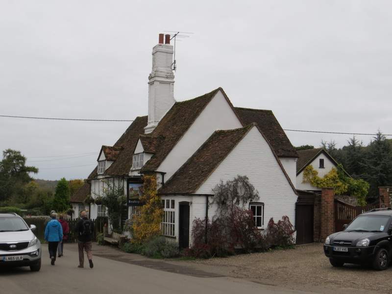
The Bull and Butcher pub, Turville (I turned left just before reaching the pub)
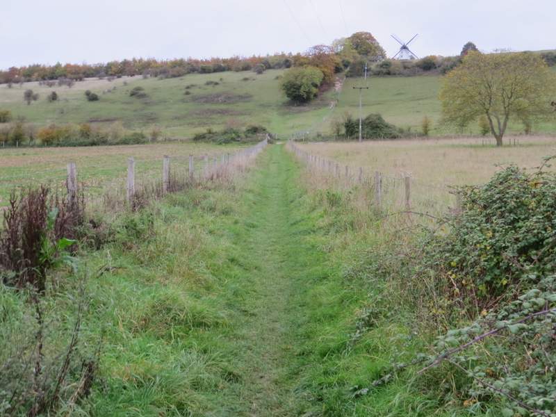
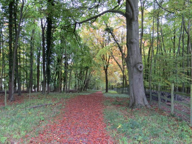
The path from Turville to Cobstone Mill
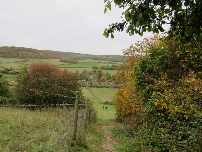
Looking back down to Turville - the path drops so steeply, much of it can't be seen from here
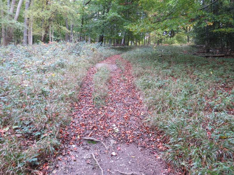
Across the road (and a few yards to the right) another path started downhill through a wood, with fences either side. After a while a waymark indicated where the path went through a gap in the fence on the left - I was a bit confused, as I'm sure I've always continued by the fence on the right here. The OS map seemed to indicate the waymark was correct, so I went that way, the path continuing downhill through the wood and then across a meadow to a corner where it merged with a bridleway. As I followed the bridleway a few yards through some trees, another path came in on my right, with a waymark pointing that way - that is the way I've always been before. I'm not sure the waymark is correct though, unless there are now two parallel paths, as the path I used was the only one on the OS map. Anyway, I continued the remaining few yards along the bridleway to reach a lane (actually this is Chequers Lane again, which I'd been on very briefly much earlier in the walk).
The start of the path from Cobstone Mill to Chequers Lane
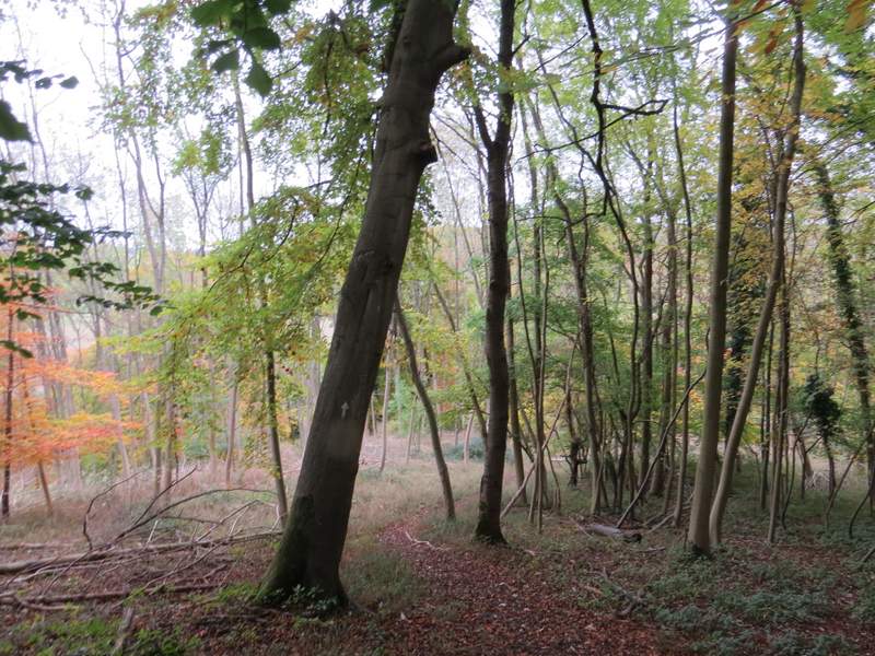
The path from Cobstone Mill to Chequers Lane
The path from Cobstone Mill to Chequers Lane
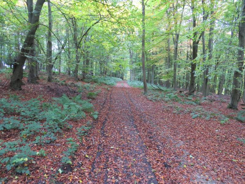
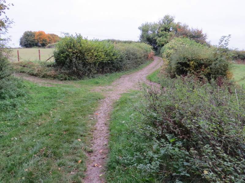
I turned right along the lane for a hundred yards or so, then turned left on a path that followed a wooden fence on my right and rose steeply uphill to reach Hanger Wood. I must admit that this was a bit of a struggle, coming so soon after the steep climb to Cobstone Mill. This path wasn't quite so steep, but seemed to go on much longer. It continued uphill through the wood, before levelling out. I was now careful to follow the white arrows and other footpath signs - the right of way goes straight on at a left turn in a track, then crosses over the track (which has turned right) and continues to a T-junction with another track (carrying a footpath from Fingest). I turned left along the path - on the edge of the wood it ended at a junction with a bridleway where I went left (more or less straight on). The bridleway ran along along a hedge-lined track, which I now followed the few hundred yards back to Cadmore End. Here I turned left in front of the church yard to return to the car park where I'd started.
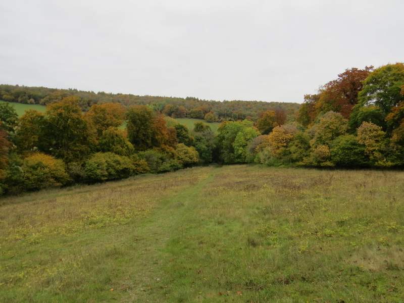
The path from Chequers Lane to Hanger Wood
Looking right towards Fingest - this gives a better impression of the steepness of the path
The path continuing through Hanger Wood
The path after I turned left in Hanger Wood
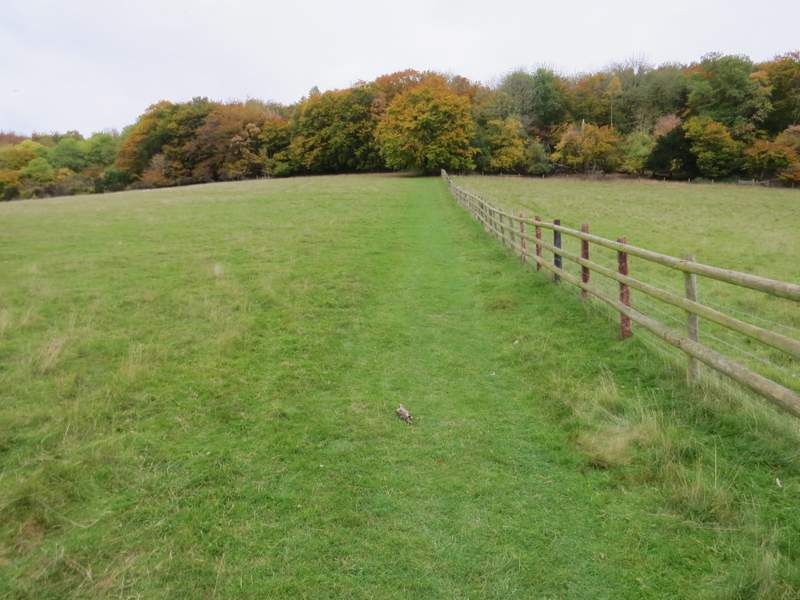
The bridleway from Hanger Wood to Cadmore End
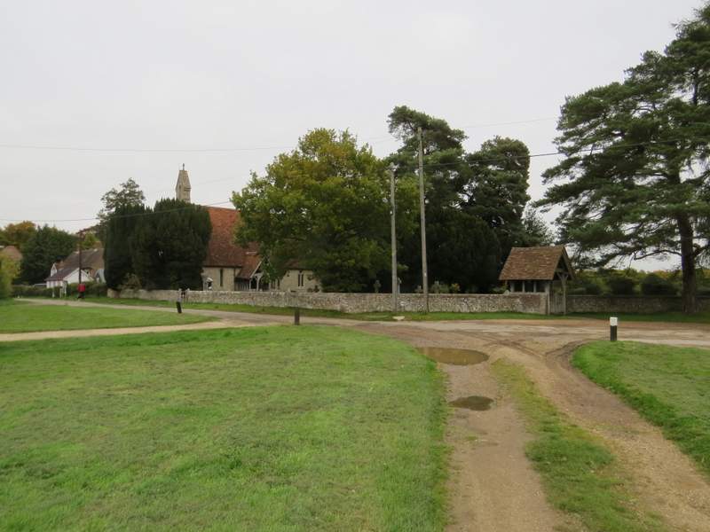
Cadmore End
The walk had taken me just over three and a half hours, rather slow for just 8.6 miles. But then the two steep hills had slowed me down, and the fact is I'm nowhere near as fit as I used to be.
It had been grey and rather gloomy throughout the walk, but it stayed dry throughout, which is all you can really hope for at this time of year. The golds, yellows and reds of the trees certainly added to the enjoyment of the walk, as did hearing the bellowing of the Fallow deer during their 'rut'. I thought it was a good route, with several ups and downs and a large percentage of woodland walking. But as I'd always suspected, I still think I prefer it in the opposite direction, just to avoid having those two steep uphills at the end. One day I might try a shorter version of the walk, taking a more direct route from Cadmore End to Twigside Bottom, missing out the section north of the M40.