Pete's Walks- Bradenham and Studley Green (page 1 of 4)
If you are considering walking this route yourself, please see my disclaimer. You may also like to see these notes about the maps and GPX files.
Google map of the walkDownload GPX file of the walk
I did this circular walk of about 8 miles on Sunday, 8th November 2015. It was a new route for me, though were there only a couple of miles or so that I'd never done before on other walks (and another mile and a half I'd only walked once before, in the opposite direction).
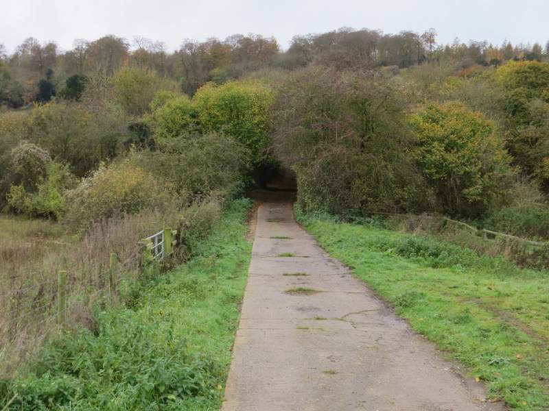
I started walking about 11:15am, from the car park at Bradenham (Grid Reference SU 827970). The first part of the walk, from Bradenham to Chorley, would be the reverse of part of the West Wycombe, Green End, Bradenham, Downley walk I did in early May, and this would be the first time I'd walked it in this direction. I went back down the track from the car park, with the large village green on my right, and then turned left along Old Rectory Lane at the end. There were several Red Kites flying here, and I would continue to see these delightful birds throughout most of the walk. The end of the lane was blocked to traffic, but I could walk straight on to reach the A4010 main road. After going a short distance to the left, I went down the drive to Averingdown Farm on the other side of the road (a green fingerpost indicated the right of way). The concrete drive soon went under a railway bridge, then went quite steeply uphill to the farm.
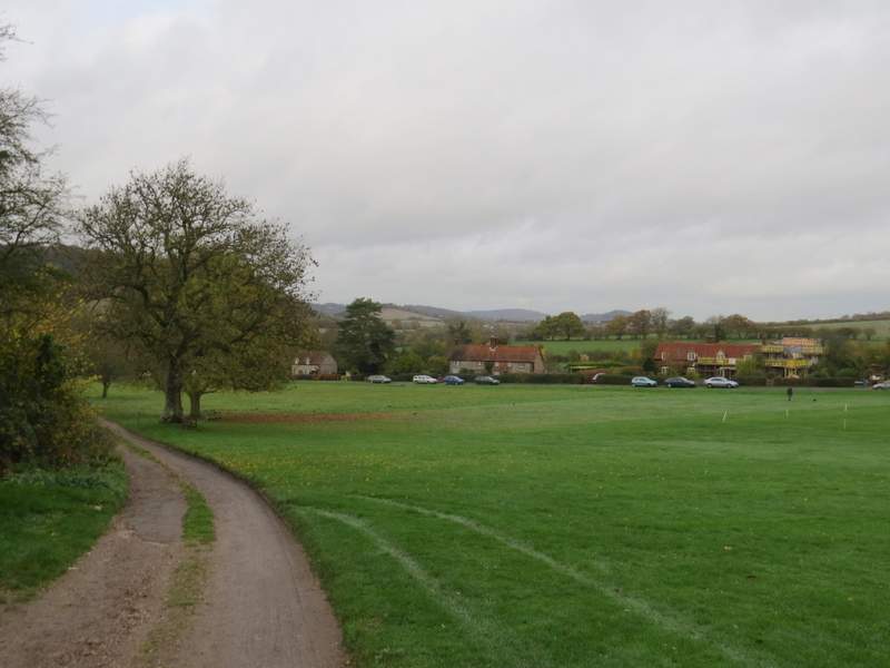
The green at Bradenham - I'm afraid the overcast grey skies would be an ever-present throughout the walk
The end of Old Rectory Lane, approaching the road
The drive to Averingdown Farm (the trees are hiding the railway bridge)
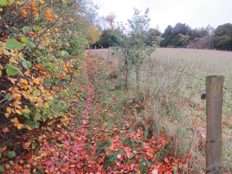
Near the end of the drive, a path went off to the right. It soon turned left, rising uphill beside a wire fence on the right - there were good views along the valley and back to Bradenham from here. Further on the path entered Hearnton Wood, continuing to rise for a while before levelling out. At one point I crossed a footpath running north-south through the wood (I've often walked it, from West Wycombe Hill in the south towards Slough Hill). Further on I crossed a track (not marked on the OS map) and finally went down a few wooden steps to reach a gate on the edge of the wood.
The path continuing from Averingdown Farm
The path continuing from Averingdown Farm (as so often my camera is lying about how steep this is)
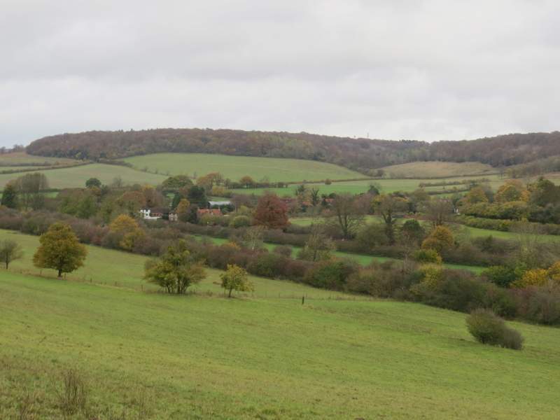
Looking back towards Bradenham
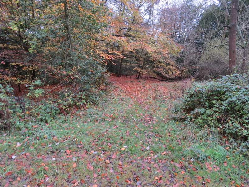
The path entering Hearnton Wood
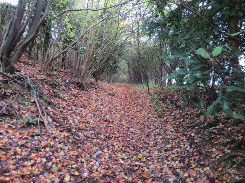
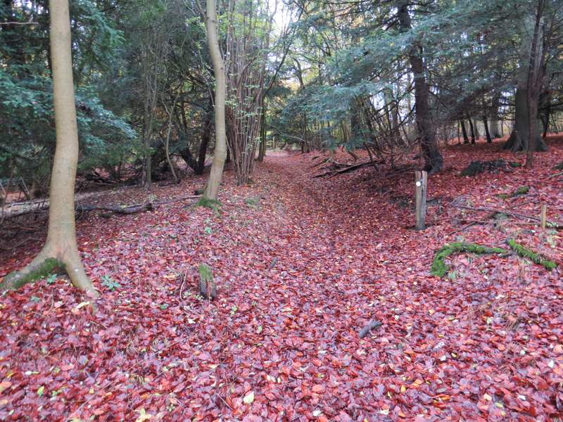
The path continuing through Hearnton Wood
The path continuing through Hearnton Wood (this is taken from where I crossed the footpath going north-south)
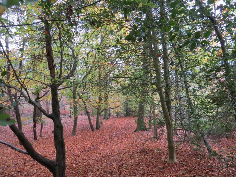
The path continuing through Hearnton Wood
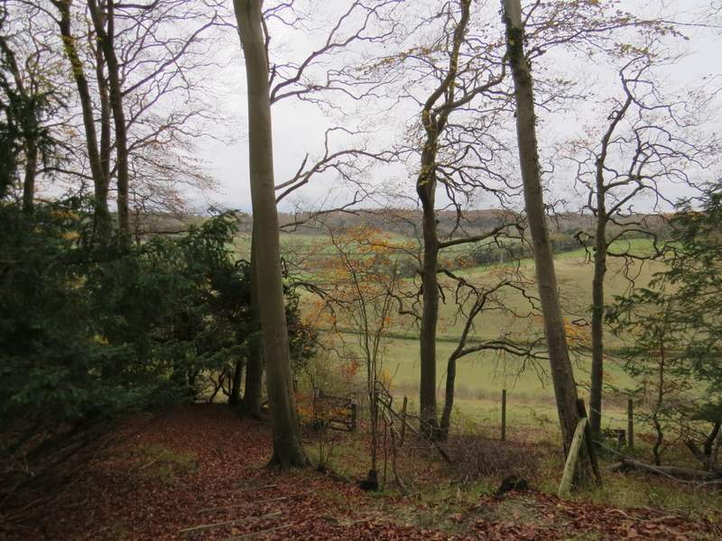
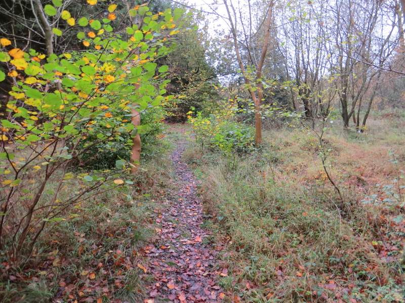
The path reaching the edge of Hearnton Wood
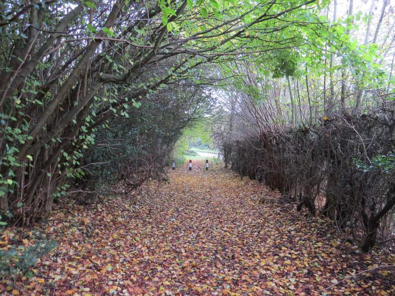
The path now went half-left, descending a steep scrub-covered slope. This was the Buttler's Hangings nature reserve and SSI, according to a sign I came across at the next gate. The path then continued downhill between hedgerows to reach Slough Lane, and then crossed a field to reach a minor road (marked Loxboro Hill on the OS map), which on my right ascended the end of Bledlow Ridge (which I would cross on the return section of the walk). I carried straight on across another field, the path then going slightly right in the next somewhat overgrown field to reach the lane through Chorley (I would re-cross it later on between Radnage and Bledlow Ridge, where it is called Bottom Lane).
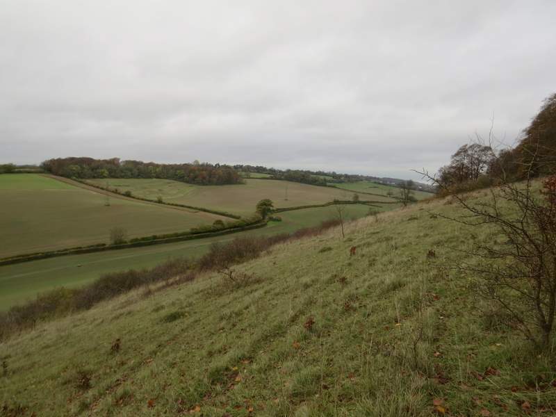
Looking right just after leaving Hearnton Wood (this slope is Buttler's Hangings, a nature reserve and a Site of Special Scientific Interest)
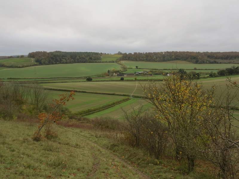
Looking ahead from roughly the same spot as the previous photo. You can see much of the next section of the route, across the fields to Chorley, then between hedgerows rising up to the left edge of the larger of the two wood on the skyline.
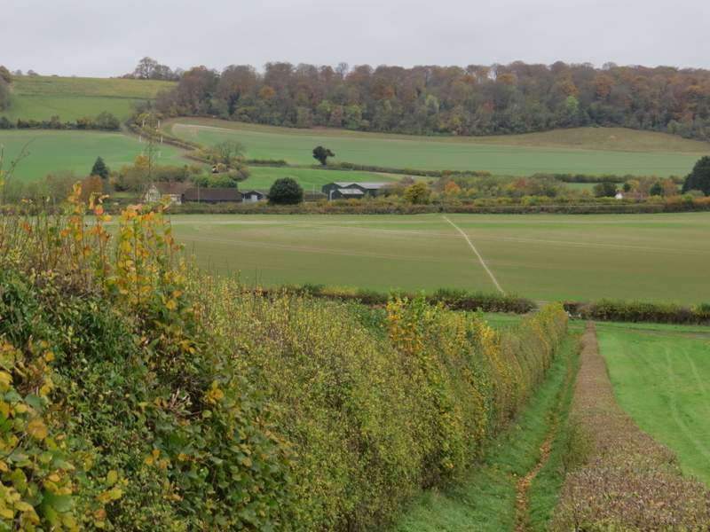
The path continuing from the nature reserve, descending to Slough Lane - again you can see the route ahead
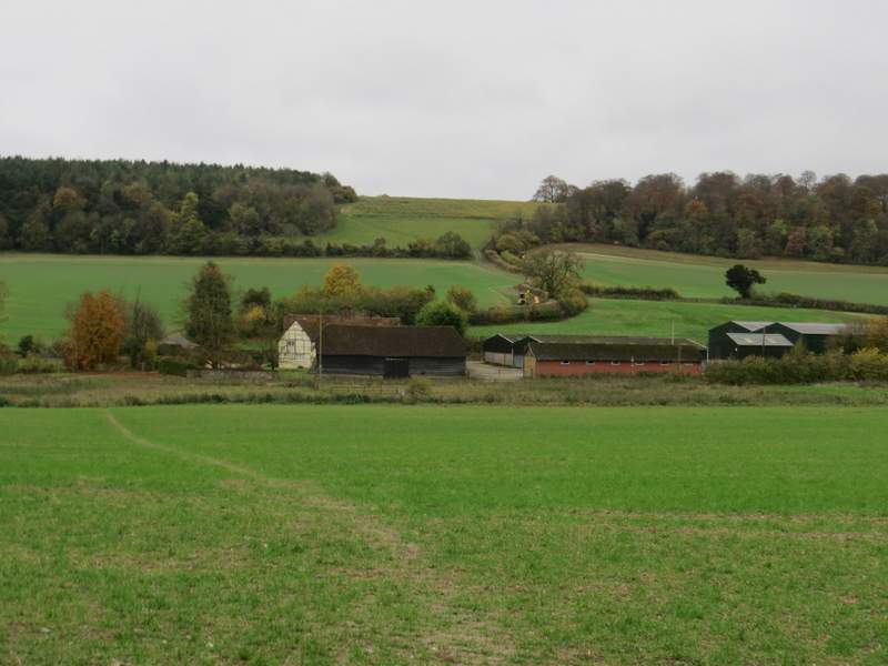
The path from Loxboro Hill to Chorley