Pete's Walks- Kensworth and Dunstable Downs (page 1 of 2)
If you are considering walking this route yourself, please see my disclaimer. You may also like to see these notes about the maps and GPX files.
I did this circular walk of about 5.9 miles on Sunday, January 17th, 2016. There had been an inch or two of snow overnight, and I was keen to get out as it's a couple of years or more since I had a walk in snow.
I started walking about 10.25, from near the triangle where the road to Whipsnade leaves Common Road, Kensworth (Grid Reference TL 025183). I went down the nearby Hollicks Lane, and after about a quarter of a mile went through an open gateway on the left and followed the path the other side of the hedge from the lane (this path starts much further down the lane than shown on the OS map). The path followed the hedge and lane steeply downhill and then equally steeply up the other side of a valley. Near the top of the slope I rejoined Hollicks Lane and followed it the short remaining distance to Church End, the original part of Kensworth. I took the footpath through the churchyard, passing left of the ancient church, and continued along the path in the meadow behind the church. Partway through the meadow I turned left along a track, then after about a hundred yards I turned right onto the path around Kensworth Quarry. This section of the path can be very muddy at first, and was a little wet under foot today (the temperature was 1-2C and the snow was very slowly thawing).
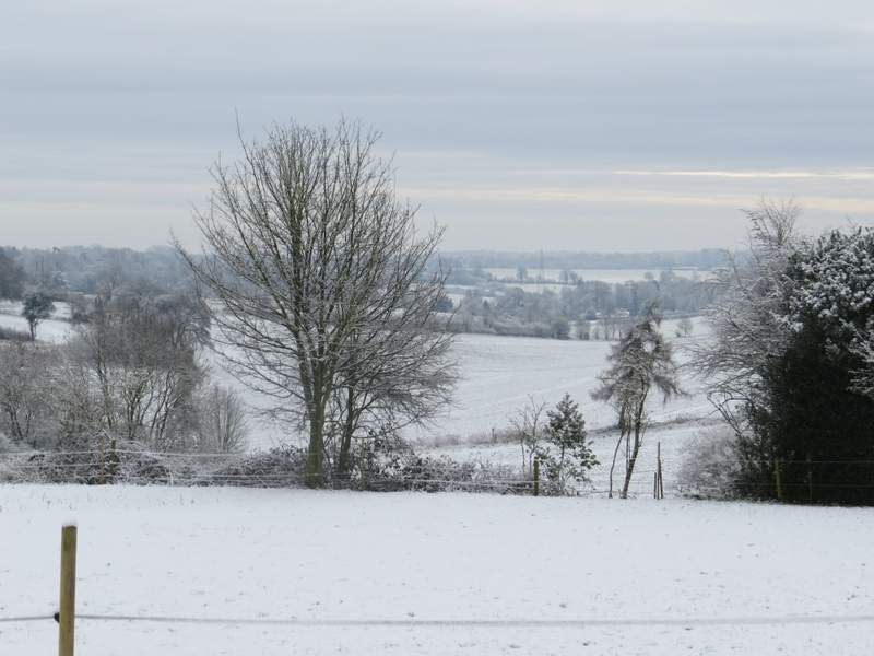
Looking right, from near the start of Hollicks Lane
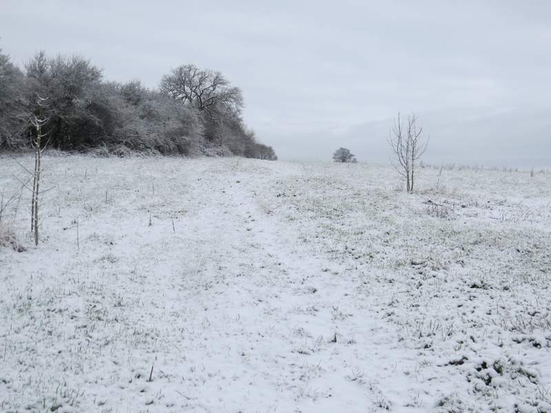
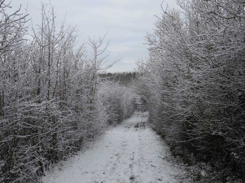
The footpath that runs next to Hollicks Lane
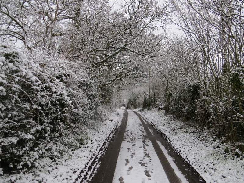
Hollicks Lane, approaching Church End
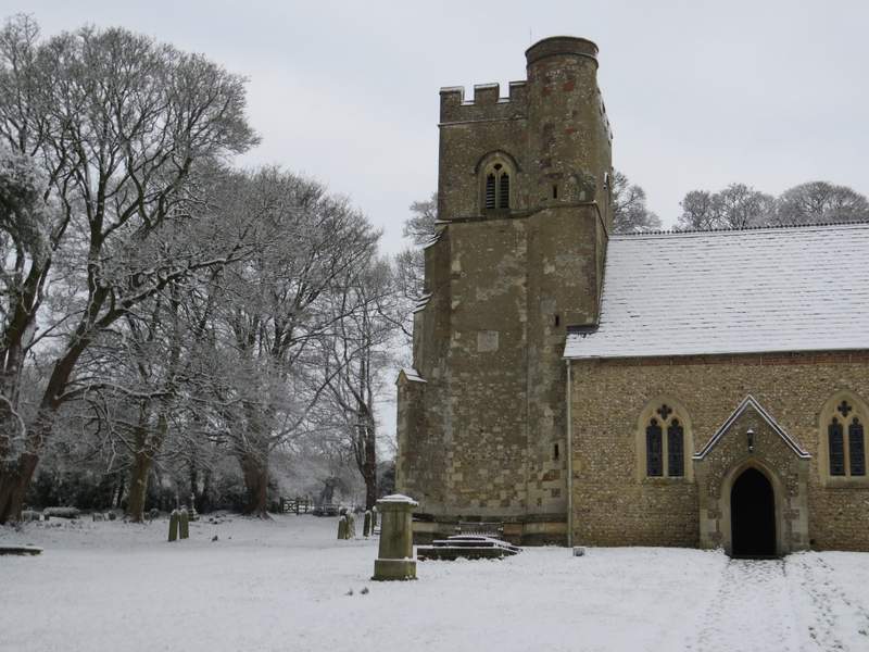
Kensworth church - the path goes to the left of the church, to the gate
The path continuing through the meadow behind the church
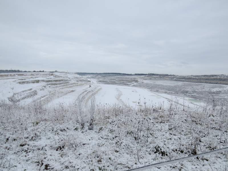
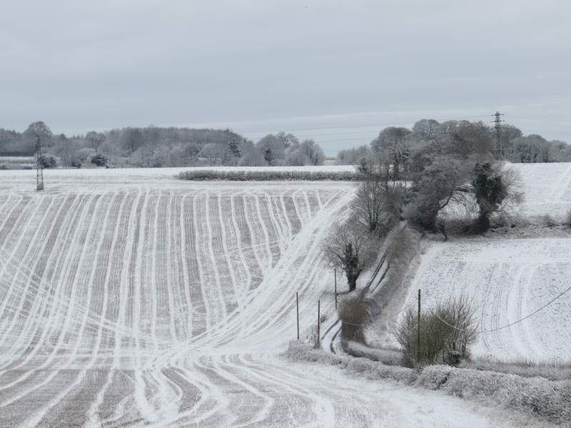
Kensworth Quarry - I'd follow the path right, to eventually reach the opposite end of the quarry close to Dunstable Downs
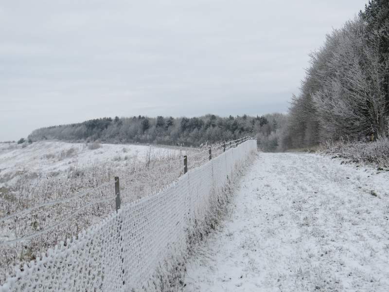
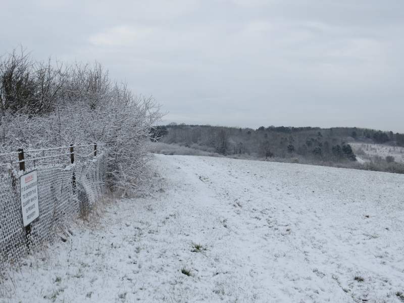
I followed the path round the huge chalk quarry for well over a mile, always staying close to its fence on my left. I kept straight on when a path forked right, still staying beside the fence. Eventually I turned right by a yellow topped post, the path running through a narrow belt of trees to a path T-junction (next to part of Dunstable Downs golf club) where I turned left to reach the road over Dunstable Downs.
The path round the quarry
The path round the quarry
The path round the quarry
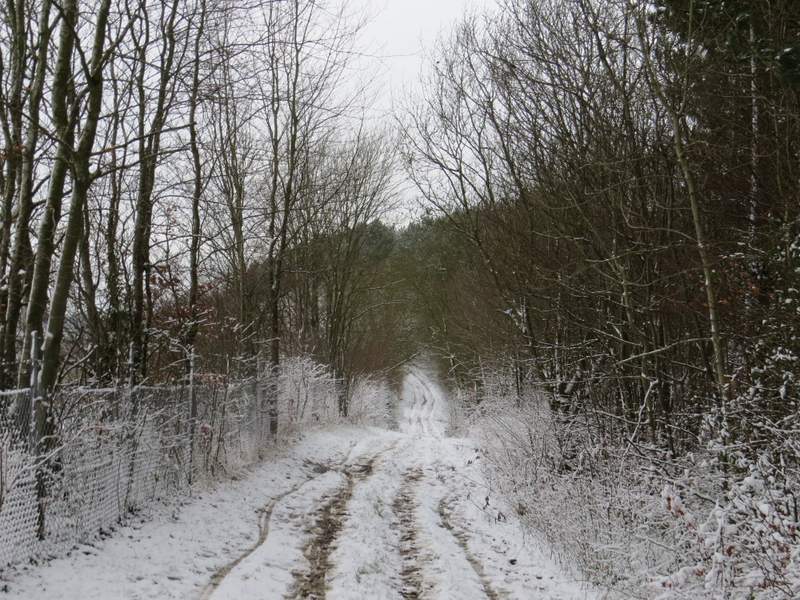
The path round the quarry
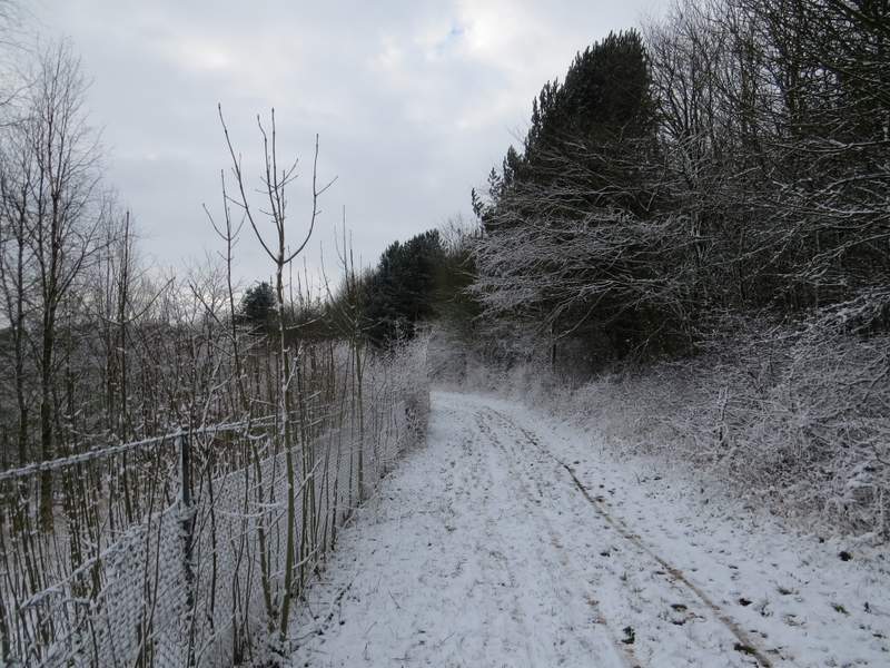
The path round the quarry, just before I turned right for Dunstable Downs
I carefully crossed over, and continued past the car park on my right. There were a lot of people enjoying the Downs, as usual, but I avoided most of them, by walking straight on over the snow-covered grass until I reached where the longer grass and bushes started, where I turned left. I continued along the edge of the long grass, admiring the views out to my right over the Vale of Aylesbury and along the Downs ahead of me. Fairly soon, after passing the Chiltern Gateway centre over to my left, I reached a fence and a kissing-gate, beyond which I continued for two or three hundred yards with a fence on my left. I then forked right along a path that descended one of the old 'Drovers Ways' that criss-cross the slopes of the Downs, soon with steep banks on both sides (a haven for butterflies in warmer months, but not today!).
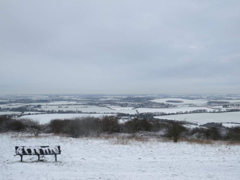
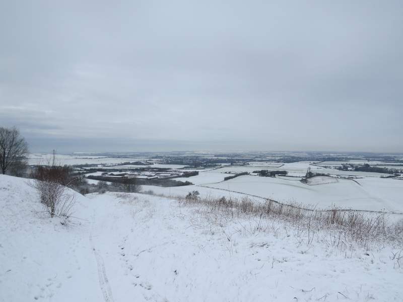
The view from Dunstable Downs, out over the Vale of Aylesbury
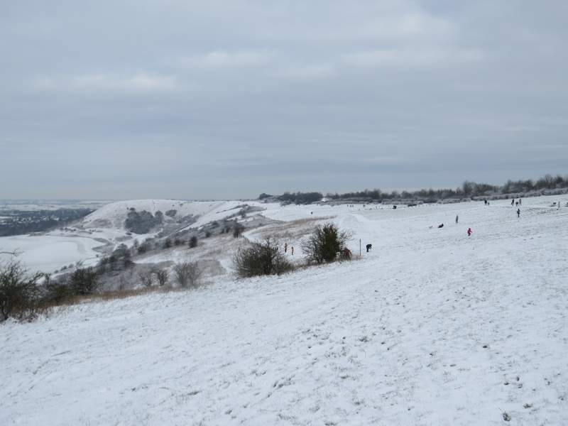
Looking right, along Dunstable Downs, from near the Chiltern Gateway Centre
Looking ahead along Dunstable and Whipsnade Downs
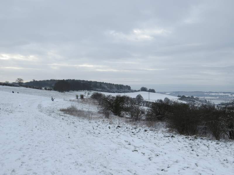
The start of the drovers way I took to descend the Downs