Pete's Walks- Marsworth Canal Walk (page 2 of 3)
If you are considering walking this route yourself, please see my disclaimer. You may also like to see these notes about the maps and GPX files.
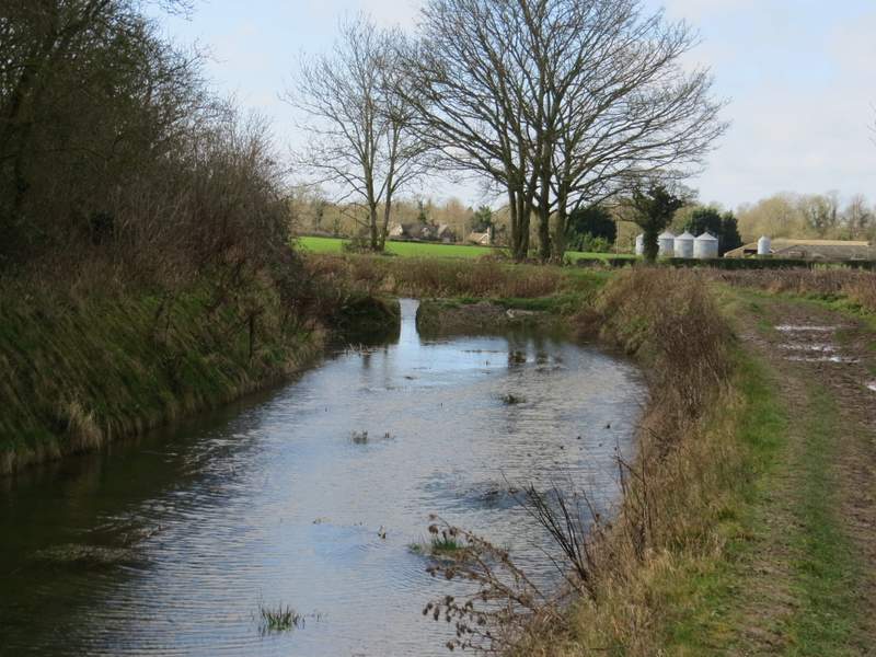
Soon there were views to my right towards Wilstone Reservoir (another of the four 'Tring Reservoirs' that feed the Grand Union Canal at its highest point). A little further on I came to a section of the Wendover Arm that has only just been restored in the last few years (it was empty when I did this walk in 2009). A mile or so after the start of the empty section, I went under a bridge at Drayton Beauchamp and shortly after I passed the village church (out of sight up the embankment on my right). A little further on I came to a more modern bridge carrying the A41 dual carriageway - a plaque on the bridge said that the grave of a Saxon Princess was discovered nearby.
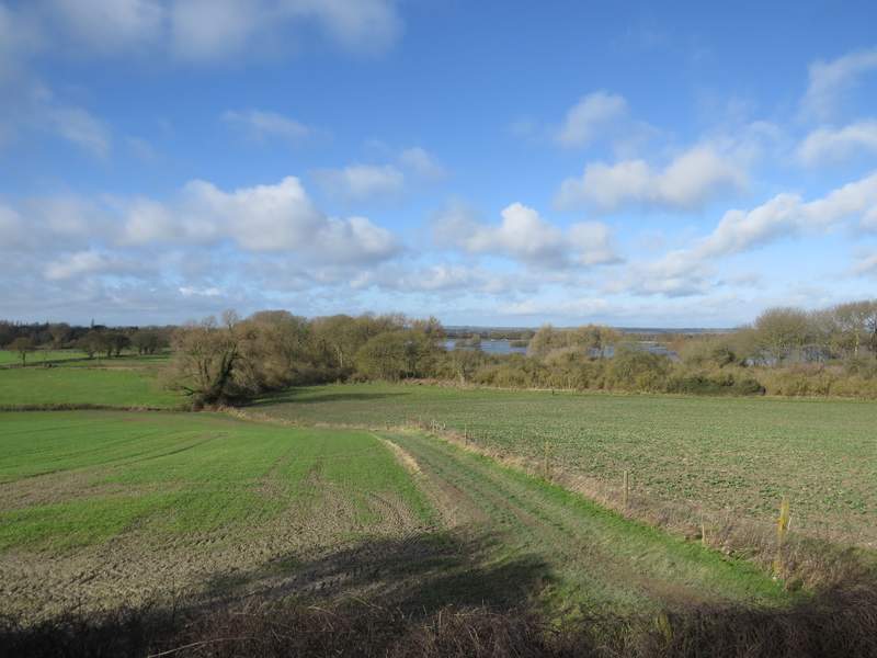
Looking right, towards Wilstone Reservoir (another of the Tring Reservoirs)
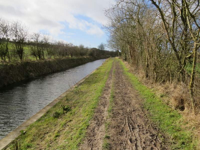
This section of the Wendover Arm was restored a few years ago
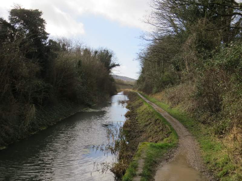
The Wendover Arm of the Grand Union canal - I think the broken barrier in the canal marks where two separate sections were restored at different times
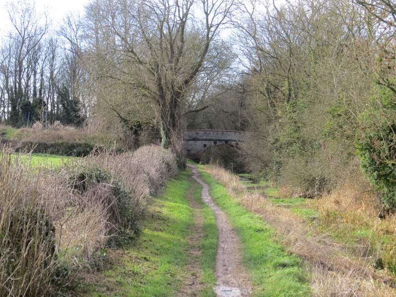
The Wendover Arm, approaching Drayton Beauchamp (the parish of Drayton Beauchamp stretches up into the Chilterns, and includes the extensive Drayton Wood)
The Wendover Arm, near where it passes Drayton Beauchamp church (up the slope on the right)
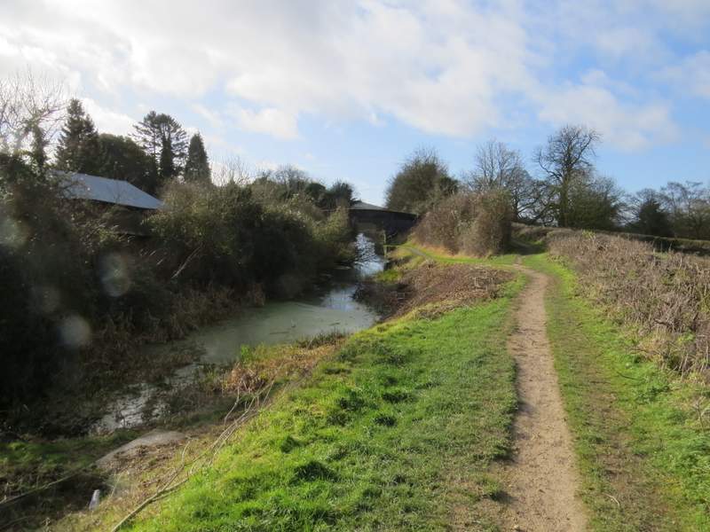
A few hundred yards further on I came to a kink in the canal, where it went right and then left a few yards later. I then came to a road at Bucklandwharf, where I had to cross the road and again switch from one side of the canal to the other. As I now walked along the towpath with the canal on my right, one of the roads I use to take me to many of my walks was across the field on my left - that stretch of road is where I often see my first Cowslips of the year in the Chilterns. At the next bridge I finally left the Wendover Arm, and turned right along a road towards Aston Clinton.
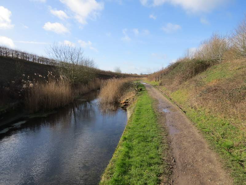
The Wendover Arm, just after passing under the A41 dual carriageway
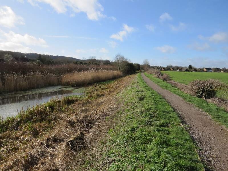
The Wendover Arm, approaching Bucklandwharf
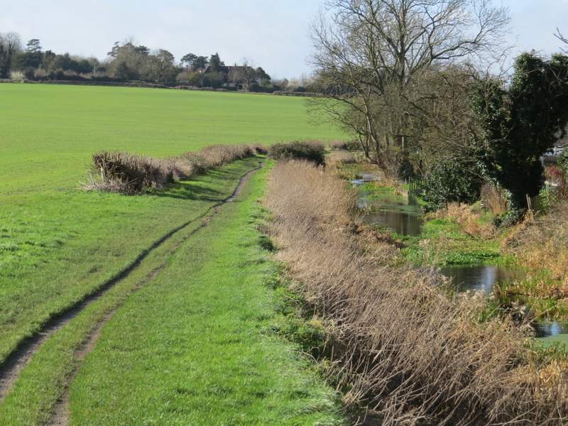
The Wendover Arm, near Buckland Wharf
Approaching the bridge where I left the Wendover arm
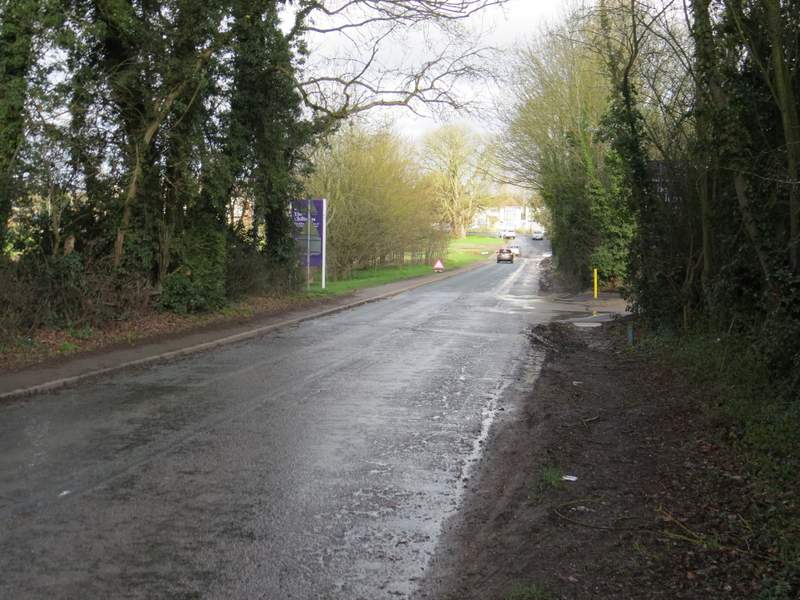
The road to Aston Clinton
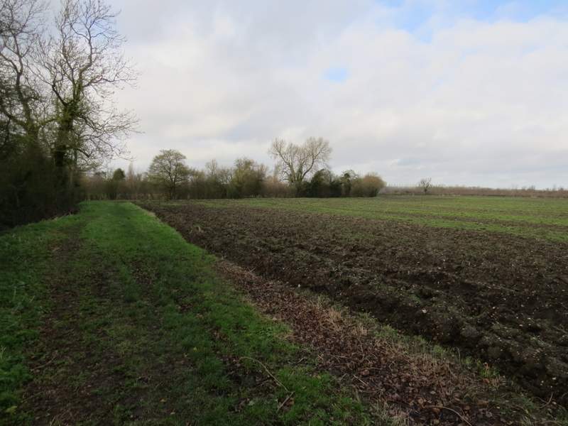
When I reached a T-junction I turned left - looking on the OS map I'm not actually sure if this was in Aston Clinton or Bucklandwharf (which I've only just spotted is one word, not two). After just a few yards I turned right at a roundabout, and followed the road for just over a quarter of a mile to a crossroads where I turned left to reach Buckland. Here I turned right into a lane (Peggs Lane, perhaps?) just before the church. I then turned left into the churchyard, then turned right just before reaching the church porch. I followed the path through the churchyard, then continued across two meadows or pastures. The path then turned left, following the left edge of a large ploughed field.
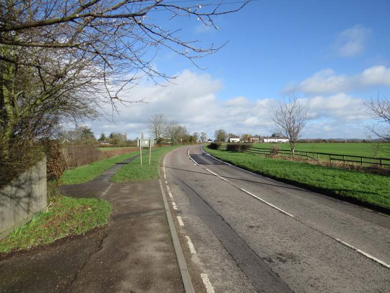
The road to Buckland
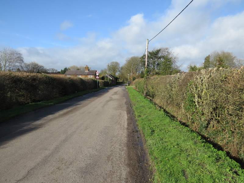
The lane into Buckland
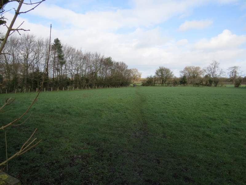
The footpath from Buckland church
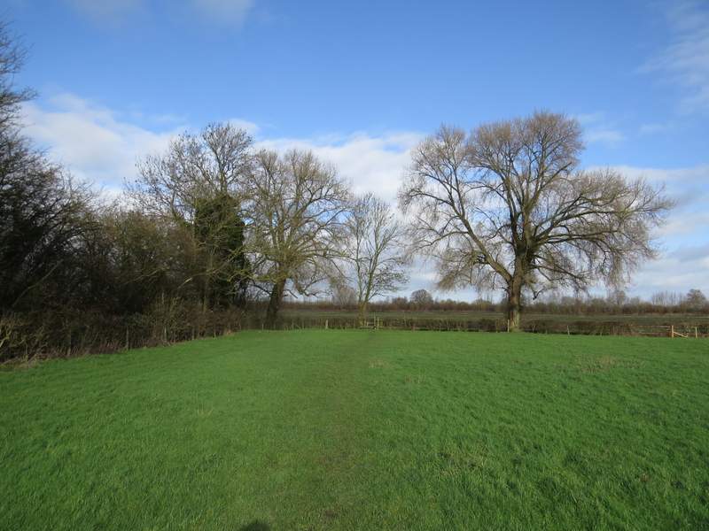
The footpath from Buckland church (I think the trees are possibly Black Poplars)
The footpath from Buckland church