Pete's Walks- Circular walk from Amersham Old Town (page 1 of 6)
If you are considering walking this route yourself, please see my disclaimer. You may also like to see these notes about the maps and GPX files.
Google map of the walkDownload GPX file of the walk
I did this circular walk of about 12.8 miles on Sunday, 1st May, 2016 (it was a Bank Holiday weekend). It was a new route (that, as usual, I just made up by studying the OS map), but only about a quarter of it was on paths I'd not used on previous walks.
I totally miscalculated the mileage when I planned this route, thinking it would be about 14 miles. I then lengthened the route by about three-quarters of a mile while doing the walk, so I was somewhat puzzled that it took me less than four and a half hours to do! It was only when I created the Google map that I discovered my mistake. Curious, because my rough estimates are usually reasonably accurate, I can only remember one or two occasions when I've been so far out.
I parked in the large car park in Amersham Old Town (Grid Reference SU 960974) which is free on Sundays and Bank Holidays, and started walking at about 11am. From the car park I turned right, and followed the attractive High Street for about half a mile, passing numerous old houses and several coaching inns. I continued along the road as it left the town, the paved footpath soon veering slightly left to run alongside the A413 main road for about a hundred yards. The path then went down the slight embankment before turning left to pass under the road, beside the river Misbourne, and brought me to the entrance to the grounds of Shardeloes, a grand house up on the hillside above the Misbourne Valley. I went a few yards down the drive, then turned right and followed a smaller drive round the edge of the cricket ground here as far as the pavilion, then cut across the grass on my right to a gate.
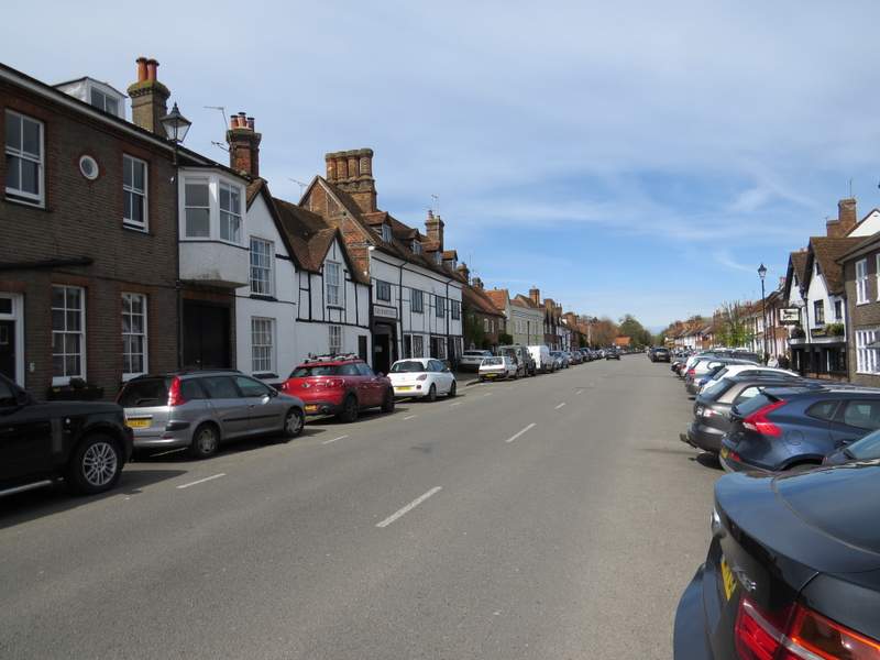
Part of the High Street, Amersham Old Town
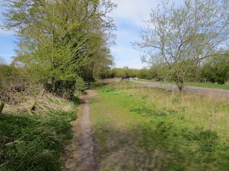
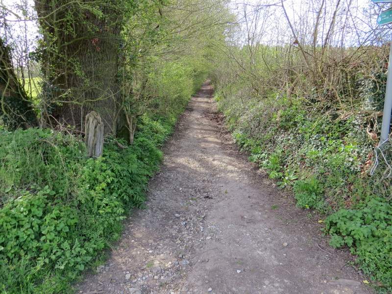
The road out of Amersham Old Town
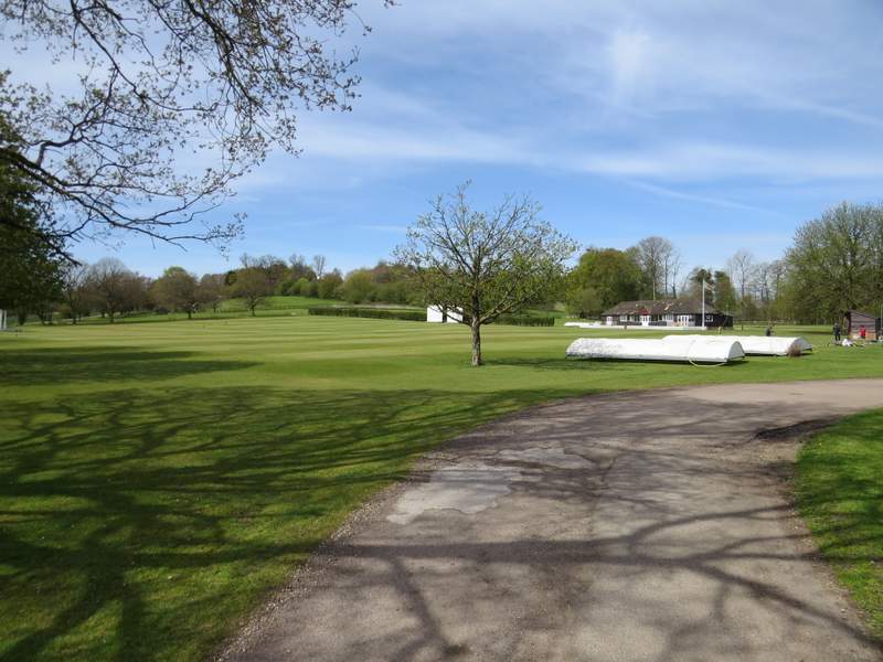
The cricket ground in the grounds of Shardeloes
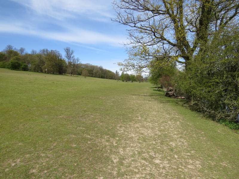
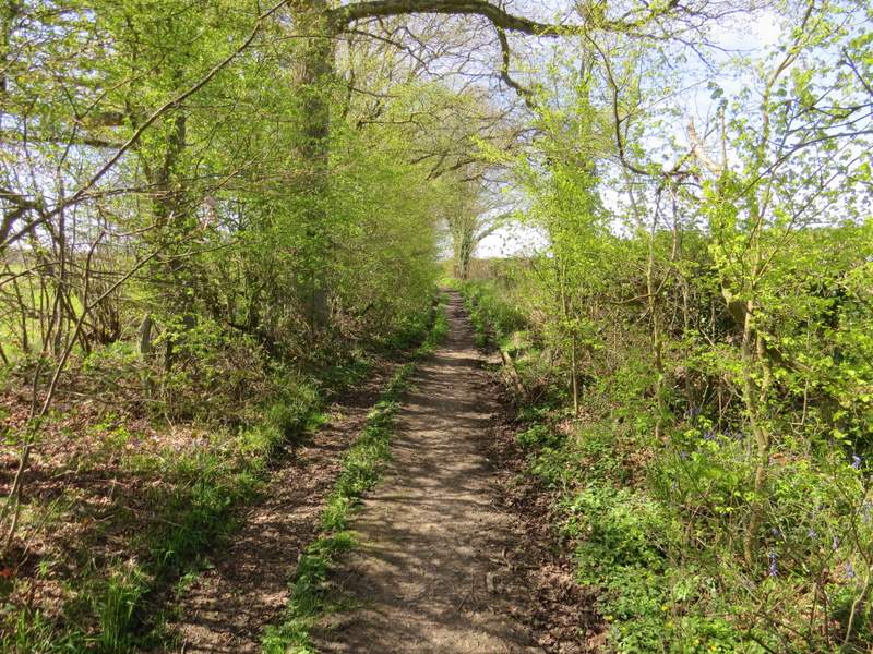
A path led on between fences for a short distance, with overhanging branches almost forming a tunnel. The path then continued through the grounds of Shardeloes, with the big house up hill on my left and a lake nearby on my right. I've been here many times before and it's always a very pleasant path to walk. I turned slightly left as I approached a fence, so as to come to a gate. The path continued the other side, going straight on along the valley to join a track, with a few mature dotted about this part of the park around Shardeloes.
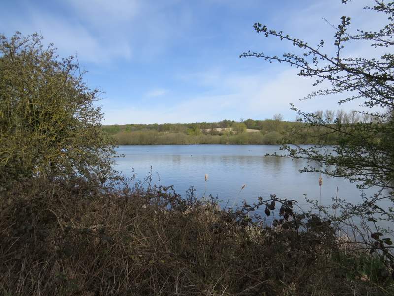
The lake below Shardeloes - it was formed by damming the river Misbourne, as part of the work carried out to improve the grounds by Humphrey Repton
The path through the grounds of Shardeloes
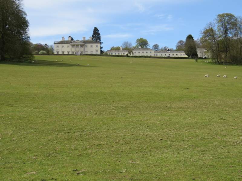
Shardeloes - it's now divided into a number of apartments. Apparently Sir Tim Rice was one of 3000 children born there when it was requisitioned as a maternity hospital for evacuated women during World War II.
The path through the grounds of Shardeloes
The path through the grounds of Shardeloes
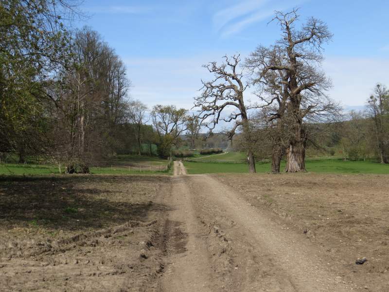
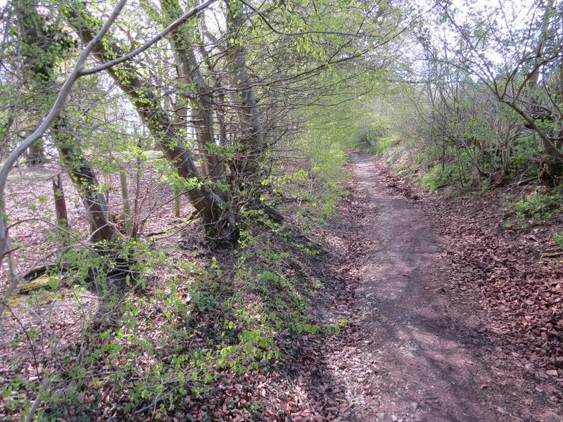
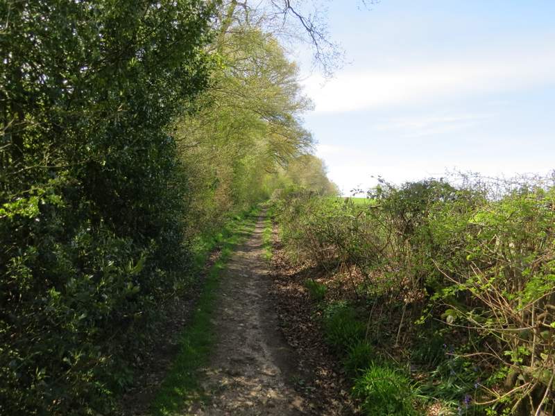
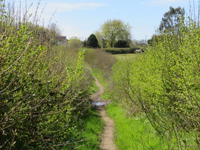
When I reached the next fence, I went through a gate and turned left onto a bridleway named Mop End Lane, this being the first part of the route that was new to me. The bridleway headed uphill out of the valley, at not too steep a gradient, with a hedge on my right and soon a bit of a wood on my left - I'd been concerned that being a bridleway it might be very muddy, but this first section was very stony and well-drained (there'd be one or two muddier patches further on). As I reached Todd's Wood on my right, there was a gap in the hedge giving a nice view over the Misbourne Valley near Little Missenden. There were Bluebells in the wood, and I saw some Greater Stitchwort beside the bridleway here too.
The start of the section along Mop End Lane
Mop End Lane
Mop End Lane
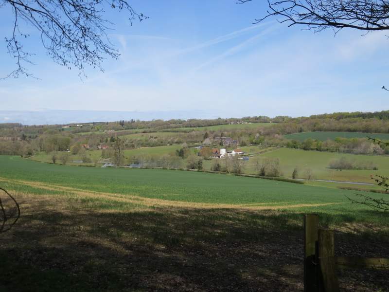
View right from Mop End Lane, over the Misbourne Valley near Little Missenden
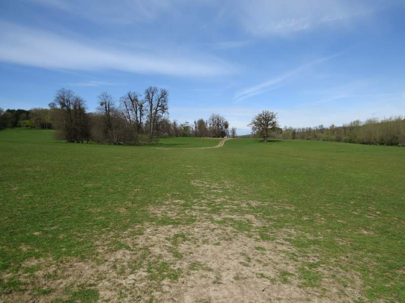
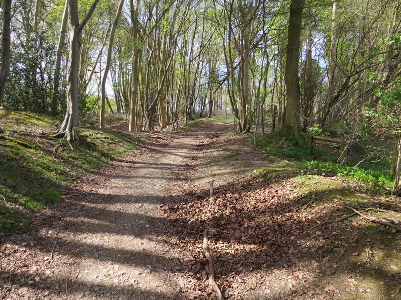
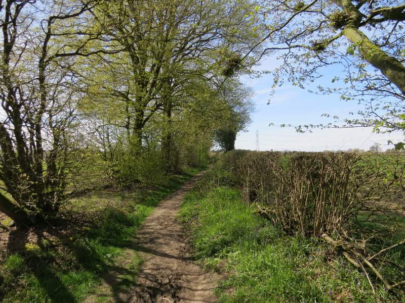
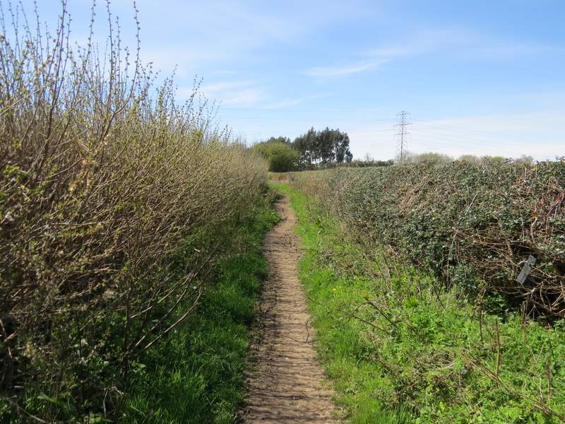
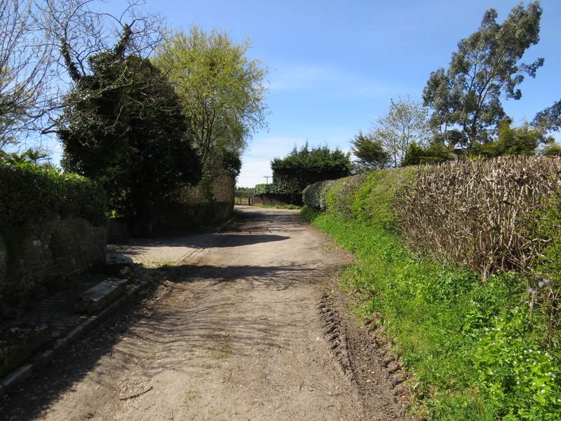
Beyond the wood, the bridleway levelled out and continued very pleasantly for about a mile between hedgerows, with green fields either side. Somewhere along here I spotted my first Wood Speedwell of the year. I really enjoyed following Mop End Lane, and I'm sure I'll use it again in future walks. Eventually it brought me to the hamlet of Mop End (part of Little Missenden parish), where it turned slightly right to reach the entrance to Mop End Farm. Here I turned left, onto a surfaced lane.
Mop End Lane
Mop End Lane
Mop End Lane
Mop End Lane
Mop End Lane, now approaching Mop End
Mop End Lane passing through Mop End