Pete's Walks- Goring, Hartslock, Cray's Pond (page 2 of 3)
If you are considering walking this route yourself, please see my disclaimer. You may also like to see these notes about the maps and GPX files.
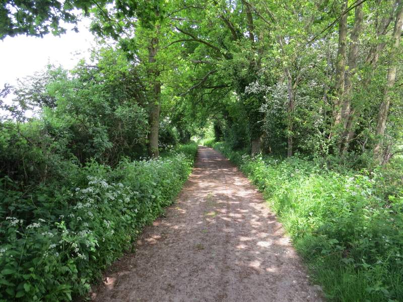
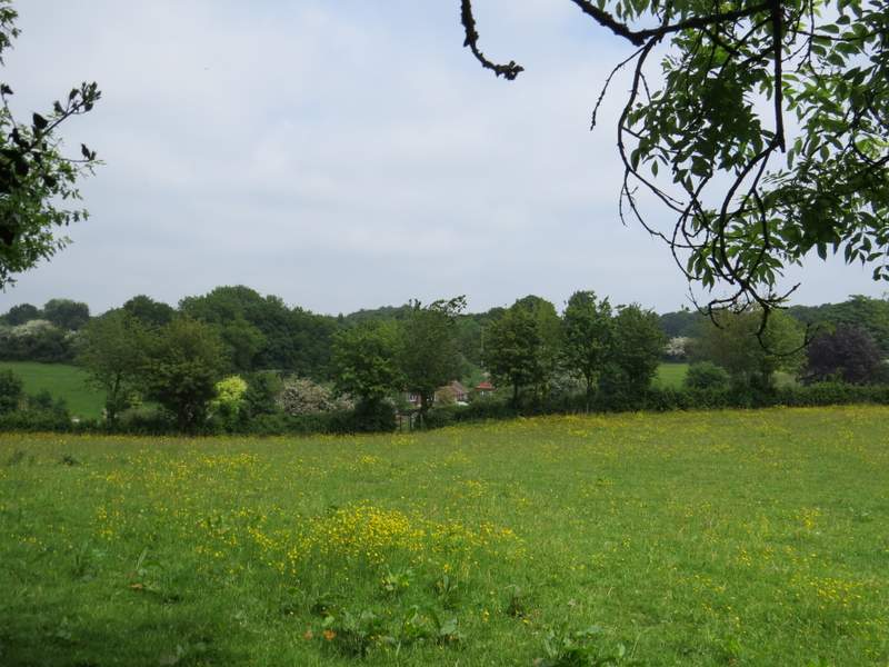
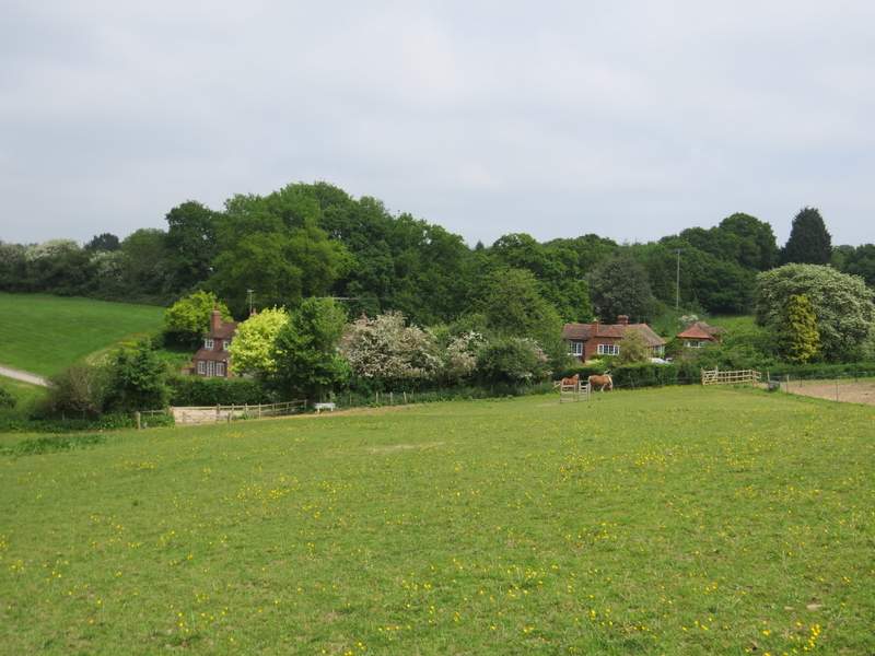
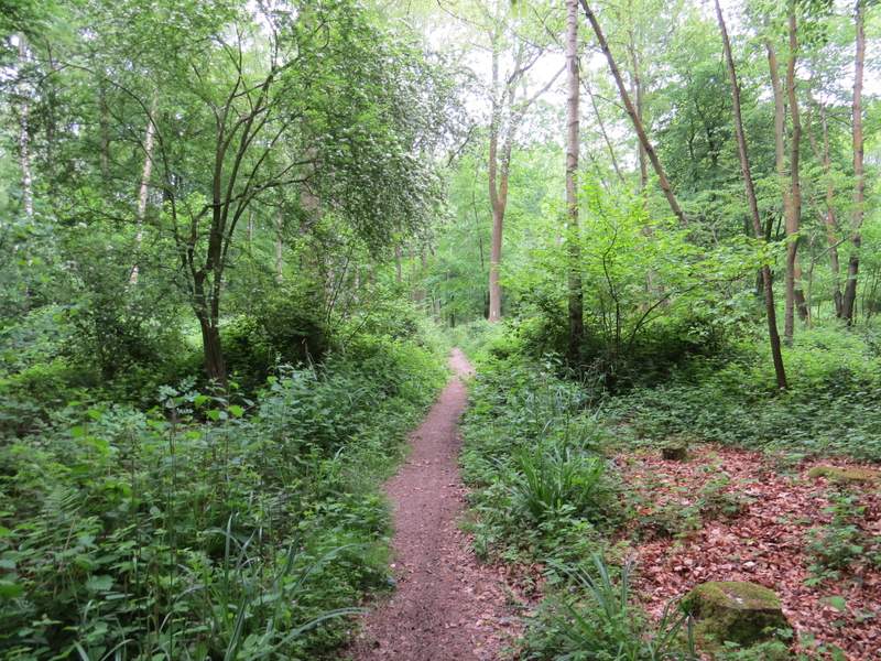
The bridleway followed a track that soon passed a couple of cottages and continued on between hedgerows to eventually reach the end of a lane at a place named Cold Harbour on the OS map. I turned right and followed the lane for a quarter of a mile or so, before turning left along a bridleway that ran along a surfaced drive. After passing two or three residences, I went half-right along a footpath that crossed two paddocks, dropping downhill to reach the hamlet of Blackbird's Bottom.
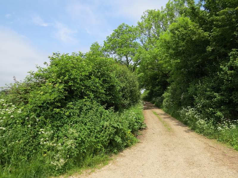
The track to Cold Harbour
The track to Cold Harbour
The lane from Cold Harbour
The bridleway, after I turned left from the lane from Cold Harbour
The footpath to Blackbird's Bottom
The footpath to Blackbird's Bottom
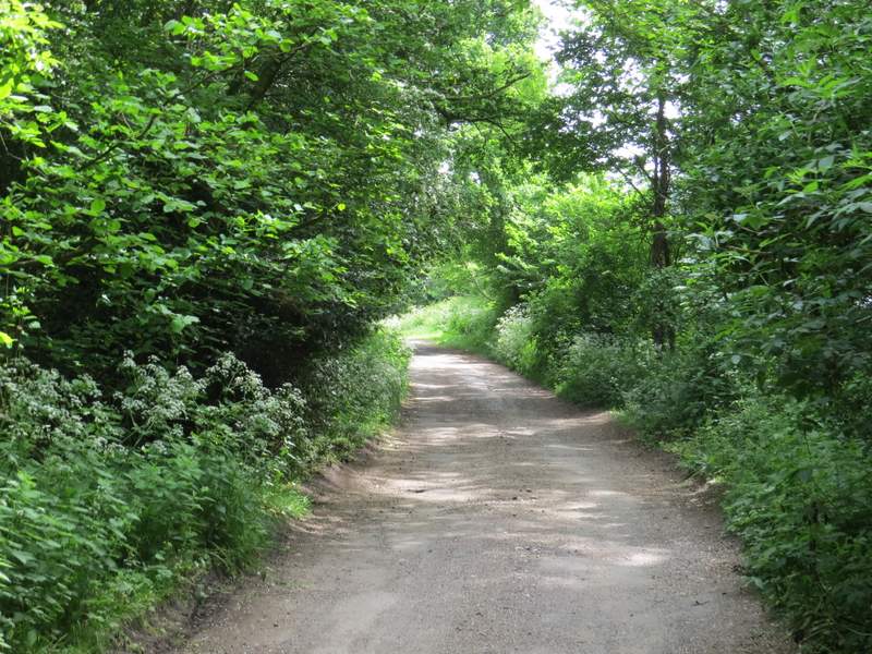
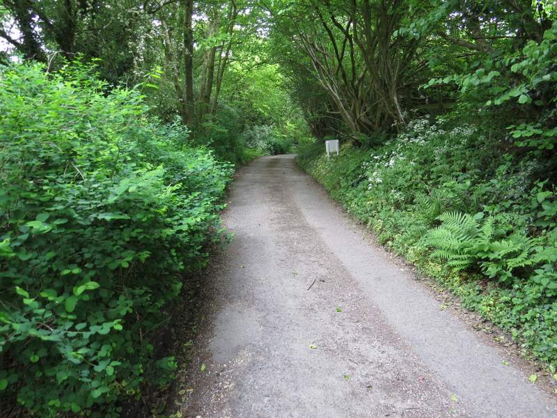
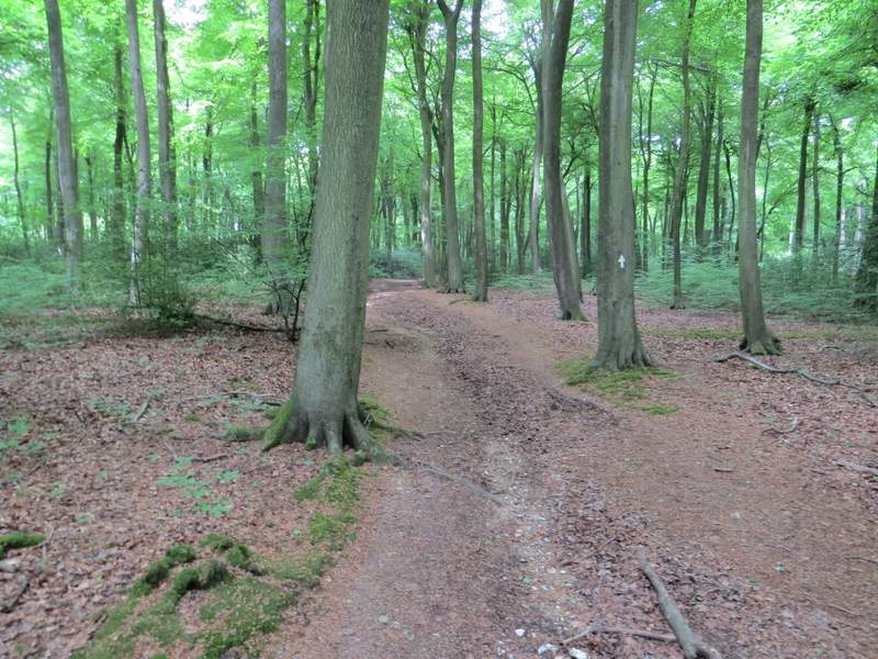
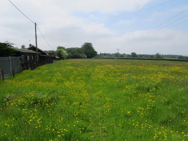
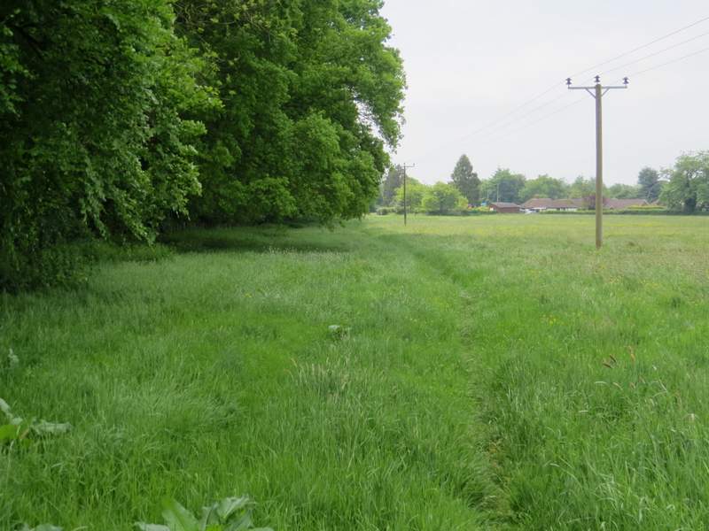
I turned right, and followed the drive or track from the hamlet until it met a minor road just south of Cray's Pond (I'd just touch on the northern edge of Cray's Pond a little later). Across the road a footpath went half left through an area of grass and flowers, and then round the edge of a school cricket pitch (the path has been officially diverted, it used to go straight across the school sports field here). I then turned right along a minor road, for less than a hundred yards, before taking a footpath starting on the other side. This led me through a wood (Oakwood Covert, I think), where I saw my first Yellow Pimpernel of the year. I crossed a track in the wood (Eastfield Lane), then turned left at the next path junction. The wood here was now more like the beech woods that are so typical of the Chilterns. The path led me back to Eastfield Lane again, where I went straight on to reach a bend in a lane.
The lane from Blackbird's Bottom
The path by the school playing field
The path through Oakwood Covert
The path through Oakwood Covert, after I turned left
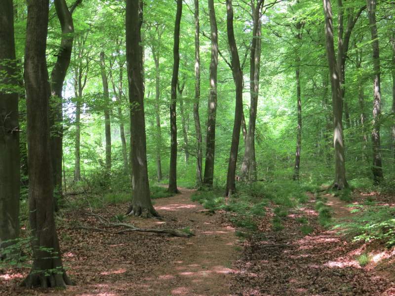
The path through Oakwood Covert, after I turned left
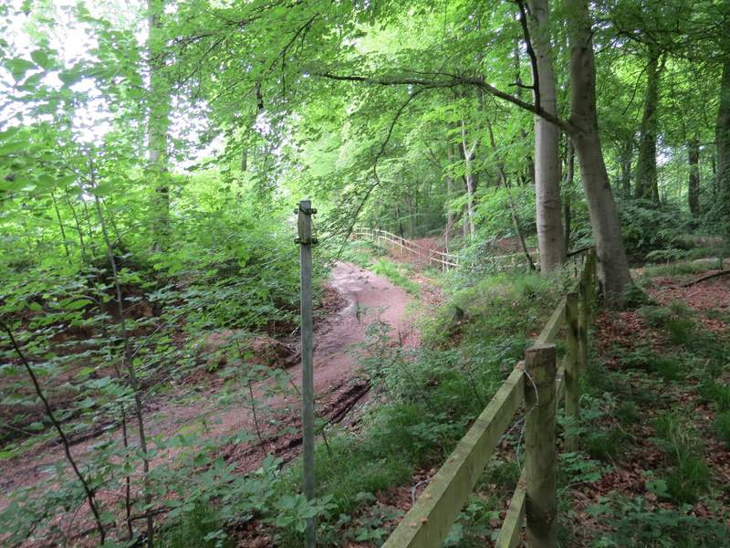
Where the path joins Eastfield Lane
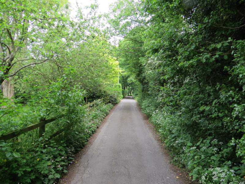
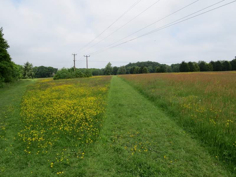
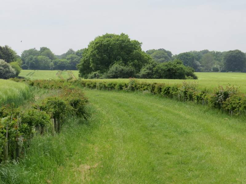
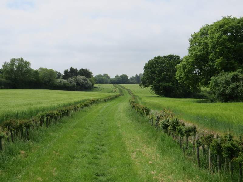
I turned left along the lane for a few yards, then turned left along a footpath than ran near the left edge of a large buttercup-strewn meadow. The path continued through a second meadow, and carried on to reach a road on the northern edge of Cray's Pond (opposite a car showroom). I turned right, away from the village, there being a good mown path along the verge beside the road. After a quarter of a mile or so, I turned left along a very attractive path, running along a wide grassy track between young hedgerows. This brought me to the hamlet of Little Heath, where I turned right along a bridleway.
The path to Cray's Pond
The path to Cray's Pond
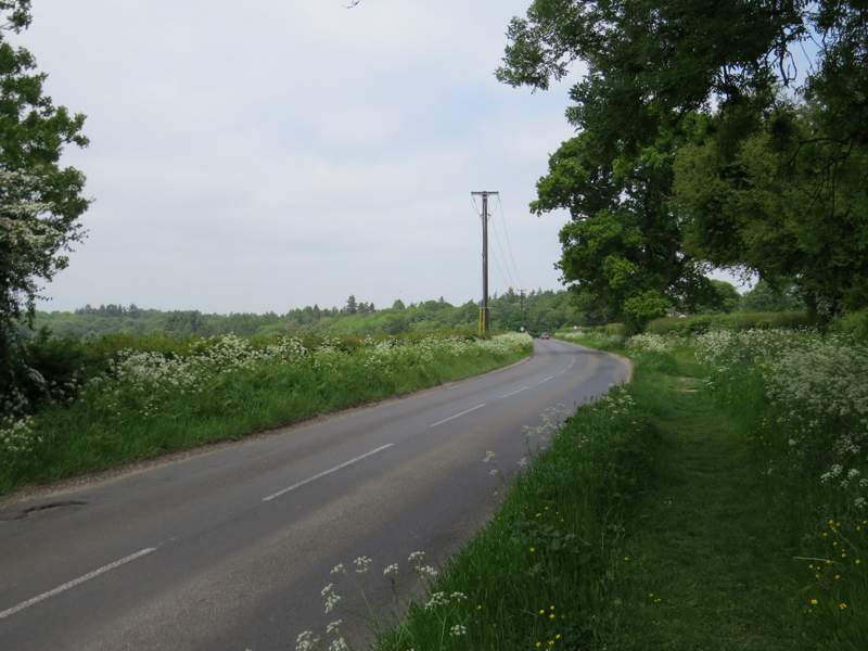
The road going north from Cray's Pond
The path going to Little Heath
The path going to Little Heath