Pete's Walks- Maidensgrove Common and College Wood (page 2 of 4)
If you are considering walking this route yourself, please see my disclaimer. You may also like to see these notes about the maps and GPX files.
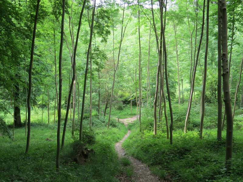
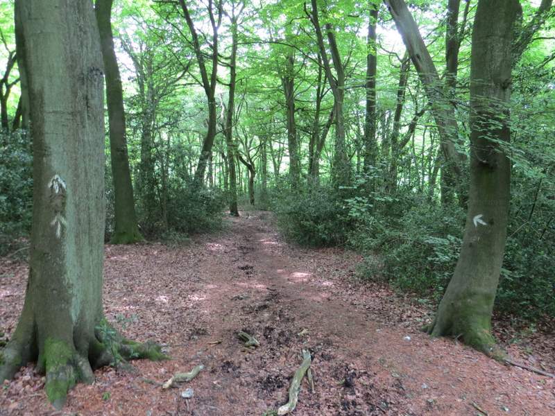
The bridleway continued north from Turville Park Farm, but son turned left and then slightly right, to head north-westwards through Fire Wood. There were lots of wildflowers here, including Herb Robert, Yellow Archangel, Woodruff, Greater Stitchwort and Yellow Pimpernel. After walking through the wood for about half a mile, I turned left at a path crossroads, going up a steep bank to exit the wood and continuing uphill briefly through a corn field. On the other side of this field I reached Hollandridge Lane, with Hollandridge Farm close by on my left.
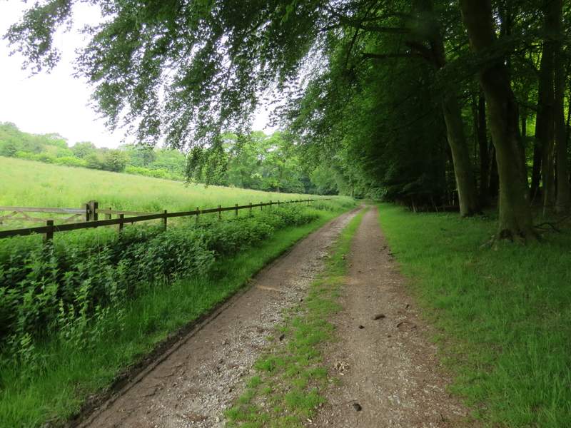
The bridleway continuing from Turville Park Farm
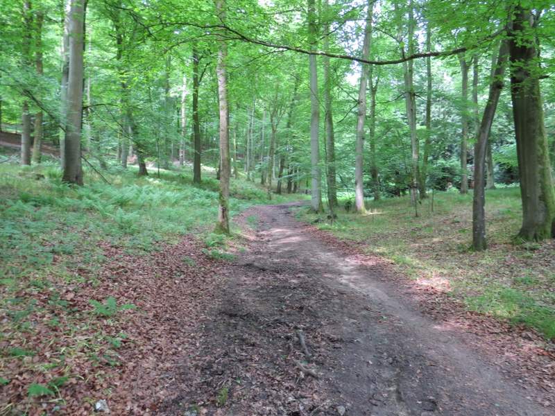
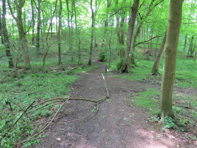
The bridleway continuing through Fire Wood
The bridleway continuing through Fire Wood
The bridleway continuing through Fire Wood
The path going left from the bridleway
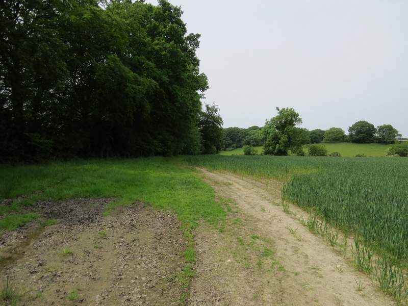
The path approaching Hollandridge Lane
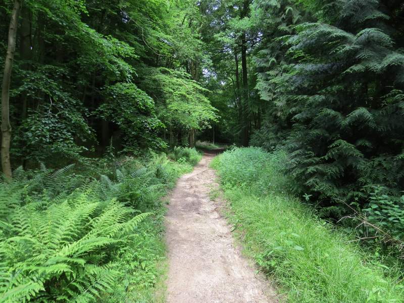
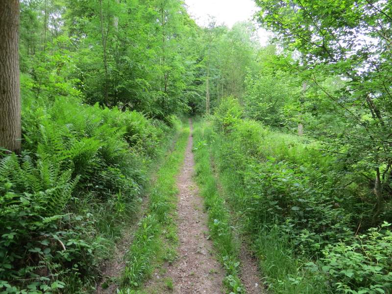
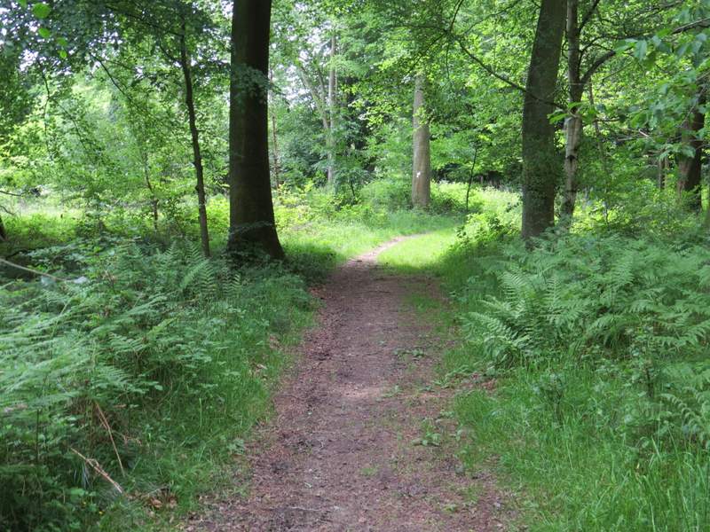
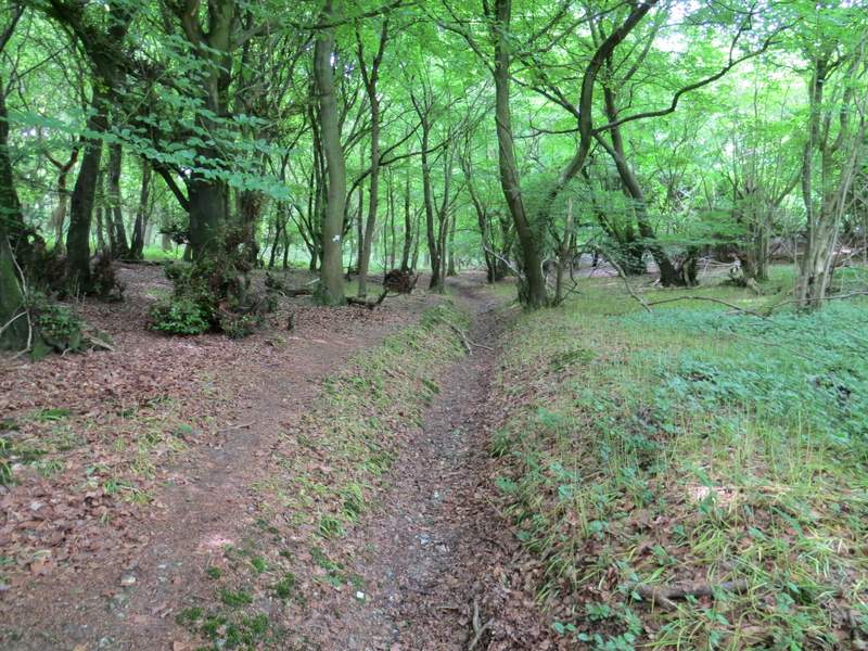
Across Hollandridge Lane, the path went through a meadow to reach a stile giving access to College Wood. Just inside the wood there was a path junction where I went straight on (the path going half-left goes to Pishill, I've walked it a couple of times already this year). The path dropped downhill through the wood - when I reached a valley bottom I ignored the clear track going straight on and took a path just a few feet to the left of that track, half-hidden by brambles and other vegetation. There really ought to be clearer waymarking or signposting here, because two people had just made the mistake of going straight up the track (it seems the obvious continuation of the path, I had to show them where the actual public footpath went) and I know they are not the only ones to make that mistake. After another half a mile or so, the path came down into another small valley, where a gateway on the right opened into a flower-filled meadow.
The path continuing from Hollandridge Lane to College Wood
The path through College Wood
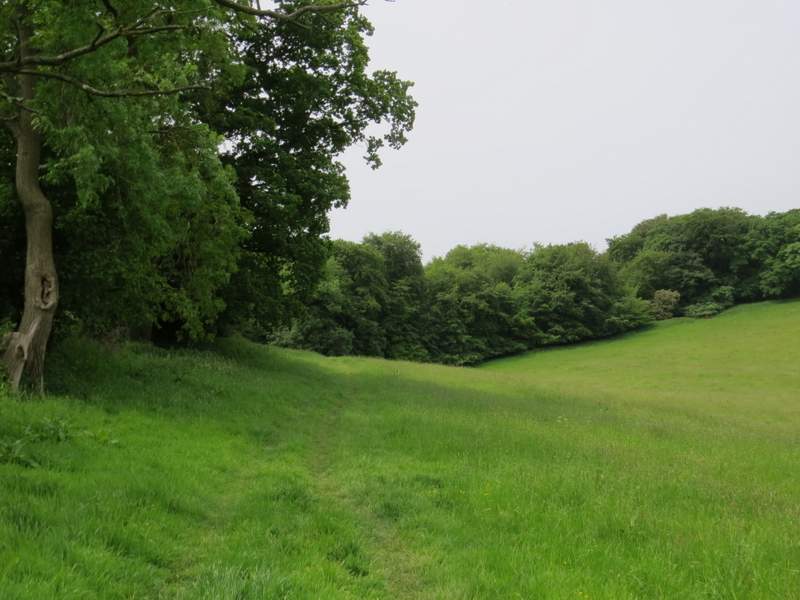
The path continuing through College Wood, just before the meadow on the right
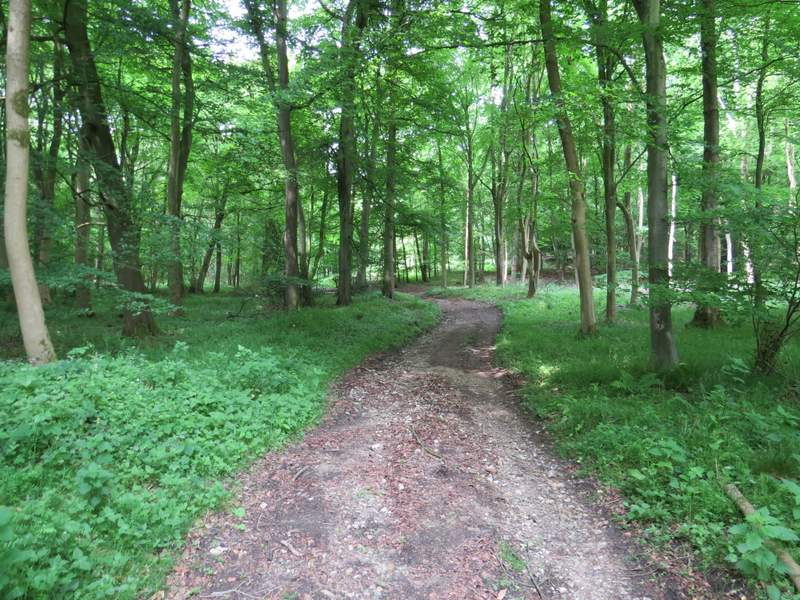
The path continued across a couple of tracks (I was following Chiltern Way waymarks here) and went gently uphill, now in Greenfield Wood. At some point the wood changed to Shambridge Wood, and eventually I came to a path junction (not on the OS map) where I turned left down a permissive path (marked by a white arrow on a tree) which dropped downhill through the wood to reach a minor road (Patemore Lane) in Pishill Bottom.
The path continuing through Greenfield Wood
The path continuing through Greenfield Wood
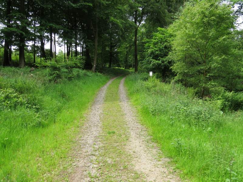
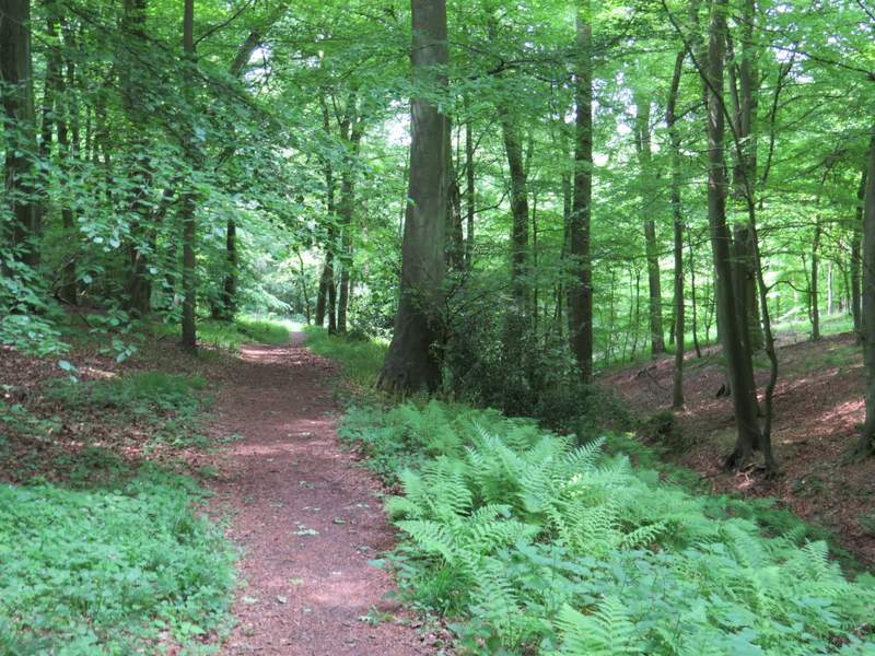
The path continuing through Shambridge Wood
The permissive path through Shambridge Wood
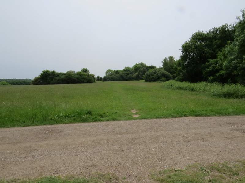
Across the road a path continued straight on into another bit of woodland for about a third of a mile, before reaching the northwest corner of the vast expanse of grassland that is Russell's Water Common. I continued round the edge of the common, with trees and bushes on my right. When I reached a bridleway going right (into the hamlet of Russell's Water) I varied from the route I used last year by going straight on and continuing along the edge of the common. This was the first time I'd walked here, the whole common is an Open access area and there was a clear path through the grass not far from the trees and bushes to my right.
The path across the road (Patemore Lane), heading to Russell's Water Common
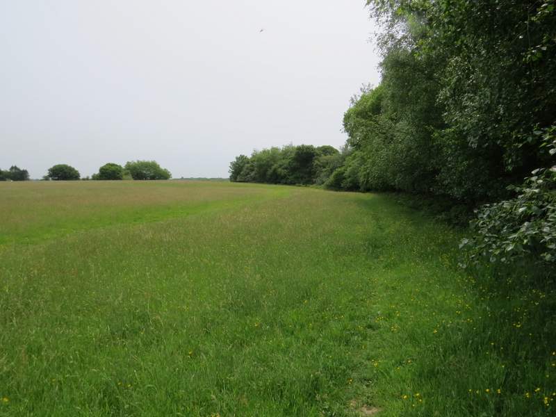
The path along the edge of Russell's Water Common
The path along the edge of Russell's Water Common