Pete's Walks- Watlington Hill, Nuffield, Russell's Water (page 4 of 7)
If you are considering walking this route yourself, please see my disclaimer. You may also like to see these notes about the maps and GPX files.
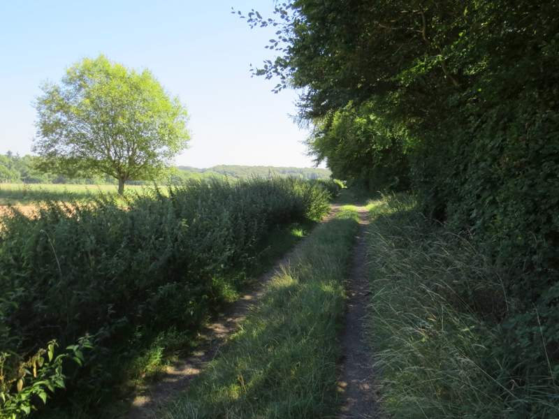
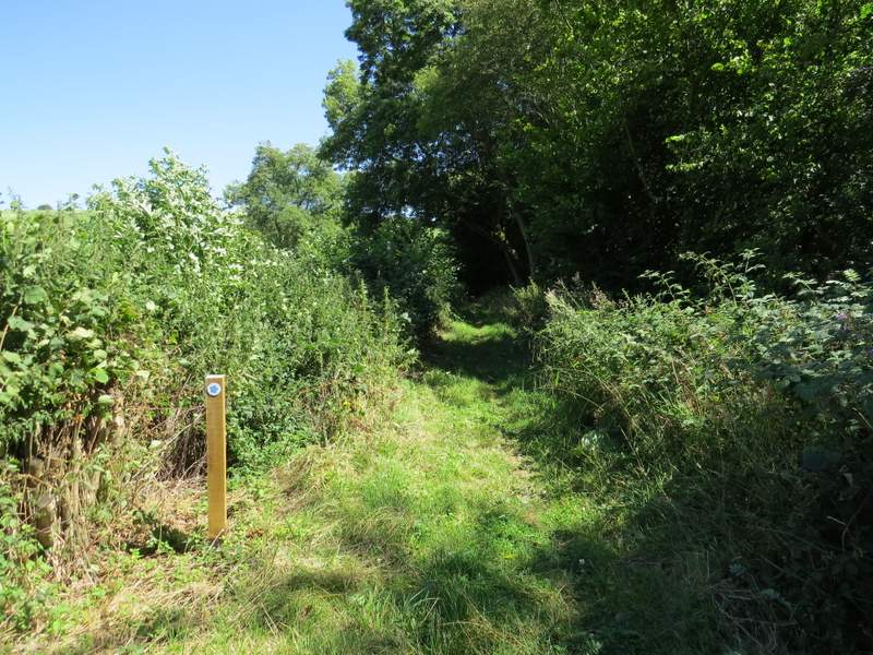
I turned left along the lane (again entering what was new territory for me) and followed it through the village to its end at a T-junction. A few yards to the left a footpath started on the other side of the road, running initially beside a garden hedge on the right. The path soon ended when it met a bridleway, where I went right (actually almost straight on). The bridleway was a gravel track for a short distance until I'd passed a couple of cottages, then it ran for about three-quarters of a mile between hedgerows or just inside the edge of a wood called Heycroft Shaw, in an almost straight south-easterly direction.
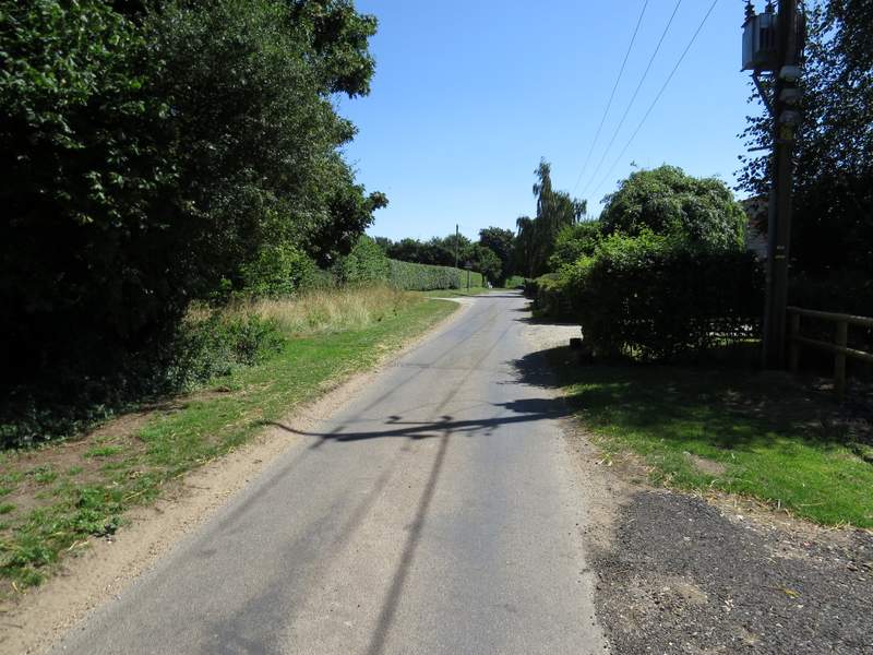
The lane through Nuffield
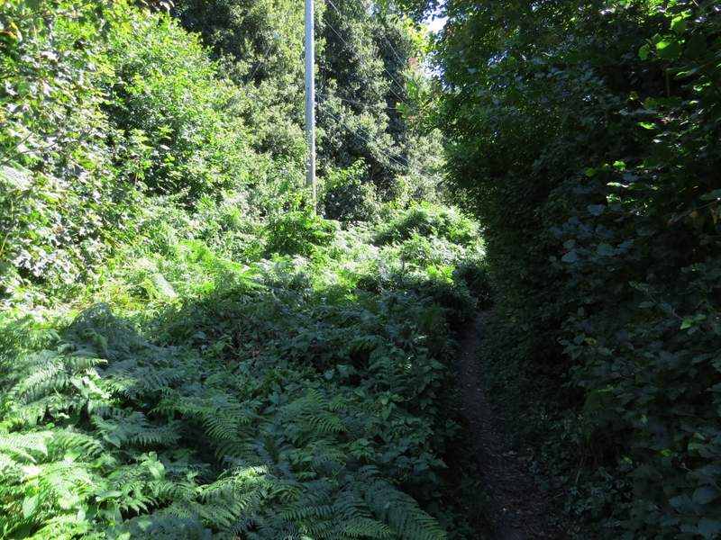
The start of the footpath from Nuffield
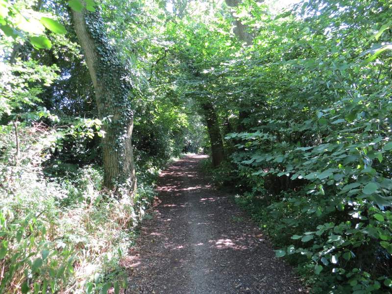
The long bridleway going southeast from Nuffield
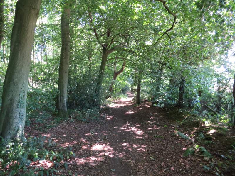
The long bridleway going southeast from Nuffield
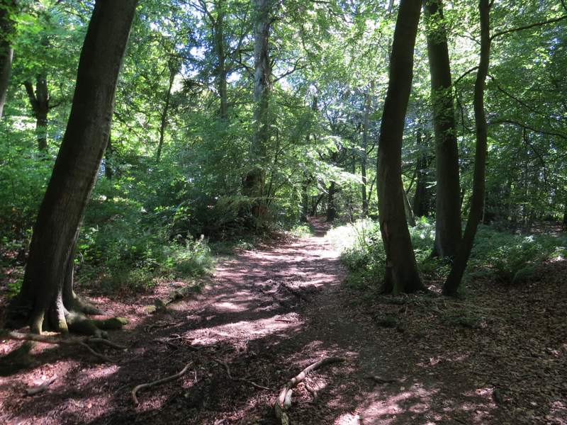
The long bridleway going southeast from Nuffield
The long bridleway going southeast from Nuffield
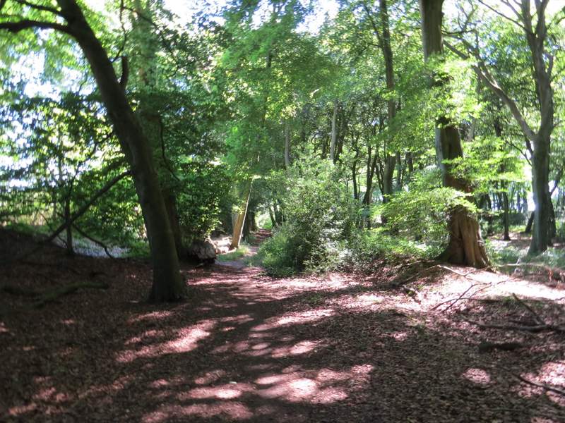
Looking right, from the long bridleway going southeast from Nuffield
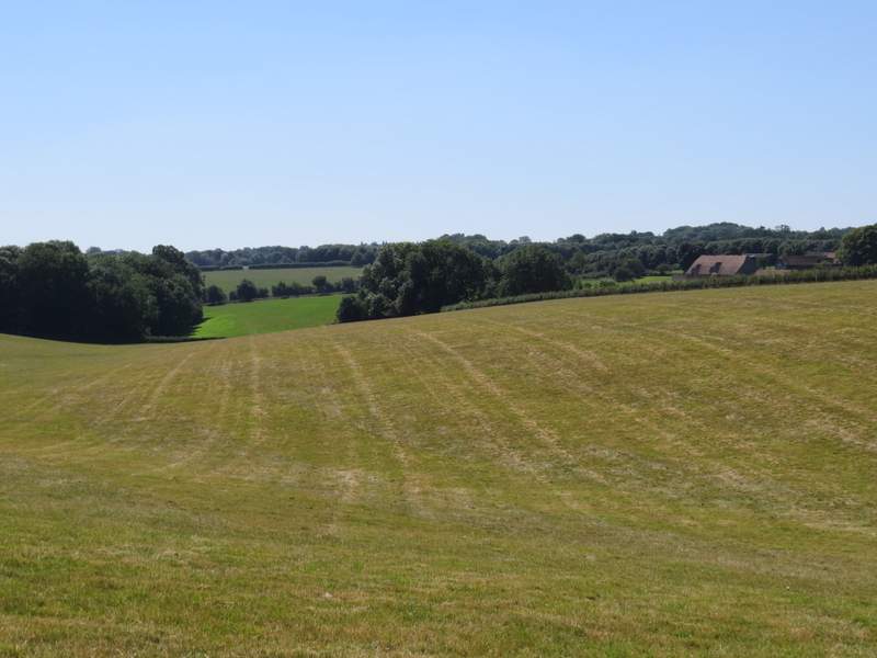
When I reached a point where another bridleway came in from the left, I was momentarily confused and only realised when I looked on the map that I'd been here a couple of times before. Staying on what was new ground for me, I went straight on, the bridleway still heading southeast but now on a farm track. Again this was initially between hedges, but then ran beside Top Copse on my right. Shortly after the end of this wood, the bridleway finally changed course and turned right, and then twice went half-left, the second time at a hamlet or property named Howberrywood on the OS map.
The long bridleway going southeast from Nuffield
The long bridleway going southeast from Nuffield
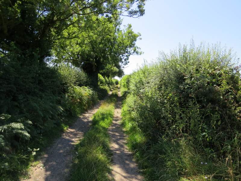
The long bridleway going southeast from Nuffield
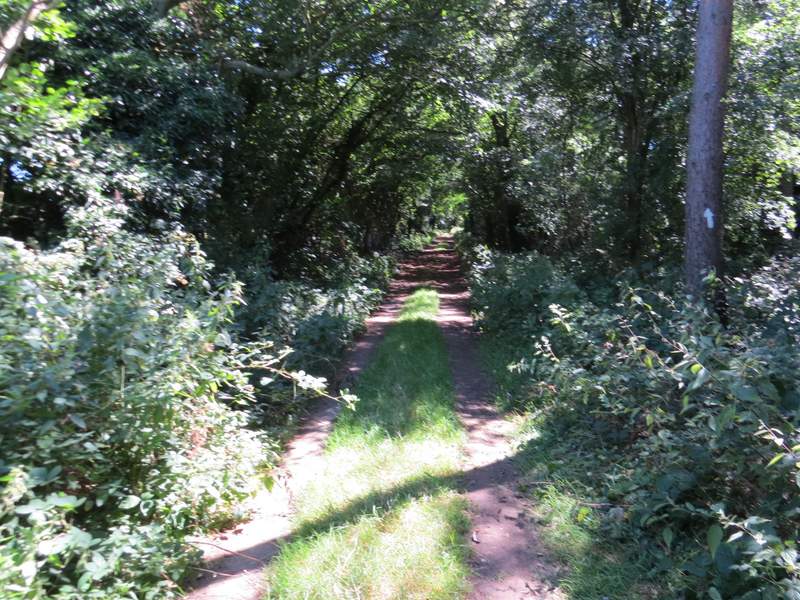
The long bridleway going southeast from Nuffield, approaching Nott Wood
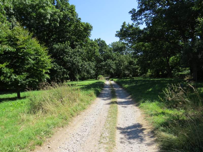
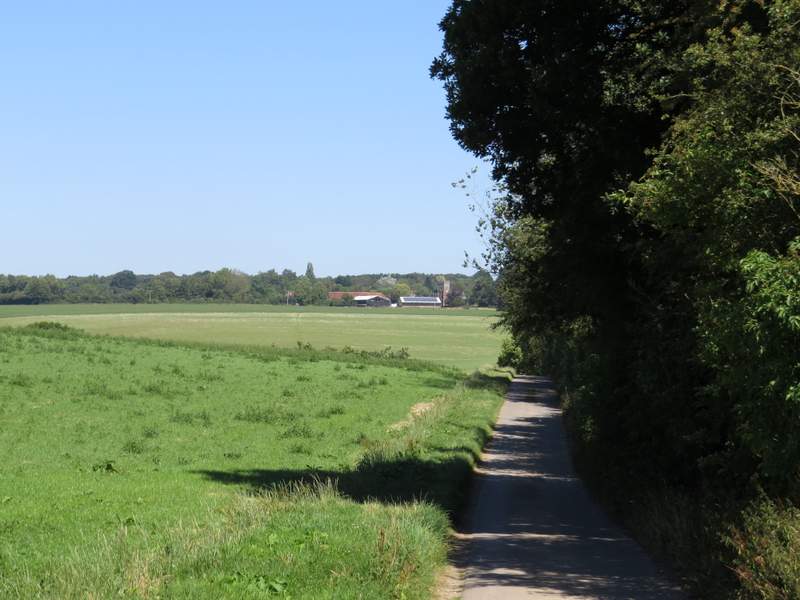
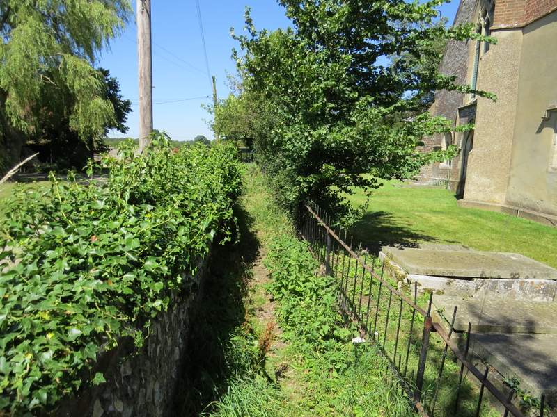
Soon after I came to a bridleway junction, where I turned left to follow a farm drive beside Nott Wood (I think) on my right. At the bottom of a slope, the drive turned right and the bridleway turned right also, but left the drive and ran parallel to it just inside the wood. At the top of a slope, I turned left rejoining the drive as it turned left, and followed the drive towards Nettlebed. Just before the drive reached the main road through Nettlebed, the path left it and ran along the other side of a brick wall, with Nettlebed church on my right.
The bridleway beside Nott Wood
The start of the section where the bridleway runs just inside Nott Wood
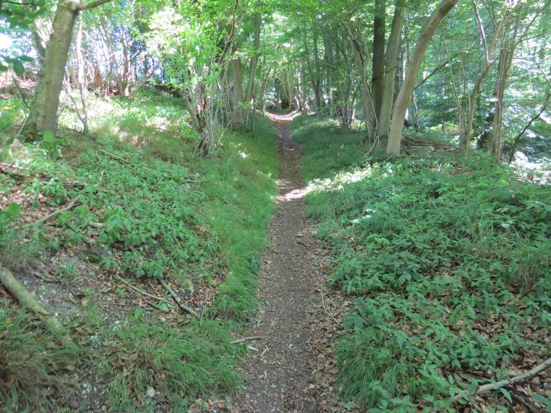
The section where the bridleway runs just inside Nott Wood
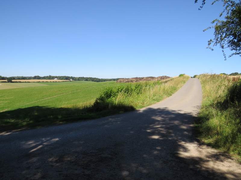
The start of the footpath following a surfaced farm drive to Nettlebed
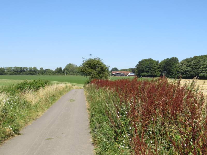
The footpath following s surfaced drive to Nettlebed
The footpath as it enters Nettlebed