Pete's Walks- Coombe Hill and Kingsash (page 2 of 5)
If you are considering walking this route yourself, please see my disclaimer. You may also like to see these notes about the maps and GPX files.
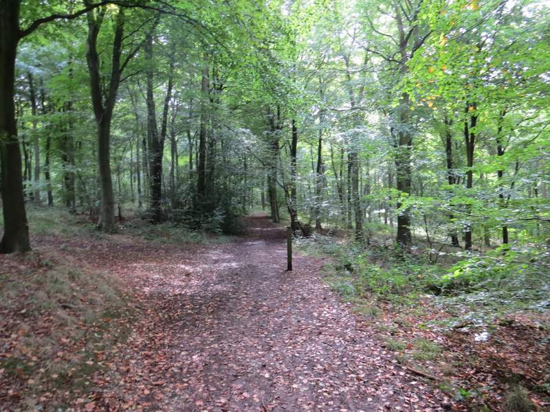
I carried on along the path, passing close to the top of Boddington Hill on my left (there is a hill fort there, but I couldn't really see it). I went left at a junction where a path came in on my right, then turned right at the end of the track. I was now on the main track leading to the car park and visitor centre in Wendover Woods. After several hundred yards I turned right along a track or drive that passed through the 'Go Ape!' activity area (with people on high wires overhead). I continued past the car park on my left, and carried on along the exit drive until I came level with the visitor centre on my left (and a small blue traffic sign), where I took a path going right.
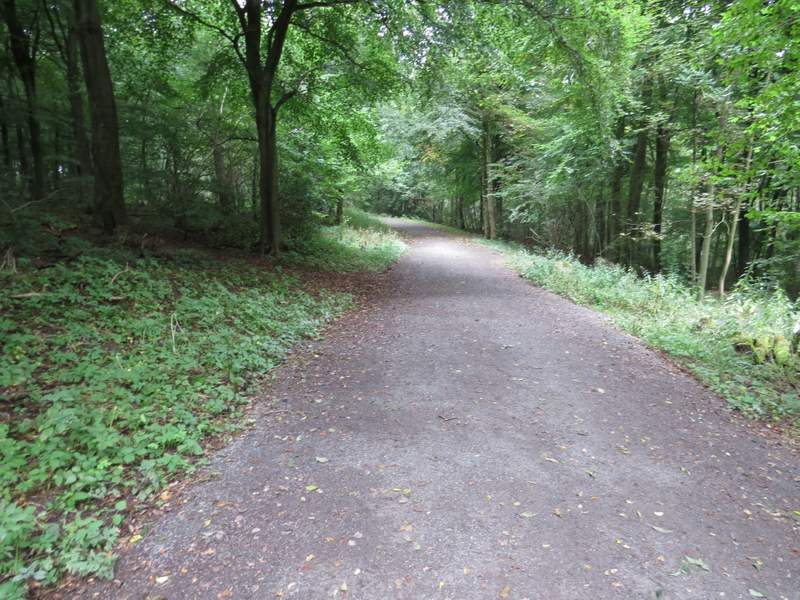
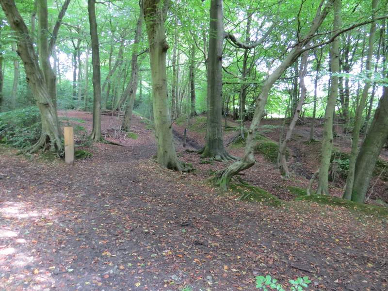
The track on Boddington Hill
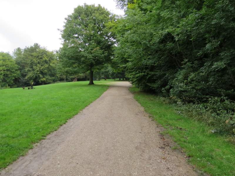
The main track (after I turned right) to the visitor centre in Wendover Woods
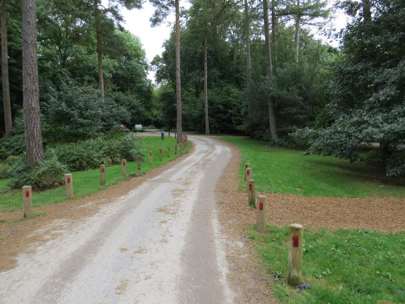
The drive from the car park, through the 'Go Ape!' area
After a hundred yards or so, I turned left immediately after a bench, onto a surfaced path leading to some other activity area. But after another hundred yards or so, I took another path that started by passing between some railings on the right. This path is not shown on the OS map (it runs somewhere to the east of a path the map does show) but runs southwards through the easternmost part of Wendover Woods (initially the exit drive from the visitor centre was a little way to my left. I kept straight on at a number of path junctions, following the clear and level path through the woods for over half a mile.
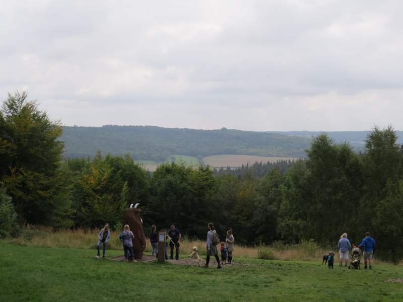
View over The Hale to Barn Wood (where I'd be later on) - The Gruffalo seems to be enjoying the view!
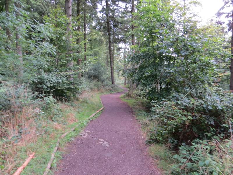
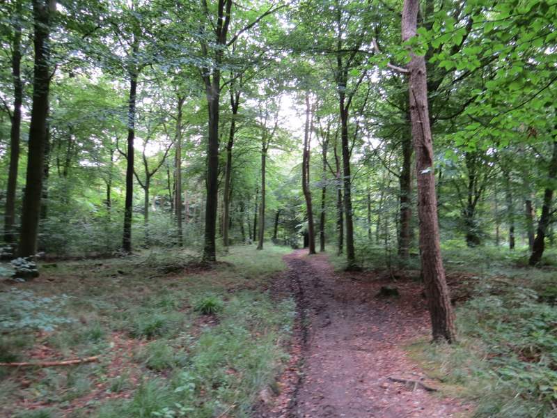
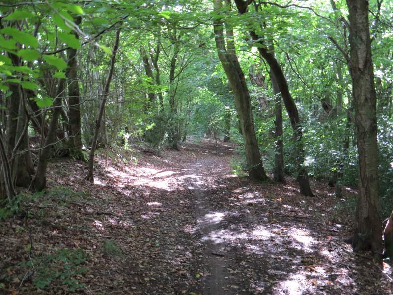
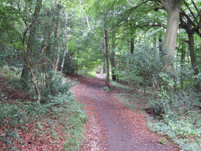
The start of the footpath through Wendover Woods
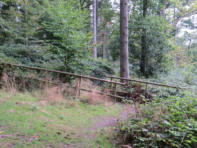
The path continues through these barriers
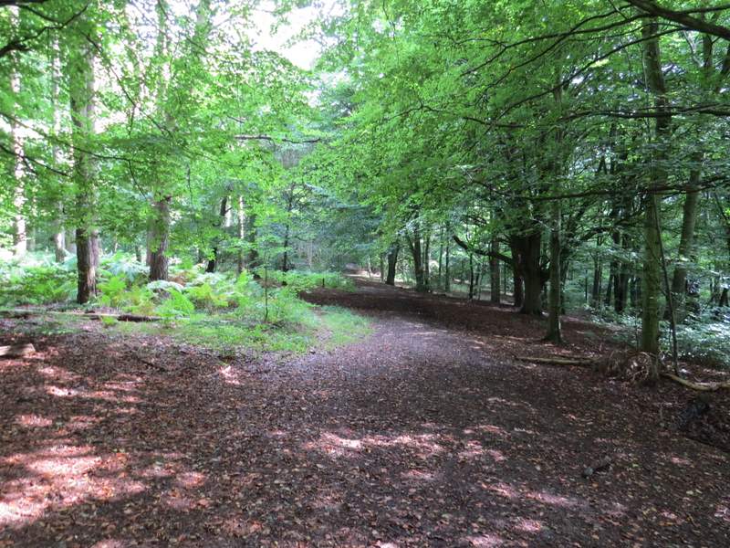
The path through Wendover Woods
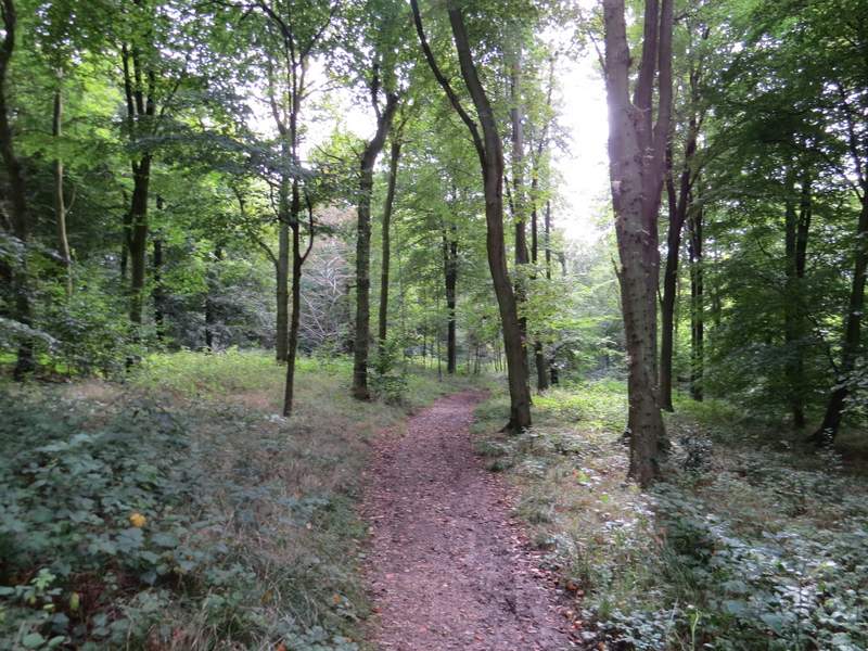
The path through Wendover Woods
The path through Wendover Woods
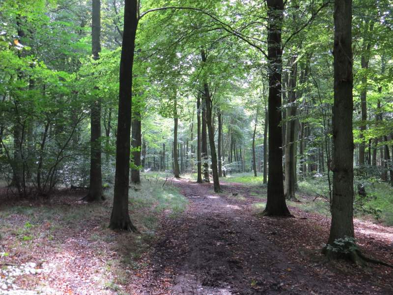
The path through Wendover Woods
The path through Wendover Woods
Eventually I reached a junction where a path went left and I could see the path ahead starting to drop steeply. Here I took the path on the left, which after a while turned right (I must have been on the western edge of Hengrove Wood here) and brought me to a junction with another part of the Ridgeway (here rising uphill along another sunken lane). I crossed over and continued along a path on the other side, still in the woods but with fields close by on my left. After a few hundred yards this path joined the Ridgeway, where I continued more or les straight on and soon reached a lane (Hale Lane, which I'd been on earlier).
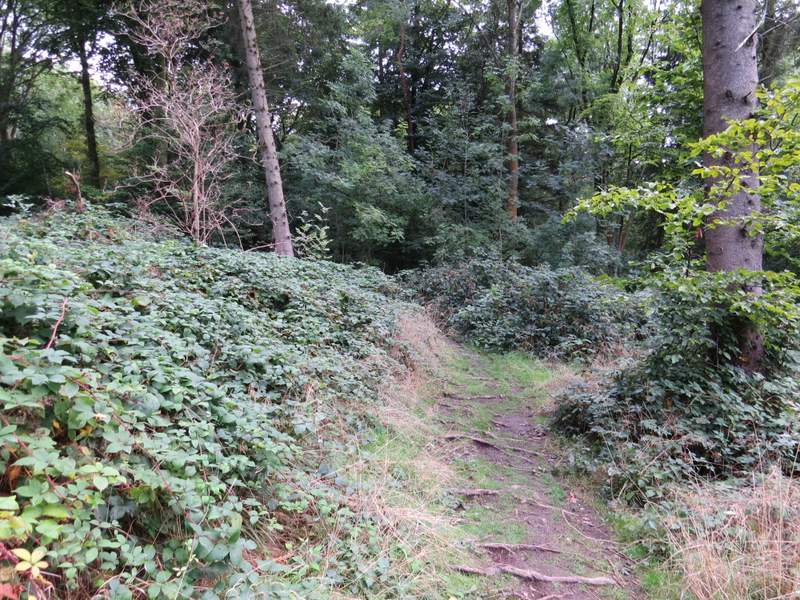
The path after I turned left in Wendover Woods
The path approaching where it crosses the Ridgeway (which is going uphill in a sunken lane)
The path continuing the other side of the Ridgeway
The Ridgeway, heading towards Hale Lane