Pete's Walks- Chenies, Ley Hill, Chipperfield Common (page 1 of 5)
If you are considering walking this route yourself, please see my disclaimer. You may also like to see these notes about the maps and GPX files.
I did this circular walk of about 13.3 miles on Sunday, 2nd October 2016. It was a repeat of a walk I did in July 2012.
I parked in the centre of Chenies, close to the old pump on the green (Grid Reference TQ 016984) and started walking about 9:55am. I started by going down the drive towards Chenies Manor, with the village church on my right. In front of the gate to the Manor I took a footpath going right. this soon entered a wood, where I went straight on at a junction where other paths went left and half-left. The path dropped steeply down through the wood to reach the minor road through the Chess Valley (which I'd just driven along on my way to Chenies) at Chenies Bottom. I crossed over and went down a lane almost opposite. Just after the lane turned right and then left (where it crossed he river Chess), I turned left onto a footpath that started beside Mill farm. It was then a very pleasant walk along the Chess Valley for about three-quarters of a mile until I reached a road on the edge of the village of Latimer.
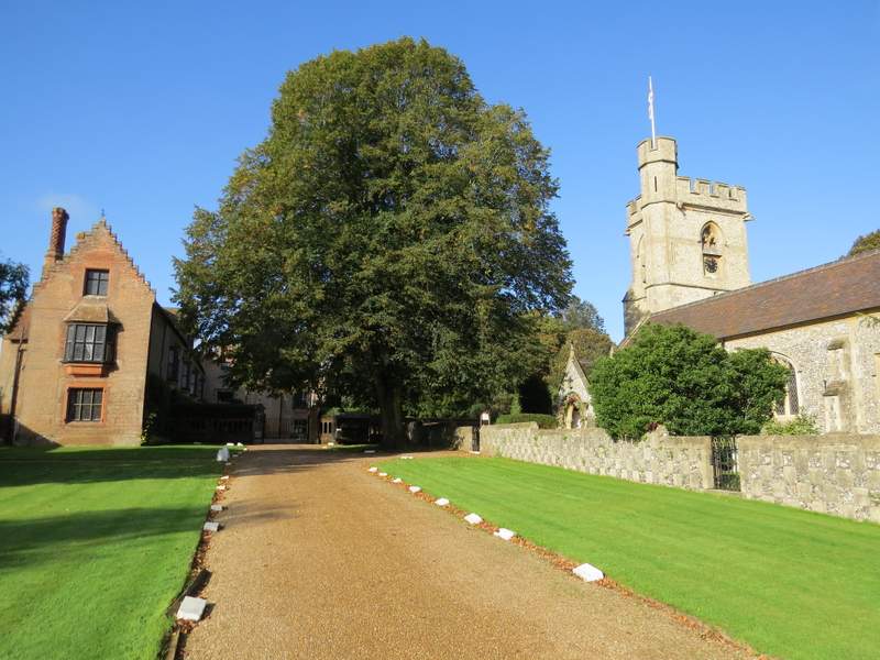
Chenies Manor and Chenies church
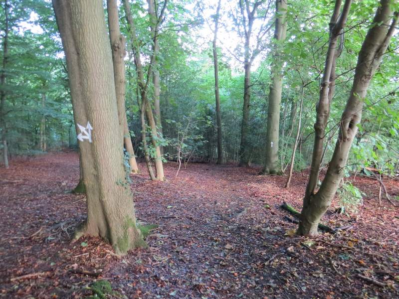
The path from Chenies Manor down to Chenies Bottom
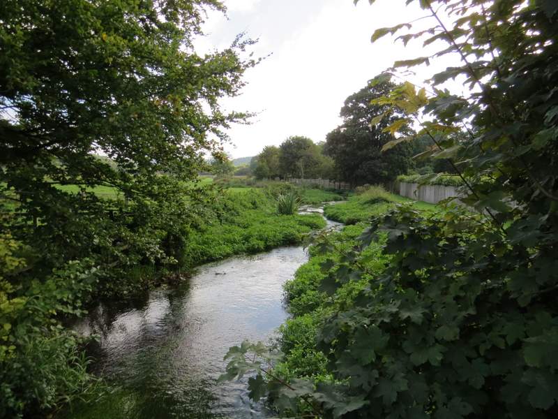
The river Chess at Chenies Bottom
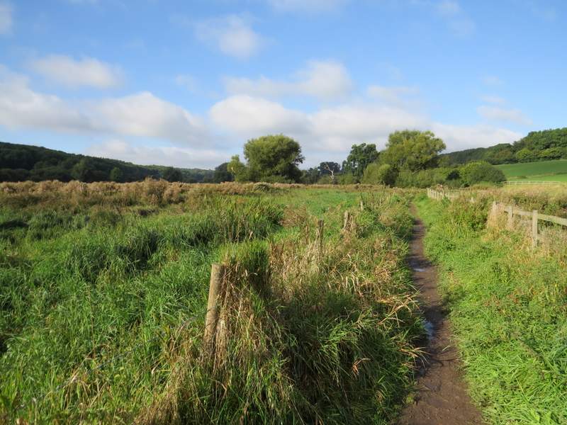
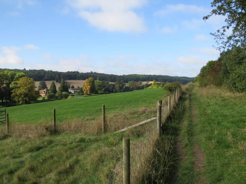
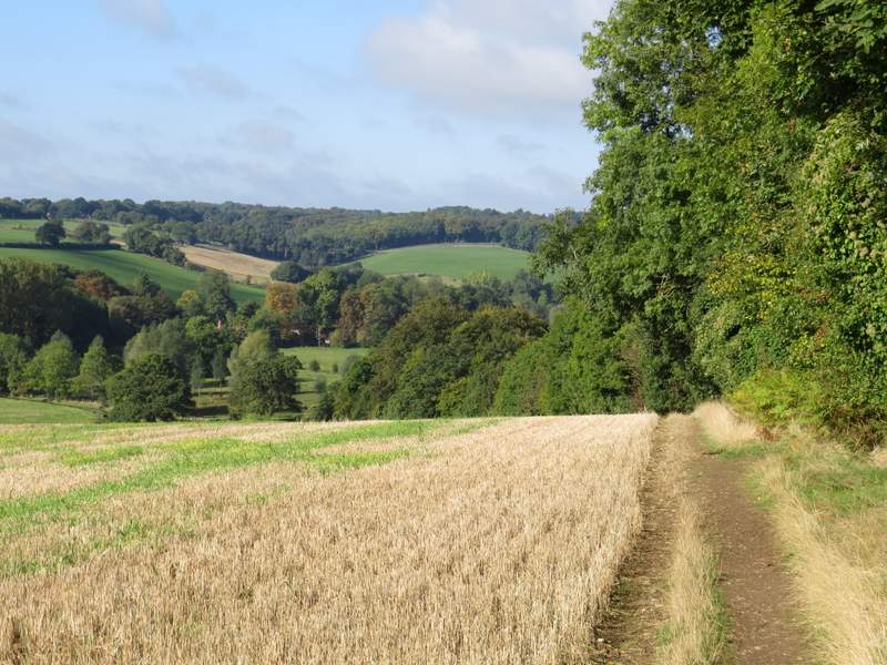
Near the start of the bridleway from Chenies Bottom to Latimer
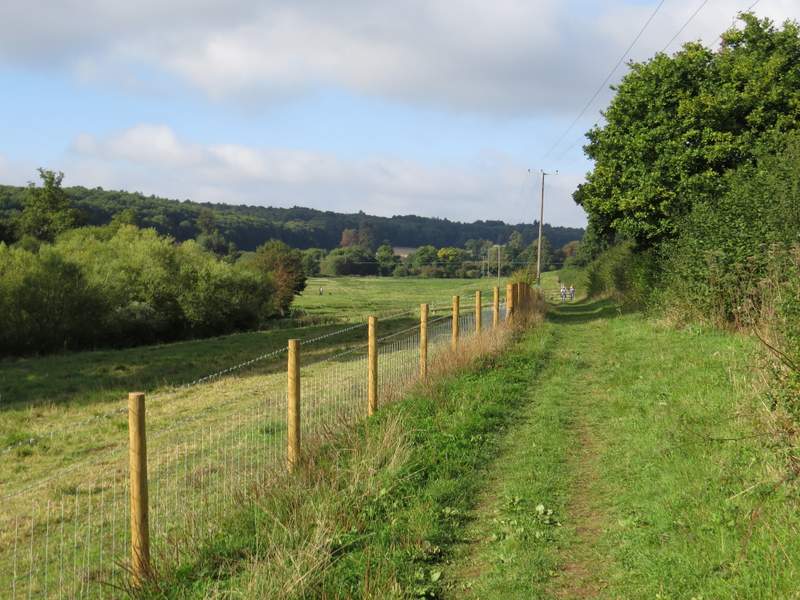
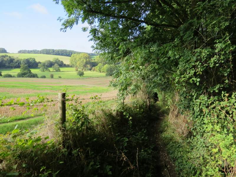
Further along the bridleway to Latimer
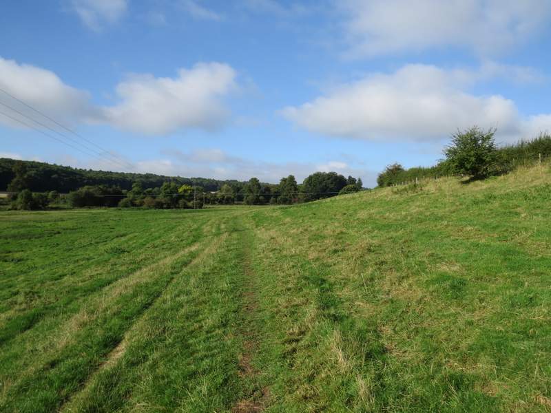
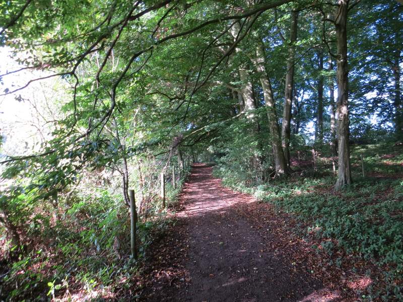
Further along the path to Latimer (the map shows the bridleway goes slightly left just before this point)
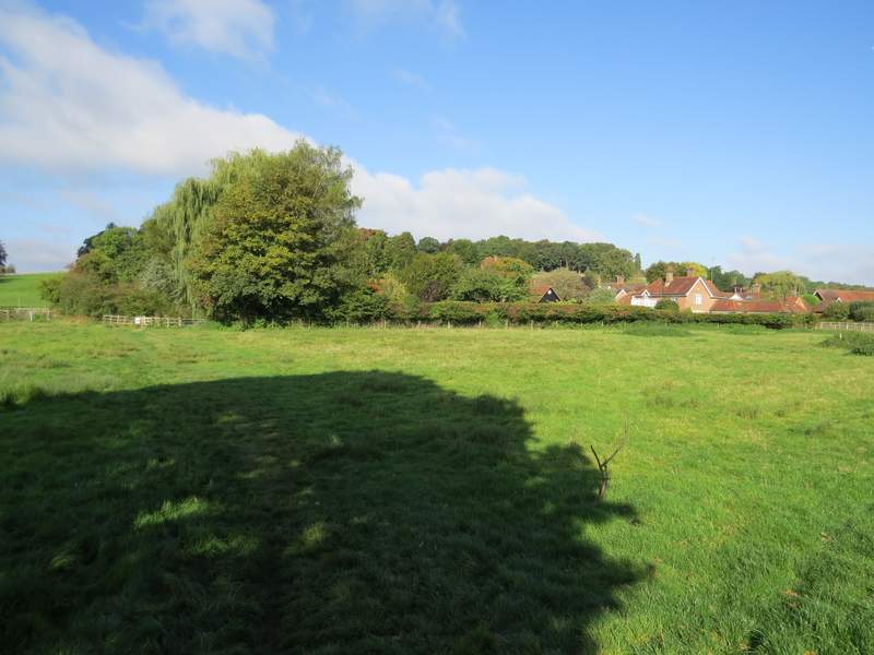
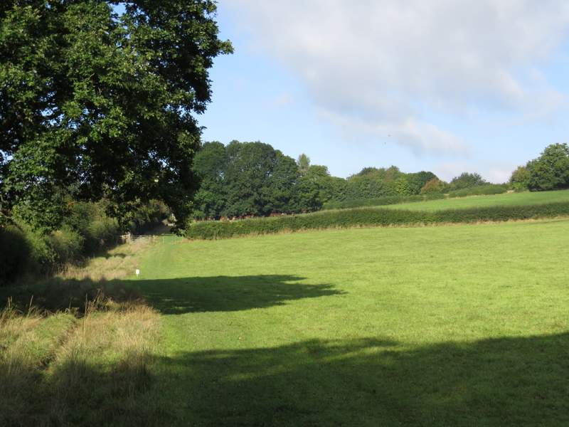
Approaching Latimer
Across the road, I took a path going straight on and slightly uphill (another path forked half-left). I crossed a drive or track, and continued along a path between a wire fence and a hedge on my right. Having gained a little height there were even finer views along the Chess Valley, and I was so distracted by them that I totally failed to notice the historic Latimer House on my right! Beyond the big house there were woods on my right, and the path followed their edge for over half a mile.
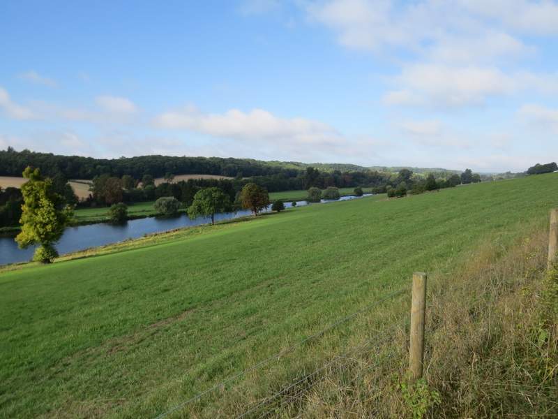
Looking back along the Chess Valley from near Latimer
The path from Latimer
The Chess Valley, seen from the path from Latimer
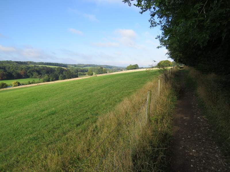
The path from Latimer
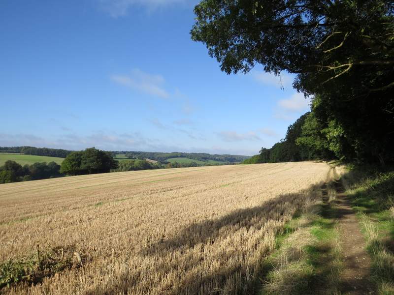
The path from Latimer
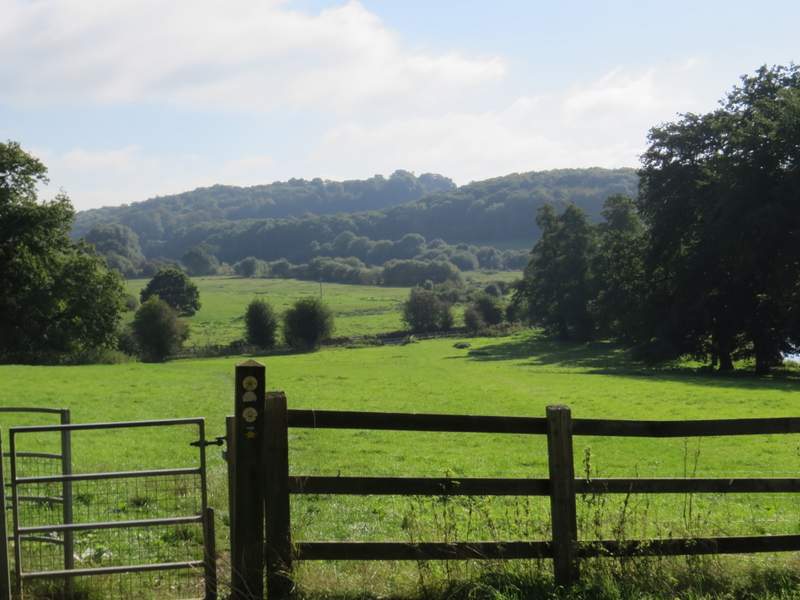
Looking across the Chess Valley towards Chesham Bois, just before the path from Latimer reaches a path junction
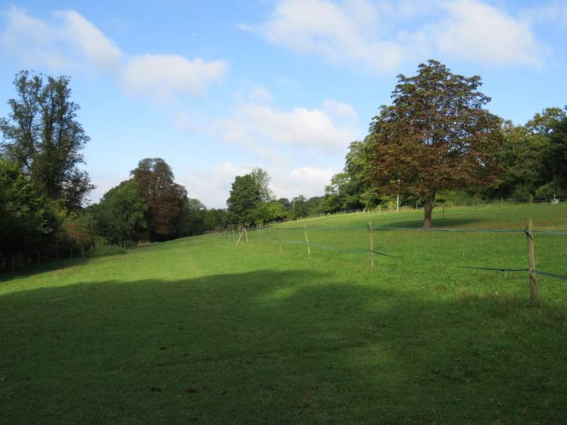
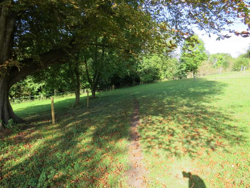
Eventually, when the wood started to descend into the valley, the path turned into the wood and immediately came to a path junction. Here I turned left, and followed the path steadily downhill just inside the wood. At the end of the wood, the path continued along the valley bottom, following a hedgerow on my left through three cattle pastures that were linked together by open gates (the cattle were congregated at the end of the third field). At some point I'd joined the route of a Charity run (the Ley Hill Challenge) that was being held today, and after I passed Blackwell Farm I came a cross a couple of marshals for the race who'd just put out cups of water for the runners. I went straight on down a lane for a few yards, then took a footpath on the right that started down a drive. It soon turned left, and continued through some paddocks and then an overgrown meadow to reach a hedge-lined bridleway.
The path after the junction, descending into the Chess Valley
The path continuing at the bottom of the slope
The path continuing through the cattle pastures to Blackwell Farm
The path from Blackwell
The path from Blackwell