Pete's Walks- Little Missenden and Forty Green (page 3 of 6)
If you are considering walking this route yourself, please see my disclaimer. You may also like to see these notes about the maps and GPX files.
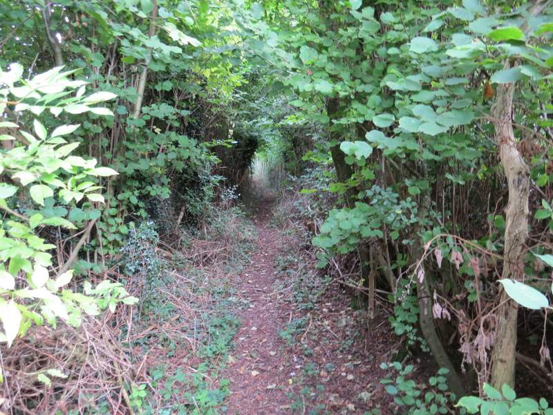
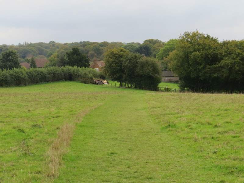
Beyond Brook Wood, the path followed a headland between two ploughed fields, dropping down into a valley where it crossed the route of the Chiltern Way (following a hedgerow, and coming from Penn Bottom just to my left). The shower had more or less stopped by now. The path continued up the other side of the valley, following the same headland between two more ploughed fields, to reach Vicarage Wood. The path continued through the wood, then I passed through a pub car park to reach a road in Penn.
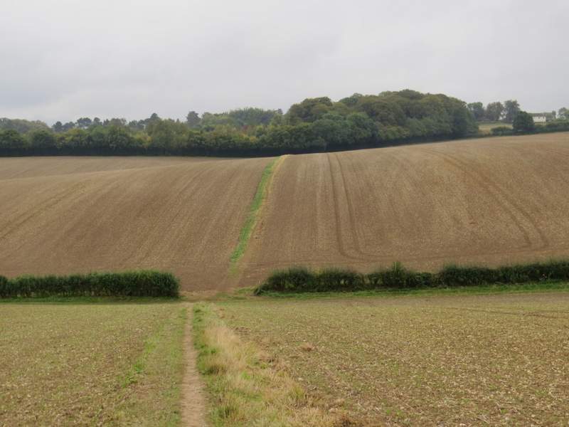
The path from Brook Wood to Vicarage Wood (the Chiltern Way route runs along this side of the hedgerow)
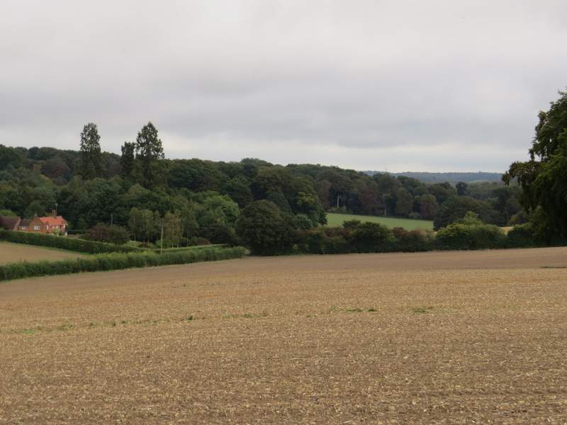
Looking left from a little further along the path
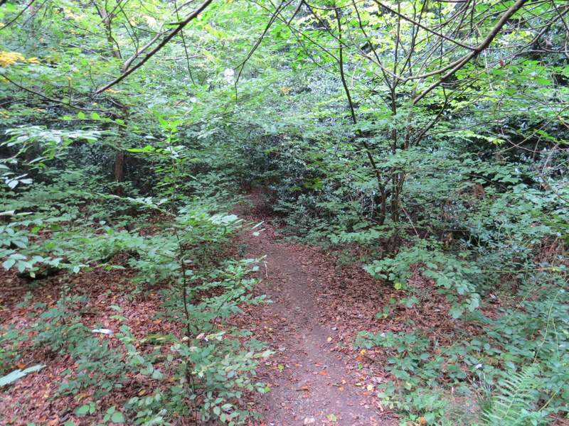
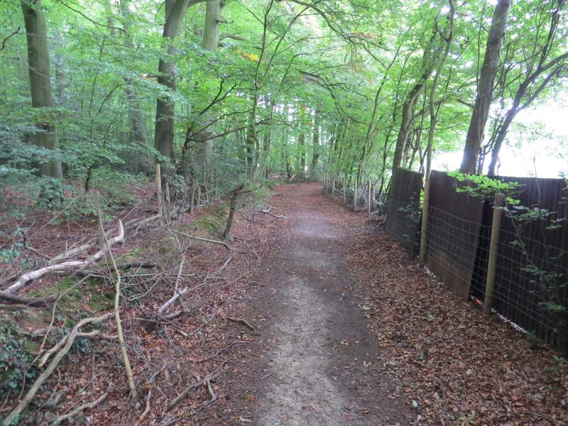
Vicarage Wood

Vicarage Wood
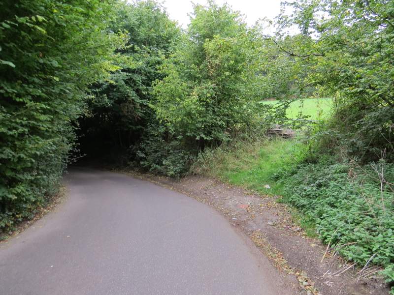
I went a very short distance right along the road, then went down a lane called Paul's Hill that started on the opposite side. I passed the village church on my right, and soon left the village behind as the lane dropped gently downhill between tall hedges either side. I made a mistake here, and missed the footpath I meant to take on the left. By the time I realised my mistake, I'd gone too far down the lane to want to go back, so I continued down the lane for almost half a mile, keeping left at a fork and soon after taking another footpath on the left instead. This path took me to a footpath junction on the edge of Corkers Wood, where I turned right and thus rejoined the route I used last time (I have not shown this unintended diversion on my Google map, nor would I recommend it).
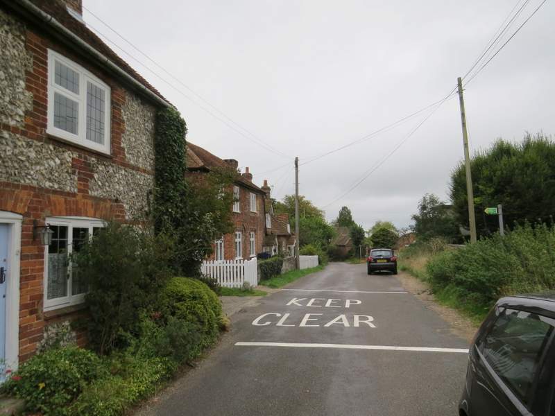
The start of Paul's Hill, Penn
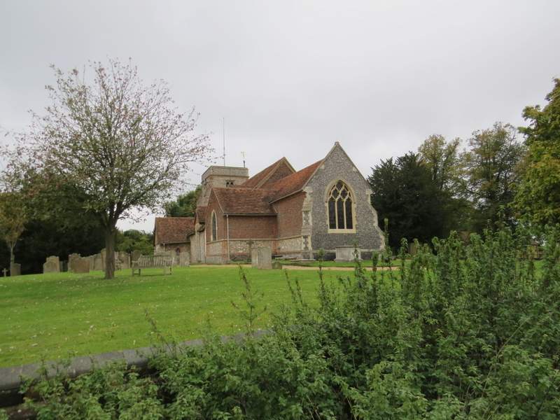
Penn church
Much further along Paul's Hill (after I missed a turning on the left)
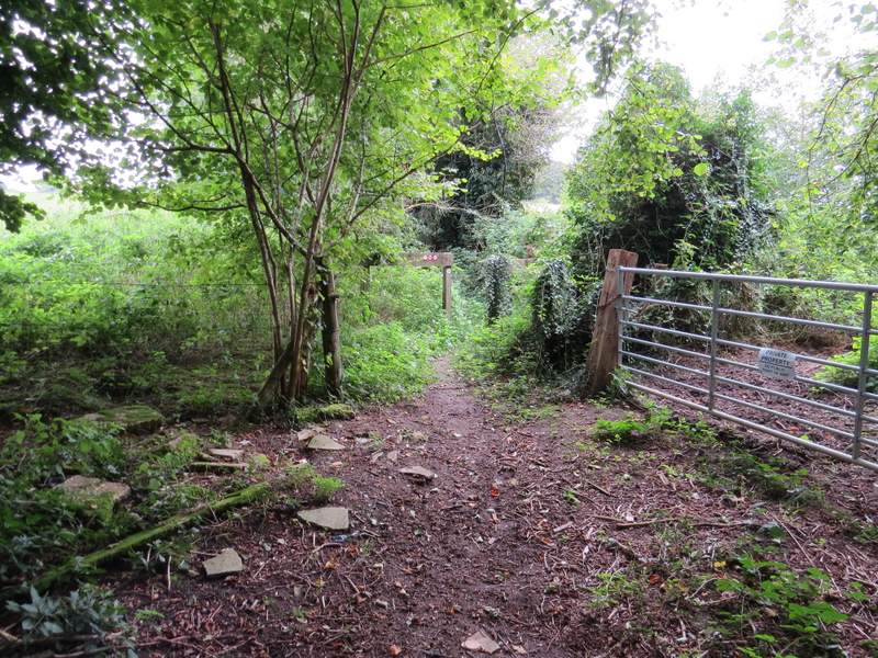
The start of the path after I turned left
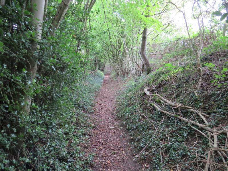
The path after I turned left from Pauls Hill
The path after I turned left from Pauls Hill
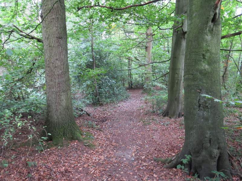
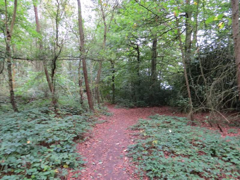
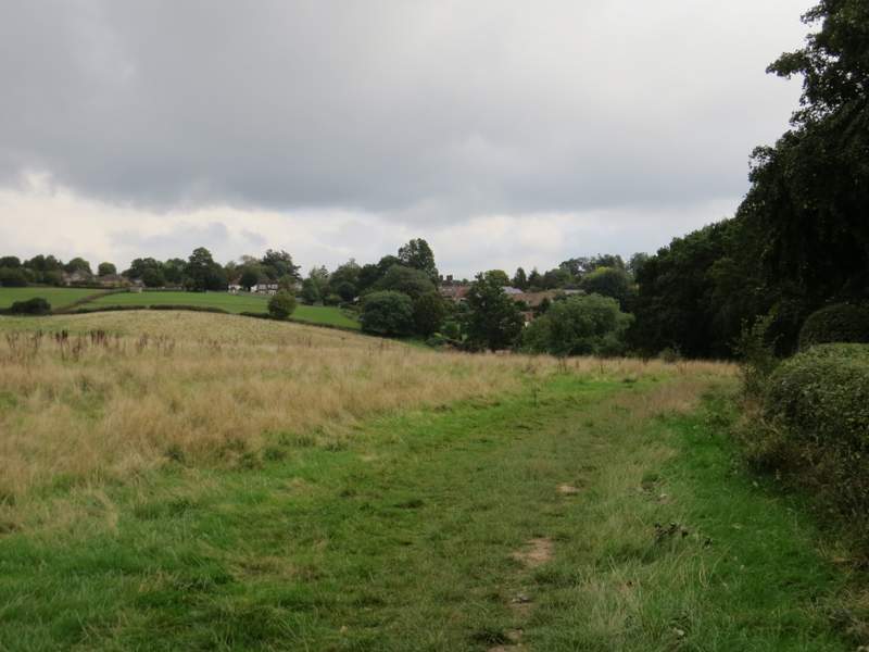
The path followed the edge of Corkers Wood, then at some point entered Saunder's Wood. I went straight on when another path went right to leave the wood. A few hundred yards further on my path merged with another one coming in from the left, and the joint path left the wood, crossing a very narrow field (not apparent on the OS map) and then a couple of meadows to reach the edge of Forty Green (on the northwestern edge of Beaconsfield). I turned sharply left, staying in the second of the meadows, to reach a gate, where a footpath continued with the properties of Knotty Green to my right and a field of rough grass to my left. Beyond this field the path continued between more garden boundaries and a wooden fence on my left, until I reached a gate on the right where another path entered Knotty Green.
The path to Forty Green
The path to Forty Green
The path to Forty Green
The path to Forty Green
The path along the edge of Forty Green
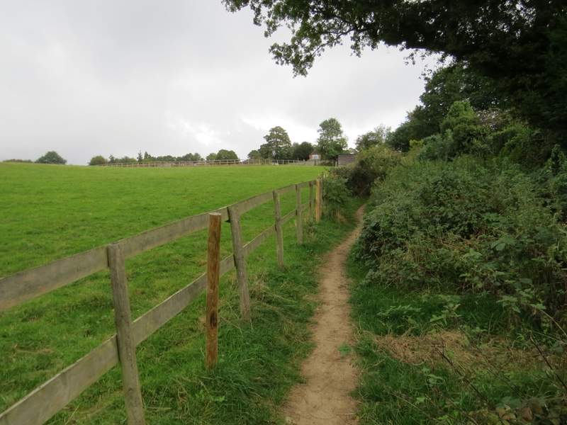
The path along the edge of Forty Green
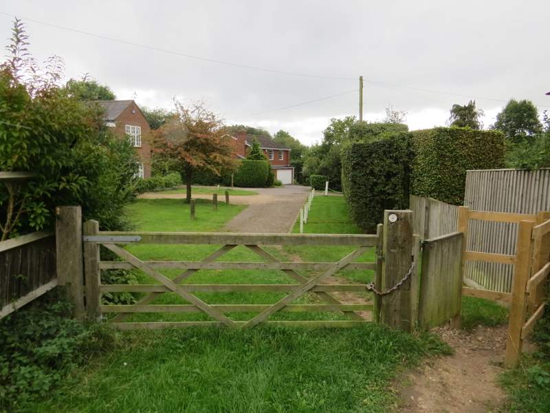
The start of the path into Forty Green