Pete's Walks- West Wycombe, Lacey Green, Bledlow Ridge (page 3 of 7)
If you are considering walking this route yourself, please see my disclaimer. You may also like to see these notes about the maps and GPX files.
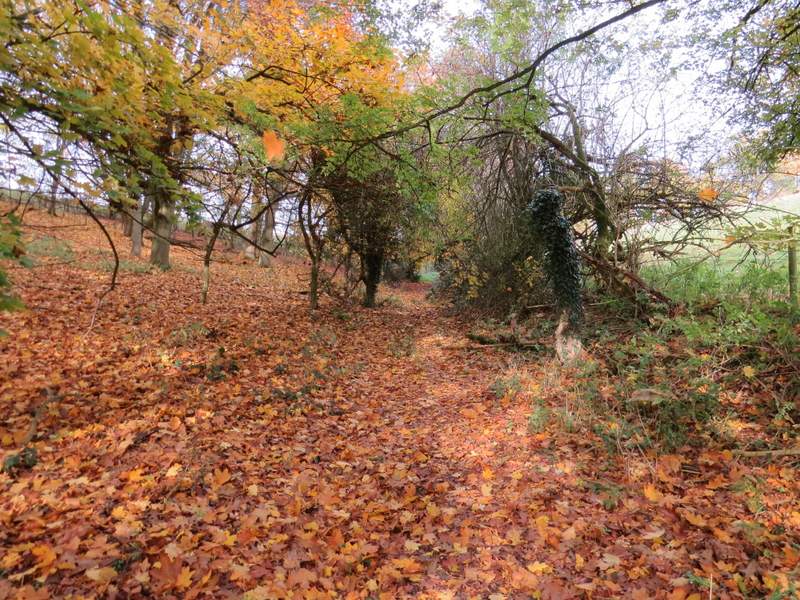
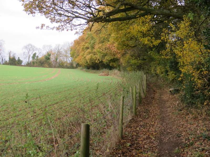
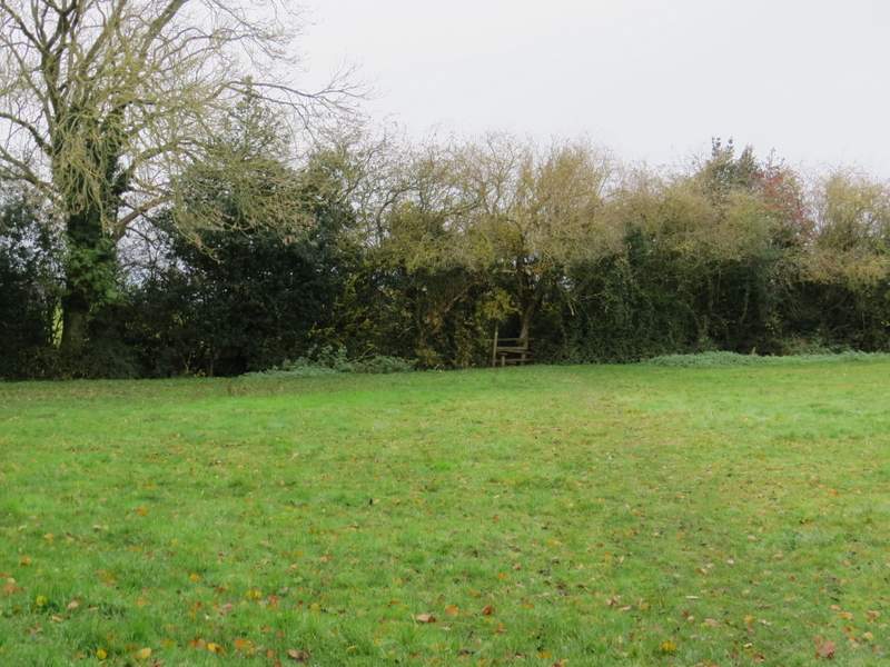
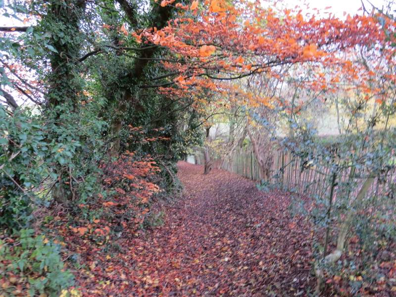
I turned right along the lane, now entering what was new territory for me. After a couple of hundred yards or so I took a footpath on the left, which went slightly right across a small corner of a large grassy field. The path then ran through the right edge of a small wooded area, then continued for some distance between a wire fence and a hedge, with a large arable field over the fence. After going through two metal kissing-gates either side of a track, the path continued between fences for a short while to reach part of Lacey Green.
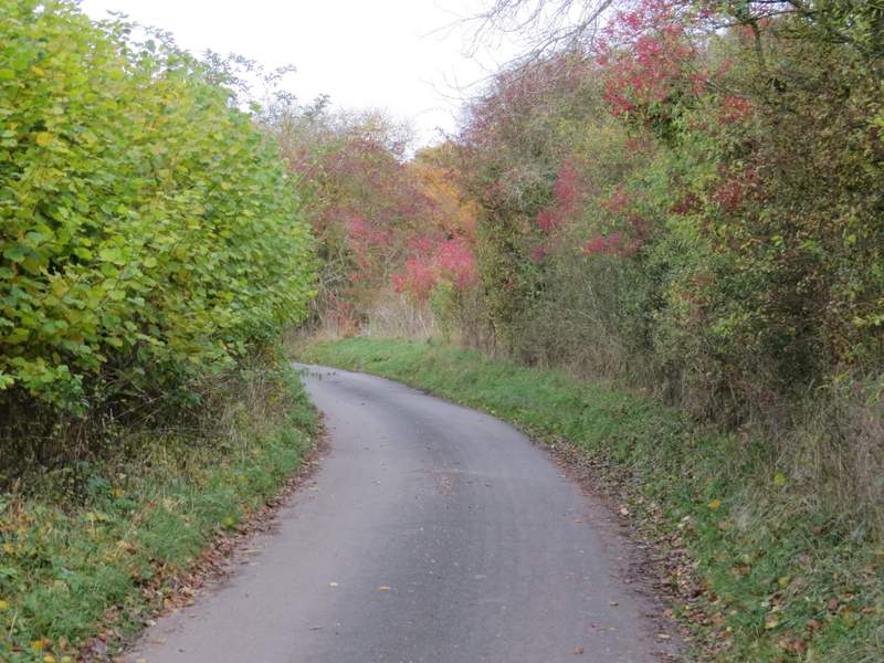
Smalldean Lane
The start of the path from Smalldean Lane to Lacey Green (it goes slightly right, into the corner, not uphill)
The path from Smalldean Lane to Lacey Green
The path from Smalldean Lane to Lacey Green
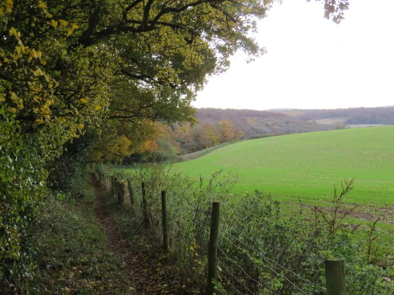
Looking back along the path from Smalldean Lane to Lacey Green
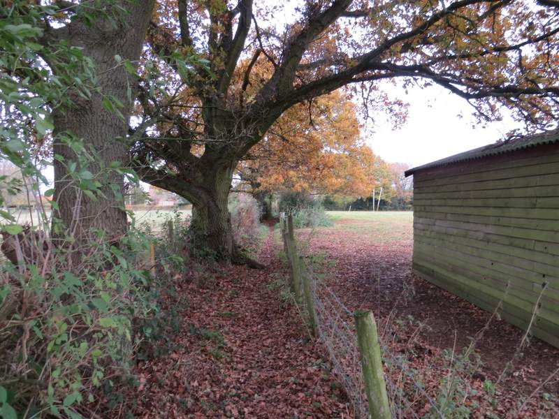
The path now approaching Lacey Green
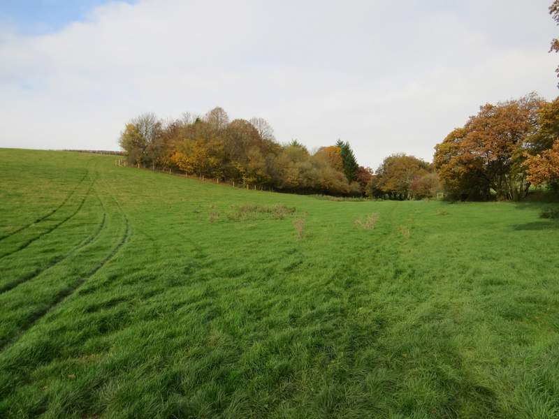
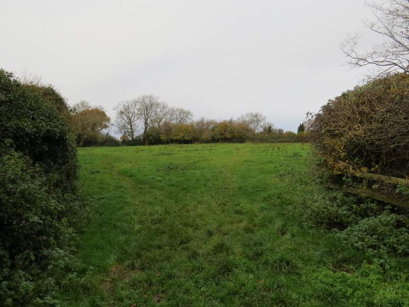
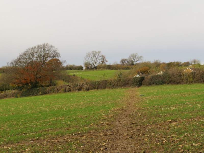
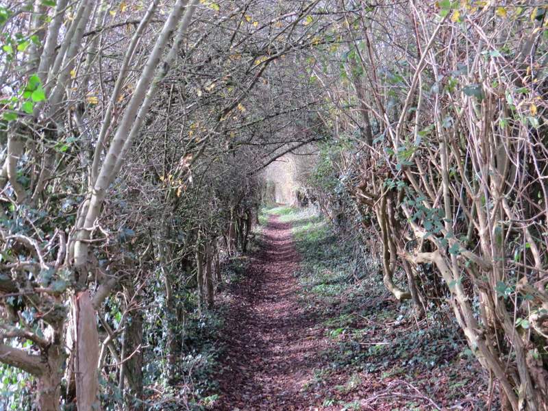
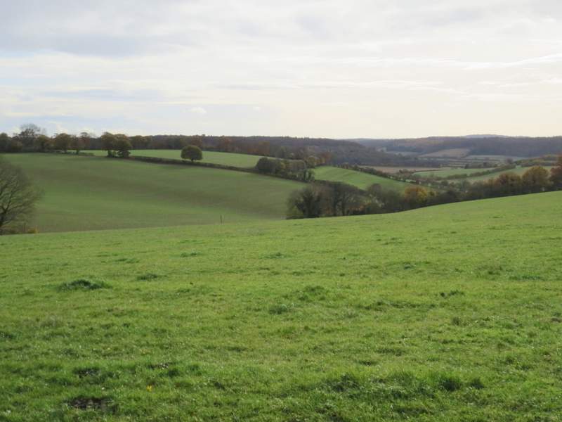
Here I turned left along what the OS map marks as an 'other route with public access' (it looked like a village street to me). After going past a footpath sign on the left I was back on familiar territory for a few yards, until I took the next footpath on the left. This crossed a meadow (on entering the meadow there is an apparent path fork where the footpath keeps right), then went half-left across a corner of a second meadow. Over a stile, the path went half-right across the corner of an arable field - there was an unusual view here, where the top of Lodge Hill appeared above a green ridge, with the ridge leading to Wain Hill behind it. Over another stile, the path went half-left to the corner of a small pasture, then ran beside a garden to reach the end of a street in another part of Lacey Green.
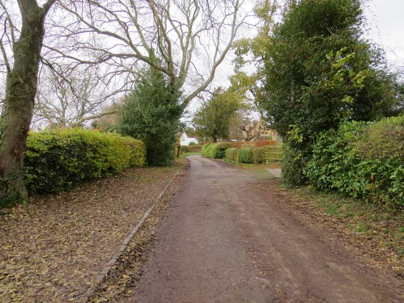
The lane in Lacey Green (the OS map marks it as an 'other route with public access')
The start of the path going left from the lane in Lacey Green (the footpath is the fainter path forking right)
The path continues across the corner of this field
The footpath then goes across the corner of this field
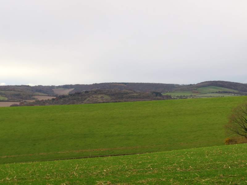
I was struck by this view, I have never seen anything similar in the Chilterns - the top of Lodge Hill appears over a green ridge (there is actually a one mile wide valley between them) and is then itself overtopped by a ridge running from Bledlow Ridge to Wainhill on the right. This was taken from the same spot as the previous photo.
The path continues across this pasture to touch another bit of Lacey Green
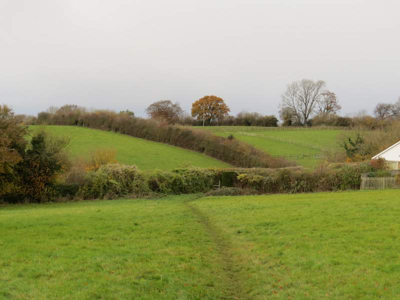
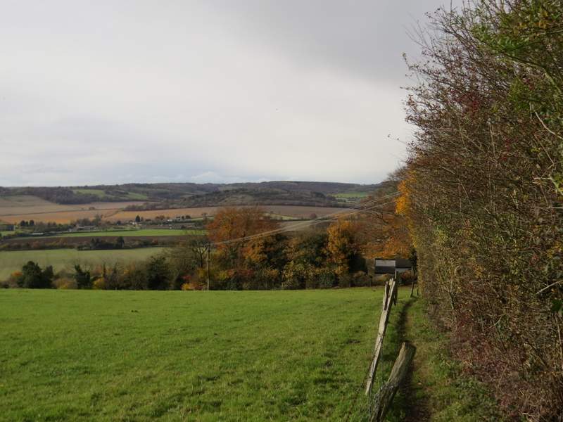
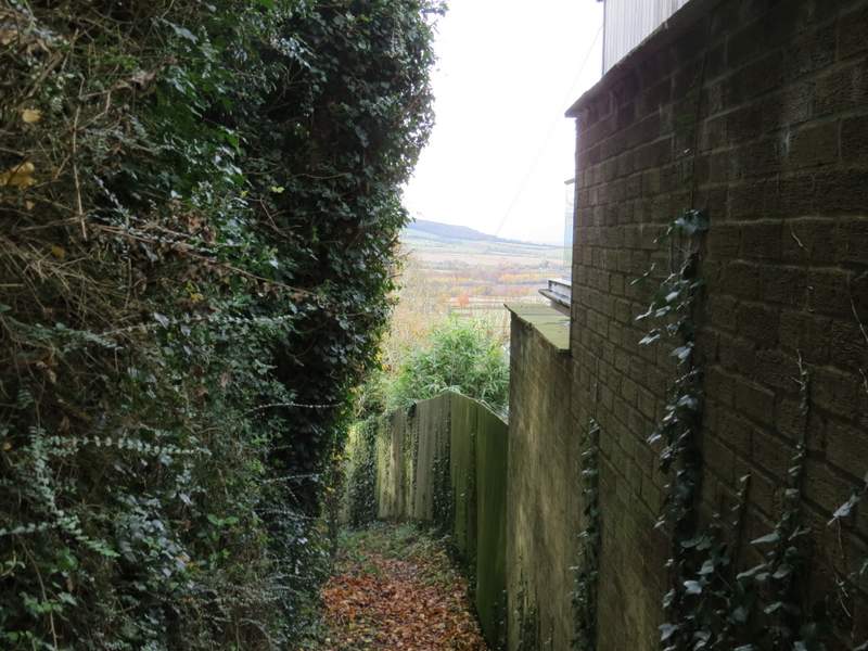
I turned left, and followed a short path downhill between an old hedge and garden fences to reach a track or drive. A footpath continued on the other side, running between hedges but with occasional pleasant views out to the left. Further on the hedge on the left was replaced by a fence, and then the path dropped downhill a short way between garden boundaries to reach a street in Loosley Row.
The path after I turned left (from the end of a street in Lacey Green)
The path continuing to Loosley Row, after I crossed a track
A view left from the path to Loosley Row
The path to Loosley Row
The path as it reaches Loosley Row