Pete's Walks- Maidensgrove Common and Henley (page 1 of 6)
If you are considering walking this route yourself, please see my disclaimer. You may also like to see these notes about the maps and GPX files.
I did this circular walk of about 14 miles on Saturday, 17th December 2016. It was a repeat of a walk I did in November 2011. That walk was intended to be a repeat of a walk I did in March 2011, but in the opposite (anti-clockwise) direction. However, I got a bit confused at one point and started following the route of another walk instead! This unplanned 'diversion' added almost a mile to the length of the walk, but certainly didn't distract from the pleasure of the walk as it took me to the attractive hamlet of Shepherd's Green. So that was the route I repeated this time - it is shown as 'alternative 1' on the Google map.
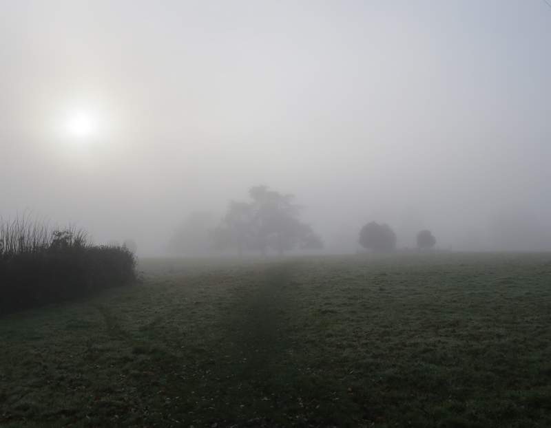
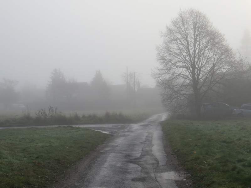
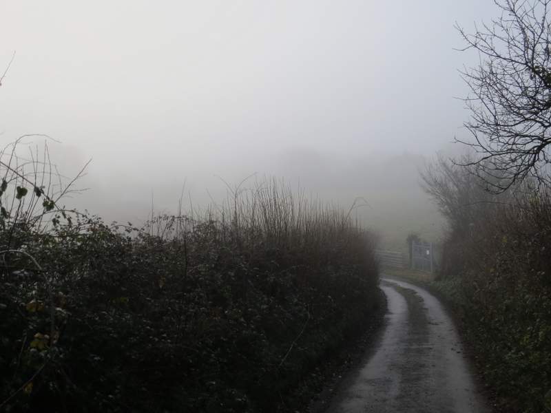
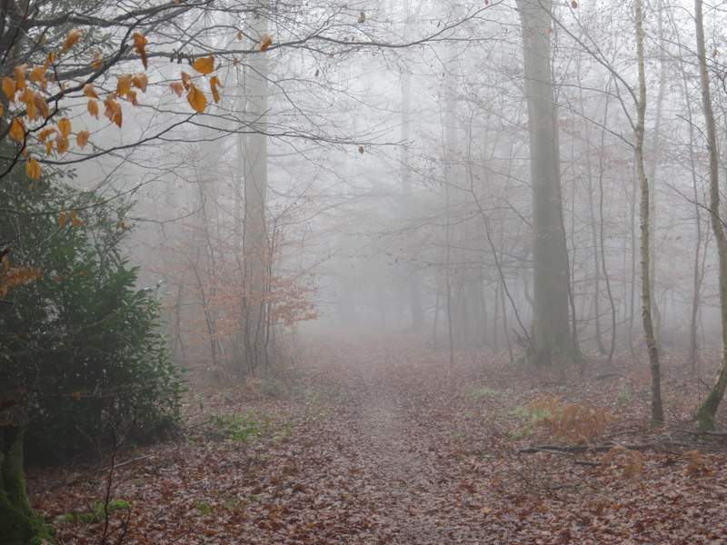
Today was a very foggy day, unfortunately, so the photos aren't really up to much.
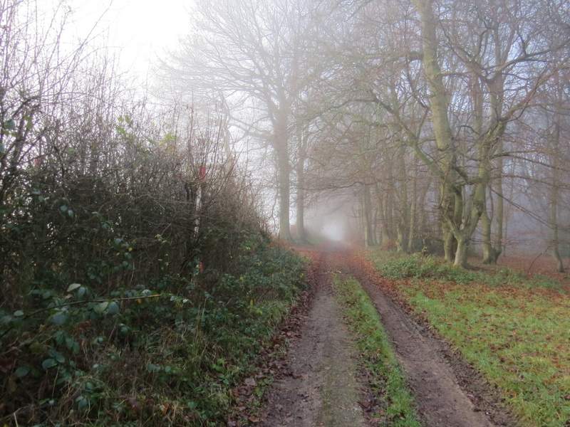
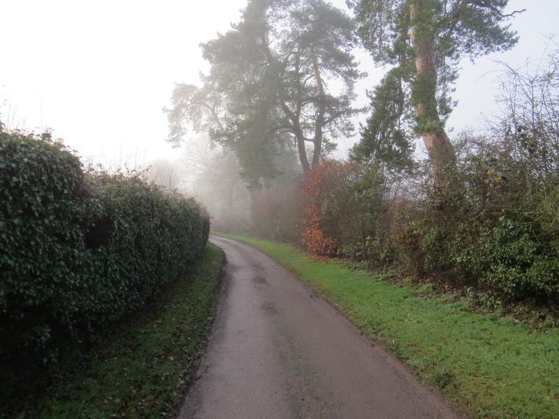
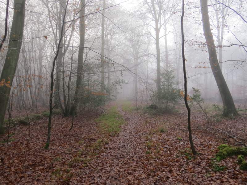
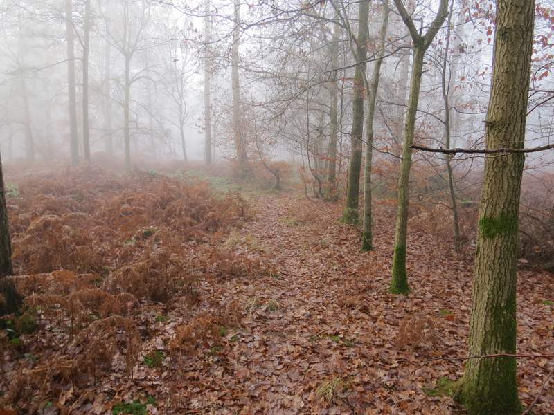
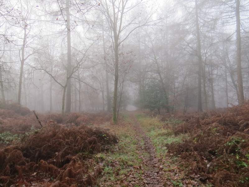
I parked alongside the lane that crosses Maidensgrove Common, Grid Reference SU717886 (it's at least the fifth time I've started a walk from here this year). I started walking about 9.55am, and took the byway that starts from where the lane turns right on the edge of the common (to go to Russell's Water). This hedge-lined track was soon heading downhill and after a quarter of a mile or so entered the woods of the Warburg nature reserve. In the valley bottom I crossed another byway, the one I was following then turning slightly left and rising a short way uphill before curving right and gradually descending into another valley. Here I again crossed another byway and again started uphill - this was a longer climb, but at a fairly easy gradient. By now I was getting used to the foggy conditions, and instead of being annoyed with them I decided they were quite 'atmospheric' and rather interesting. After a while the woods on my left ended, replaced by a hedge and fields, and a little further on the byway became a surfaced drive, close to Soundess House over to my left.
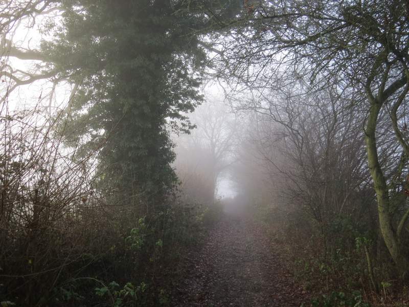
Near the start of the byway from Maidensgrove Common to the Warburg nature reserve
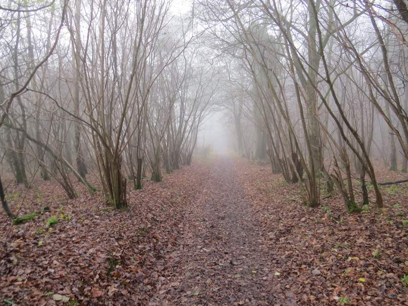
The byway descending through the Warburg nature reserve
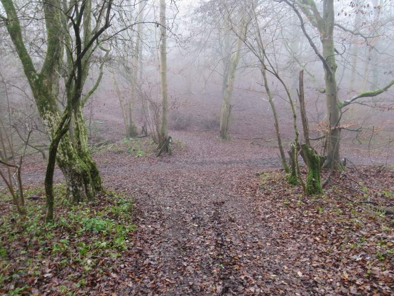
The first byway crossing in the Warburg nature reserve
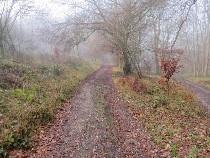
Immediately after the second byways crossing in the Warburg nature reserve
Further along the byway
A short way along the drive I took a footpath that forked half-left, crossing a large pasture (it is dotted with trees, so I've always presumed it's part of the park around Soundess House). The path brought me to Crocker End, where I continued down a lane that crossed the green here. I kept right at a junction, and continued along the lane the short way from Crocker End to Catslip, and then to the end of the lane where it met the A4130.
The 'lane' that is the continuation of the byway, near Soundess House
The footpath to Crocker End
Crocker End
The lane between Crocker End and Catslip
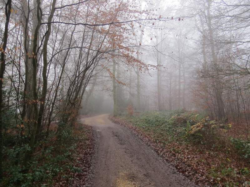
Across the road I continued along a bridleway into Lowercommon Wood. I looked out for the point after a few hundred yards where the bridleway went right (white arrow on tree). After another hundred yards or so it turned left, only to turn right again in another hundred yards. After a while I crossed a byway in a small valley (this is marked Oxlands Bottom on the OS map, I presume this is the name of the valley rather than the wood), beyond which I was on a footpath rather than bridleway. After maybe a quarter of a mile I reached a junction with another footpath, where I turned left. Within a few hundred yards this path ended at a junction of paths and drives where I went straight on, along the drive from a large house named Merrimoles which was just to my left.
The bridleway through Lowercommon Wood
The bridleway through Lowercommon Wood, after the first time it turned right
The bridleway through Lowercommon Wood, after the second time it turned right
Approaching Merrimoles
The drive from Merrimoles