Pete's Walks- Christmas Common, Turville, Cadmore End (page 1 of 6)
If you are considering walking this route yourself, please see my disclaimer. You may also like to see these notes about the maps and GPX files.
Google map (this walk started at Christmas Common instead of Watlington Hill, and follow 'Alternative 1' on the map)
I did this circular walk of about 14 miles on Tuesday, 27th December 2016. It was a repeat of a walk I last did in October 2011.
I parked in Christmas Common (a few yards down the road that forks off to Northend, there are a few places on the right), Grid Reference SU 714933, and started walking at about 9.35 (I'd deliberately left home almost half an hour earlier than usual, as I was a little concerned about finishing the walk in daylight, this being one of the shortest days of the year). I went the few yards back to the road fork and turned left. Shortly after passing the Fox and Hounds pub on my right, I took a footpath on the left that soon entered Queens Wood. On the far side of the wood the path went a few yards left along a drive to reach Hollandridge Lane, where I turned right. Just past the last house on the right I took a bridleway on the left. This dropped gently downhill through a wood named Prior Grove, to a valley bottom where it turned right (a footpath went straight on, towards Northend). I was now in Fire Wood, and had simply to follow the bridleway through the wood and along the valley bottom for about a mile.
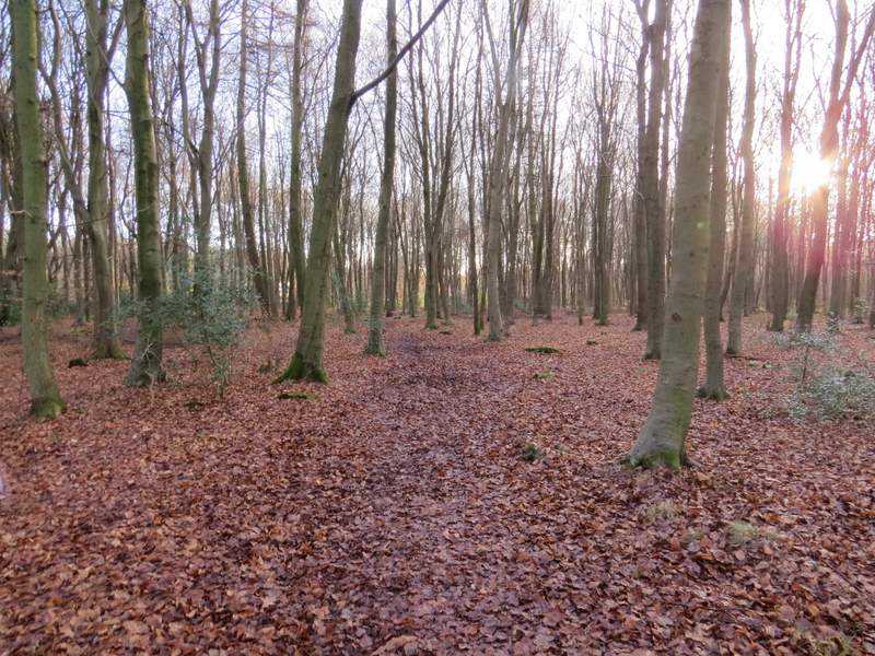
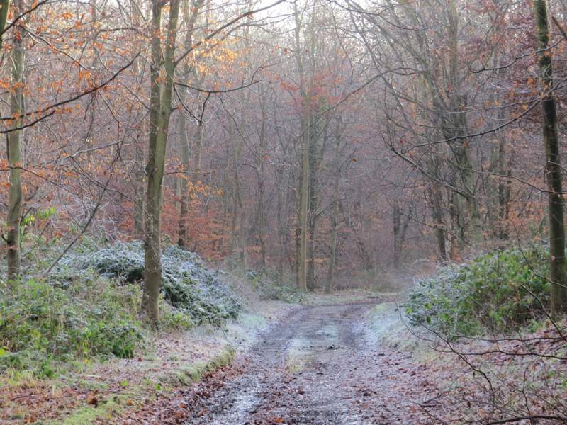
Path through Queen Wood, Christmas Common
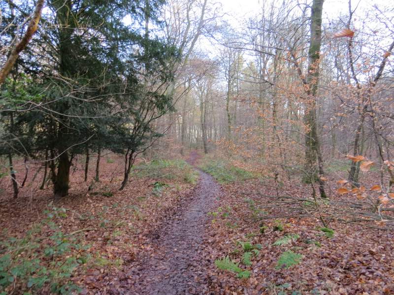
The bridleway in Prior's Grove, Christmas Common
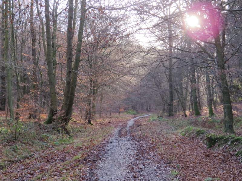
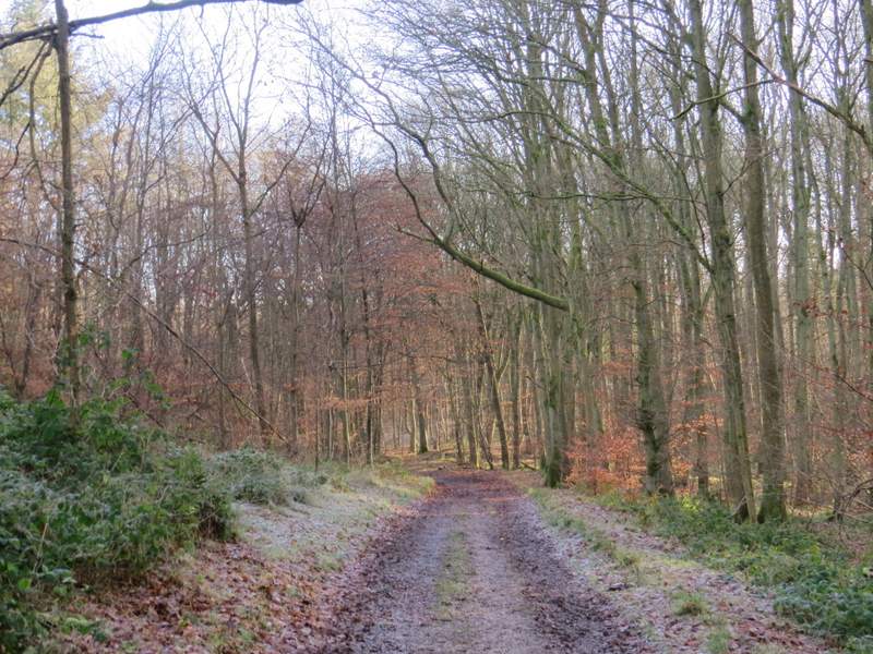
The bridleway continuing through Fire Wood
The bridleway through Fire Wood
The bridleway through Fire Wood
The bridleway through Fire Wood
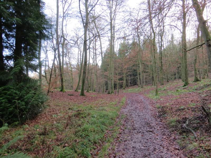
The bridleway through Fire Wood
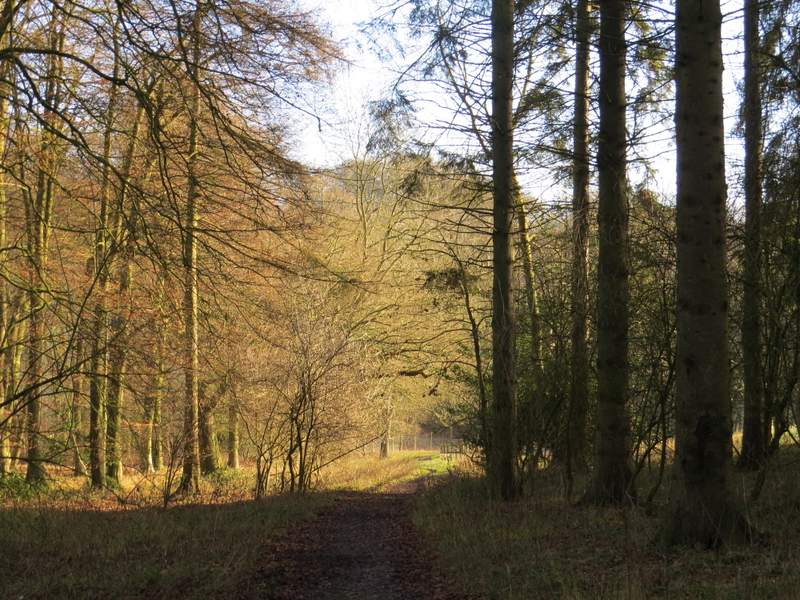
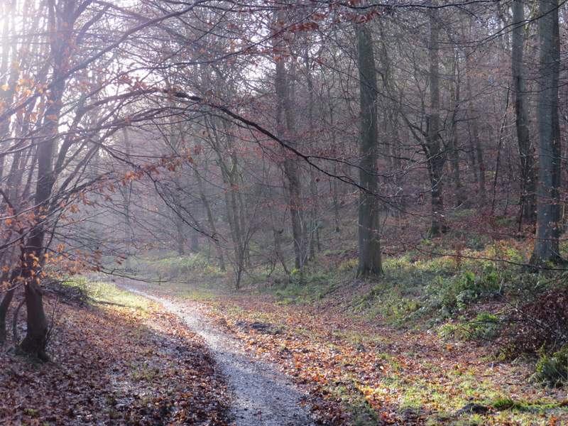
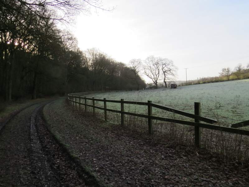
The bridleway as it finally leaves Fire Wood
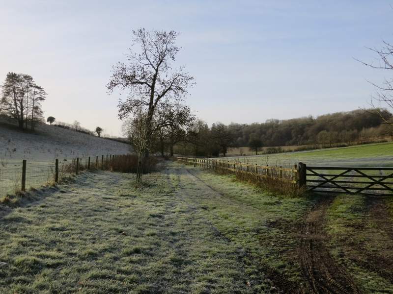
Eventually the bridleway reached the end of the wood and soon curved right to pass Turville Park Farm - it was a frosty morning (the forecast was for a maximum temperature of 5C), and this section was the frostiest part of the whole walk. Beyond the farm the bridleway continued along the valley bottom, initially along a broad track between fences, then alongside a hedgerow on my left. The bridleway then switched to the other side of the hedgerow, and shortly after this I turned left onto a footpath going quite steeply uphill through an arable field. At the top of the hill there were some nice views, including one on my right towards Stonor.
The bridleway continuing towards Turville Park Farm - note how frosty the pasture on the right is
The bridleway immediately after Turville Park Farm, the frostiest section of the whole walk
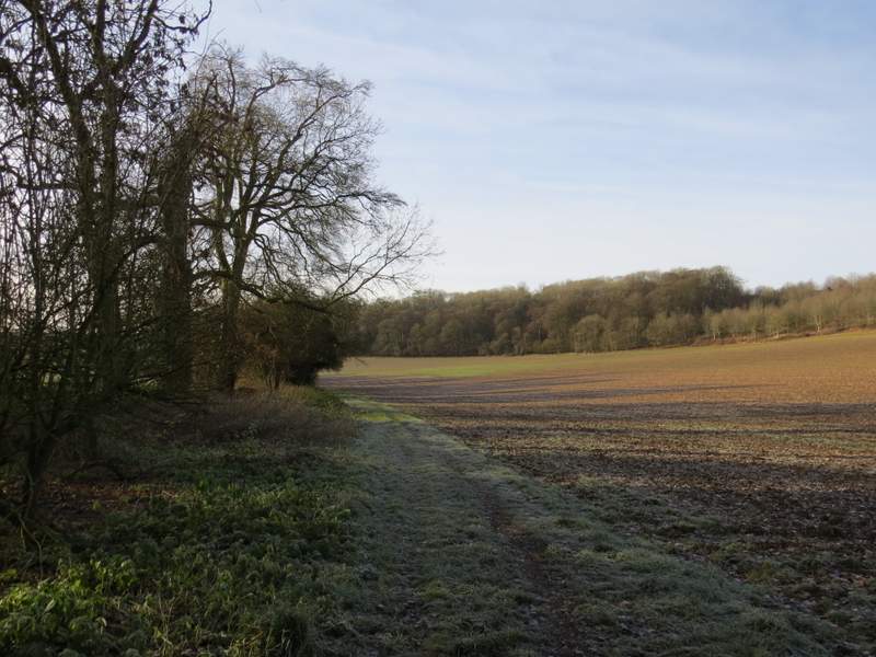
The bridleway continuing from Turville Park Farm
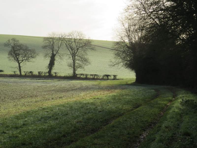
The bridleway continuing from Turville Park Farm - you can see the path where I turned left going uphill through the next field
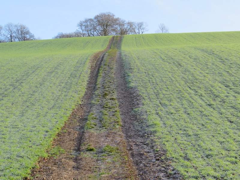
The path after I turned left
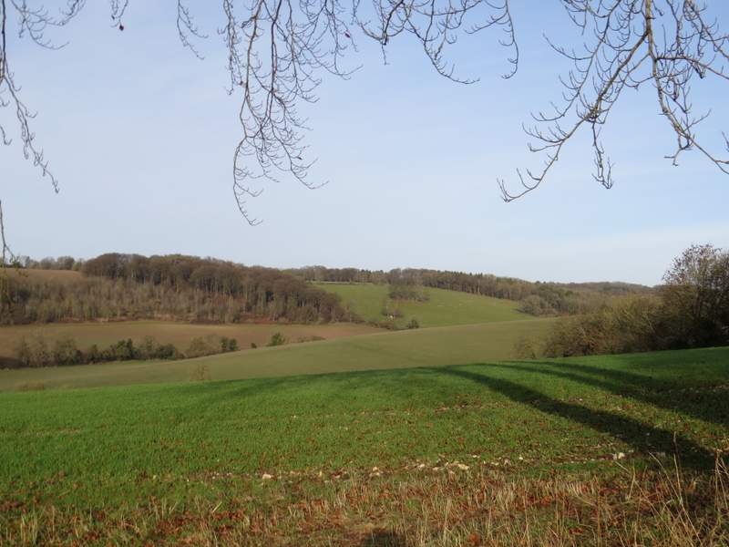
Looking from the top of the hill - the far valley is the one the bridleway had followed
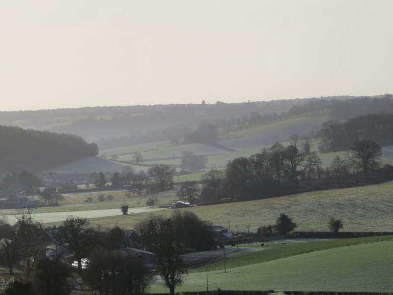
A zoomed in shot over a frosty Stonor