Pete's Walks- West Wycombe, Fingest and Horsleys Green (page 3 of 7)
If you are considering walking this route yourself, please see my disclaimer. You may also like to see these notes about the maps and GPX files.
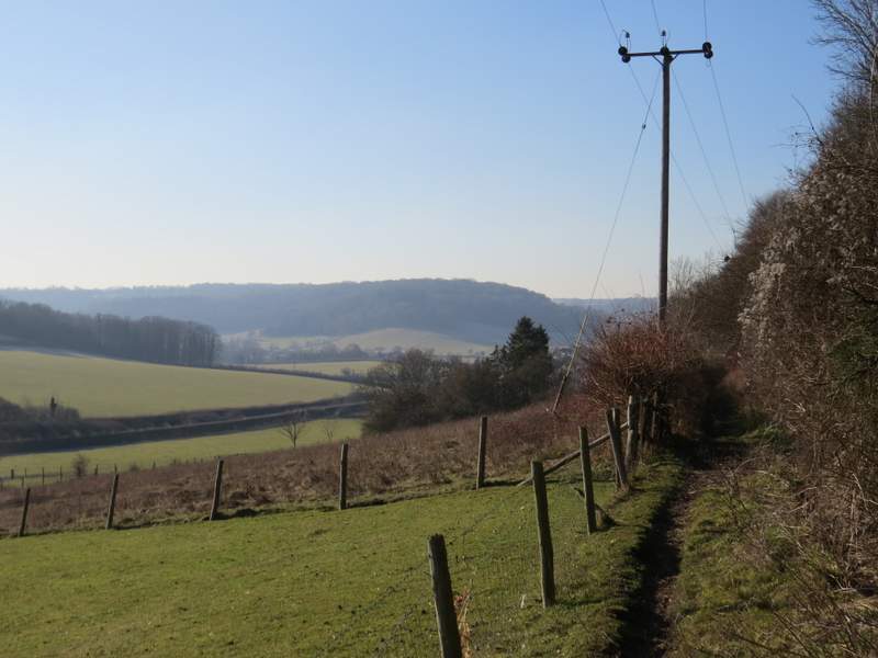
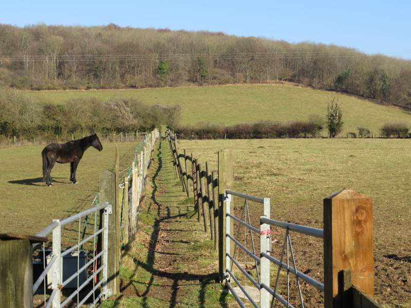
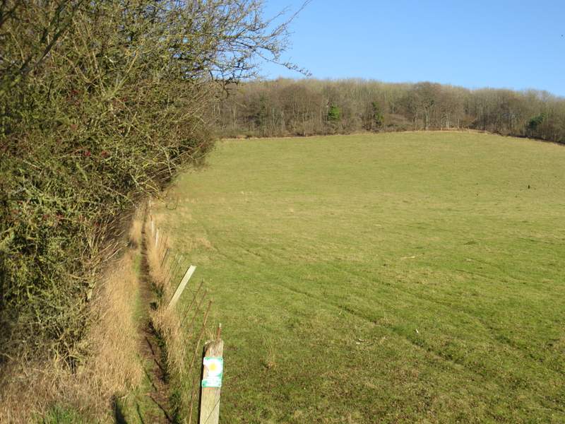
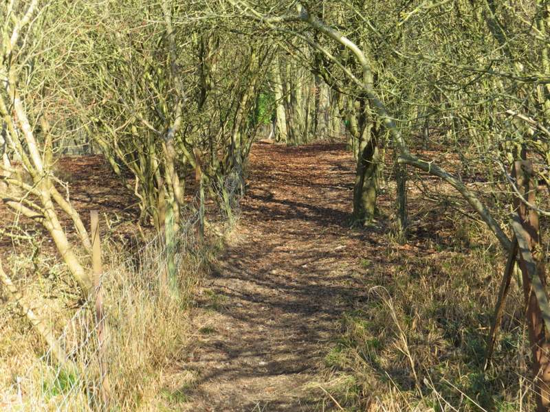
I kept straight on beside the wood on my right when another path went left, between two arable fields. On eventually reaching the next field corner, the path continued through the wood for a short distance. It then went round two sides of a sheep pasture, before going over a stile and continuing along a track that was a bit like a sunken lane or hollow way. This passed one field on my right, which was on top of Hannover Hill, then I went over another stile and continued downhill alongside the left edge of a large pasture.
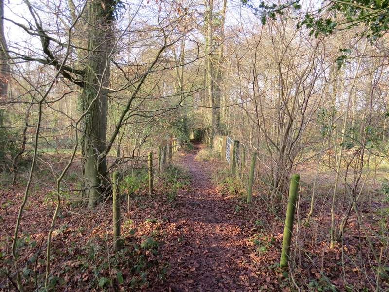
The path continuing through Long Copse
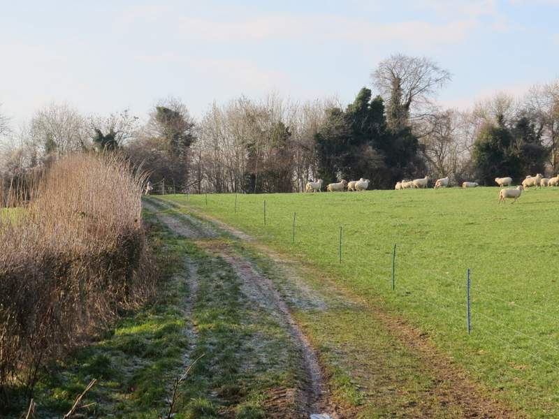
The path continuing round two sides of a sheep pasture
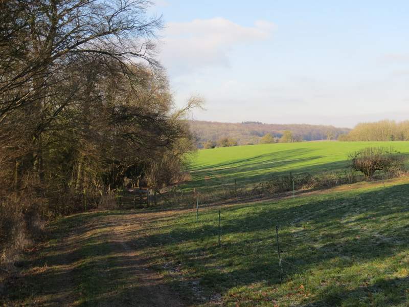
Approaching Hannover Hil
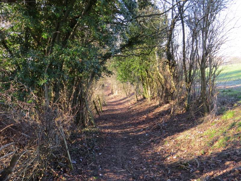
The path continuing down Hannover Hill
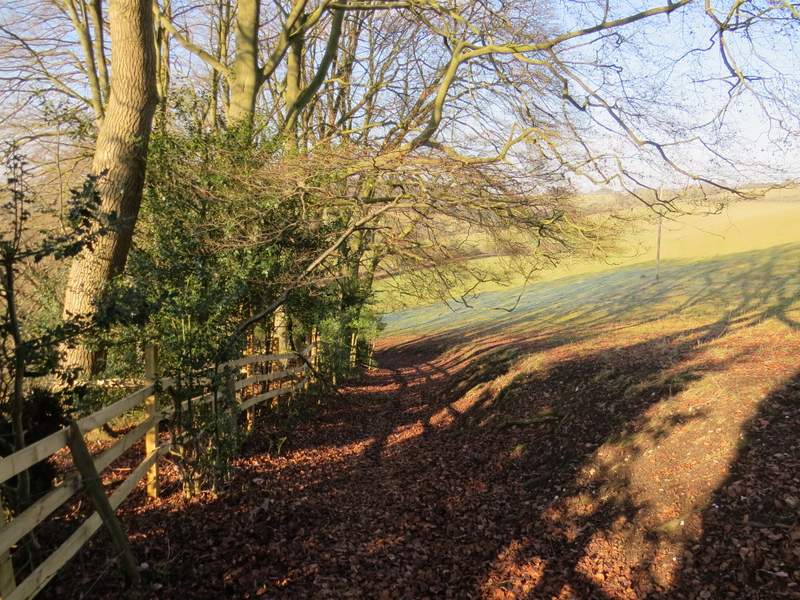
The path continuing down Hannover Hill
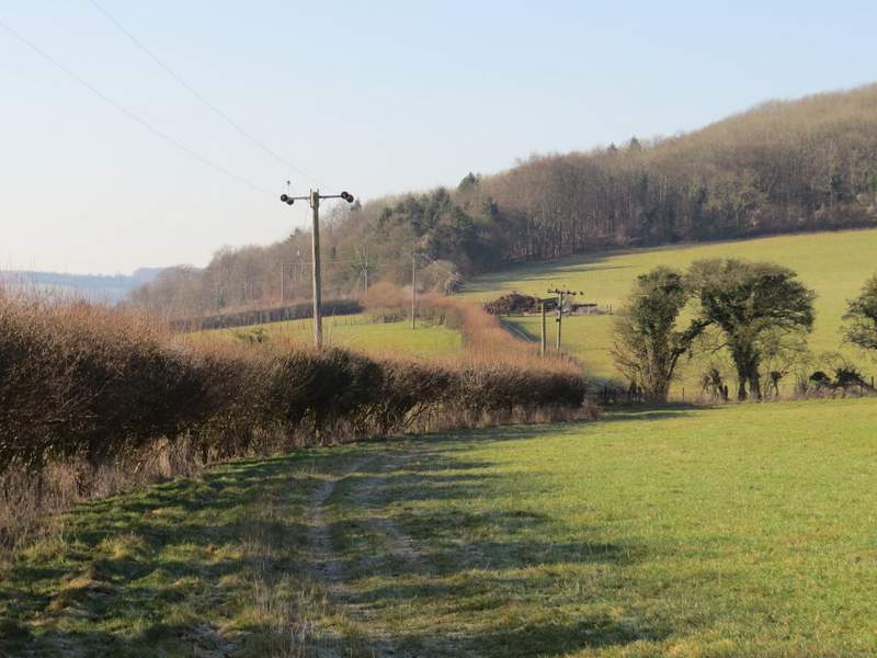
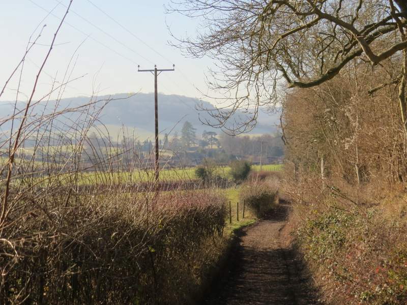
At the bottom of the hill I crossed a lane, went a few yards through grass and bushes, then turned right along a permissive path running parallel to the lane. At its end (where the lane turned right) a footpath went left, following a hedgerow in a large field. The hedge soon turned left, and so did the path, both now heading towards Hanger Wood. On reaching the wood, the path continued straight on, soon merging with a bridleway. A short distance past the wood the bridleway turned left, and soon brought me to Fingest lane, where I turned right along a very broad verge.
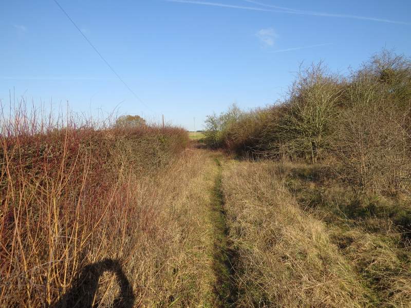
The permissive path to the left of the lane
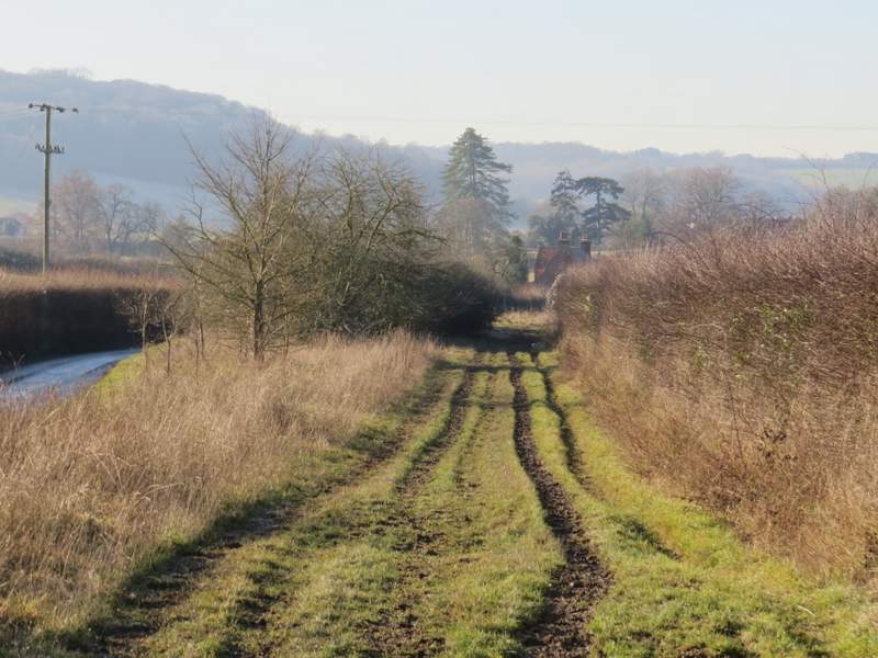
The path to Fingest, approaching Hanger Wood
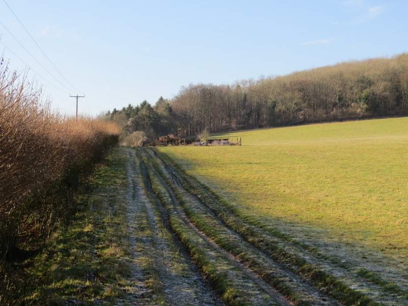
The path to Fingest, approaching Hanger Wood
The bridleway to Fingest, beside Hanger Wood
The bridleway to Fingest, beside Hanger Wood
Approaching Fingest
I soon reached the attractive village of Fingest, where I turned right opposite the Chequers pub. I now had Fingest church on my left, with its magnificent Norman tower. I then turned right onto a footpath, starting between garden fences. I soon came to a fork in the path where I kept left, this path running between paddock fences at first, then climbing quite steeply uphill between a tall hedge and a fence on my right. The path continued uphill, though less steeply, when it reached Hanger Wood - it's a few years since I've been this way and I'd forgotten quite how long (by Chiltern standards) this bit of uphill was.
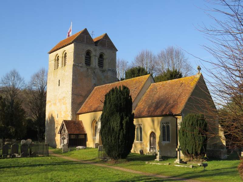
Fingest church
The path from Fingest to Hanger Wood
The path from Fingest to Hanger Wood
The path continuing through Hanger Wood