Pete's Walks- Variation on 'Four Hills' walk from Whiteleaf Hill (page 1 of 5)
If you are considering walking this route yourself, please see my disclaimer. You may also like to see these notes about the maps and GPX files.
Google map of the walkDownload GPX file of the walk
I did this circular walk of about 11.9 miles on Saturday, March 4th, 2017. It was a repeat of a walk I did in April 2010, but starting from Whiteleaf Hill rather than Coombe Hill (I did this partly because the car park at Coombe Hill is sometimes full and partly to avoid having a very steep climb right at the end of the walk). The route is a variation on my Four hills walk, including Bacombe Hill but omitting Parslow's Hillock and Hampden Common.
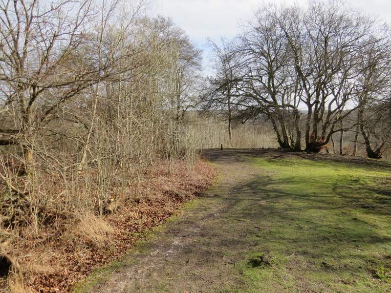
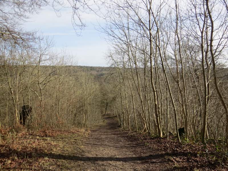
I parked in the car park on Whiteleaf Hill (grid reference SP823036), and started walking about 10.05am. I followed the short path at the other end of the car park from the entrance, and at its end I turned right onto a section of the Ridgeway national trail (marked by fingerposts and white acorn symbols). Almost immediately I passed the remains of World War I practice trenches on my right. A little further on I went through a gate to reach the open top of Whiteleaf Hill, where there is a Neolithic barrow (about 5,500 years old!). After taking some photos and admiring the views out over the Vale of Aylesbury, I continued along the Ridgeway, which now turned right and descended through woods towards the hamlet of Cadsden. The steep section of the path was quite treacherous today, being either slippery mud or equally slippery wet chalk, so I went down it very gingerly. I followed the Ridgeway signs all the way down the hill until I reached The Plough at Cadsden, where I turned left to reach a minor road..
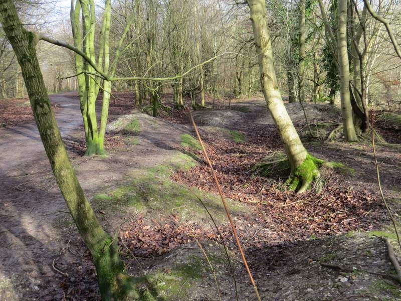
The remains of World War I practice trenches on Whiteleaf Hill
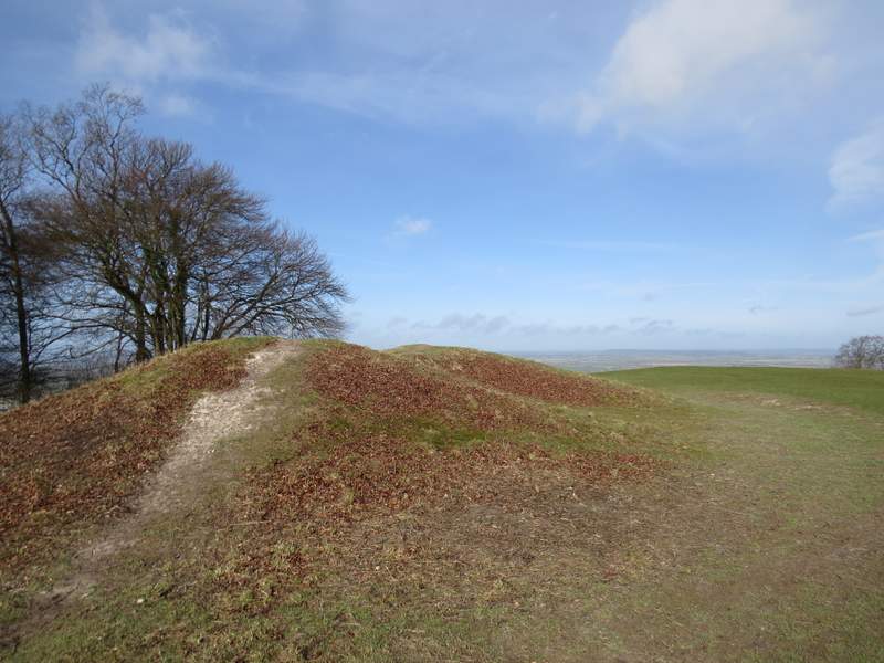
The Neolithic barrow on Whiteleaf Hill
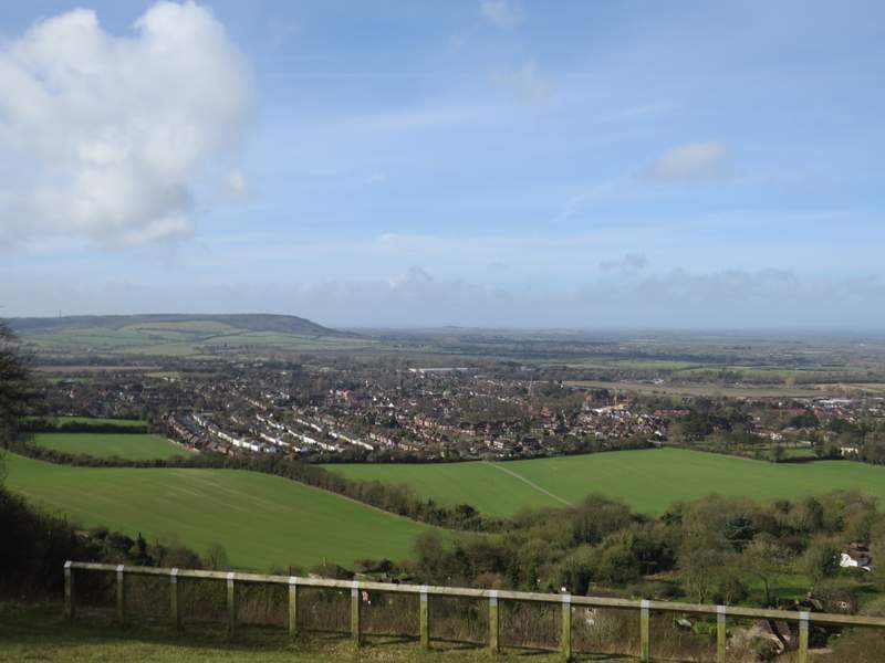
View across Princes Risborough towards Wain Hill from Whiteleaf Hill
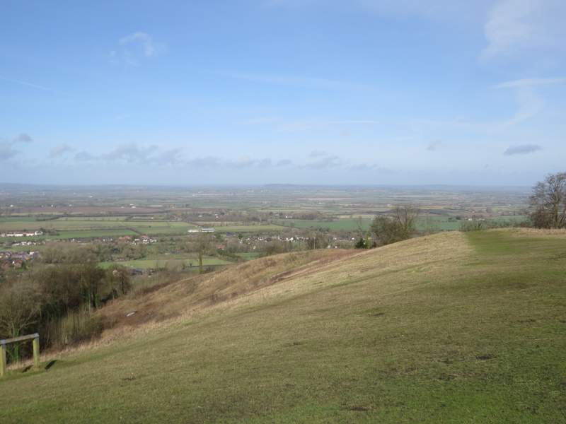
A view over the Vale of Aylesbury from Whiteleaf Hill
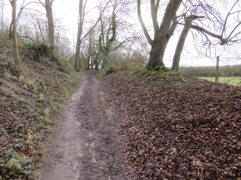
The Ridgeway national trail about to start descending from Whiteleaf Hill to Cadsden
The Ridgeway national trail descending from Whiteleaf Hill to Cadsden
The Ridgeway national trail descending from Whiteleaf Hill to Cadsden
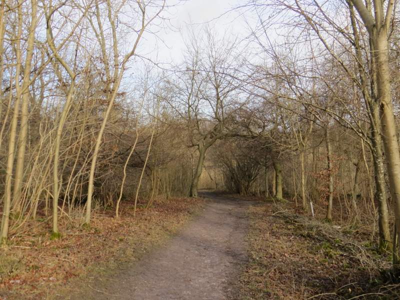
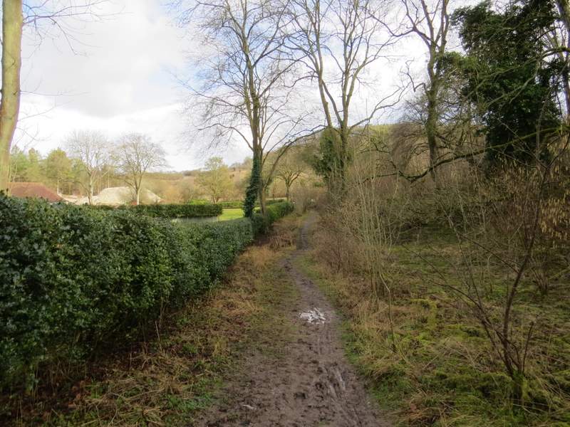
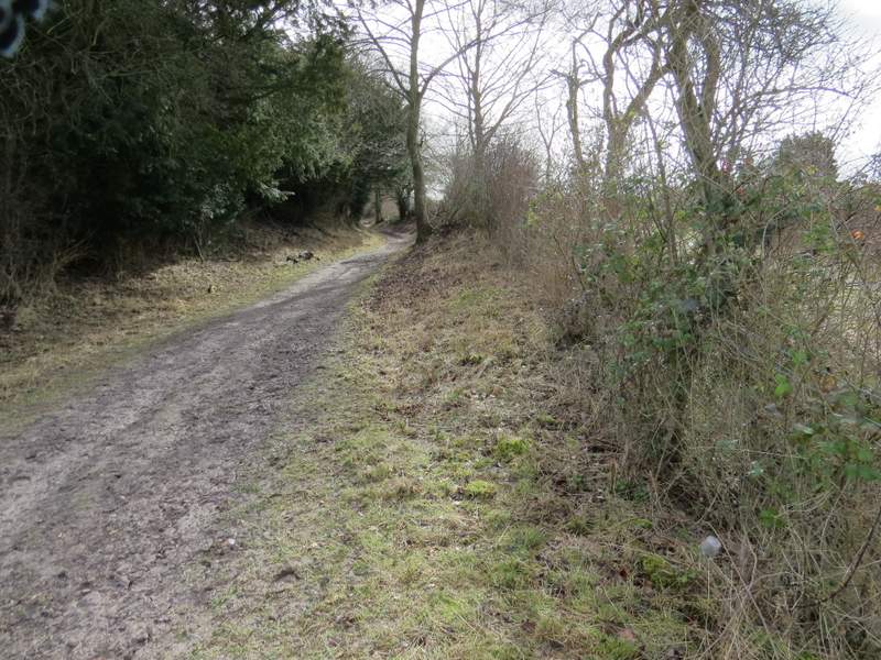
I went a little way left along the road and took the second path on the other side, still following the Ridgeway (I could just as easily have followed the first path). After going through a gate I turned left, and followed a clear path through the Grangelands and Rifle Range nature reserve (that's the name on the notice boards, it was called Grangelands and Pulpit Hill nature reserve according to the OS map). The path soon curved right and went very slightly uphill. On reaching a gate, I went through it and turned right (and thus left the Ridgeway) along a bridleway running along the southwest side of Pulpit Hill. I followed this bridleway for about half a mile until I reached a small car park.
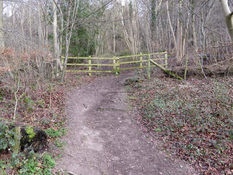
The short path from the road at Cadsden to the Grangelands and Rifle Range nature reserve
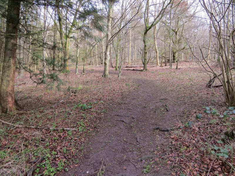
The Ridgeway national trail passing through the Grangelands and Rifle Range nature reserve
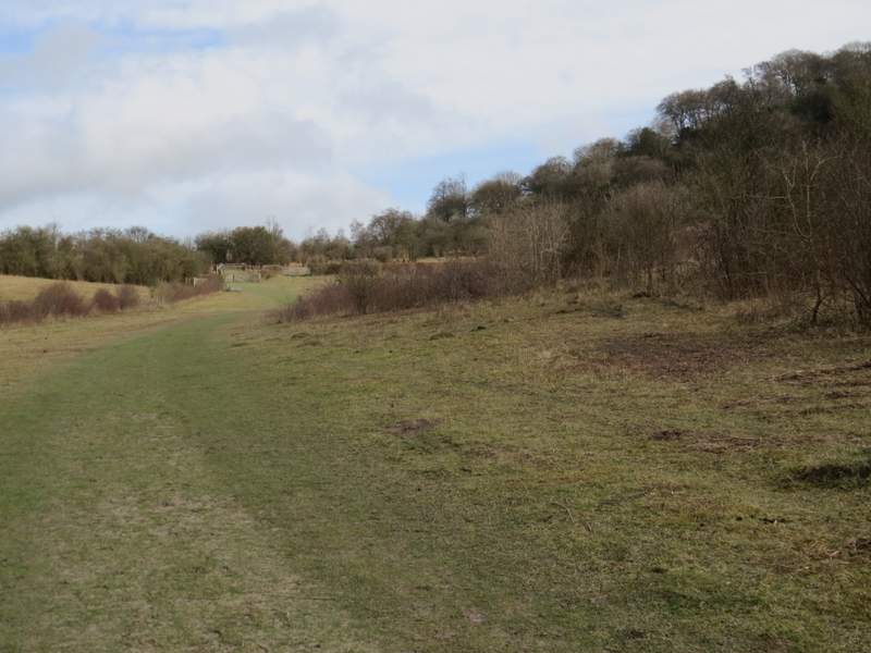
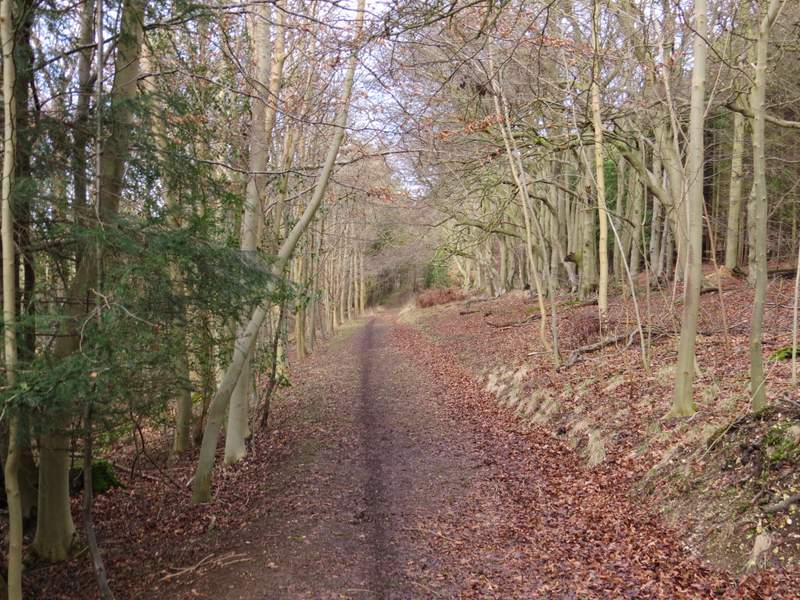
The bridleway to the southwest of Pulpit Hill
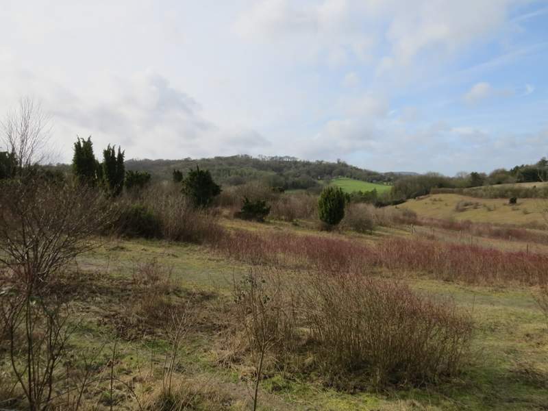
Looking back over the nature reserve towards Pulpit Hill
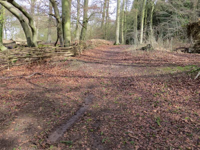
The bridleway to the southwest of Pulpit Hill
The bridleway to the southwest of Pulpit Hill
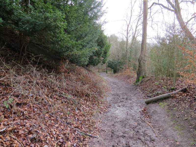
I turned left onto a public footpath as soon as I reached a car park, following a sign saying 'Pulpit Hill fort 0.3 miles' (it would seem a bit more than that to me). The path went quite steeply uphill through Pulpit Wood, but it wasn't too long until I came to a path crossroads where I turned left (this path isn't shown on the OS path), again following a sign for 'Pulpit Hill fort'. This path was almost perfectly level. After maybe a quarter of a mile another sign showed where I needed to turn right and go a little way uphill to reach the entrance to the iron-age hill fort that surmounts Pulpit Hill.
The start of the path up Pulpit Hill from the car park
The path up Pulpit Hill from the car park
The path to the Pulpit Hill fort after I turned left
The path to the Pulpit Hill fort after I turned right (there are signs that point the way)