Pete's Walks- West Wycombe, Bledlow Ridge and Lacey Green (page 2 of 6)
If you are considering walking this route yourself, please see my disclaimer. You may also like to see these notes about the maps and GPX files.
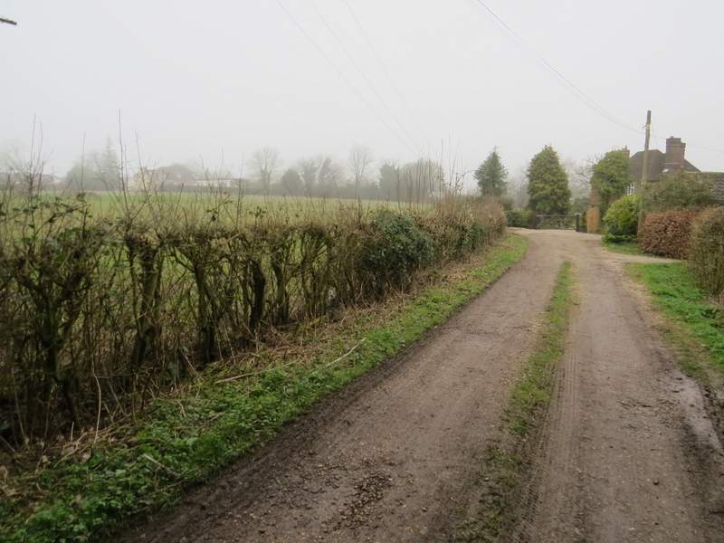
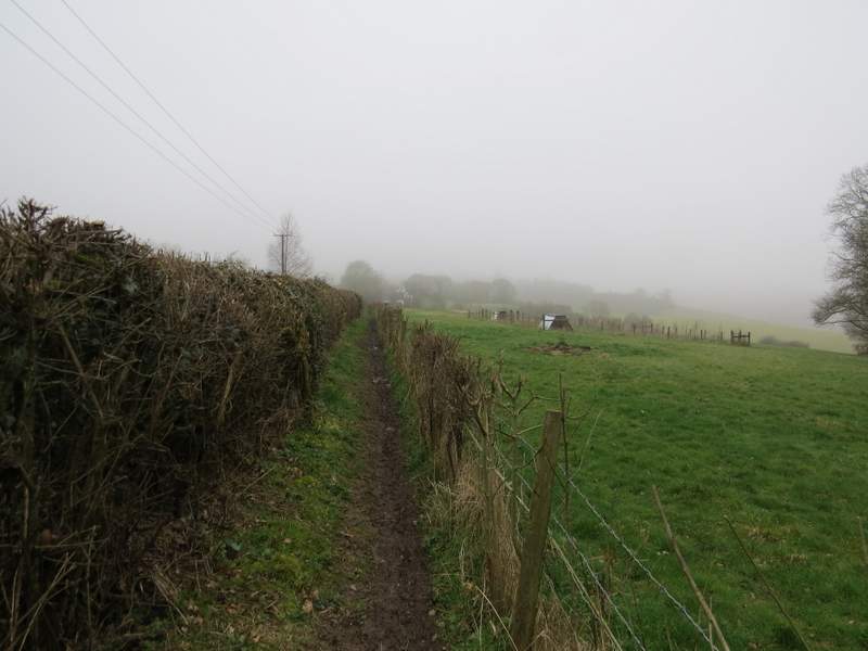
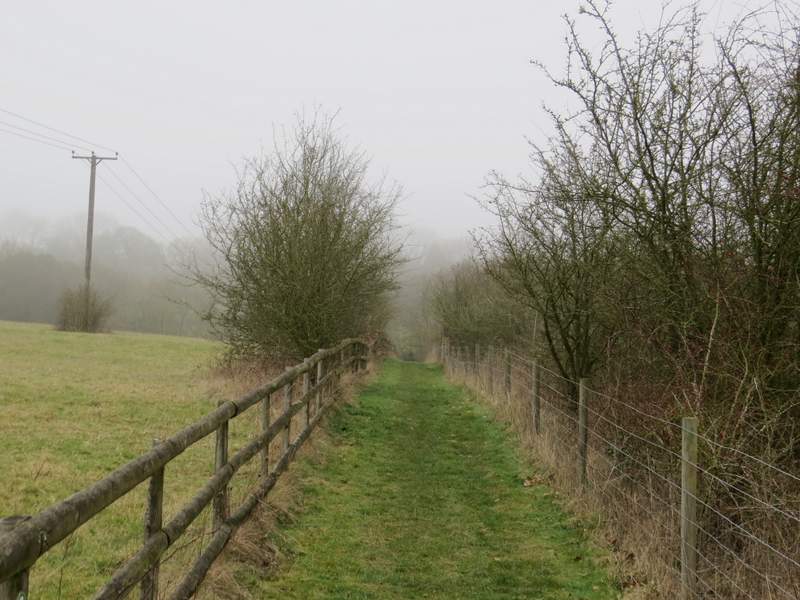
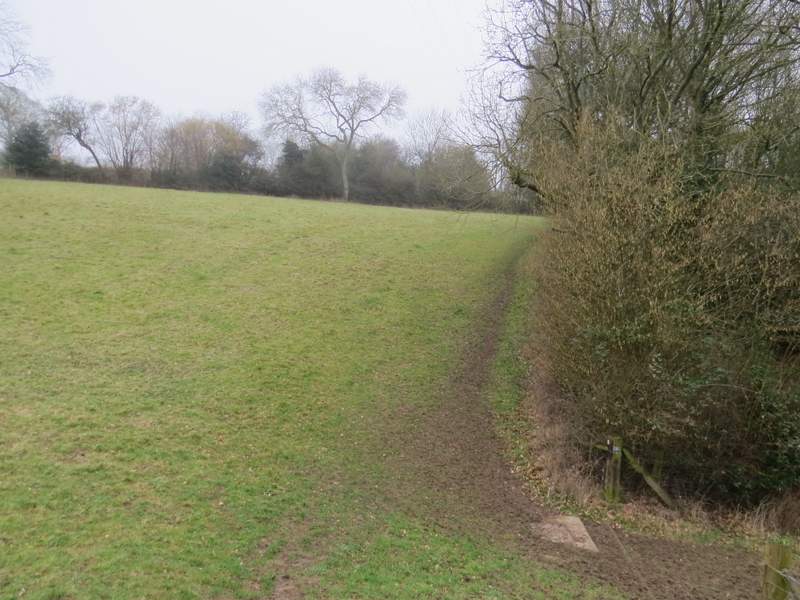
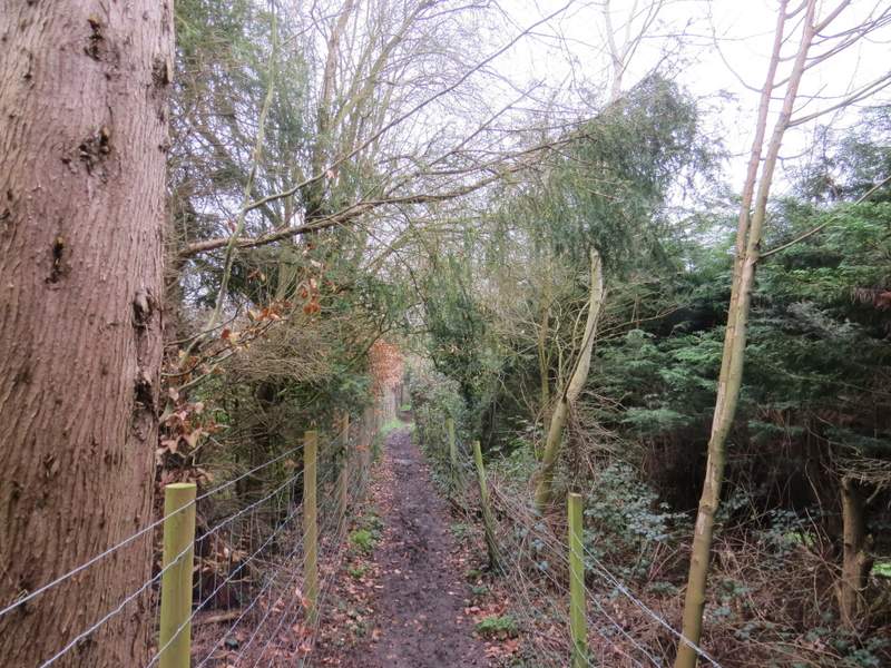
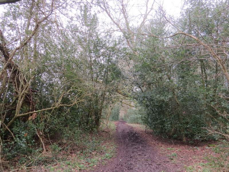
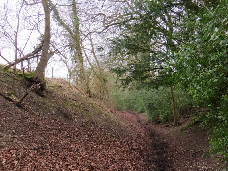
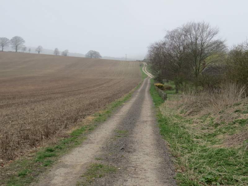
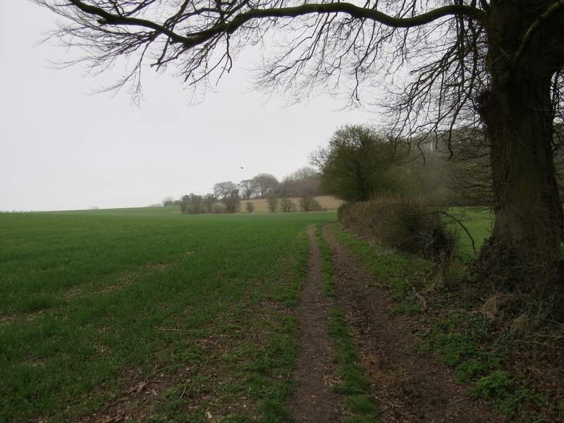
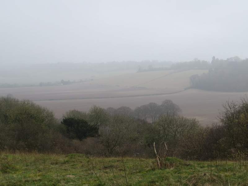
I turned right along the road, but only for about a hundred yards before turning right onto a path along a gravel track (I was now on the route of the Chiltern Way, which I'd be following for the next mile or so). At the end of the track the footpath continued between fences or hedges for a few hundred yards - after a while there is normally a fine view over the Saunderton Valley on the right, but it was badly restricted today by the misty conditions. After crossing a track, the path continued between fences for a short distance, then went down and up a small dip in an empty pasture, before continuing once more between fences a little further to reach the hamlet of Rout's Green.
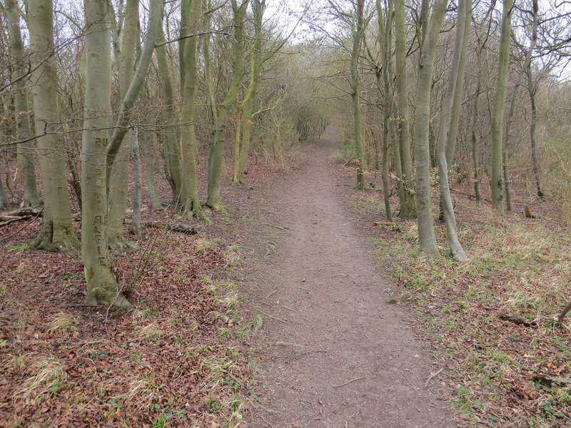
Near the start of the path from Bledlow Ridge to Rout's Green
The path from Bledlow Ridge to Rout's Green
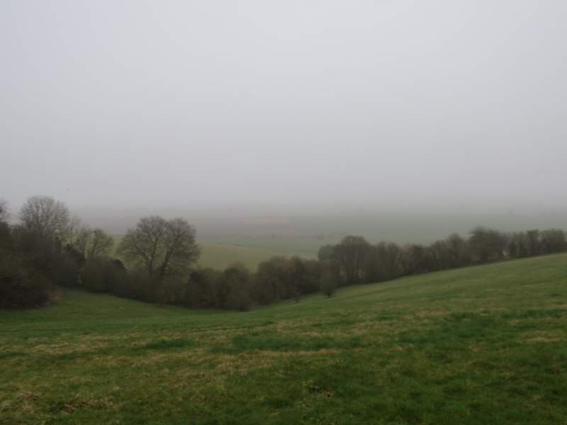
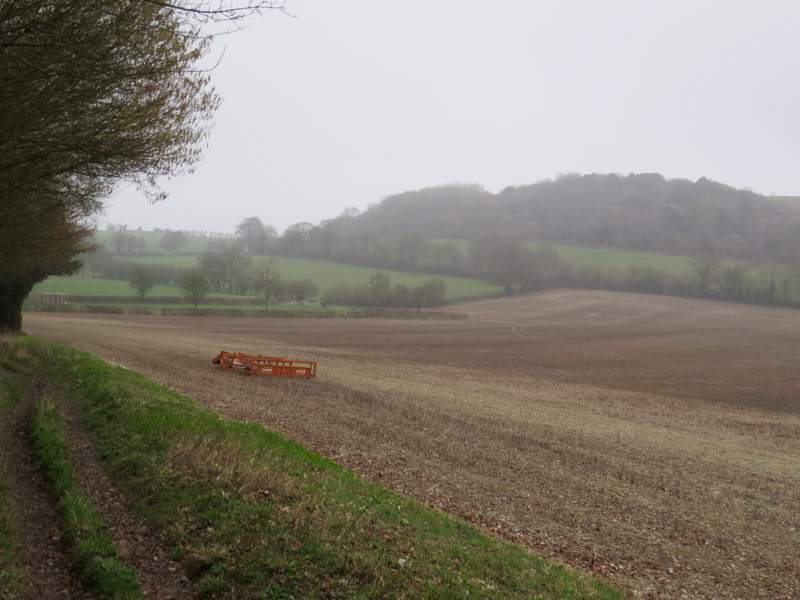
A misty view from the edge of Bledlow Ridge over the Saunderton Valley
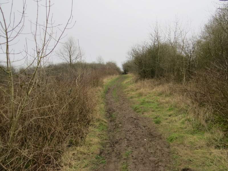
The path from Bledlow Ridge to Rout's Green, just after crossing a track
The path from Bledlow Ridge to Rout's Green
The path from Bledlow Ridge to Rout's Green
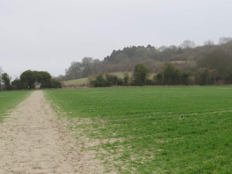
I turned left along a street and then went right at a T-junction. At the end of this street a bridleway continued ahead, soon running just inside Neighbour's Wood and dropping slowly downhill. Beyond the wood the bridleway levelled off as it followed the edge of a large ploughed field on my right, with a view ahead of Lodge Hill. The bridleway then joined a farm track that passed Callow Down Farm on my right. It then turned right along the drive to the farm for a few yards, before turning left along another track. This soon passed Old Callow Down Farm, again on my right. The Chiltern Way soon turned left along the farm drive, but I went straight on, following a hedgerow on my right. Immediately after the next field corner I turned left at a bridleway T-junction.
The path from Rout's Green, in Neighbour's Wood
The path from Rout's Green, in Neighbour's Wood
Looking to Lodge Hill, from the path from Rout's Green
The path continuing from Callow Down Farm
The path, now on the other side of Old Callow Down Farm
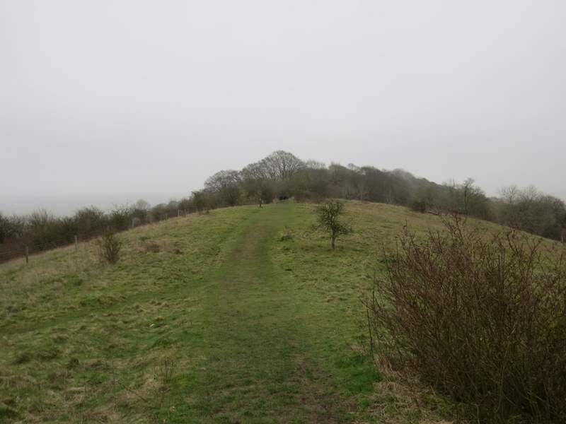
This bridleway led through the middle of an arable field. Shortly before reaching the far side I turned right onto a crossing footpath, joining the Ridgeway national trail. The path brought me to a metal kissing-gate, beyond which the path turned left and very quickly brought me to the western end of Lodge Hill. It was a longer and steeper climb up the wooded slope here than I remembered (it usually is!) but it wasn't long before I was at the top and I was strolling along the top of Lodge Hill. This is one of my favourite spots in the Chilterns (probably the only hill in the Chilterns that stands on its own, with drops on all sides) but once again today the views were severely restricted by the mist.
The path to Lodge Hill, after I turned right in the middle of a field
The path up Lodge Hill
A misty view south from Lodge Hill
The path continuing along the top of Lodge Hill
The path continuing along the top of Lodge Hill