Pete's Walks- Cowleaze Wood and Radnage (page 3 of 6)
If you are considering walking this route yourself, please see my disclaimer. You may also like to see these notes about the maps and GPX files.
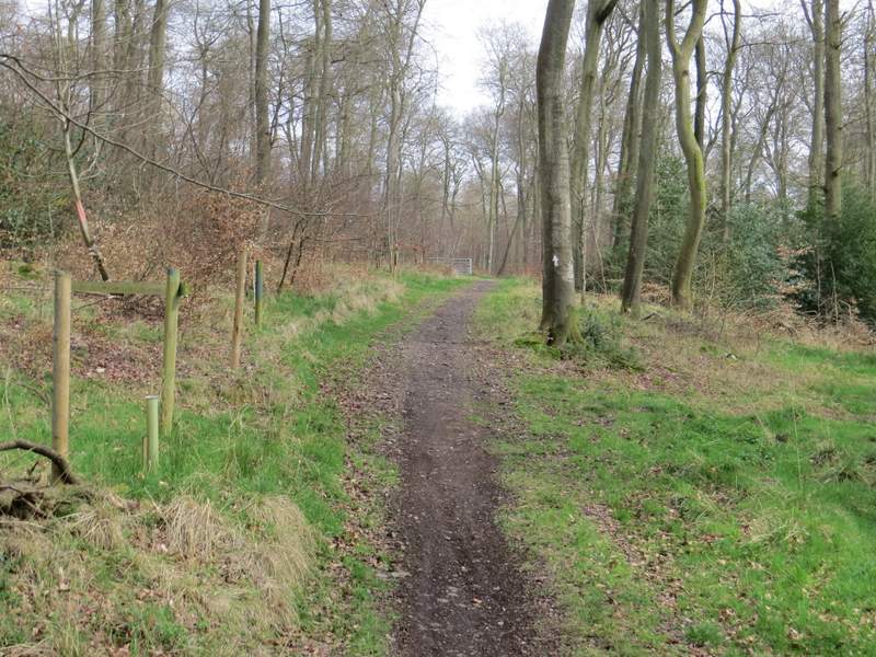
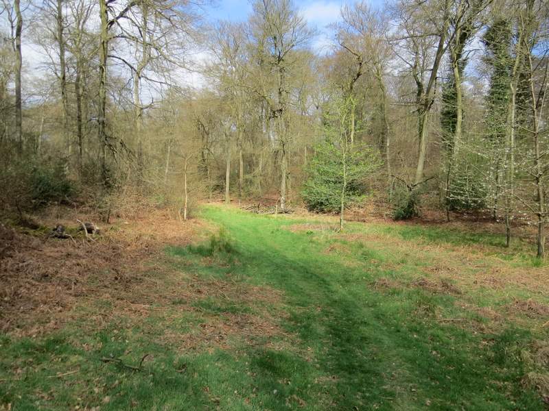
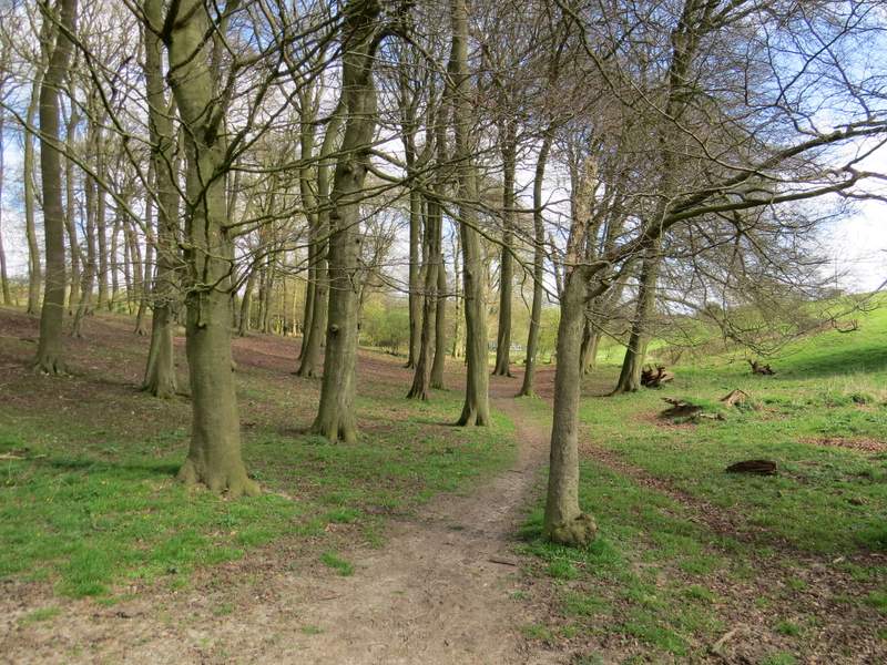
The path ended by going up some steps to reach a minor road, just south of Stokenchurch. I turned left along it and immediately crossed a bridge over the M40. I then turned right along a surfaced track or drive, but soon left it where a fingerpost indicated a footpath forked left. I now had a very pleasant section of about a mile through East Wood, the way being indicated by white arrows on trees. After a quarter of a mile the narrow path went left were it joined a wider track (I looked back here and was pleased to see the white arrow here now correctly indicates that coming the other way you fork right here - the old arrow, still partly visible, pointed straight on, and as it was on a tree in the middle of the fork you had no idea which way to take!). The track went up and down a small dip, and further on became quite grassy as it passed through an area of mainly beech trees.
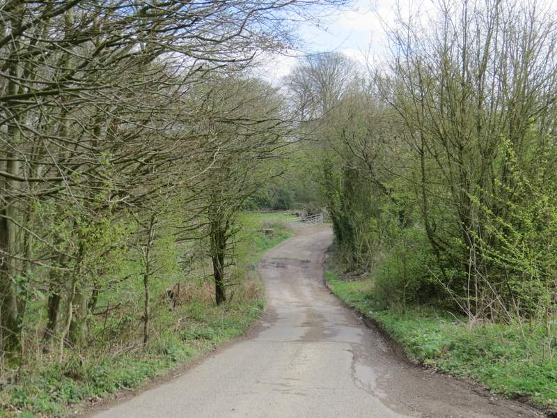
The start of the path through East Wood
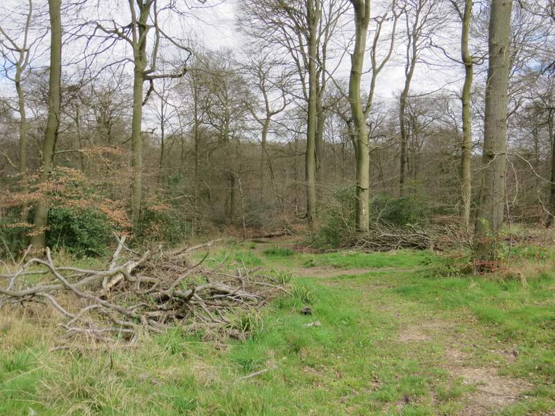
The path through East Wood
The path through East Wood
The path through East Wood
The path through East Wood
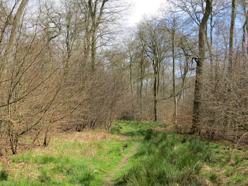
The path through East Wood
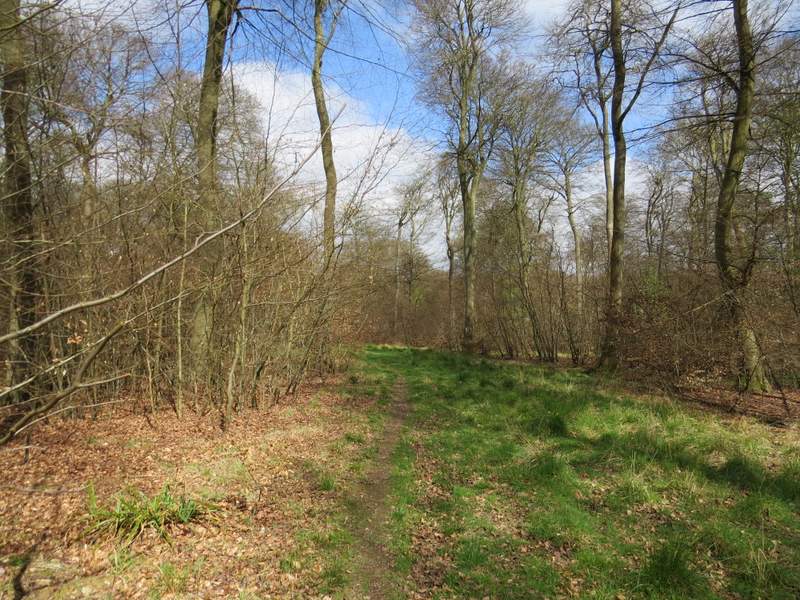
The path through East Wood
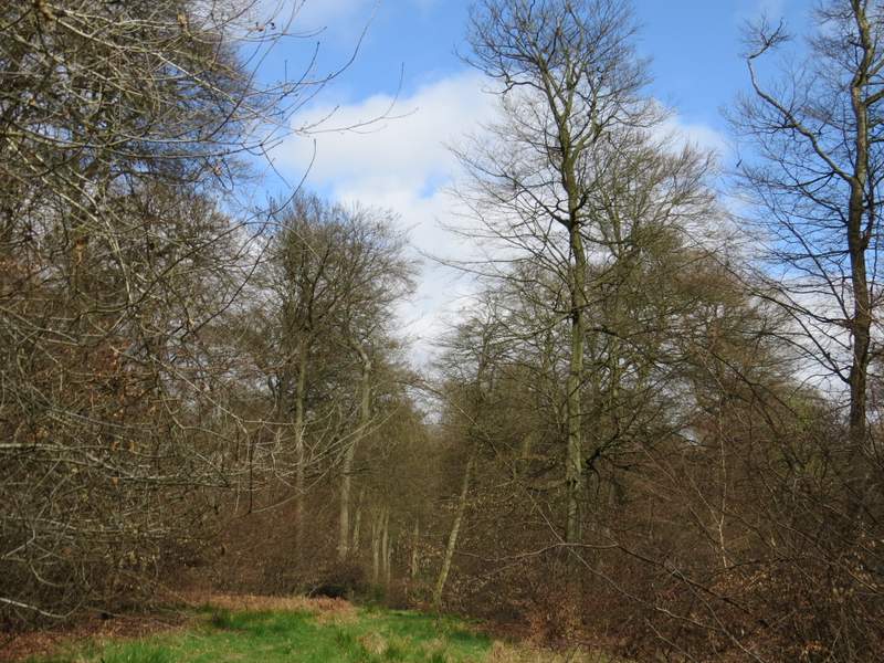
The path through East Wood
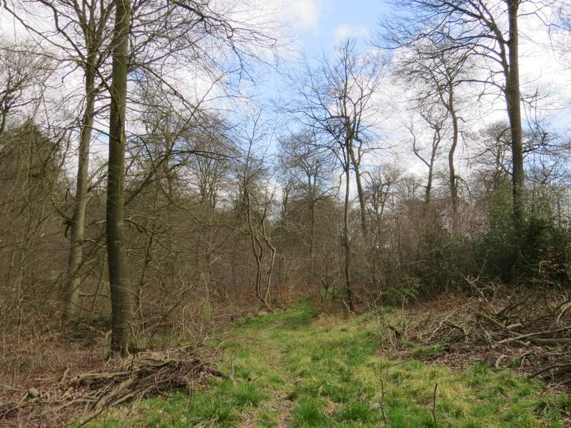
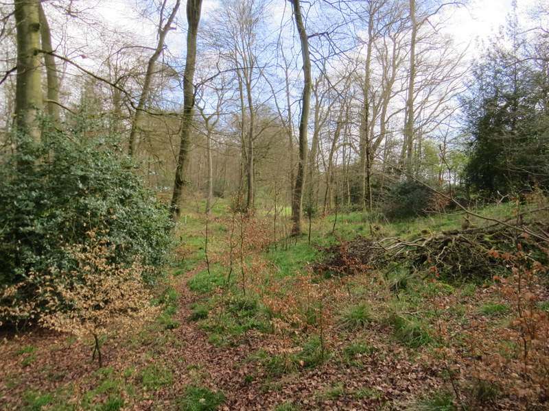
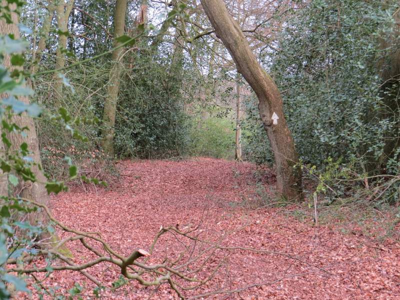
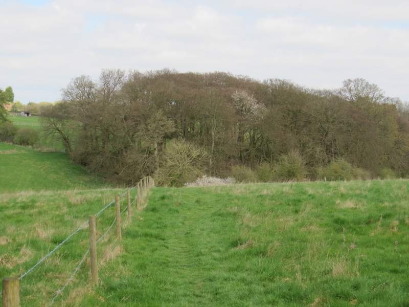
The path then dropped slightly into a small valley, where I followed a grassy track left for a few yards before a waymark post indicated where the path went sharply right. The path followed the valley for maybe a 100 yards before turning left and slightly uphill. After a while I came to a path junction where I turned left. There was soon a section where the wood was full of holly.
The path through East Wood - this is the bottom of the small valley, the path turns right at a waymark post in the centre of the photo
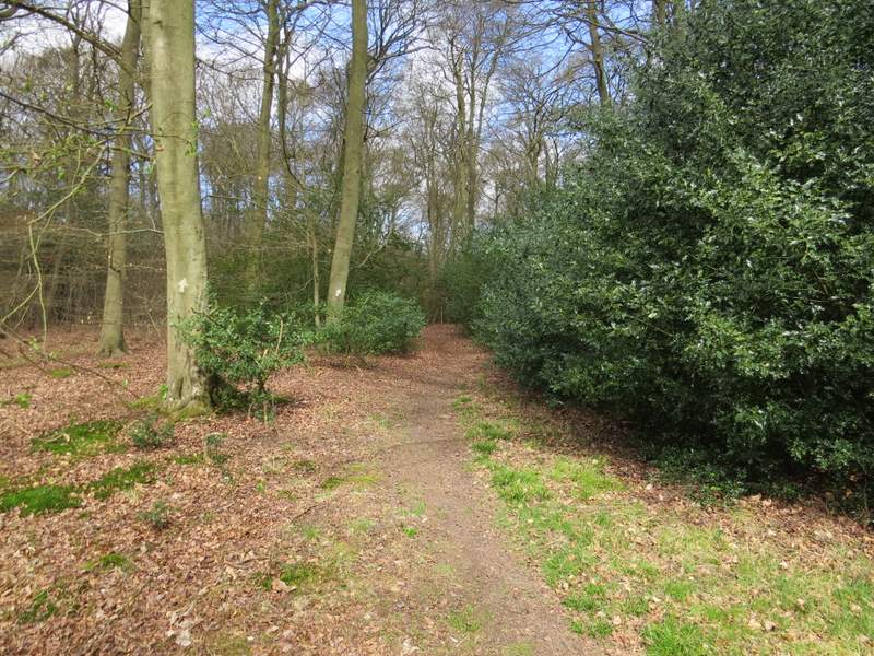
The path through East Wood (this is just after I turned left at the path junction)
The path through East Wood
On finally reaching the north-east corner of East Wood I crossed the A40, and followed a path along the left edge of a grassy field and down into a small valley, where the path turned right through a small beech wood to reach a lane in Beacon's Bottom. Here I turned left and followed the lane for almost half a mile to where it met a minor road at Waterend.
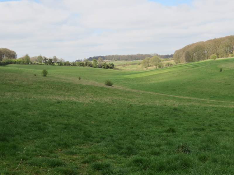
View left from the path to Beacon's Bottom
The path to Beacon's Bottom
The path to Beacon's Bottom
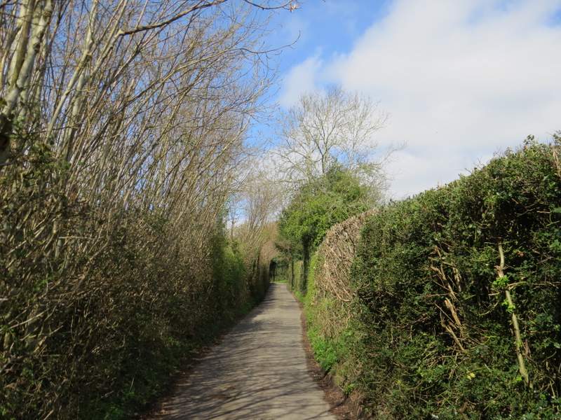
The lane through Beacon's Bottom
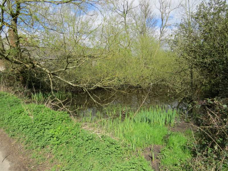
Pond in Beacon's Bottom