Pete's Walks- Gaddesden Row and Potten End (page 1 of 6)
If you are considering walking this route yourself, please see my disclaimer. You may also like to see these notes about the maps and GPX files.
Google map of the walkDownload GPX file of the walk
I did this circular walk of about 12.6 miles on Sunday, April 23rd, 2017. It was an extended version of the Gaddesden Row and Briden's Camp walk I did in March 2016, missing out Briden's Camp and instead going through Piccotts End (where I'd never walked before) and then on to the edge of Potten End. Most of the way back to Gaddesden Row I then followed paths I'd not walked since I did the Chiltern Way in 2007.
I parked on the eastern edge of Jockey End, by the entrance to a small playground (grid reference TL 042137), and started walking about 10:15am. I set off through the playground and continued between fences, first having some garages and garden fences on my left and then having sheep pastures behind wire fences either side (the wire fences and the sheep were new since I walked here last year). At the end of the path I turned right, following a track called Dean Lane just inside the edge of Dean Wood. There were lots of Bluebells in the wood, and also some Ramsons or Wild Garlic beside the track - I was looking for it as I remembered that this was the first place I ever saw it, in 2009. At the end of the track, I crossed a minor road and followed a byway through Babies Wood, where there were more Ramsons.
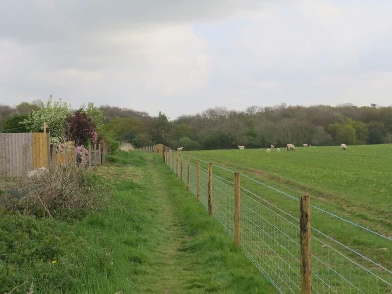
The path from the children's playground at Jockey End
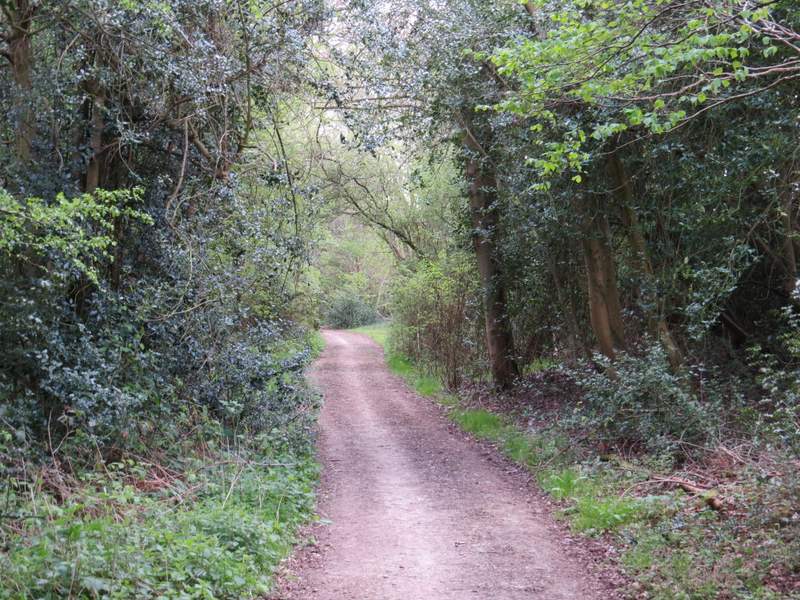
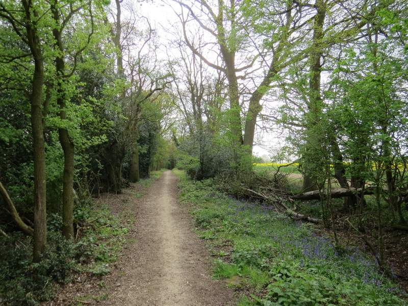
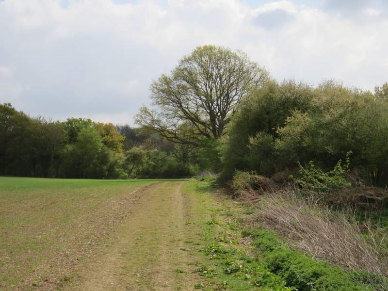
Dean Lane
Dean Lane
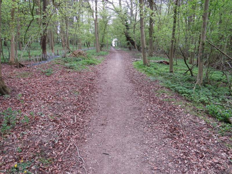
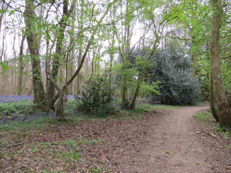
Babies Wood
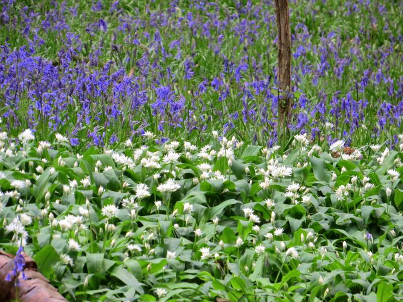
Wild Garlic (or Ramsons) and Bluebells, in Babies Wood
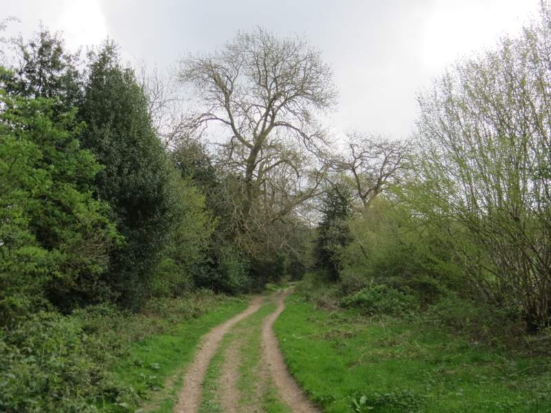
Beyond Babies Wood, the byway continued between hedgerows and then ran just inside the edge of Newland's Wood. Beyond this wood the byway continued through a tree belt and then by a field on my left. I ignored the first path I came to going off on my left, but then when I came to another path junction a little further on (where the byway turned right to reach Gaddesden Row school) I did turn left - I chose to follow a permissive bridleway to the left of a hedgerow here, the OS map shows the public footpath on the right of the hedge through what was marked as a conservation area.
The byway continuing from Babies Wood
The byway continuing through Newland's Wood
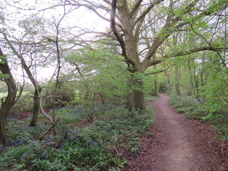
The byway continuing from Newland's Wood
The permissive bridleway after I turned left from the byway
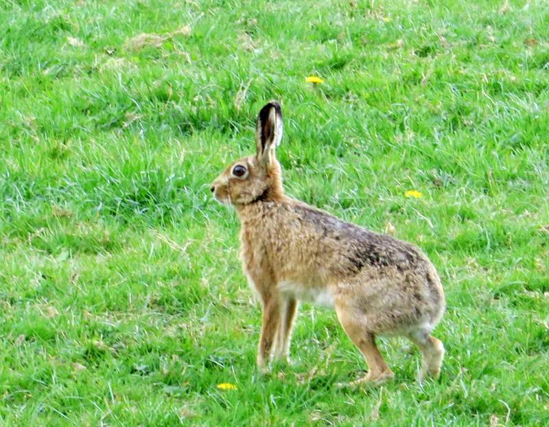
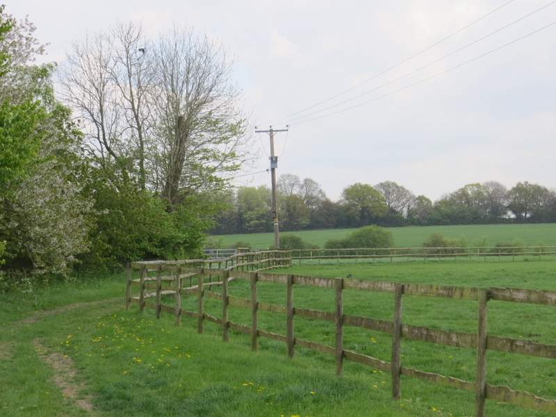
On reaching another minor road, I went a short way right, then took a bridleway on the other side. Here I had Teakettle Wood on my right with paddocks on my left. I spotted three Hares coming towards me along the track, and managed to get a photo of one of the two of them that actually came quite close to me before veering off into the paddock on my left. On reaching a path junction immediately after Upper Wood Farm, I turned left (north east) and followed a path past the farm (on my left) and then across another paddock (following a line of telephone poles on my right). The path then crossed an arable field to reach a bend in Puddephatt's Lane.
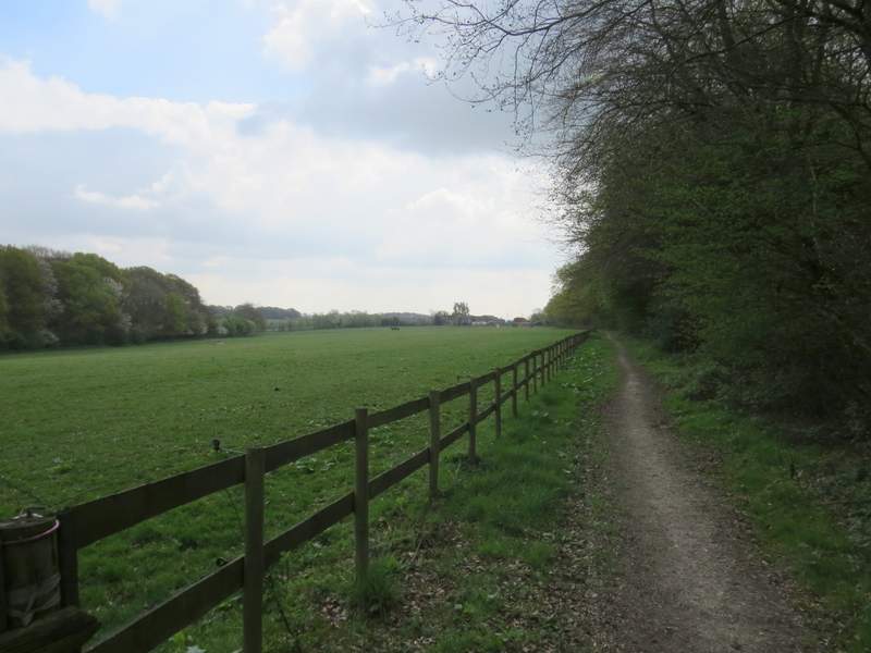
The bridleway to Upper Wood Farm, passing Teakettle Wood
The path going northeast from Upper Wood Farm
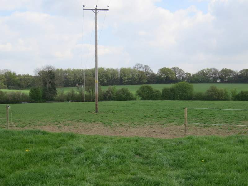
The path going northeast from Upper Wood Farm (it keeps just left of the line of telephone poles)
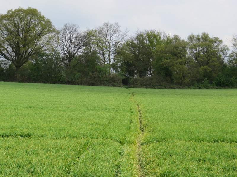
The path going northeast from Upper Wood Farm, approaching Puddephat's Lane