Pete's Walks- Coombe Hill and the Hampdens (page 2 of 5)
If you are considering walking this route yourself, please see my disclaimer. You may also like to see these notes about the maps and GPX files.
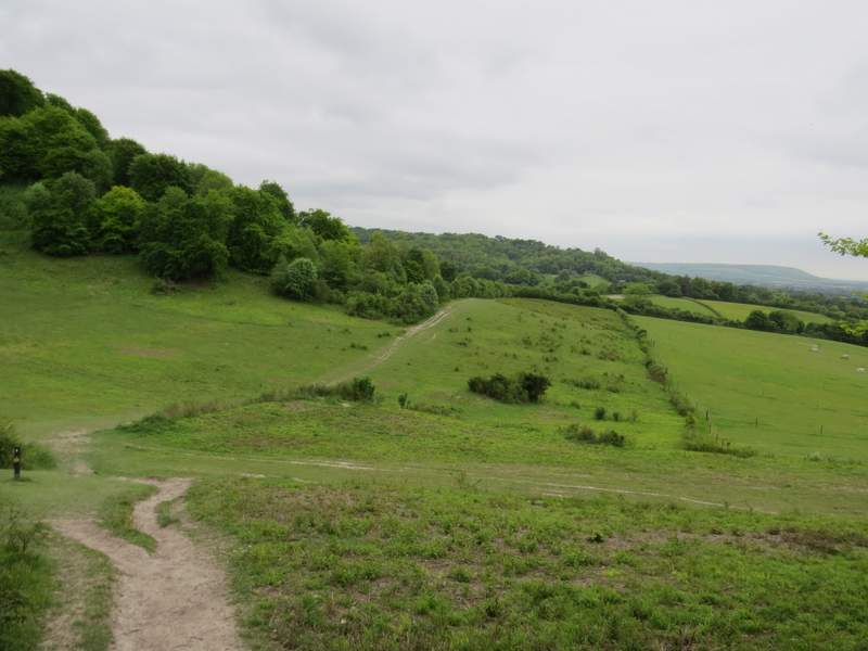
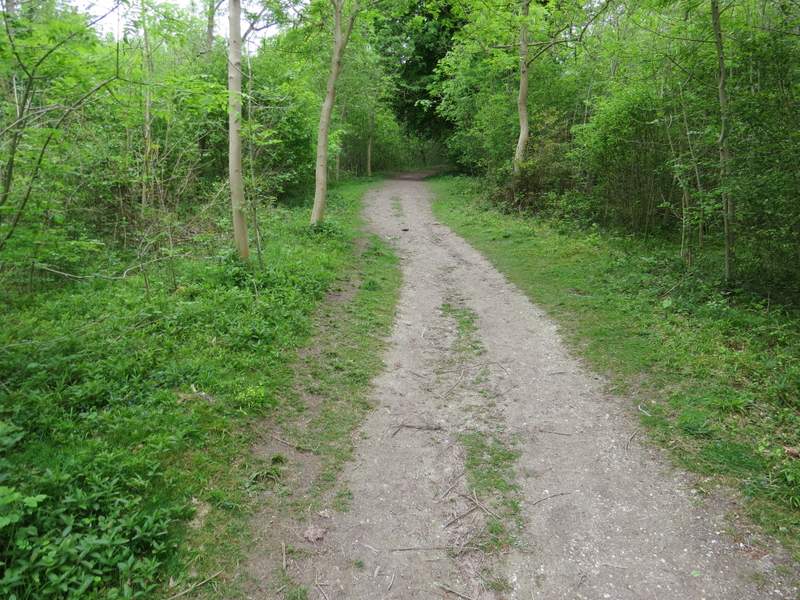
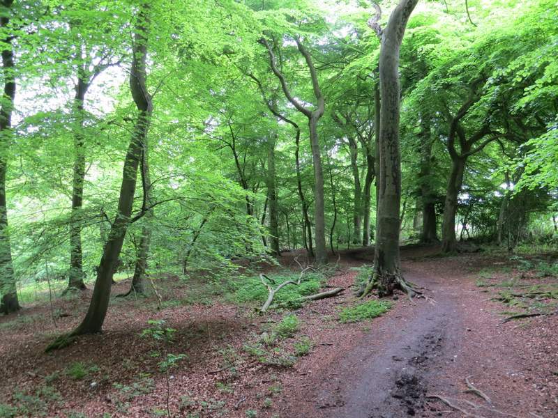
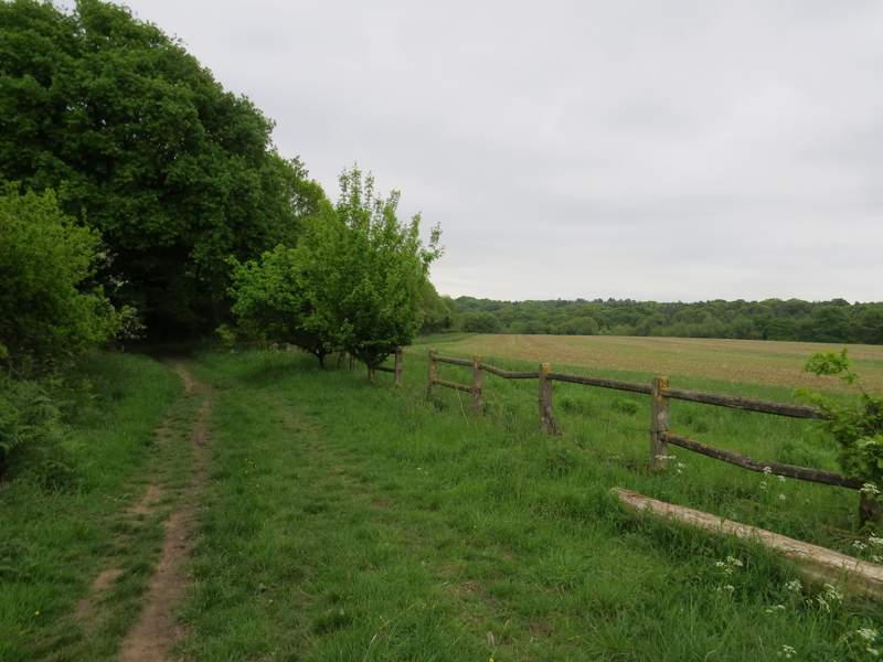
I turned round, and took a path back down the grassy slope slightly right of the one I'd come up on and soon rejoined the Ridgeway. This now went through a metal kissing-gate, went a few yards right down a sunken bridleway, then followed a path on the other side. There was now a very pleasant stretch along the foot of Pulpit Hill, whose wooded slopes stretched uphill on my left. The Ridgeway then crossed a bridleway and entered the Pulpit Hill and Rifle Range nature reserve, where it followed a broad band of grass gently downhill. I was still following the white acorn signs, which brought me to a gate where the Ridgeway turned right, close to a garden on the right, and soon reached a minor road at Cadsden. Here I turned left, but soon forked right along a short street that brought me to The Plough public house.
The Ridgeway running along the foot of Pulpit Hill
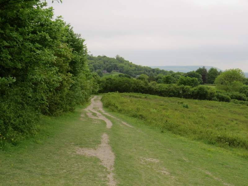
The Ridgeway running along the foot of Pulpit Hill
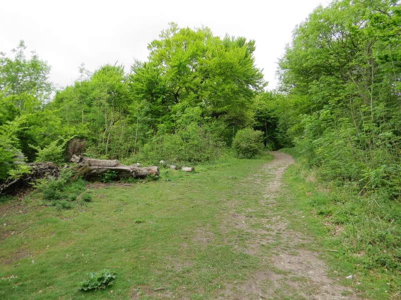
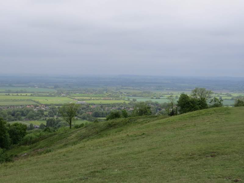
The Ridgeway where it crosses a track and enters the Pulpit Hill and Rifle Range nature reserve (actually I'd already passed the Rifle Range section of the reserve, which is separate from the main part of the reserve). Whiteleaf Hill is in the background.
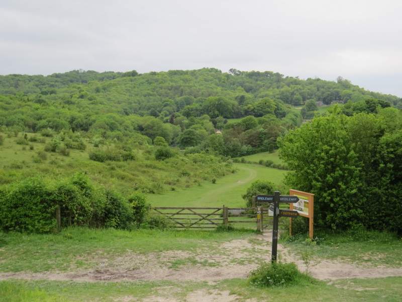
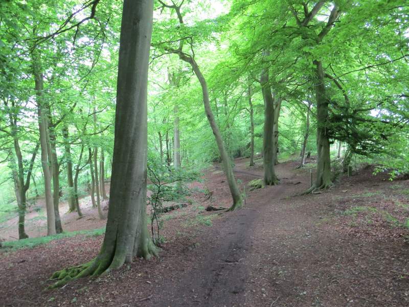
Immediately past the pub, the Ridgeway turned right. It very soon forked left at a path junction, and started the long climb up Whiteleaf Hill. It went right at another fork almost straightaway (I think both paths come together again anyway) and then went right, uphill, at another path junction. This was then a steady plod uphill through woods, but it didn't seem quite as long or steep as I used to think it was. At the top of Whiteleaf Hill it emerged onto a grassy area with more views over the Vale Of Aylesbury.
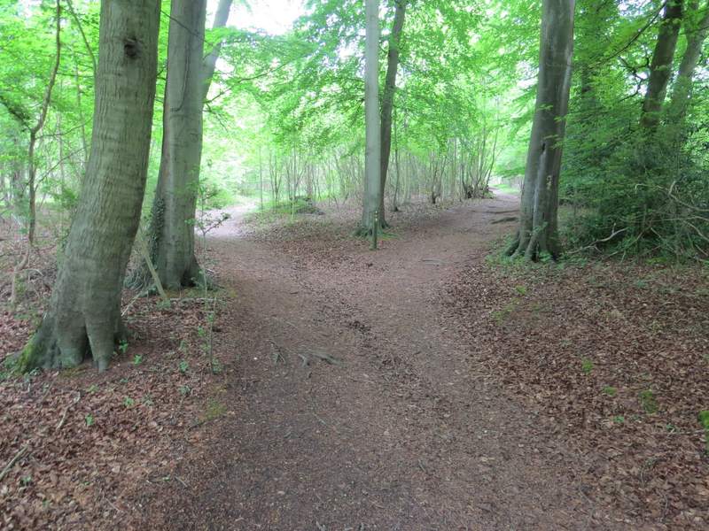
Near the start of the climb up Whiteleaf Hill (the Ridgeway takes the right fork here)
The Ridgeway climbing up Whiteleaf Hill
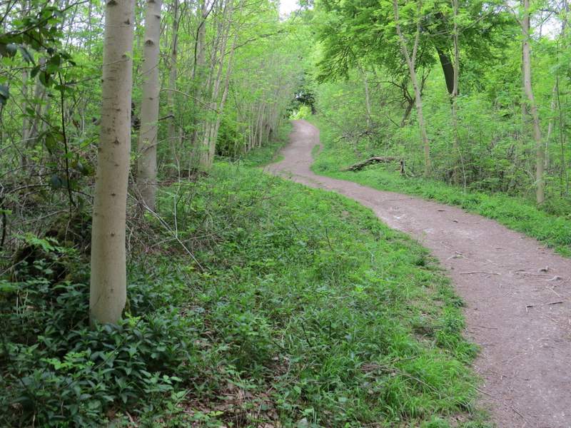
The Ridgeway climbing up Whiteleaf Hill
The Ridgeway approaching the top of Whiteleaf Hill
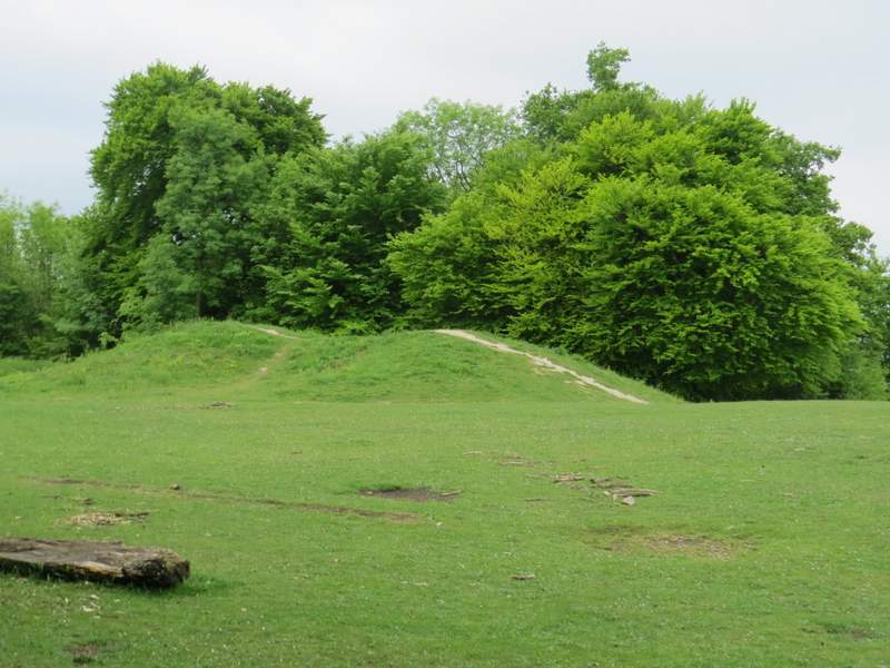
The Neolithic barrow on Whiteleaf Hill (it's about 5500 years old!)
View from Whiteleaf Hill
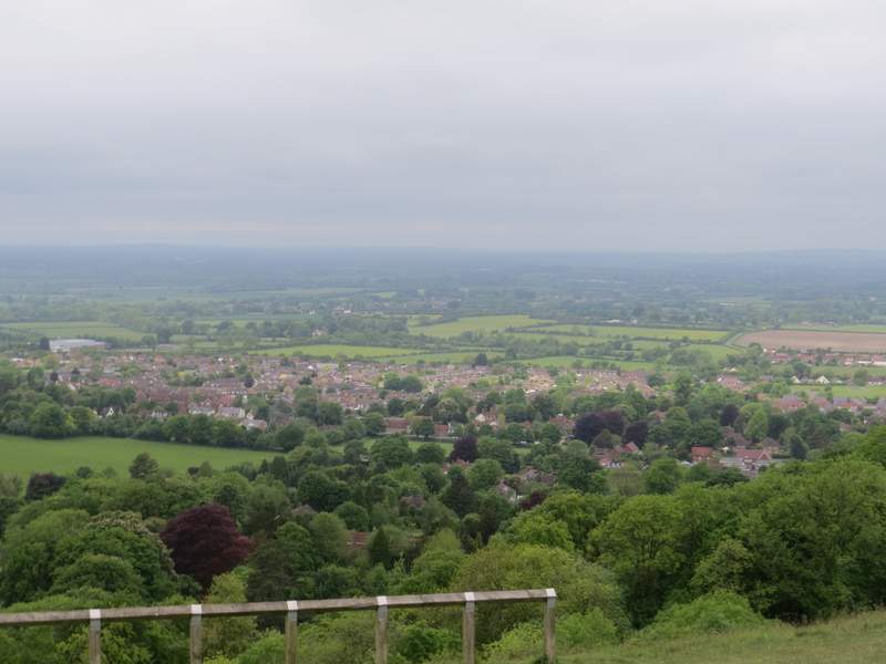
View from Whiteleaf Hill over Princes Risborough
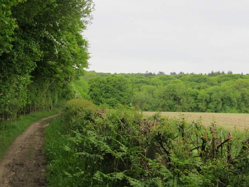
I turned left, passing the 5,500 year old burial mound on my right and going through a gate. After two or three hundred yards I finally left the Ridgeway, by turning left onto a bridleway. Immediately I passed the remains of some World War I practice trenches on my right. The bridleway then ran for several hundred yards just inside the edge of a beech wood, with a field close by on the right. There was a steep slope dropping down through the trees on my left - this is marked The Hangings on the OS map, but I don't know if that is the name of the wood or of the valley. I kept right where a footpath forked slightly left, and then when I reached the end of the field I turned right at a path crossroads. I still had the same field close by on my right, as I now walked just inside the edge of Sergeant's Wood. On emerging at a corner of the wood, I turned left and followed a bridleway that ran between the southwestern edge of Sergeant's Wood and a large field - I spotted a Silver-ground Carpet moth along here.
Start of the bridleway from Whiteleaf Hill, after I turned left from the Ridgeway
World War 1 practice trenches on Whiteleaf Hill
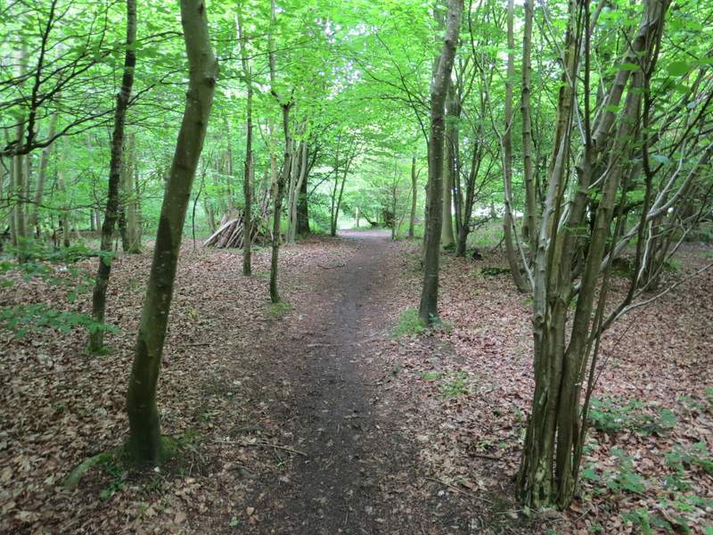
The bridleway passing The Hangings (I don't know if that's the name of the wood or the valley)
The bridleway passing The Hangings
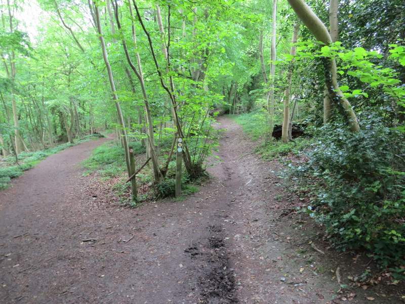
The bridleway passing The Hangings (it takes the right fork, the left fork is a footpath)
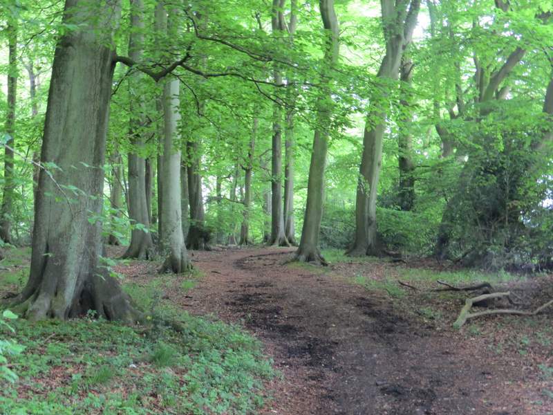
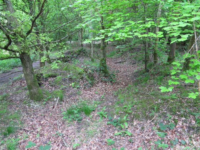
The bridleway just inside Sergeant's Wood, after I turned right
The bridleway along the southwest side of Sergeant's Wood, after I turned left
The bridleway along the southwest side of Sergeant's Wood