Pete's Walks- West Wycombe and Moorend Common (page 4 of 6)
If you are considering walking this route yourself, please see my disclaimer. You may also like to see these notes about the maps and GPX files.
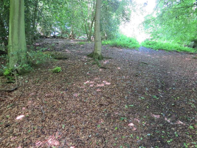
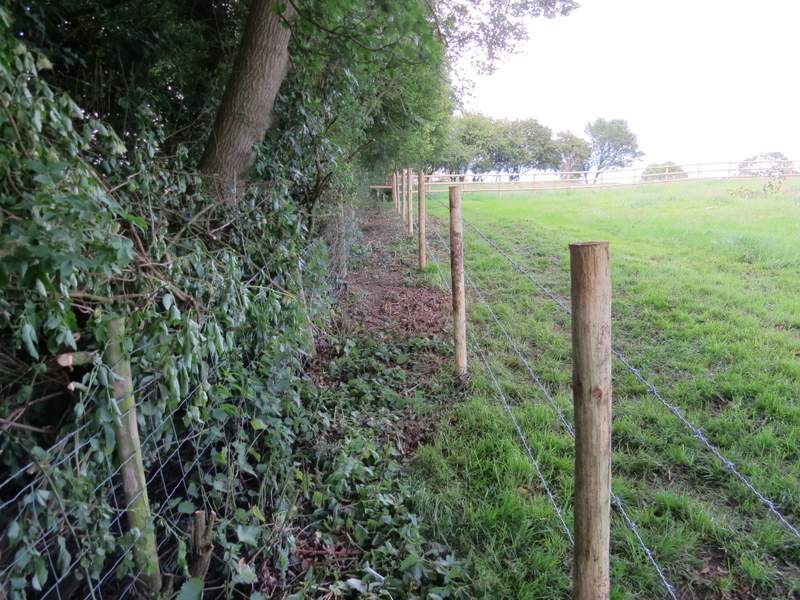
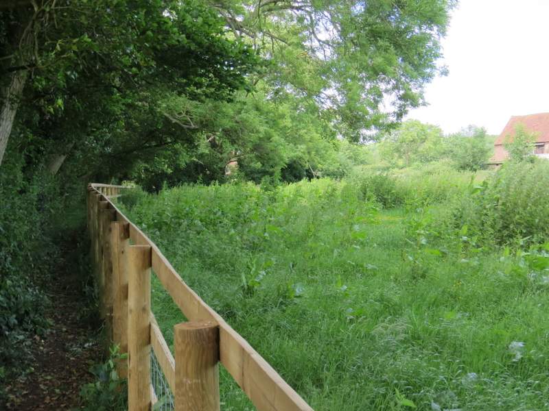
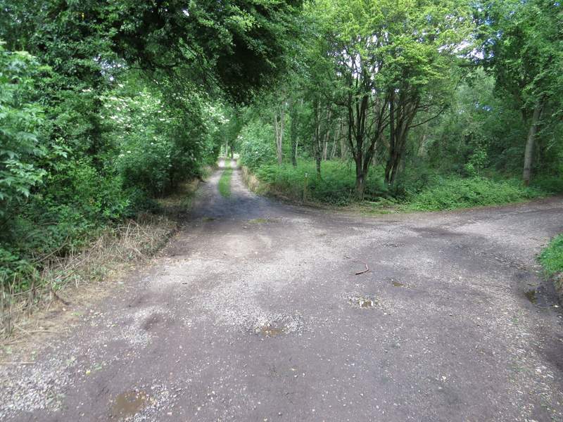
When I came to a path crossroad in Moussells Wood, I turned left but then found the path where I then intended to turn right was closed for forestry operations, so I came back to the crossroads and turned to what was now my left (so I was going straight on along the path from Little Frieth). [NOTE -curiously, this path crossroads is not shown on the OS map, which just shows a T-junction with the path I was now on actually starting some way along the path going left from the T-junction. This has confused me every time I've walked the crossing path, where I've expected separate junctions with paths either side but instead have found just this one crossroad]. The path dropped steadily downhill through the wood, turning slight right when it joined a track by a clearing. I then soon reached a minor road, where I turned left along a valley bottom. At first there was a field on my right, then woods either side. A path came in from the left just as the wood on that side ended - this was the path that I'd wanted to follow, but was found it had had been blocked by forestry operations (I've shown that way as 'Alternative 1' on my Google map). Shortly after I came to a junction with a lane, where I took a permissive path running along the far side of the lane (going to my right). Initially it ran between a hedge and some bushes (I found some Dragon's-teeth growing here), then continued between overhanging hedges.
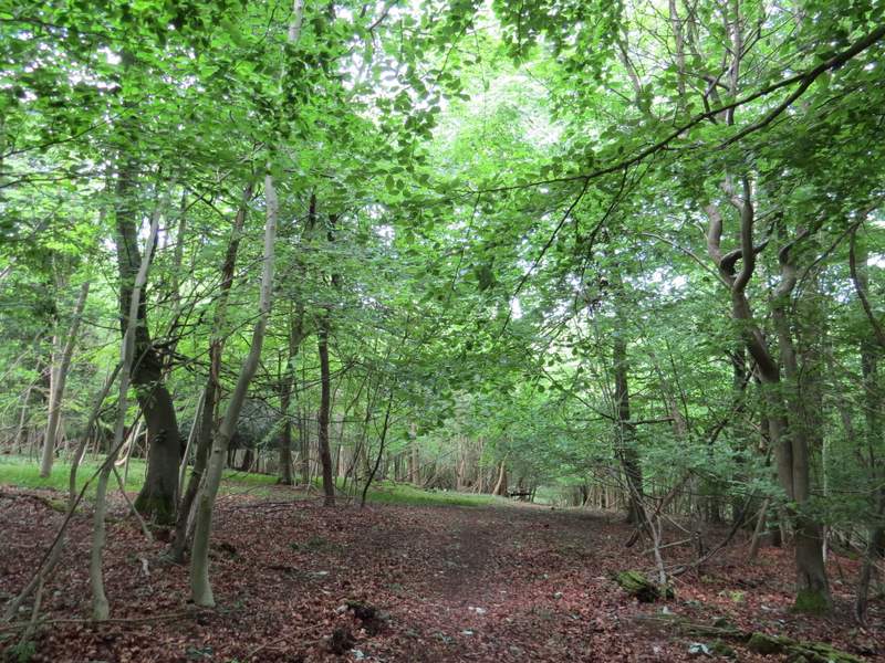
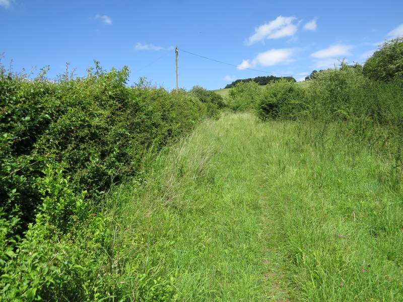
The path going straight on through Moussells Wood
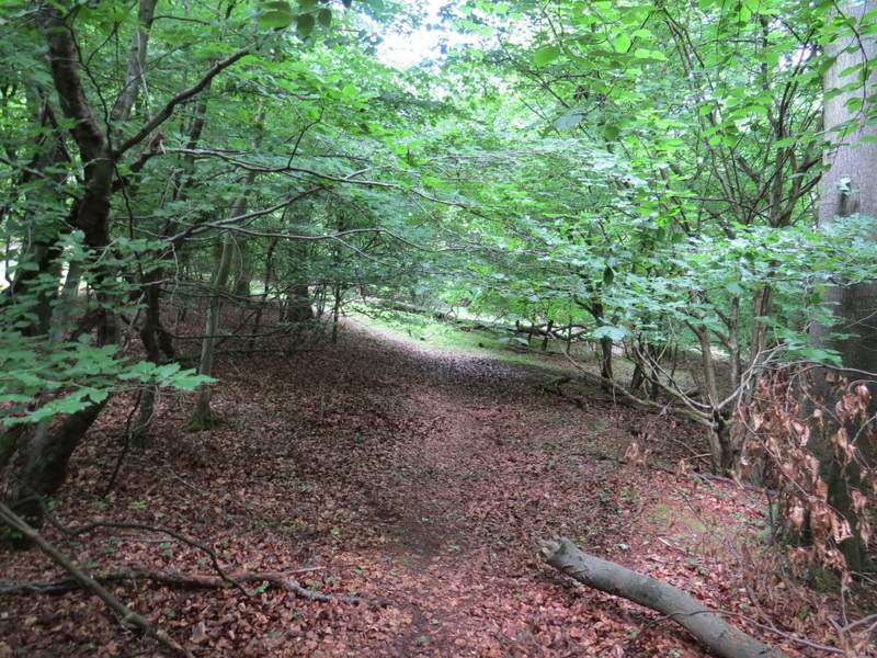
The path going straight on through Moussells Wood
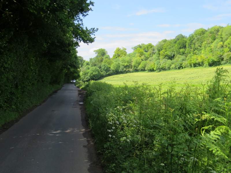
The minor road running next to Moussells Wood
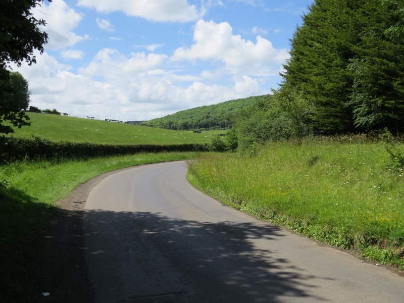
The minor road continuing towards Fingest
The permissive path next to the lane
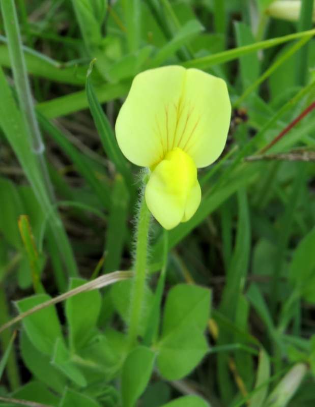
Dragon's-teeth
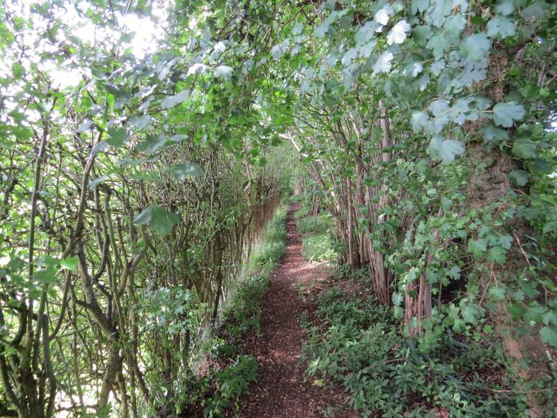
The permissive path next to the lane
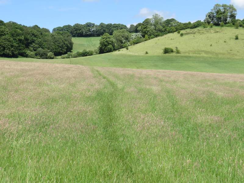
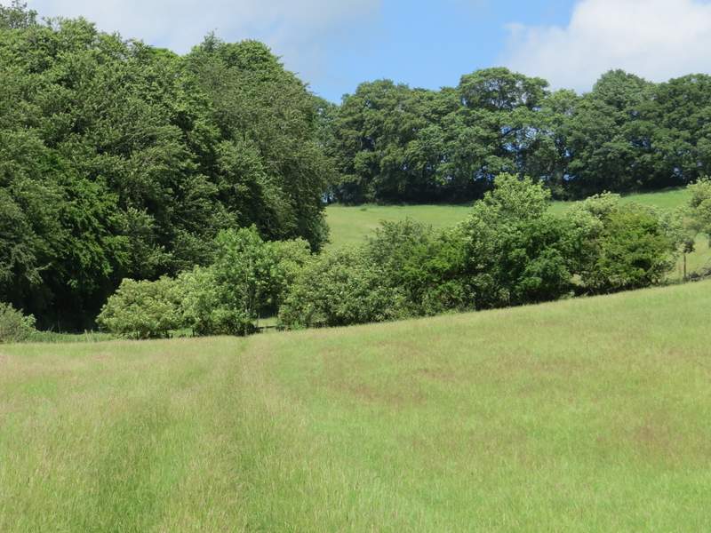
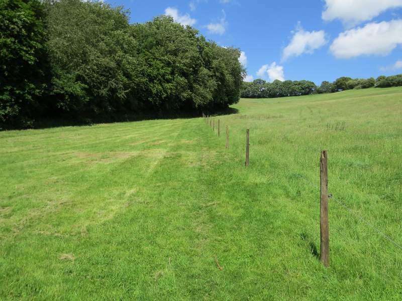
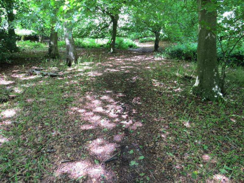
The permissive path ended by a bend in the lane on my right, where I took a path going left alongside a hedgerow. When the hedge turned left, I turned right onto another path (that would take me to Cadmore End), crossing a huge grassy field. Across a stile, the path crossed a corner of a large pasture (there was a wire fence separating the path from the main part of the pasture, new since I last walked this path). The path had been rising very gently uphill but it now steepened considerably as it continued uphill through a wood. Towards the top of the slope the path re-entered the same large pasture (again there was a new fence beside the path). The path then continued between fences and hedges, bringing me to the drive to Rackley's Farm where I turned left to reach a road in Cadmore End.
The footpath going left from the lane
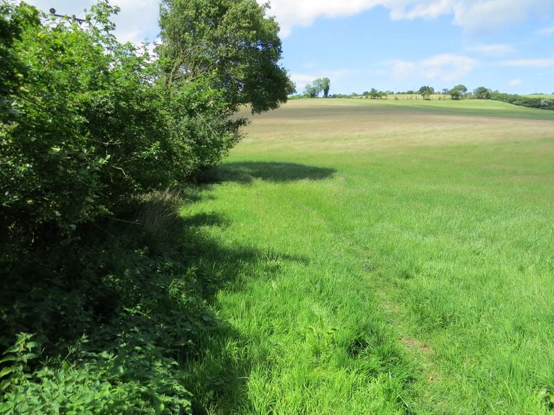
The path to Cadmore End (after I turned right by a hedge corner)
The path to Cadmore End
The path to Cadmore End
The path to Cadmore End
The path to Cadmore End
The path to Cadmore End
The path to Cadmore End, approaching Rackley's Farm
Across the road I continued down the drive to Kensham Farm, which soon crossed over the M40 motorway. Just after this, I turned right onto a bridleway along a track, with the woods of Cadmore End Common either side. Previously I have always then turned off onto a footpath on the right, but today I stayed on the bridleway. I soon came to a bridleway fork, where I kept left (the other bridleway here isn't on the OS map), still on a track.
The drive crossing the M40 at Cadmore End

The drive after I turned right, just after crossing the motorway
At this bridleway fork I kept left - after a short distance the bridleway then forked right from the track