Pete's Walks- Cowleaze Wood, Chinnor, Ibstone (page 1 of 7)
If you are considering walking this route yourself, please see my disclaimer. You may also like to see these notes about the maps and GPX files.
NOTE (6/11/2025): Parking at Cowleaze Wood is no longer free, there is now a cashless payment system. To see details, click here and then click on the 'Parking and prices' tab.
I did this circular walk of about 16.5 miles on Saturday, July 8th, 2017. It was a repeat of a walk I did in February 2016, which I then repeated in the opposite (anti-clockwise) direction in October 2016.
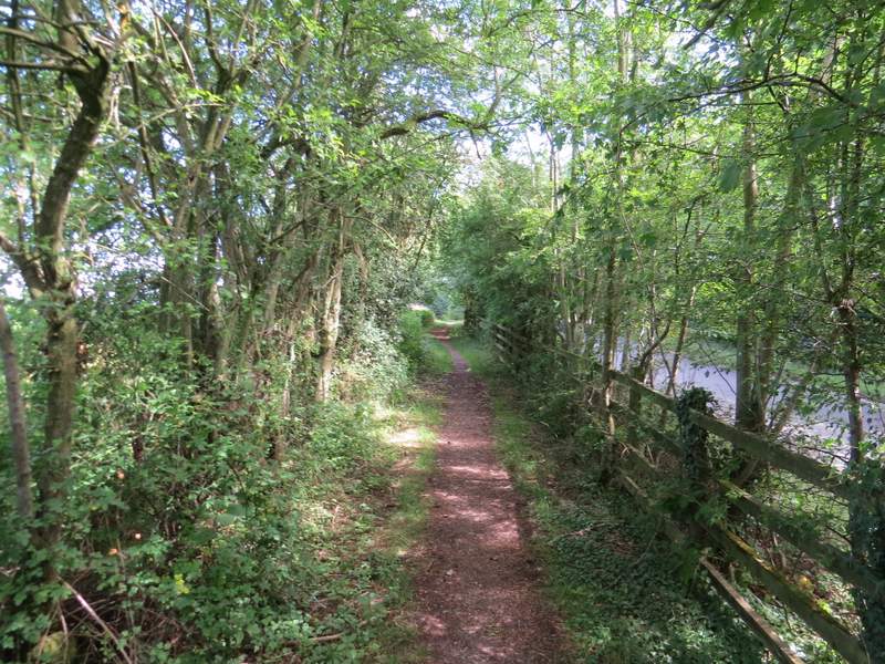
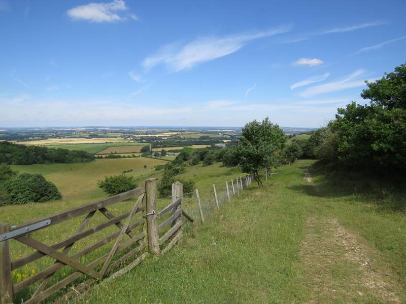
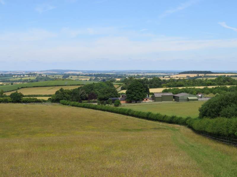
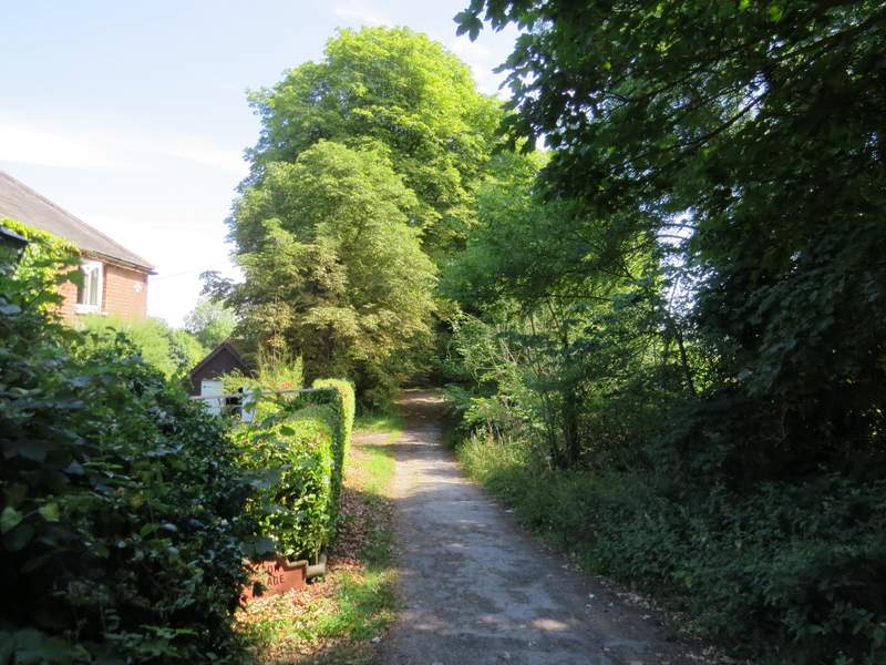
I parked in the large car park at Cowleaze Wood (grid reference SU 726956) and started walking rather belatedly at about 10:35am (one reason was that the road from Halton was closed near to the centre of Wendover, and the diversion was at least 8 miles long!). I walked through the car park with the road to my left until I reached some notice boards on the left (by some disabled parking spaces), where I crossed the road, went through a gate and turned right through part of the Aston Rowant nature reserve. I followed the path, roughly parallel to the road, soon crossing a track (Hill Road, I'd meet it again fairly soon). A little further on, just after passing a picnic table on the right, I turned left onto a footpath that soon started to descend Linky Down, with fine views ahead over the Oxfordshire Plain (only slightly marred by the M40). This was a very enjoyable stretch of the walk, especially on a fine summer day such this with several butterflies (mainly Marbled Whites) and several species of wildflower adding to my enjoyment (including Scabious, Lady's Bedstraw, Agrimony, Squinancywort and Bird's-foot Trefoil). Towards the bottom of the slope the path entered a large meadow and followed a hedge on the right to reach Hill Farm, where I continued along the drive from the farm (actually this is a lane, Hill Road, the former end of which I'd crossed a short while earlier - it's closed to traffic at Hill Farm, but I could have followed it downhill from Cowleaze Wood, but as it appears to be enclosed by tall hedges most of the way that wouldn't have been anywhere near as nice as the path I'd just come down).
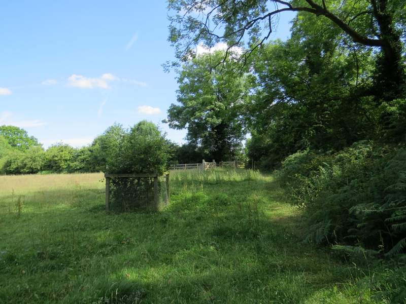
The path through the Aston Rowant nature reserve, across the road from Cowleaze Wood
The path through the Aston Rowant nature reserve
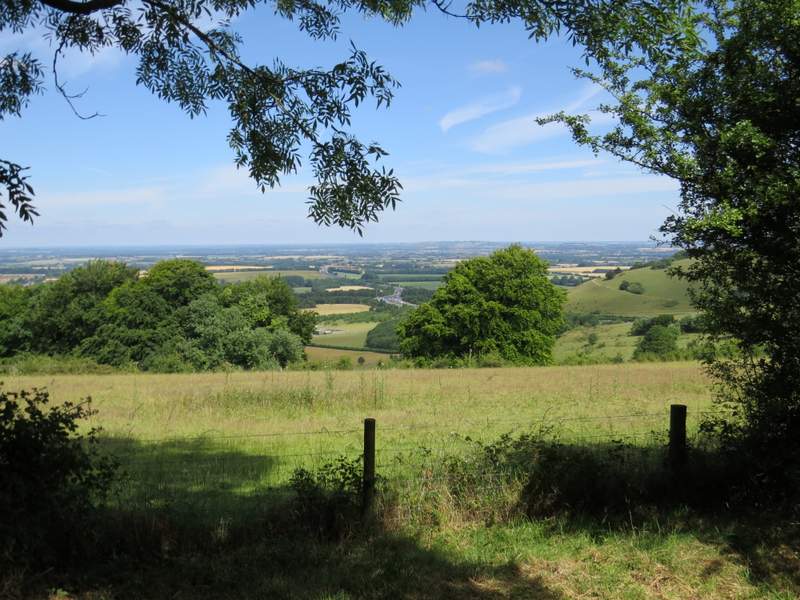
View left out over the Oxfordahire Plain, from the path through the Aston Rowant nature reserve
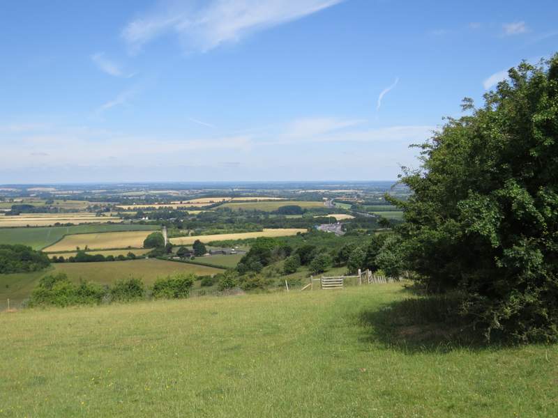
The start of the path descending Linky Down
The path descending Linky Down
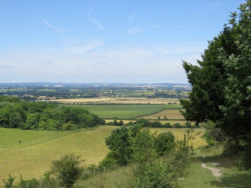
The path descending Linky Down
The last section of the path descending Linky Down
The lane from Hill Farm (it's actually Hill Road, but is closed to traffic after the farm)
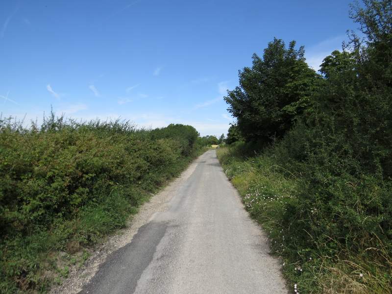
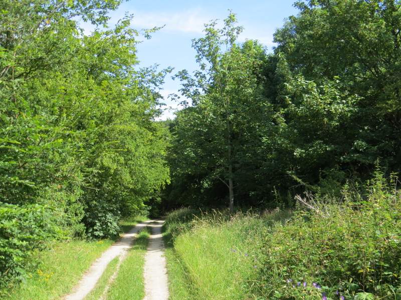
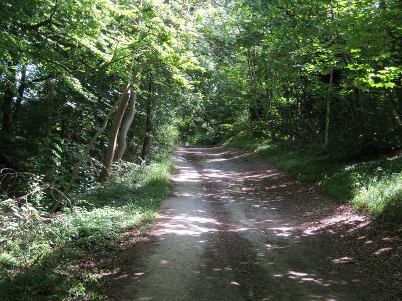
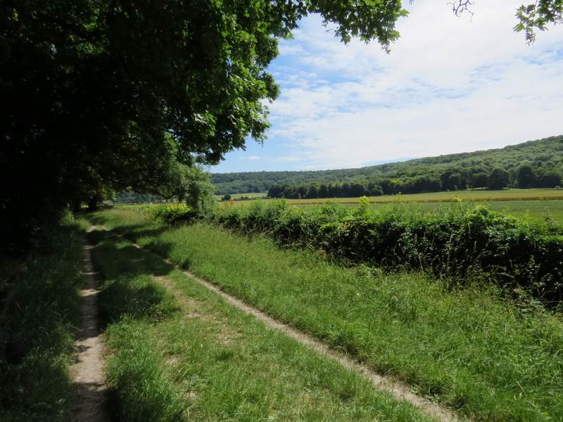
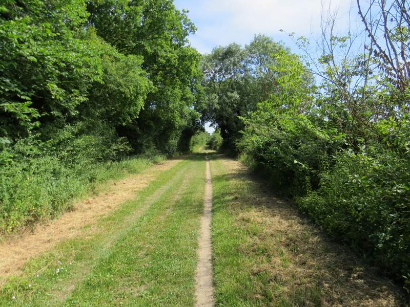
After maybe a couple of hundred yards or so I turned right onto a section of the Ridgeway national trail, which here was a very broad track between hedgerows. I soon passed under the M40 motorway, and continued on past the bottom of Beacon Hill on my right (much of it is another part of the Aston Rowant nature reserve, which is split in two by the M40). Soon after crossing the A40 there was a long stretch where I could see the wooded slope of part of the Chiltern escarpment across the fields on my right.
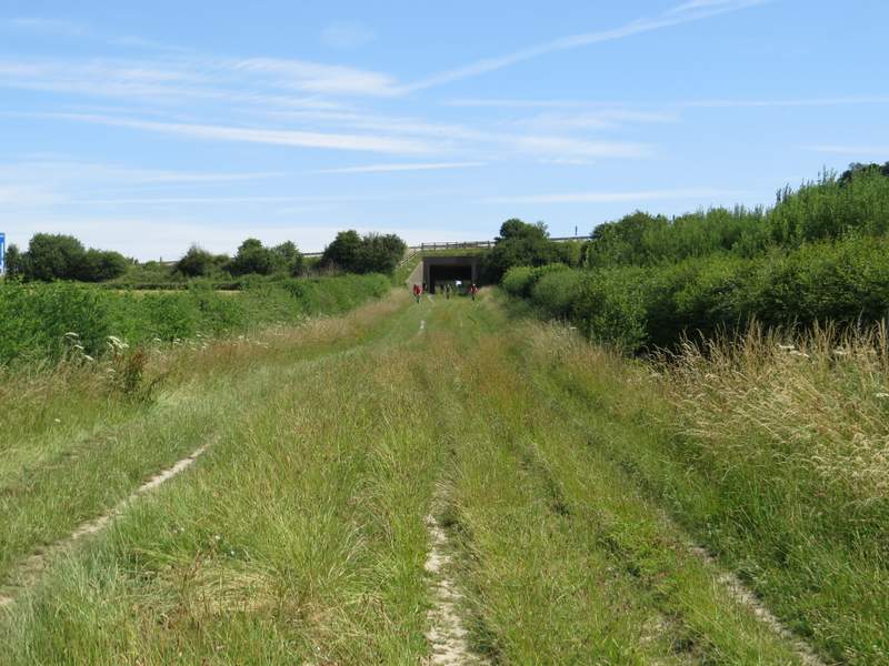
The start of the long section along the Ridgeway, approaching the M40 bridge
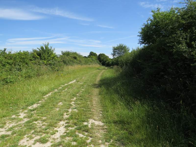
The Ridgeway
The Ridgeway
The Ridgeway
The Ridgeway, immediately after crossing the A40
The Ridgeway
The Ridgeway