Pete's Walks- Little Missenden and Knotty Green (page 1 of 6)
If you are considering walking this route yourself, please see my disclaimer. You may also like to see these notes about the maps and GPX files.
Google map of the walkDownload GPX file of the walk
I did this circular walk of about 15.1 miles on Friday, July 14th, 2017. It was a basically a repeat of a walk I did in March 2010, but in the opposite (anti-clockwise) direction and starting at Little Missenden rather than Old Amersham (as I'm too mean to pay to use the car the park there!). There was one other inadvertent change from that route - I turned left prematurely in Brown's Wood near Knotty Green, and so walked the 'wrong' two sides of a rectangle of paths (which I'd never walked before).
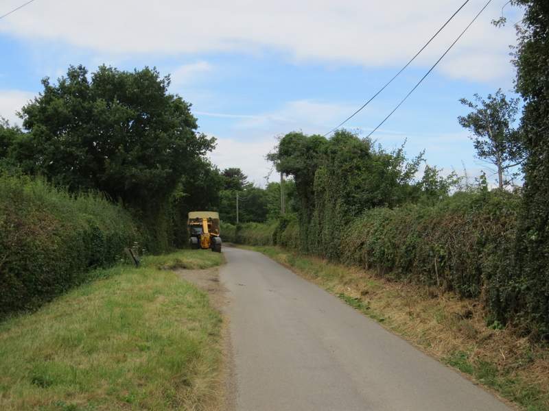
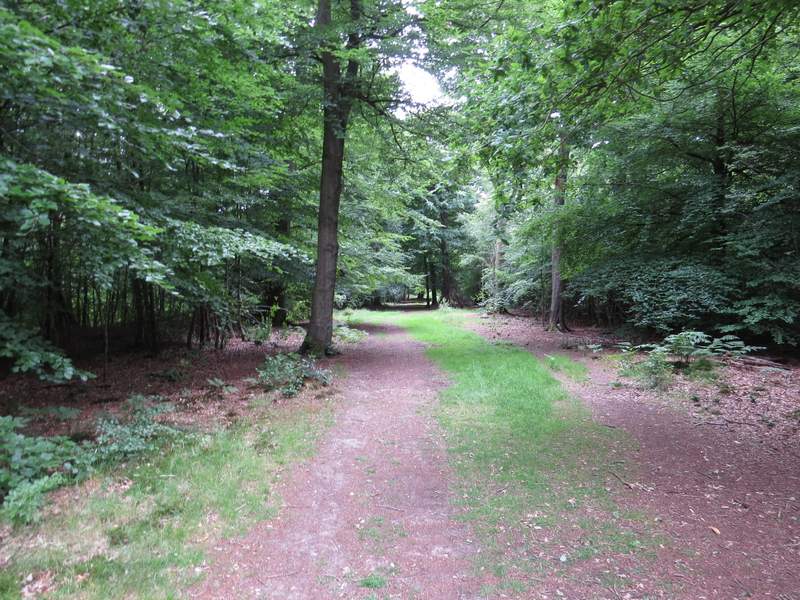
I parked opposite the church in Little Missenden (grid reference SU 921989), and started walking shortly before 10am. I headed west, out of the village (so initially the church was on my right), and just a few yards after the last house I took a footpath on the left that went diagonally across a paddock (the horses were in a separate part of the paddock, beyond an electric fence). I then turned left along a hedge-lined bridleway, named Kingstreet Lane on the OS map. Very soon I passed a gap in the hedges where a path went left (part of the South Bucks Way) and then I was on a long section of the bridleway that I'd only walked once, in the opposite direction (when I did that walk in March 2010). The bridleway turned right and then left, before starting a long steady climb uphill. It was fairly soon passing through woodland, with Haleacre Wood on my right and Coleman's Wood on my left. It now levelled out, and beyond the wood ran for almost another half-mile between hedges that gave few opportunities of seeing what was on the other side of them.
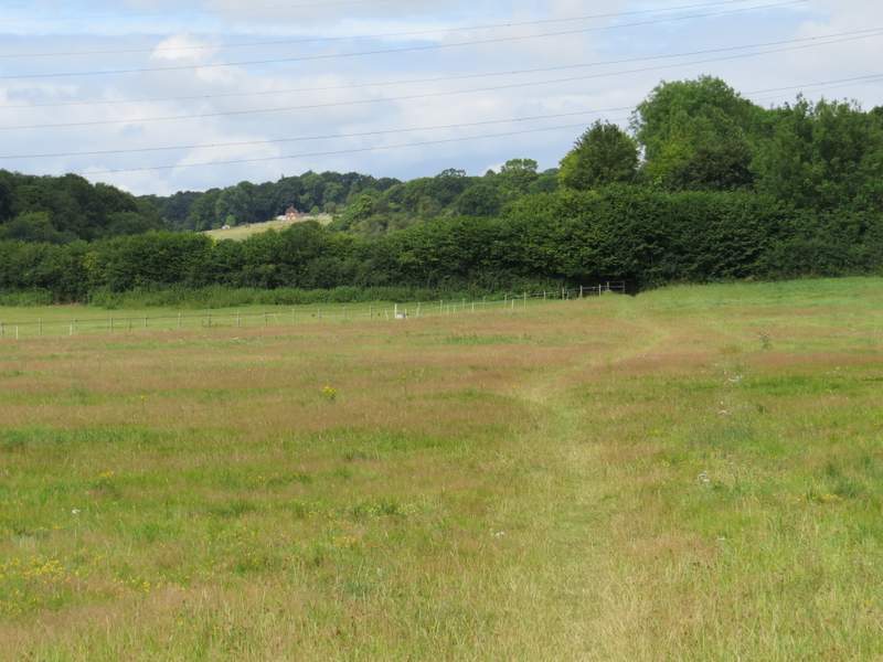
The path out of Little Missenden
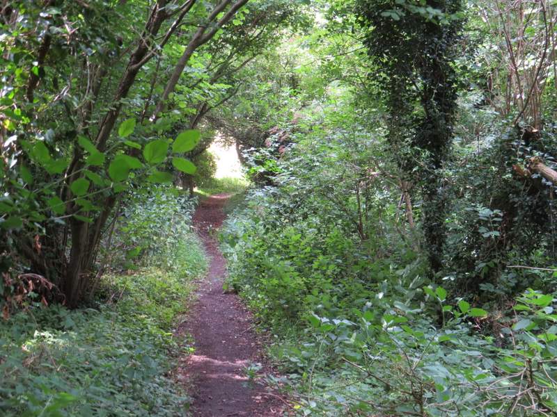
Near the start of the bridleway name Kingstreet Lane
Near the start of the bridleway name Kingstreet Lane
Kingstreet Lane
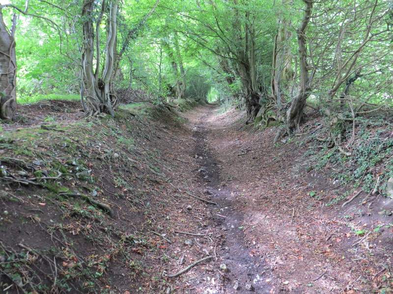
Kingstreet Lane
Kingstreet Lane
Kingstreet Lane
Kingstreet Lane
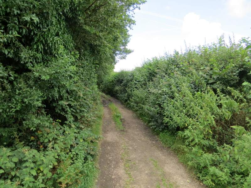
Kingstreet Lane
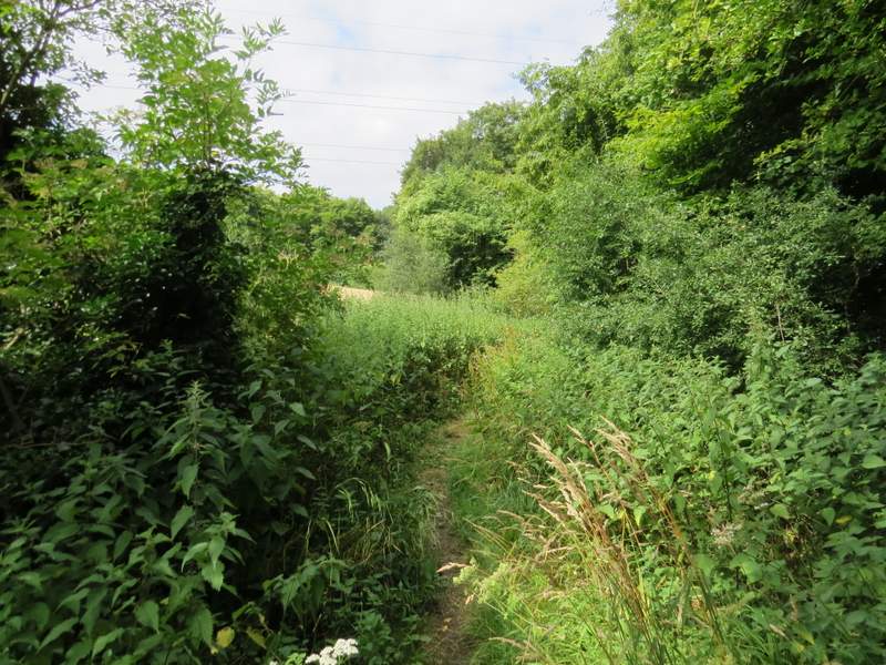
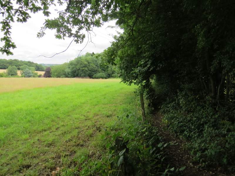
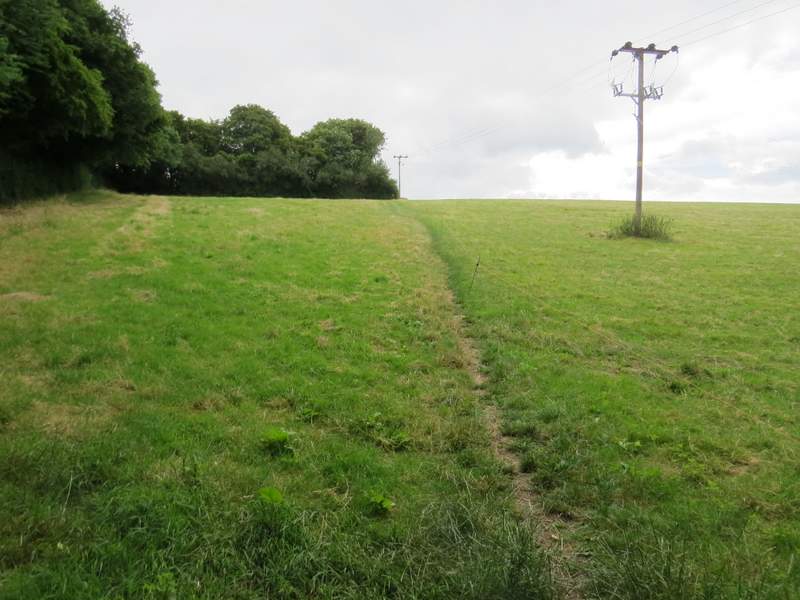
When I eventually reached a lane in Holmer Green (Penfold Lane, which also comes here from Little Missenden) I turned right. I then couldn't remember which way I went next on the walk I did in March 2010 - in fact I should have turned left down a street, but instead chose to go on a few yards and turn left along a path that was a narrow and rather overgrown alley that was soon running behind some garages. At a path junction I turned left, and followed another alley the short distance to the street I should have gone down. I turned right, but within a few yards went left into a short cul-de-sac, at the end of which a footpath led between gardens and took me out of the village. The path ran between hedges and fences for some distance with fields and paddocks either side, before going down and up a small dip in a wood. It then continued uphill through a grassy field, levelling out as it reached a hedge corner, and following the hedge (on my left) to reach Beamond End Lane at Beamond End Farm - or Beamond End Ranch as it's named on the OS map. The OS map also shows Beamond End Lane as a proper lane, but on a walk I did earlier this year I noticed it is closed to traffic at Little Missenden and I now saw there were signs prohibiting traffic just the other side of the farm entrance. I turned right and followed Beamond End Lane through the hamlet of the same name, and when it ended at a bend in a minor road coming from Holmer Green I went more or less straight on and very quickly reached the A404 main road opposite an entrance to Penn Wood.
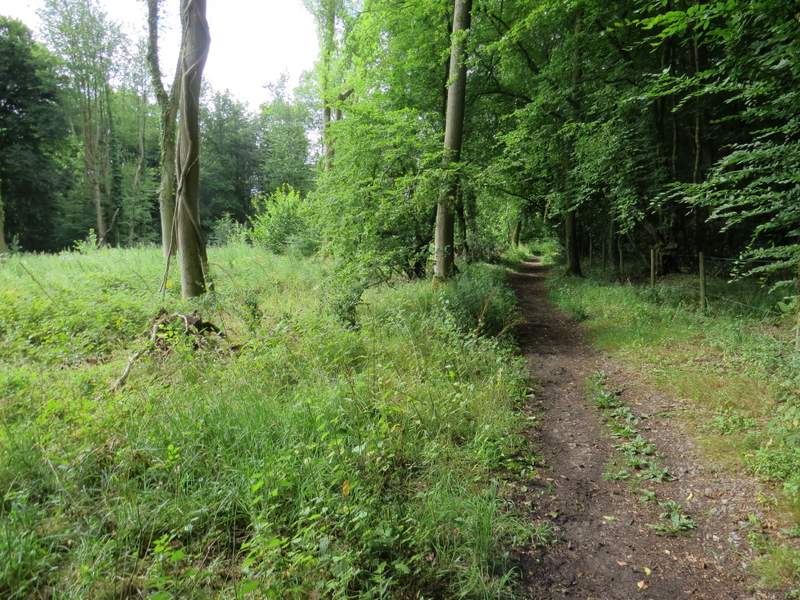
The path from Holmer Green to Beamonds End Lane
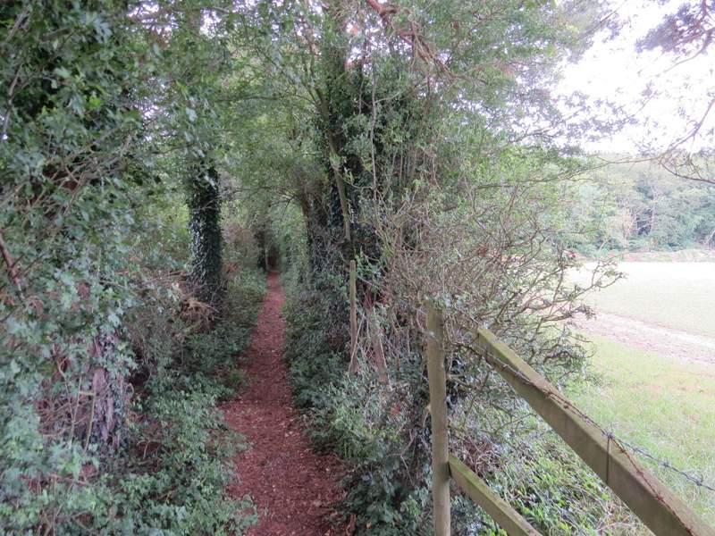
The path from Holmer Green to Beamonds End Lane
The path from Holmer Green to Beamonds End Lane
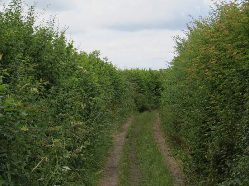
Beamonds End Lane
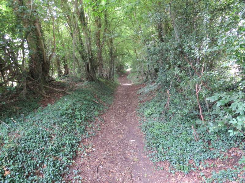
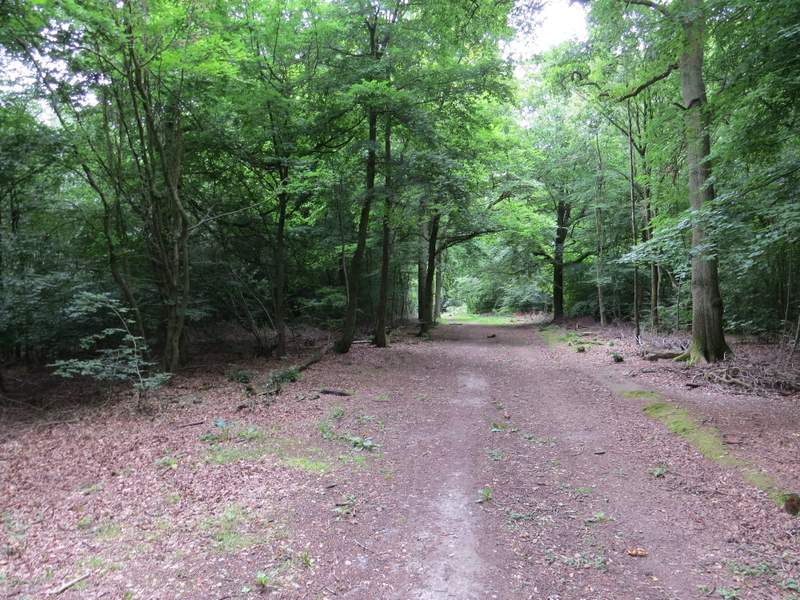
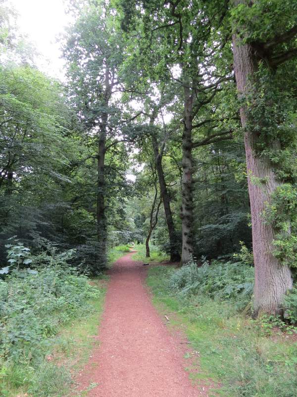
After carefully crossing the road, I followed a path into Penn Wood and soon came to a path junction where I turned half-left (the other options were left or straight on, though there seemed to be another path forking very slightly right). It has been several years since I last walked this path, and after a short while I started to wonder if I'd gone wrong somehow as it seemed very similar to the path that goes straight on through the wood. It was only when the path narrowed and became roughly surfaced that I knew I'd gone the right way. I then soon came to Penn Street Church (the path that went left from the three-way junction came in on the left immediately before the church - that's the path I've been using more recently when I've been here).
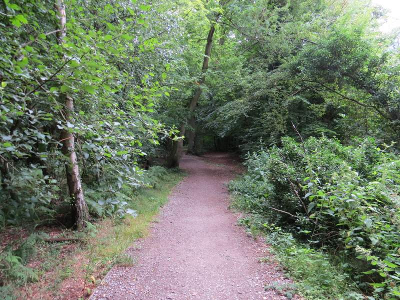
Near the entrance to Penn Wood
Penn Wood, after I turned left onto the path to Penn Street Church
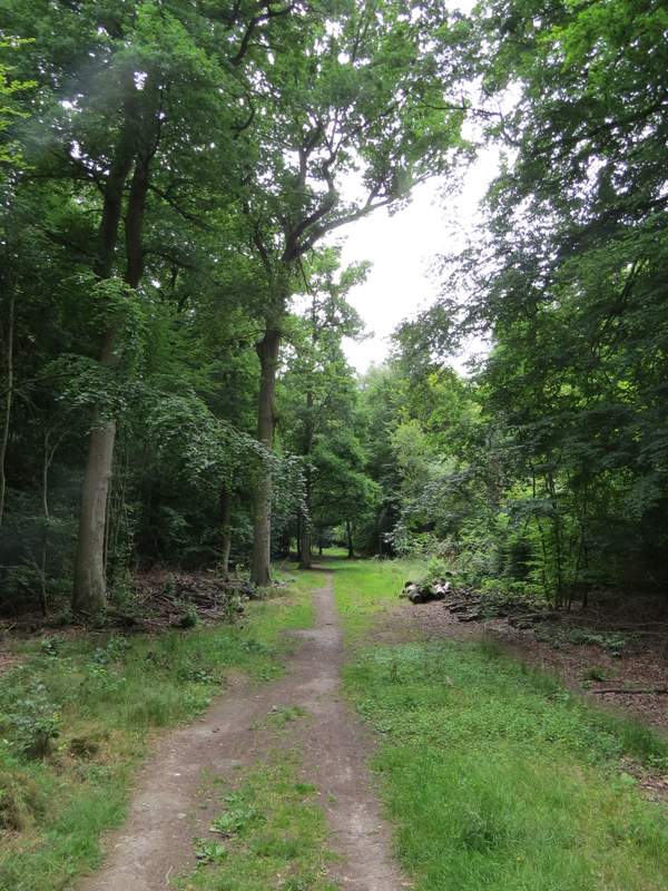
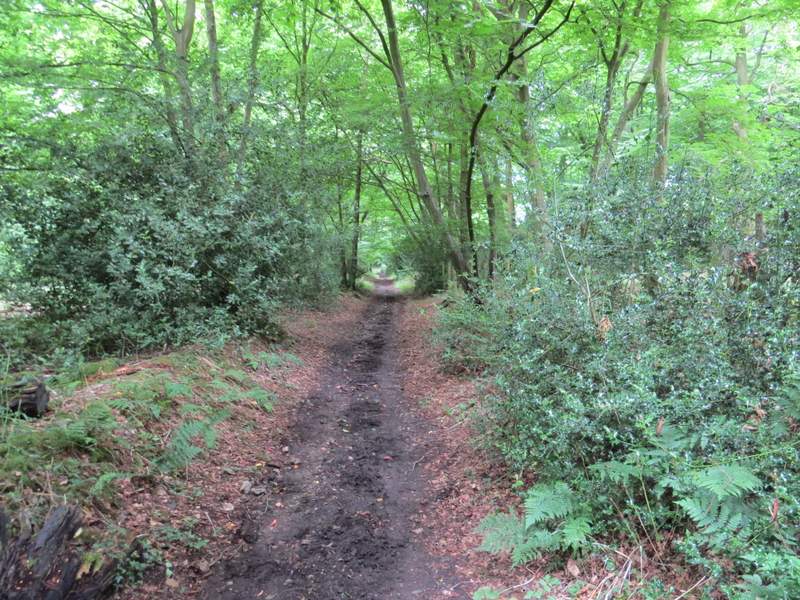
The path to Penn Street Church
The path to Penn Street Church
The path to Penn Street Church
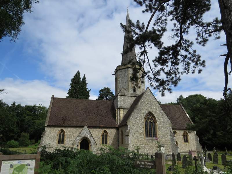
Penn Street Church