Pete's Walks - Chenies and Chalfont St Peter (page 1 of 3)
If you are considering walking this route yourself, please see my disclaimer. You may also like to see these notes about the maps and GPX files.
I did this walk of about 6.5 miles on Sunday, 17th September 2017. I parked by the green in the centre of Chenies (grid reference TQ017984), and started walking about 10.30am. I took the lane going right at the top of the green, which almost immediately turned left by the village school. I continued along the lane through part of Chenies, until it ended at a junction with the A404. Having carefully crossed over, I continued straight on down a bridleway running between hedgerows. After several hundred yards the bridleway passed along the edge of Halsey's Wood, and then a little further on it reached a bridge under a railway line.
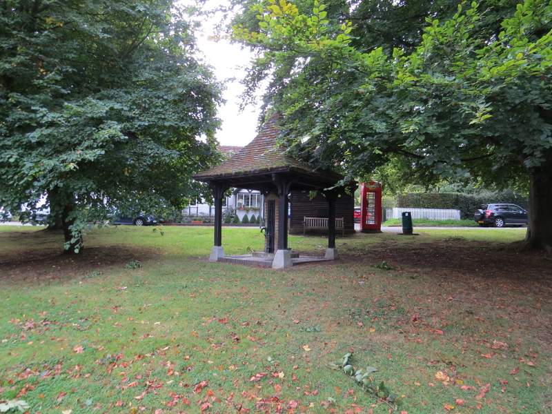
The old pump on the green at Chenies
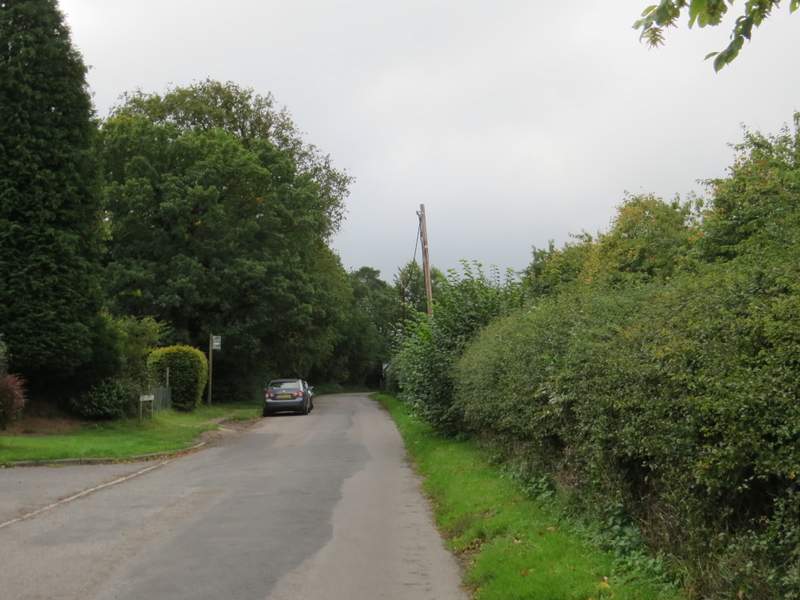
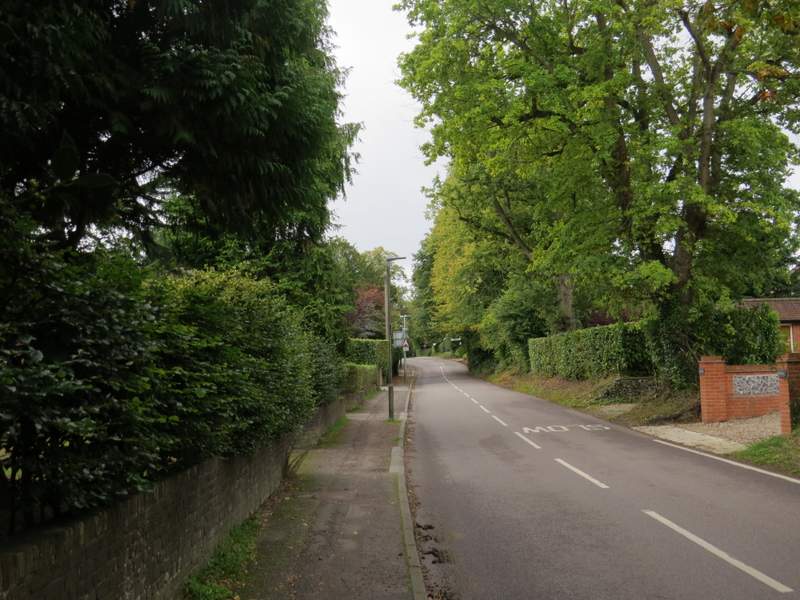
The lane from the centre of Chenies
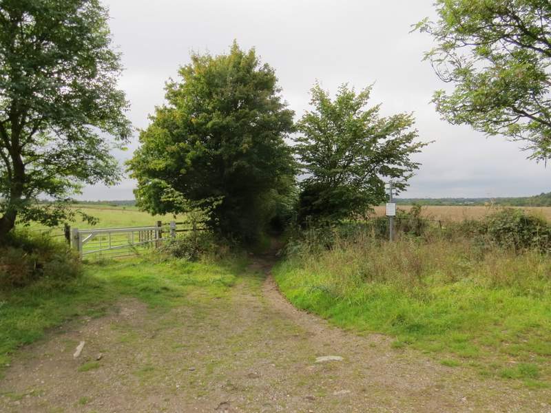
Start of the bridleway to Chorley Wood West
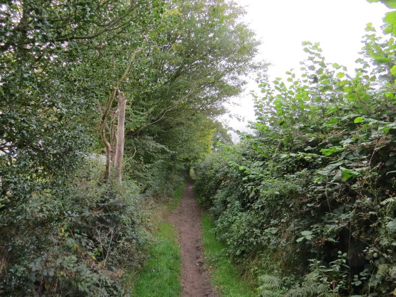
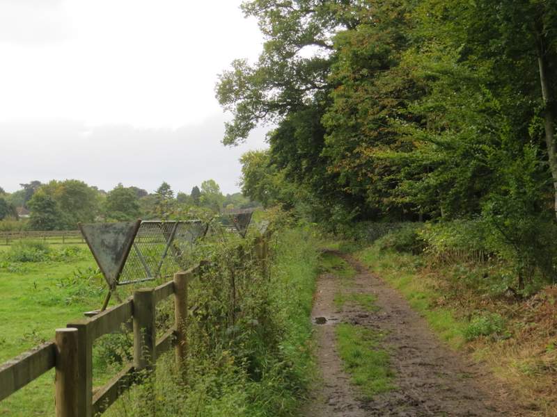
The bridleway to Chorley Wood West
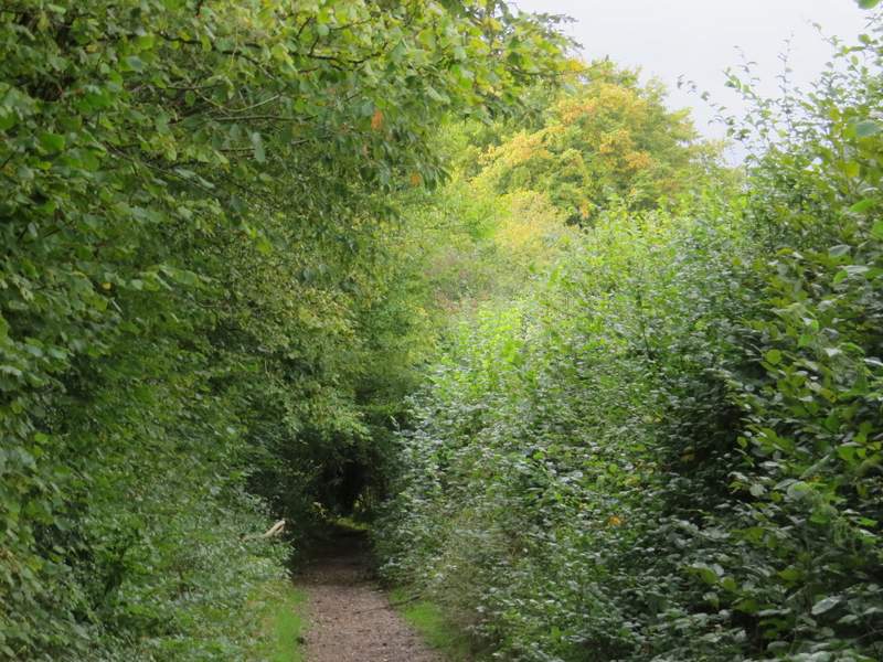
The bridleway to Chorley Wood West
The bridleway to Chorley Wood West
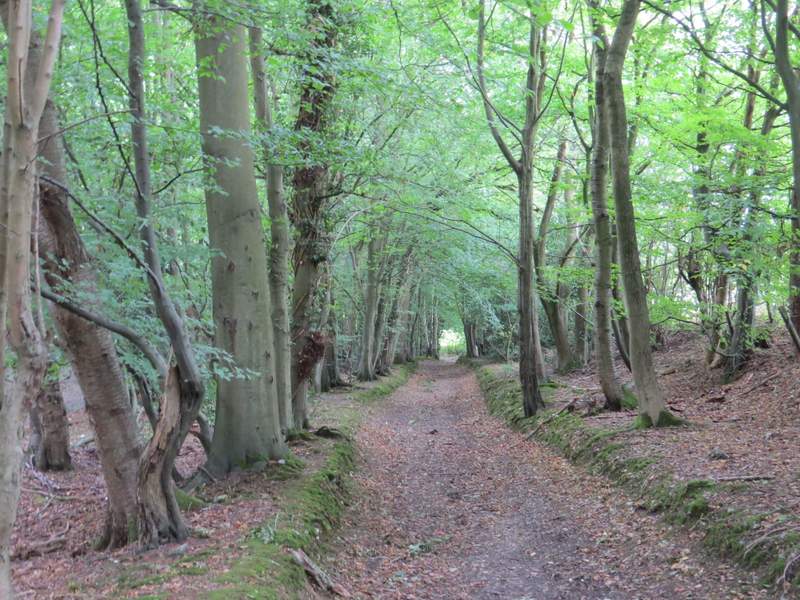
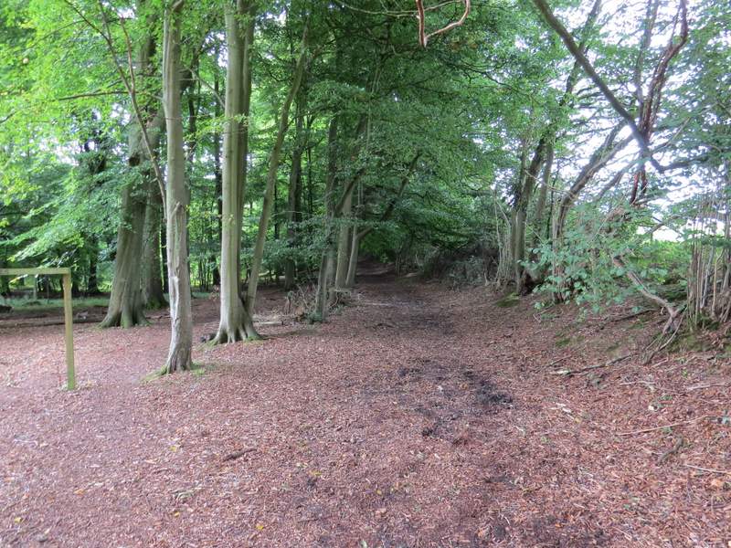
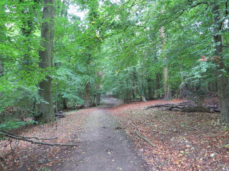
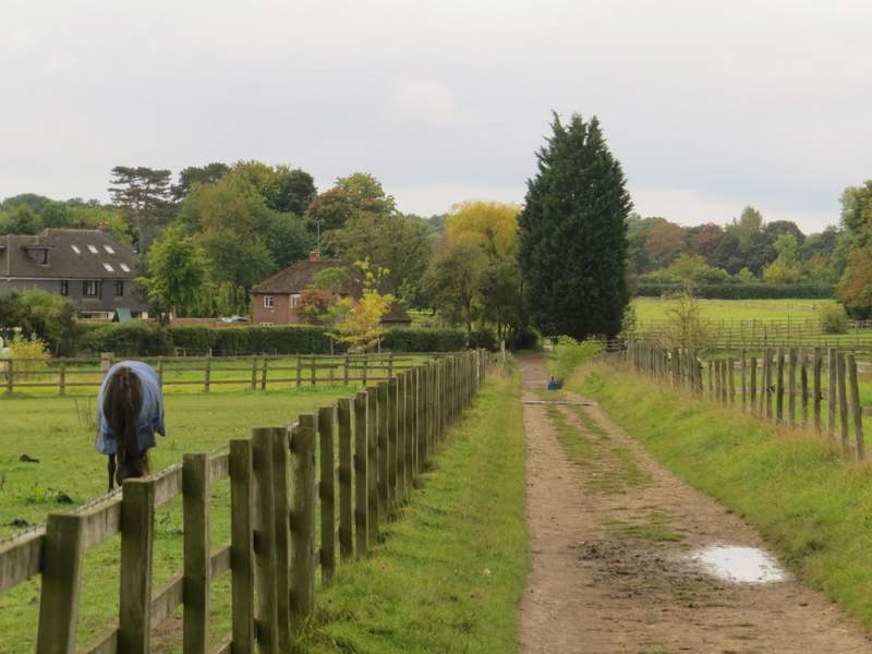
Beyond the railway bridge, the bridleway continued through a much larger wood - initially it was in Whitelands Wood, further on it was in Hillas Wood. On leaving the wood, the bridleway continued between paddocks on my left and the wood on my right, then with paddocks either side. It finally ended when it reached Farm Road in Chorleywood West where I turned left and followed the road a few hundred yards to a crossroads.
The bridleway to Chorley Wood West, now in Whitelanmds Wood
The bridleway to Chorley Wood West, now in Whitelanmds Wood
The bridleway to Chorley Wood West
The bridleway to Chorley Wood West
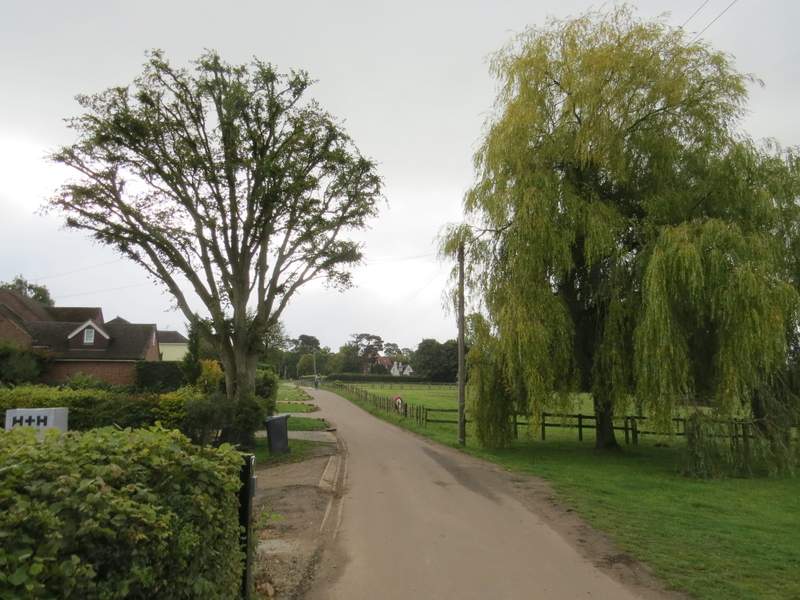
Farm Road, Chorleywood West
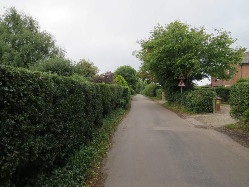
Chalfont Lane, Chorleywood West
I went straight on, down Chalfont Lane (a residential street), and at its end turned right into Shire Lane. Where this soon turned left, I went straight on down Old Shire Lane, following the Buckinghamshire/Hertfordshire boundary. After almost half a mile, the lane ended and a bridleway continued on alongside Phillipshill Wood on my right (this section is marked Shire Lane on the OS map)
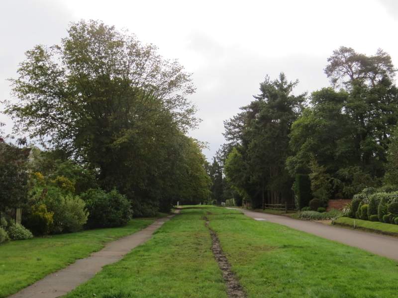
Shire Lane, Chorleywood West
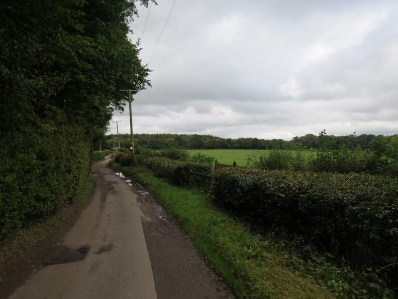
Old Shire Lane, Chorleywood West
Old Shire Lane